Project
Community
News
My App
My maps
Katalogisierte Karte
La Porte
View on external website
View digitized
Einrichtung:
United States Geological Survey
Vollständiger Titel:
La Porte
Jahr der Abbildung:
1951
Veröffentlichungsdatum:
1957
Maßstab der Karte:
1:24 000
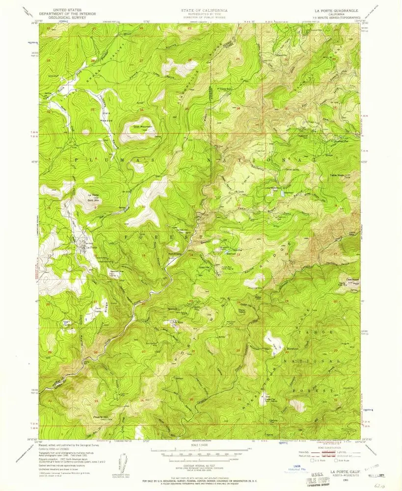
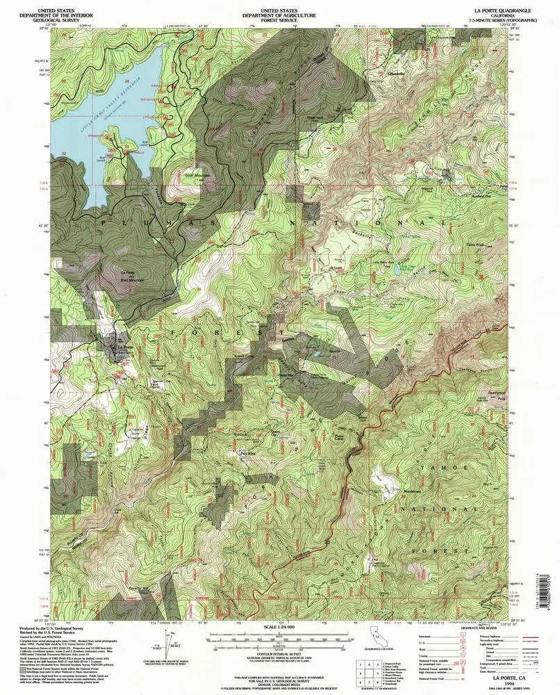
La Porte
1994
1:24k
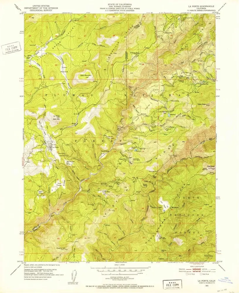
La Porte
1951
1:24k
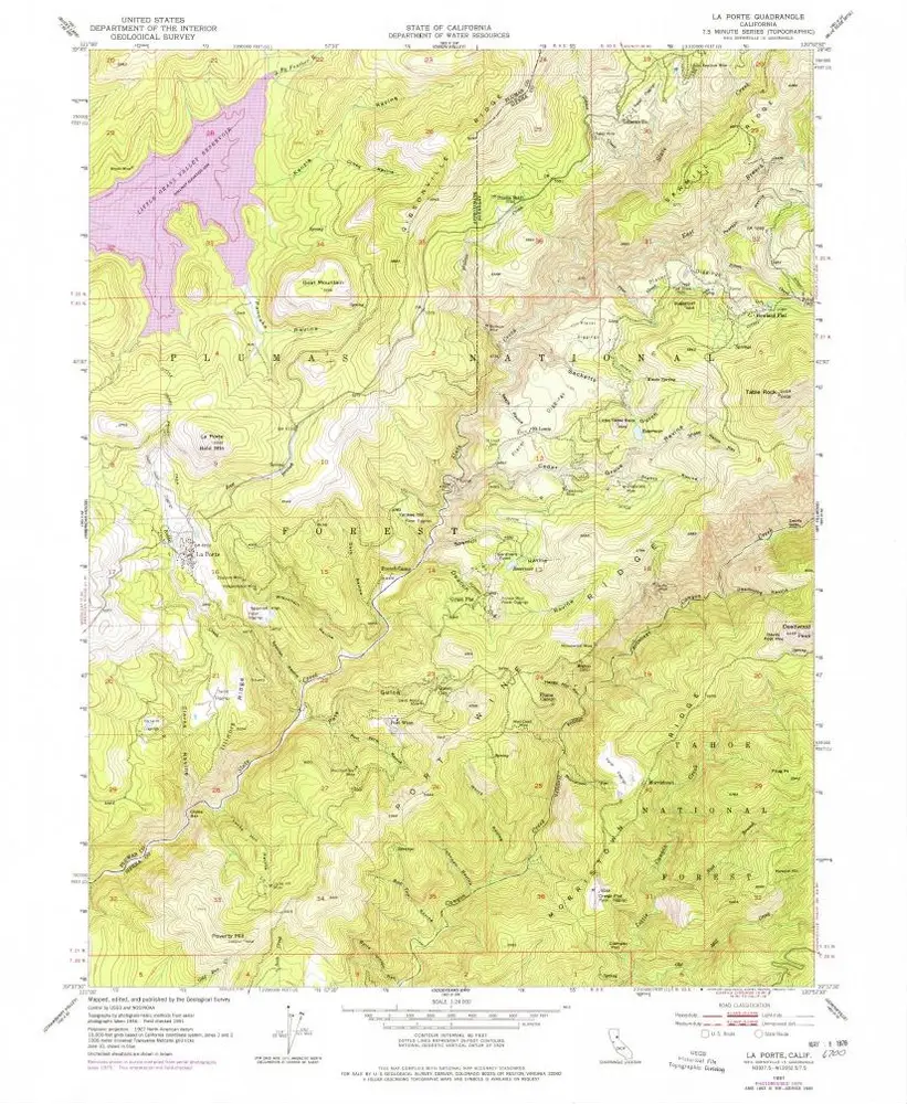
La Porte
1951
1:24k
La Porte
1951
1:24k
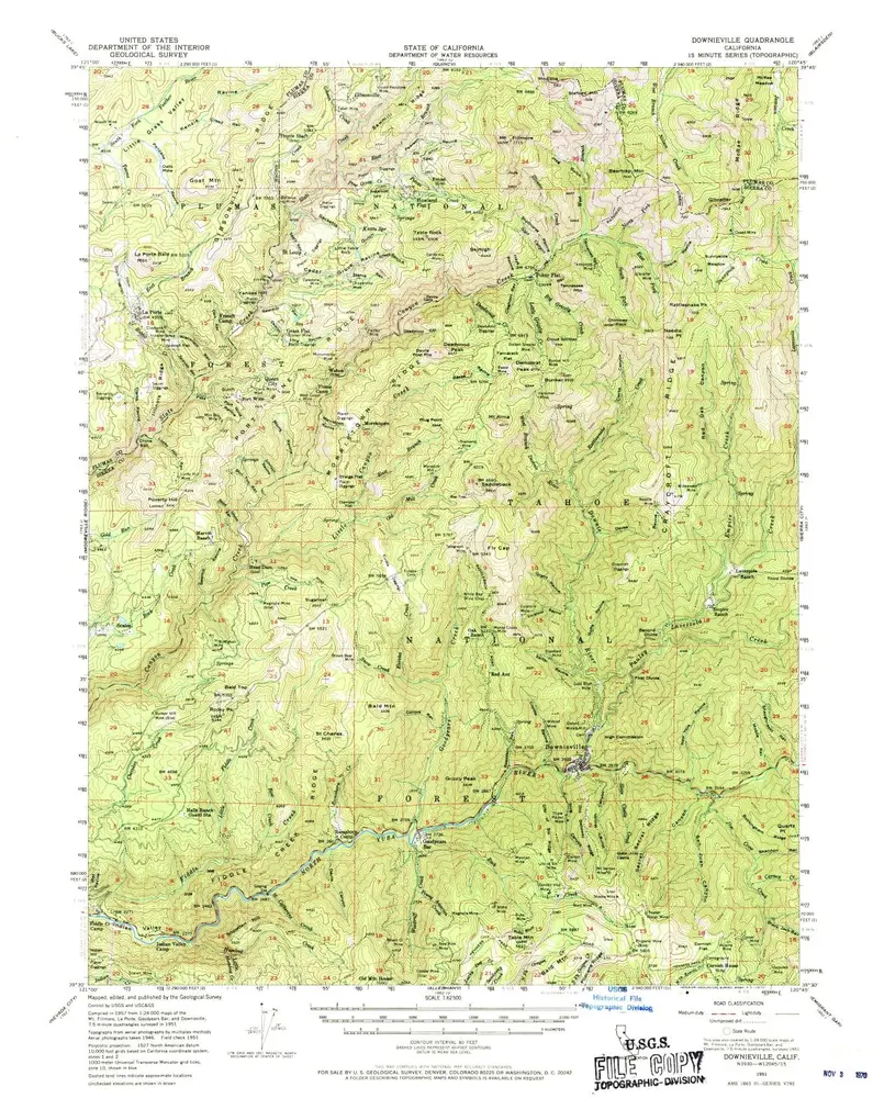
Downieville
1951
1:63k
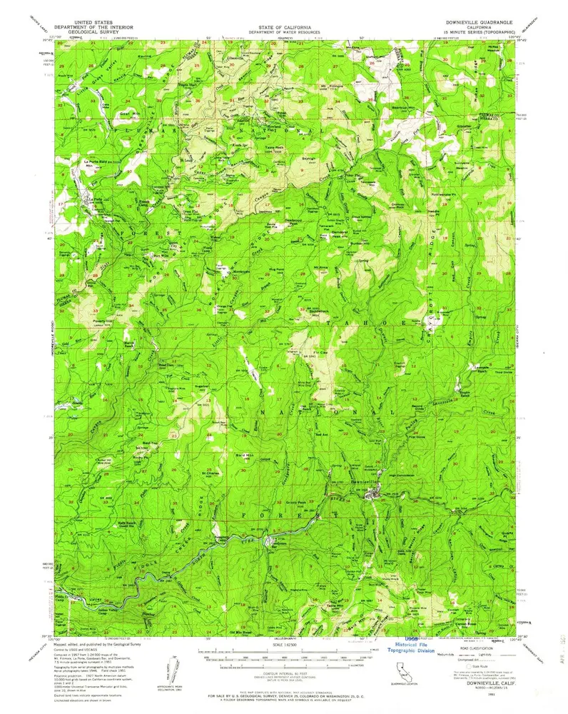
Downieville
1951
1:63k
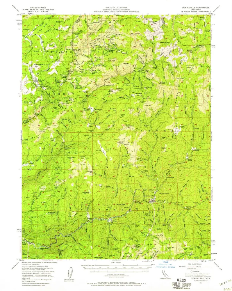
Downieville
1951
1:63k
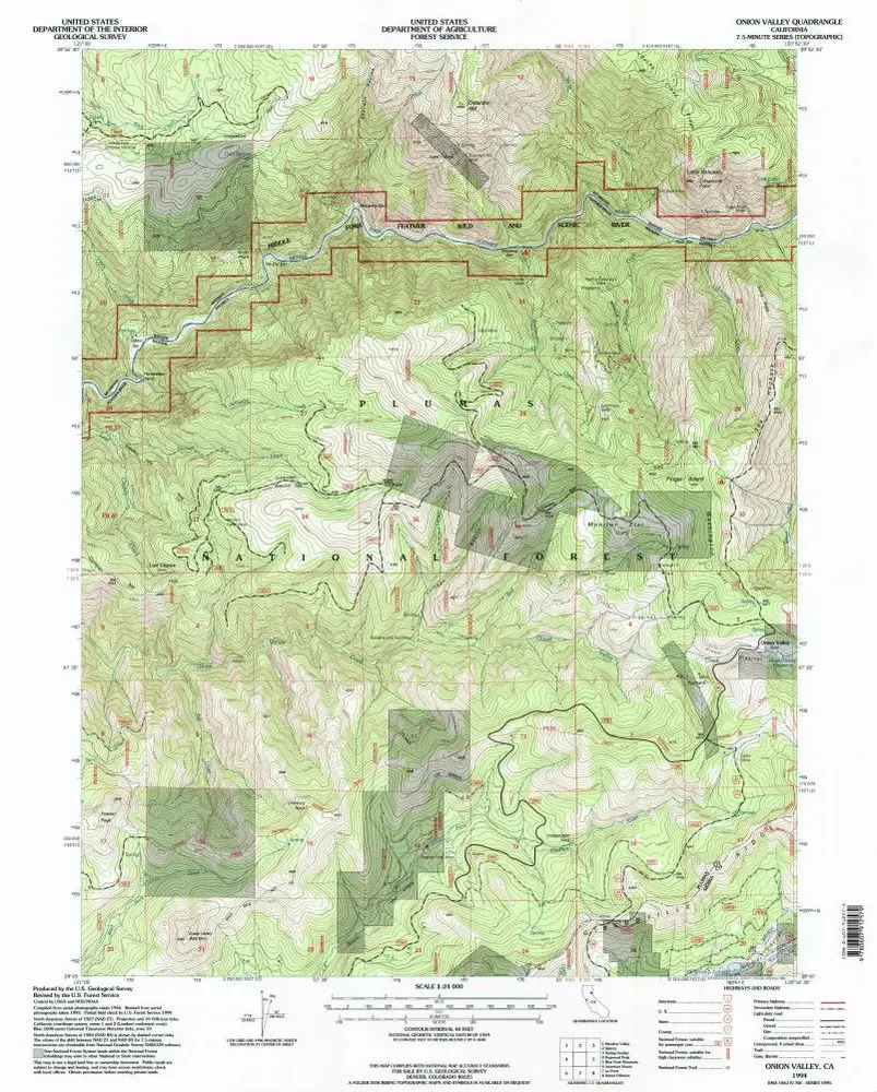
Onion Valley
1994
1:24k
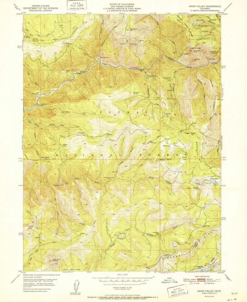
Onion Valley
1951
1:24k
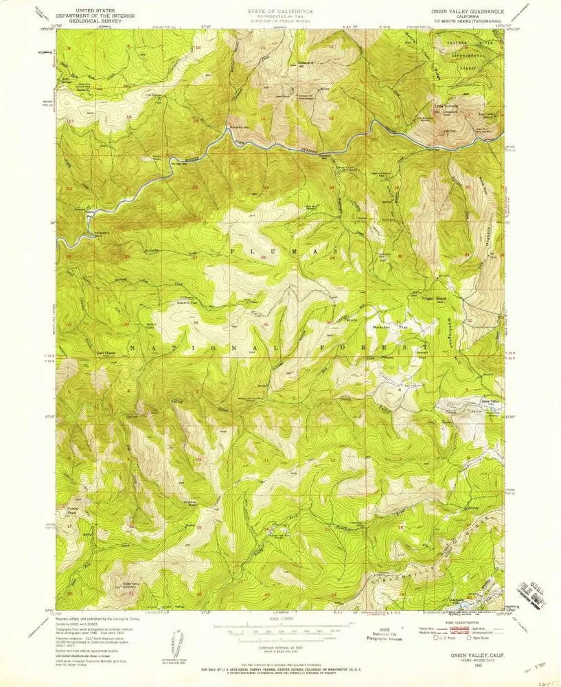
Onion Valley
1950
1:24k
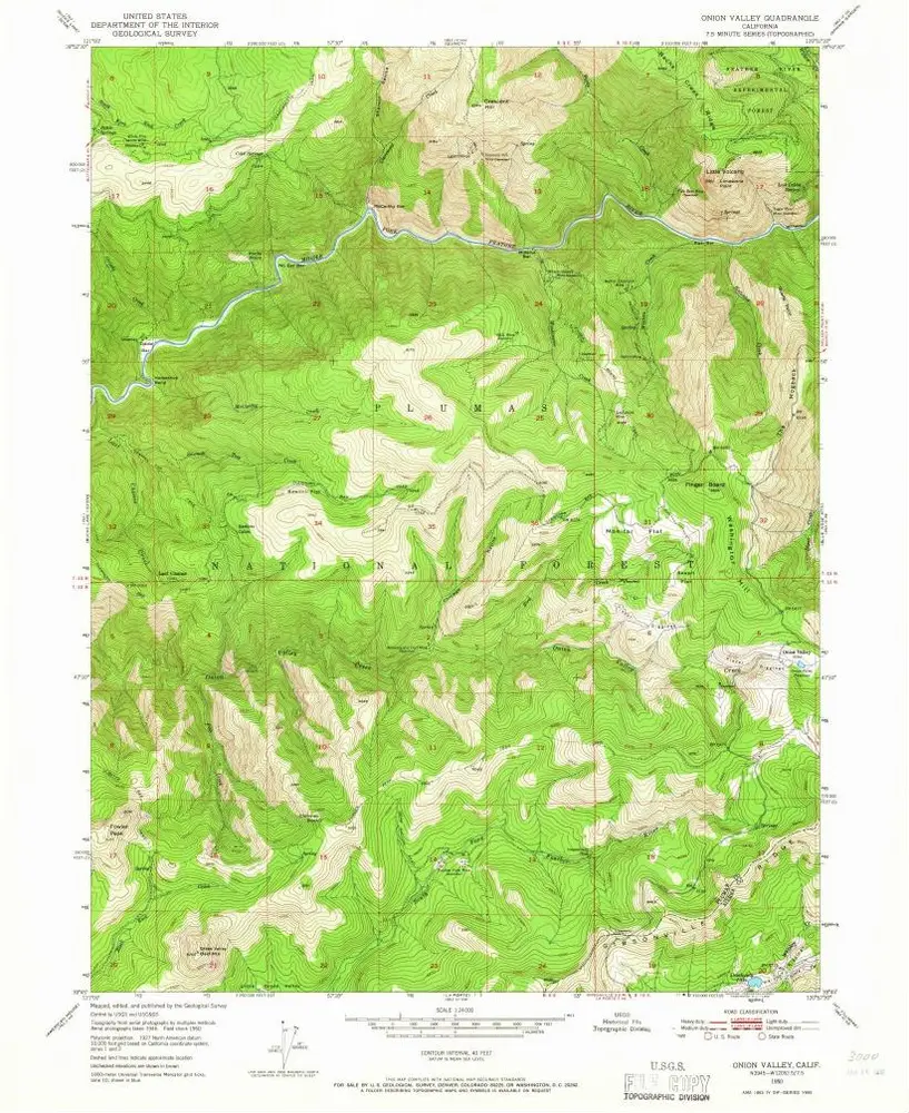
Onion Valley
1950
1:24k
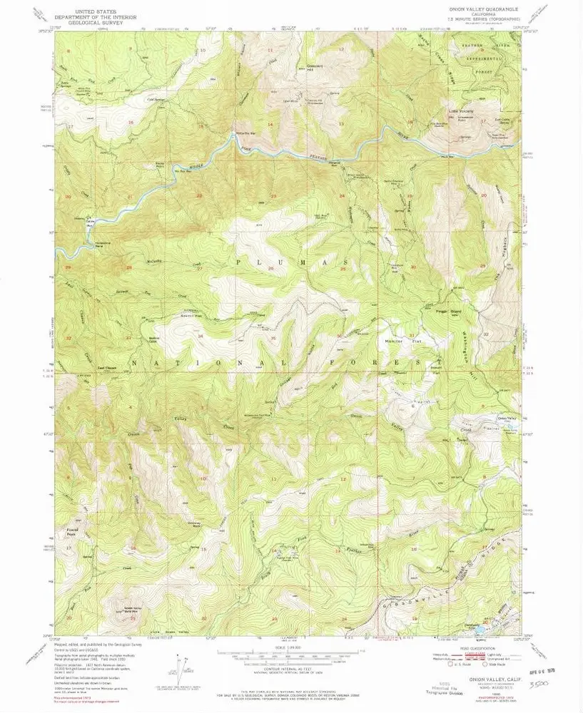
Onion Valley
1950
1:24k
Geschichte