Project
Community
News
My App
My maps
Katalogisierte Karte
Brush Lake
View on external website
View digitized
Einrichtung:
United States Geological Survey
Vollständiger Titel:
Brush Lake
Jahr der Abbildung:
1969
Veröffentlichungsdatum:
1986
Maßstab der Karte:
1:24 000
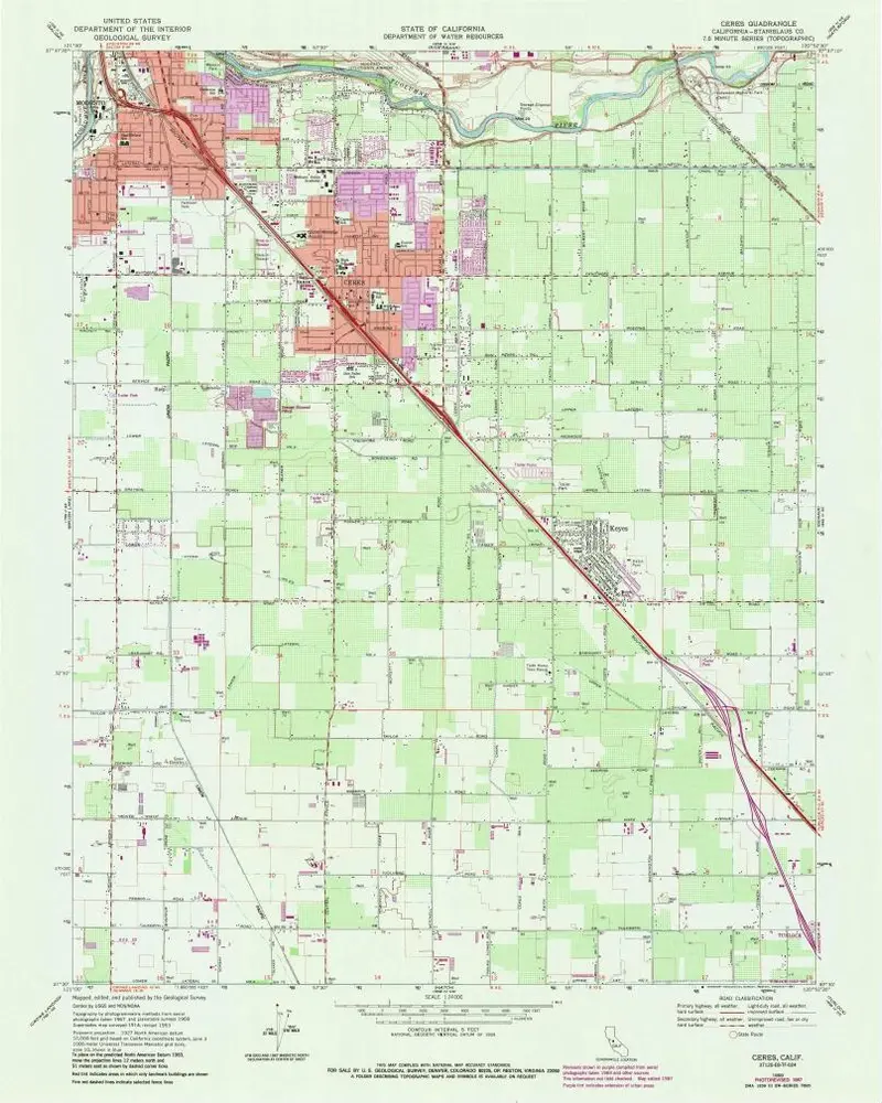
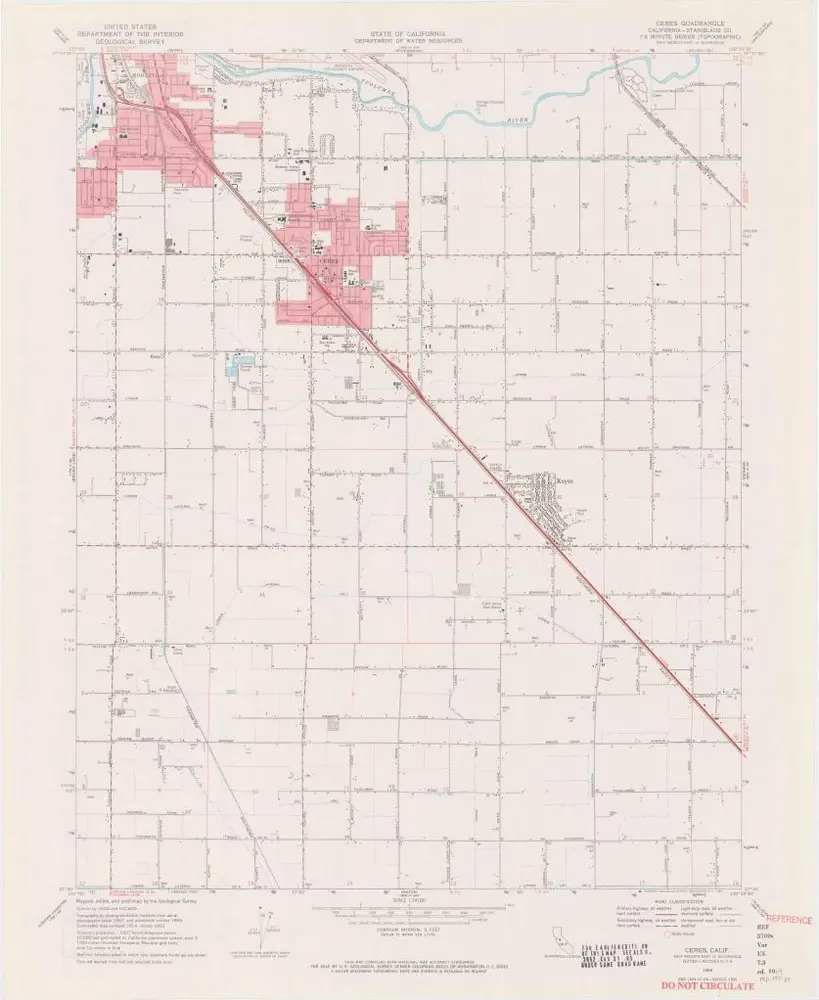
Ceres
1969
1:24k
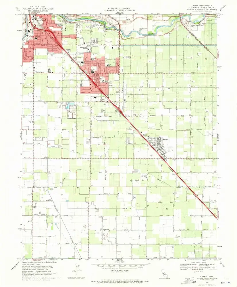
Ceres
1969
1:24k
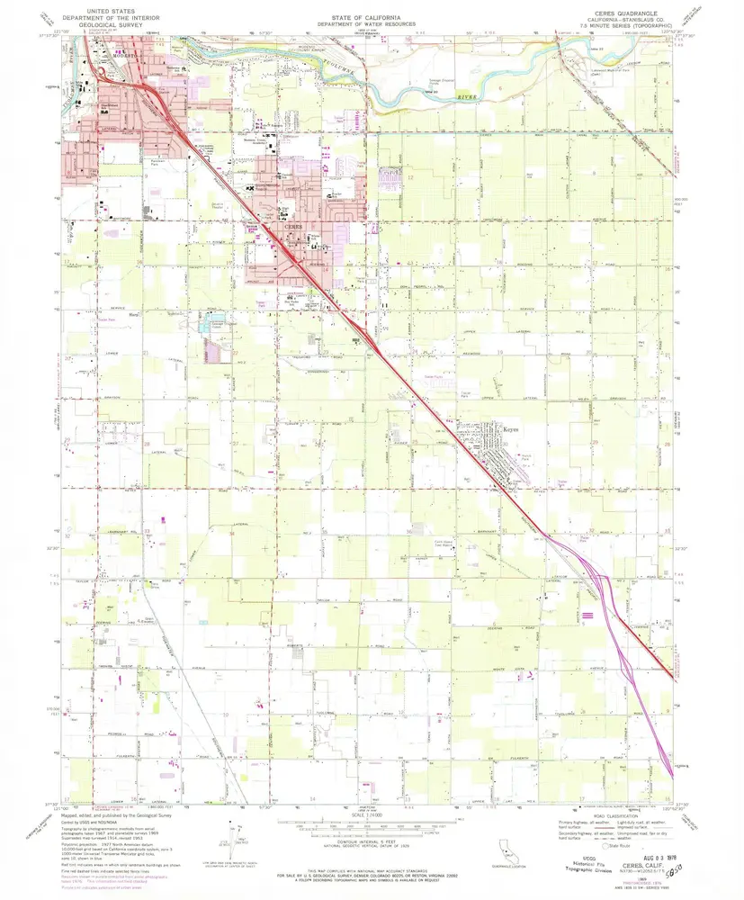
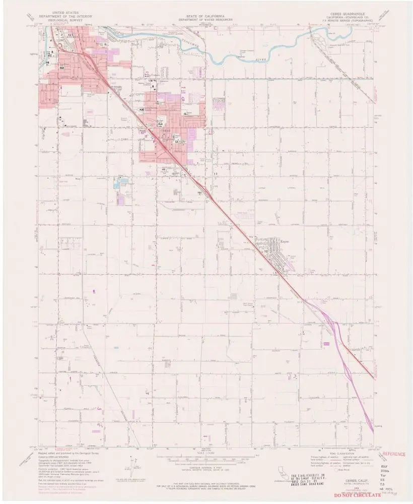
Ceres
1969
1:24k
Ceres
1969
1:24k
Ceres
1969
1:24k
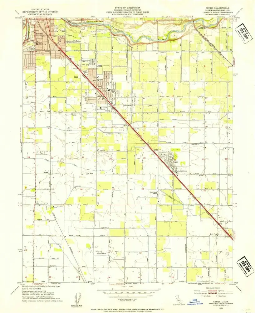
Ceres
1953
1:24k
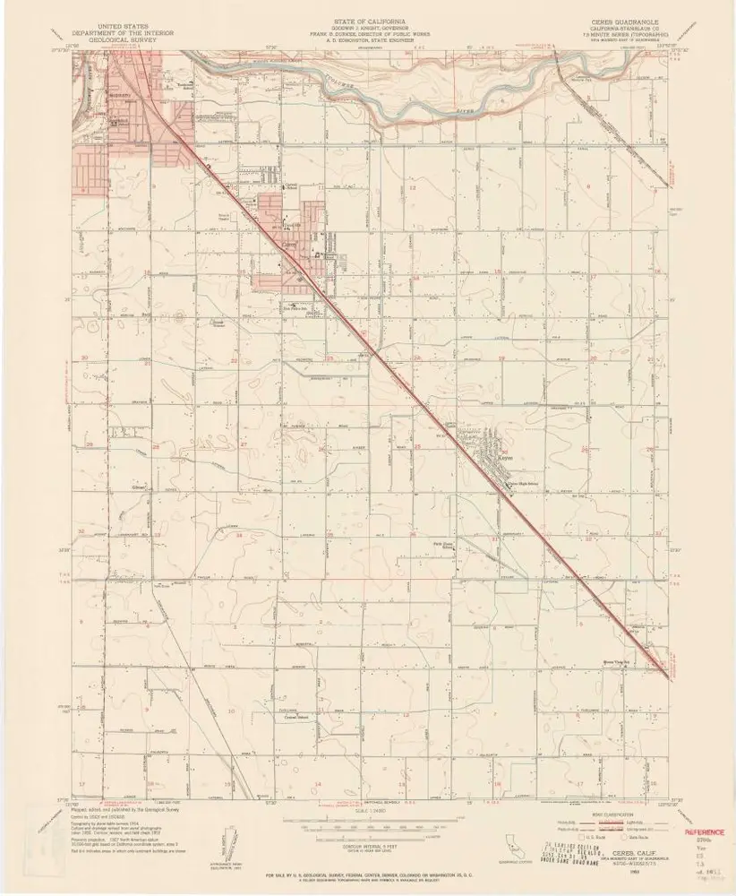
Ceres
1953
1:24k
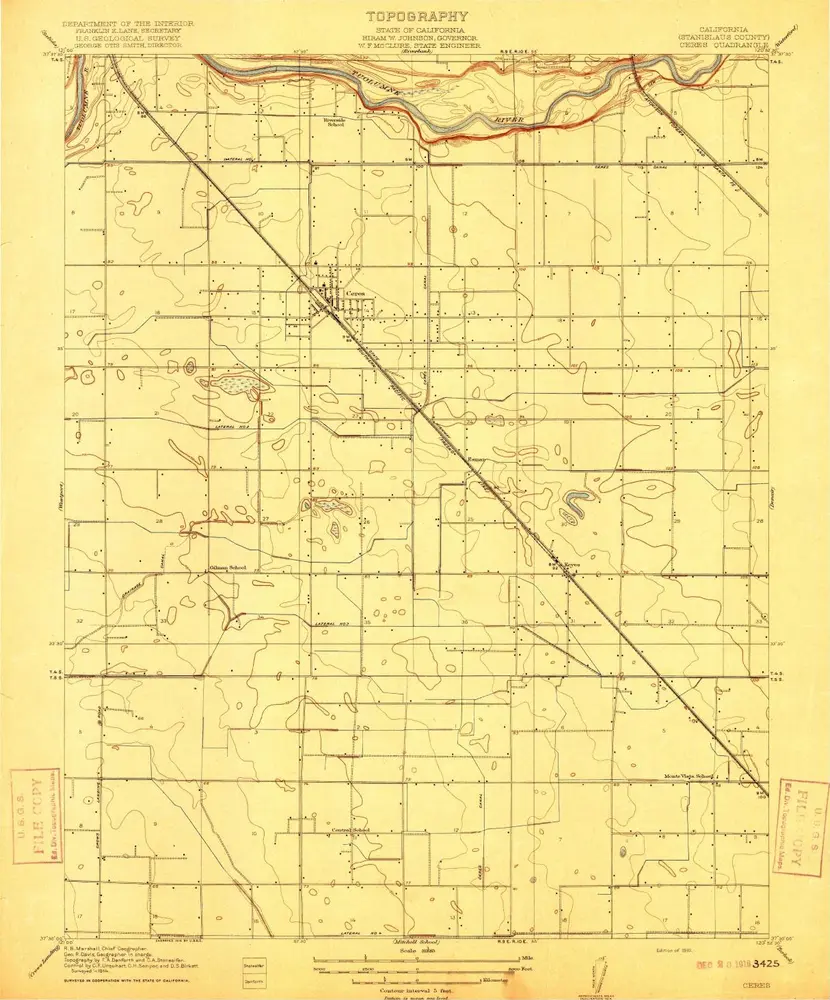
Ceres
1916
1:32k
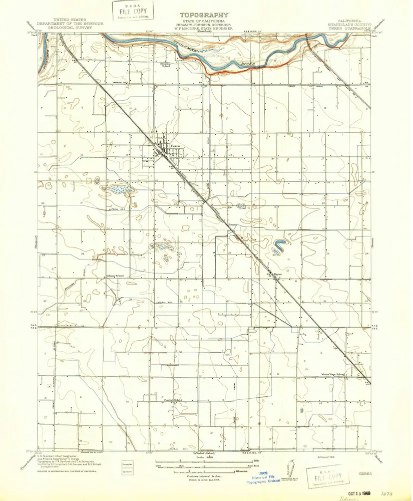
Ceres
1916
1:32k
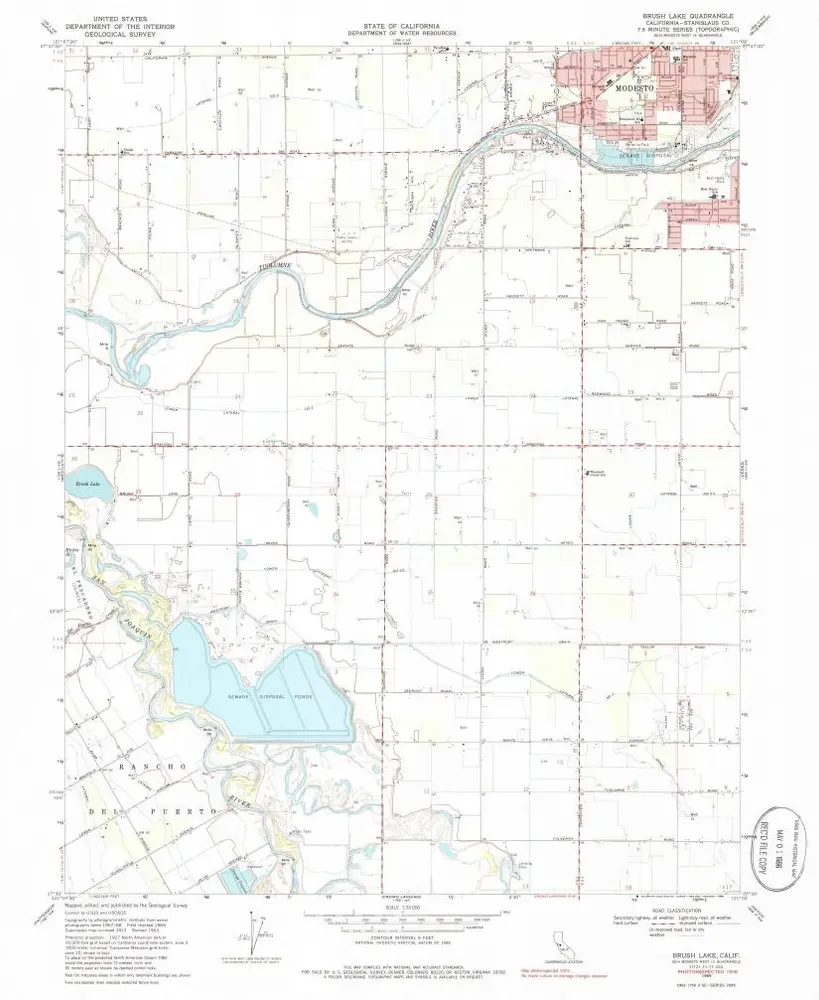
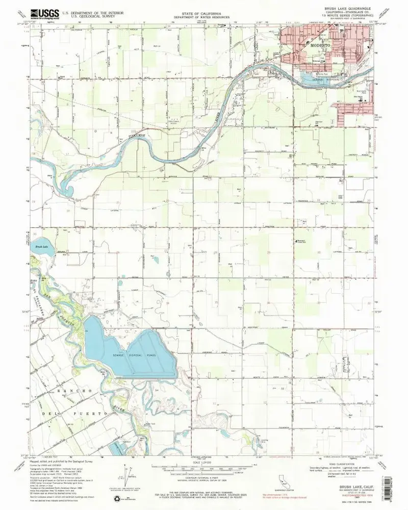
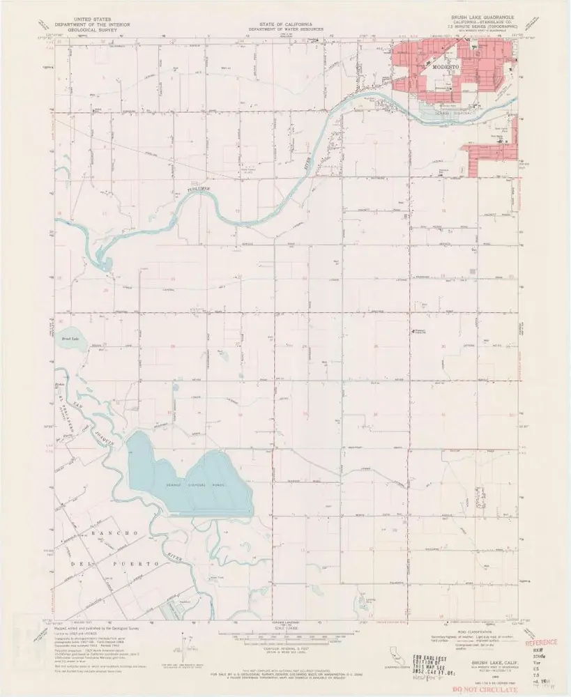
Brush Lake
1969
1:24k
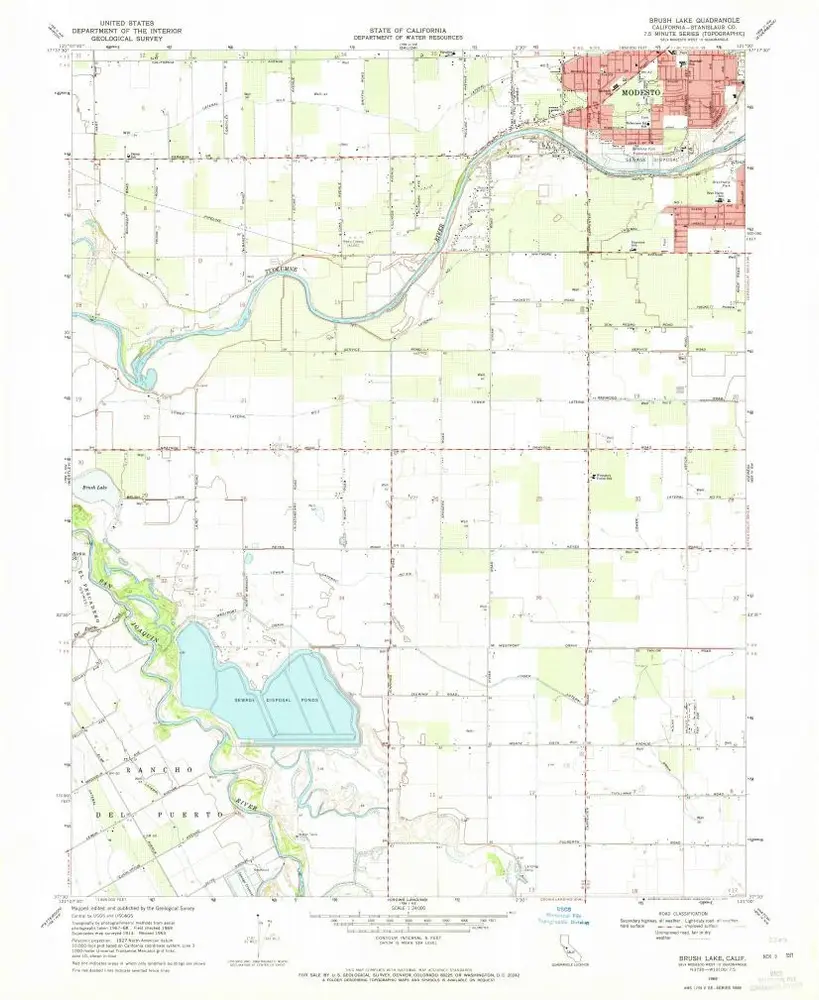
Brush Lake
1969
1:24k
Brush Lake
1969
1:24k
Brush Lake
1969
1:24k
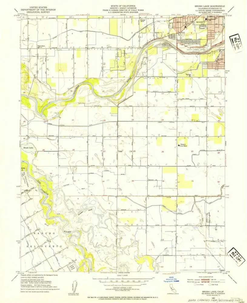
Brush Lake
1953
1:24k
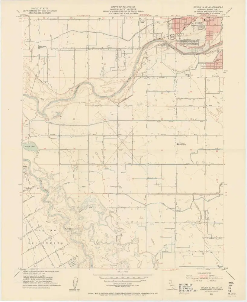
Brush Lake
1953
1:24k
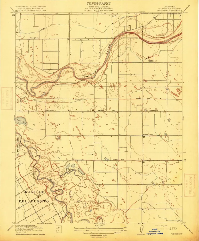
Westport
1915
1:32k
Geschichte