Katalogisierte Karte
Moravia

Einrichtung:United States Geological Survey
Vollständiger Titel:Moravia
Jahr der Abbildung:1943
Veröffentlichungsdatum:1961
Maßstab der Karte:1:24 000
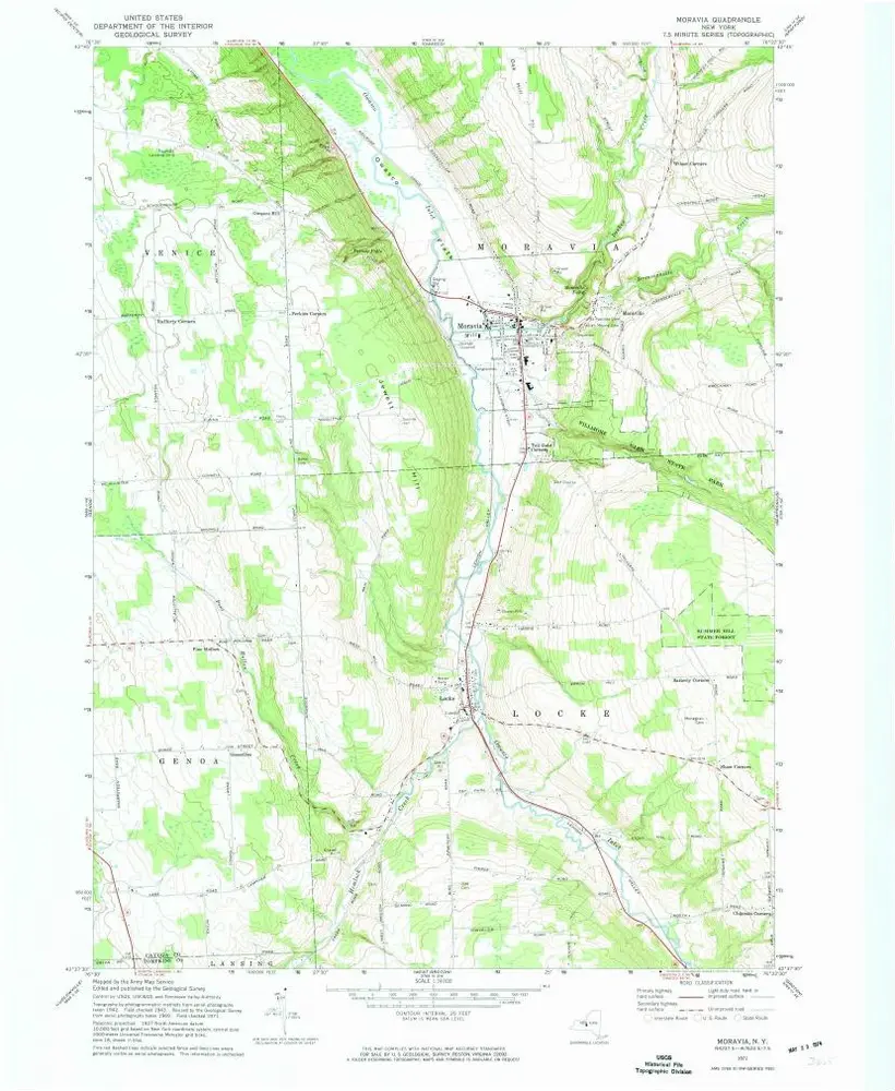
Moravia
1971
1:24k
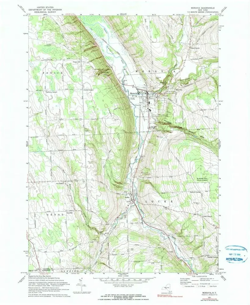
Moravia
1971
1:24k
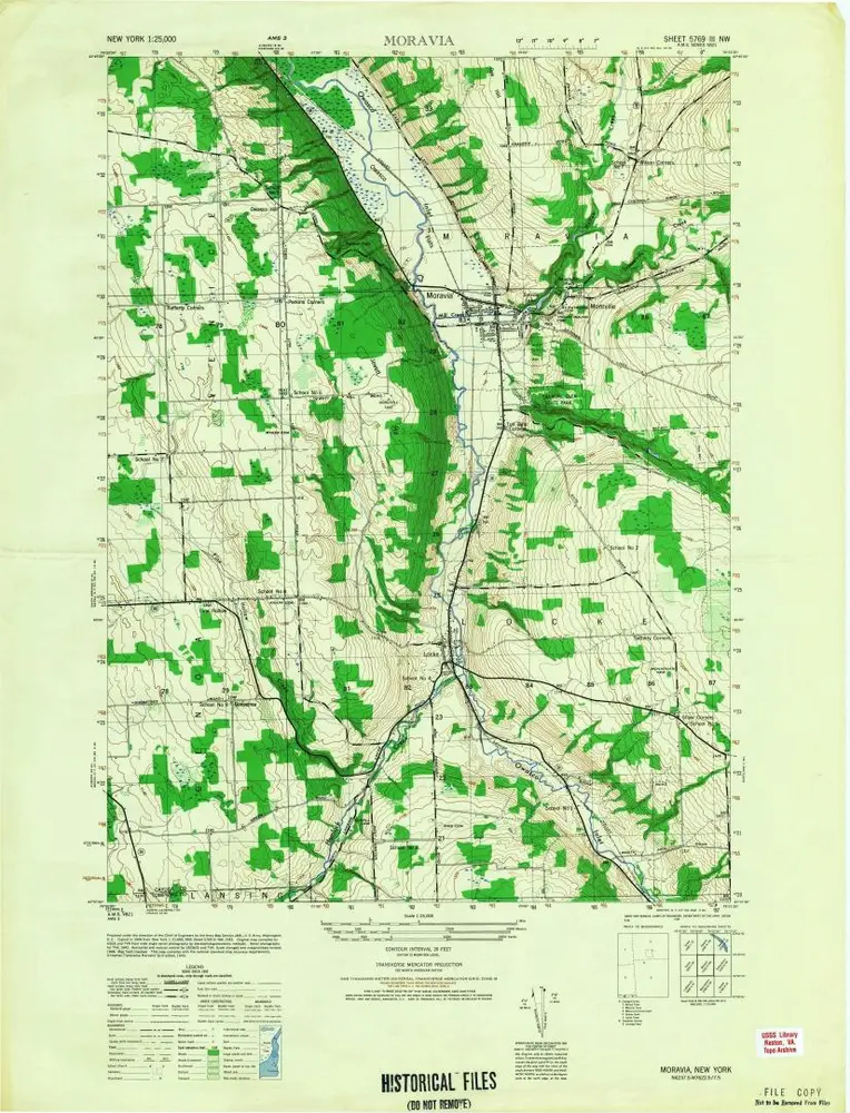
Moravia
1949
1:25k
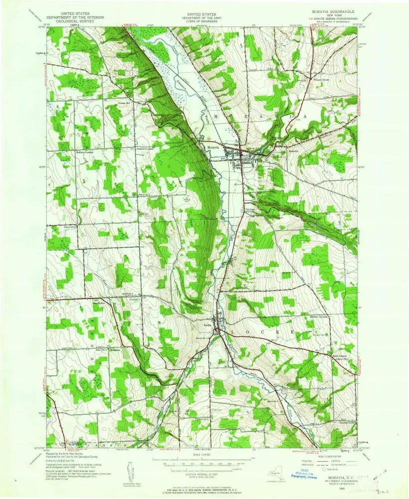
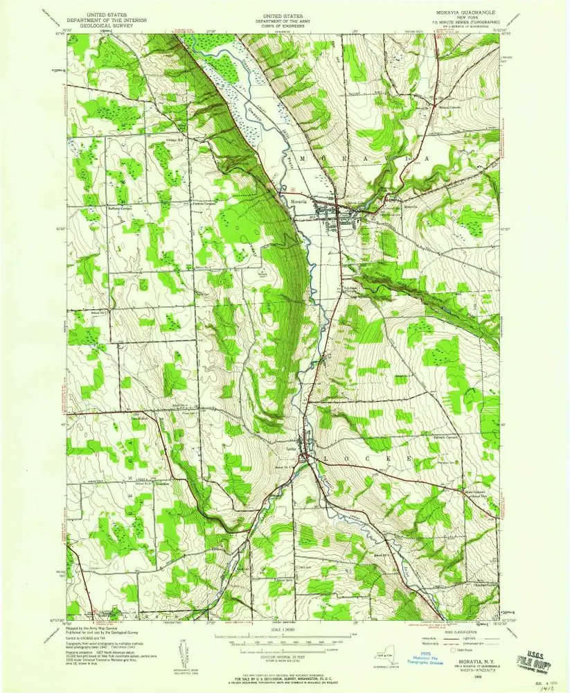
Moravia
1943
1:24k
Moravia
1943
1:24k
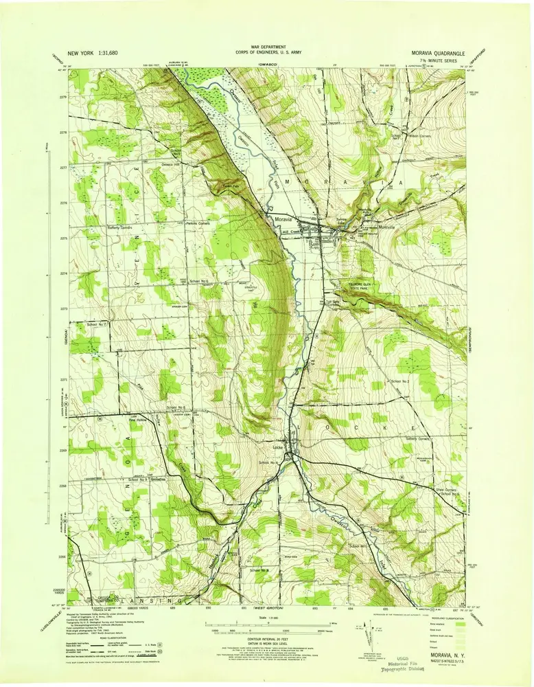
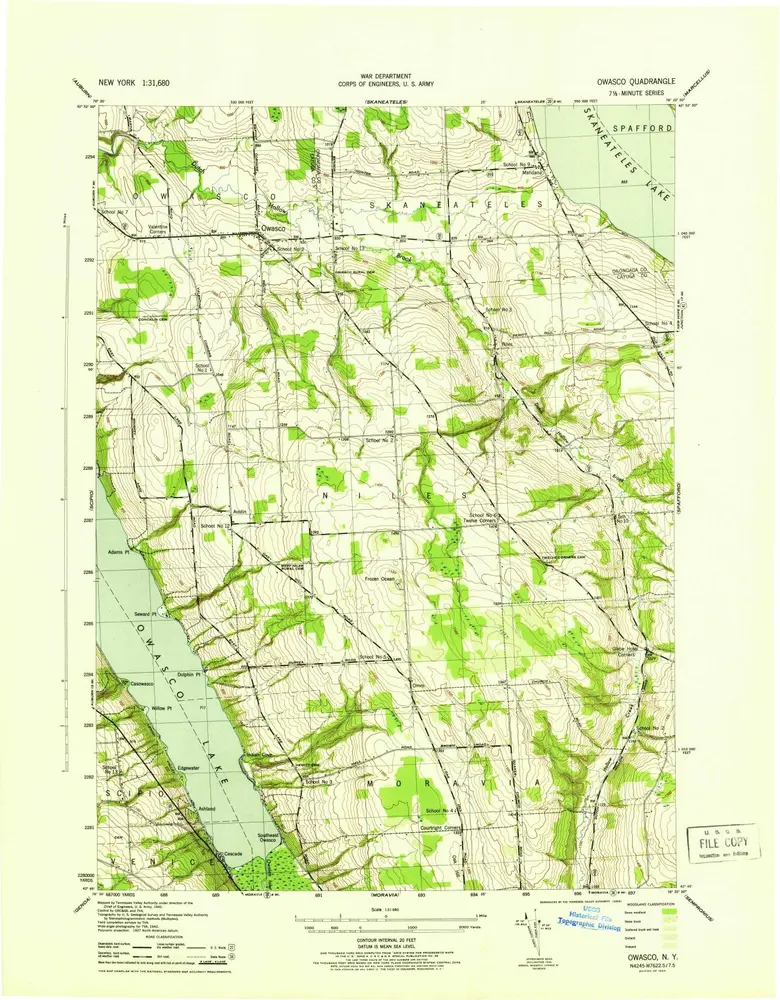
Moravia
1943
1:32k

Niles [Township]; Newhope [Village]; Nine Corners [Village]; Pennyville [Village]; Twelve Corners [Village]; Kelloggsville P.O. [Village]
1875
Owasco
1955
1:24k
Owasco
1955
1:24k
Owasco
1955
1:24k
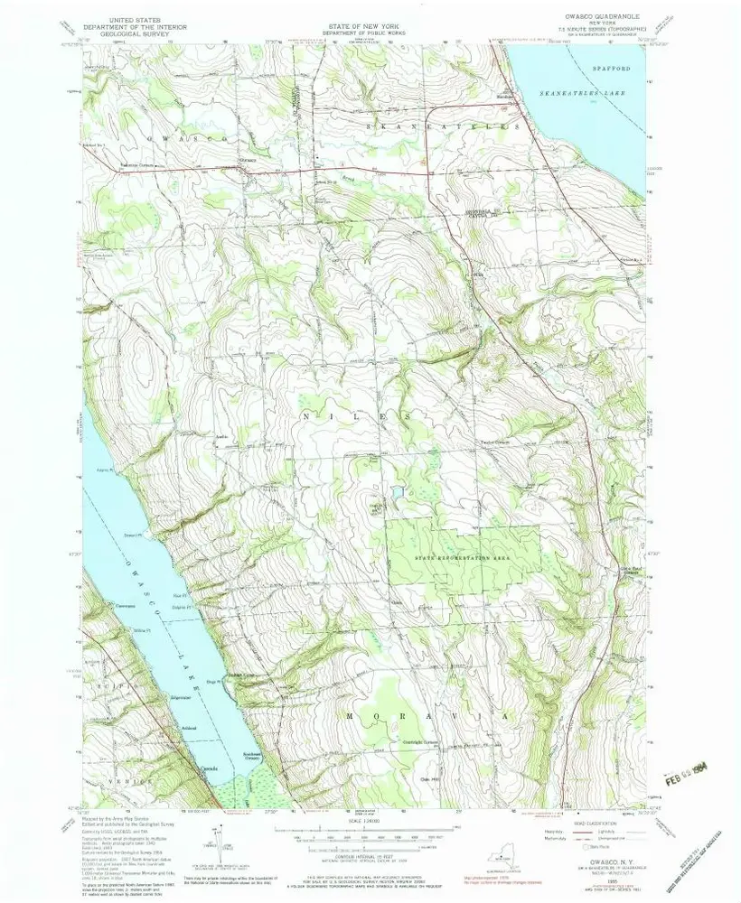
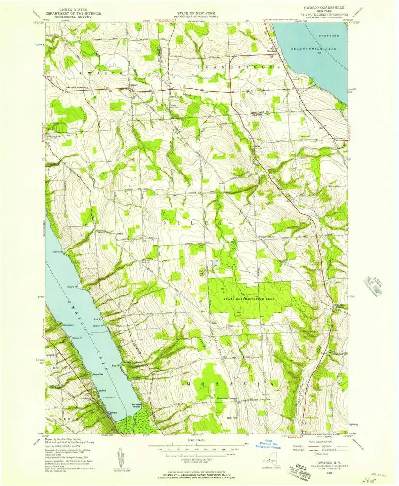
Owasco
1943
1:24k
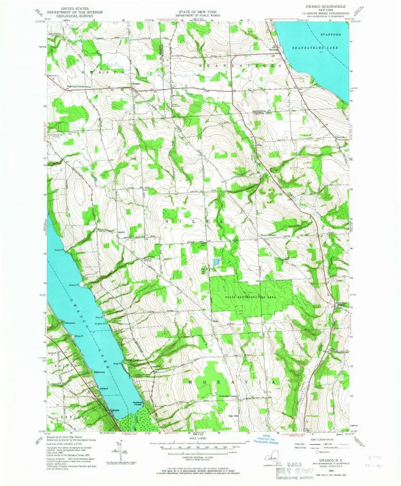
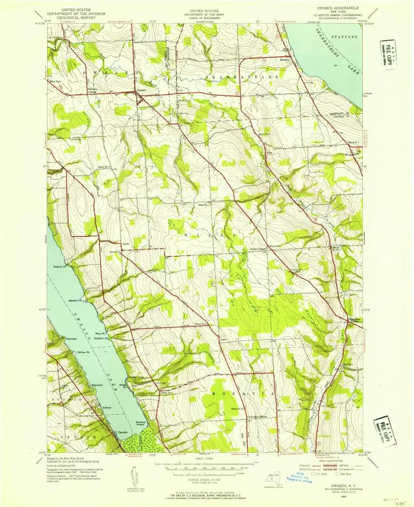
Owasco
1943
1:32k