Project
Community
News
My App
My maps
Carte cataloguée
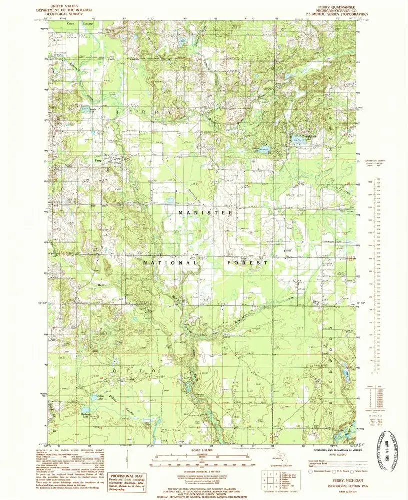
Ferry
View on external website
Institution:
United States Geological Survey
Titre complet:
Ferry
Année de l'image:
1985
Date de publication:
1985
Échelle de la carte:
1:24 000
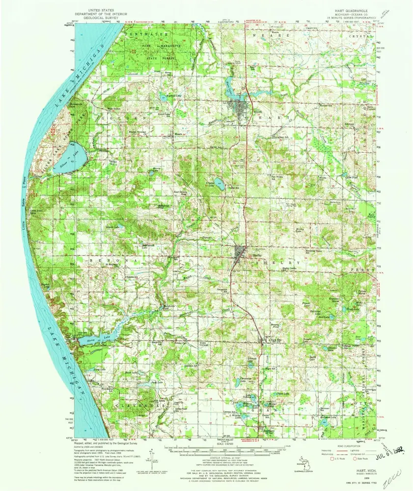
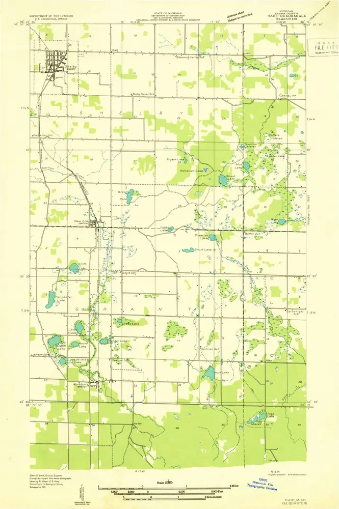
Hart
1959
1:63k
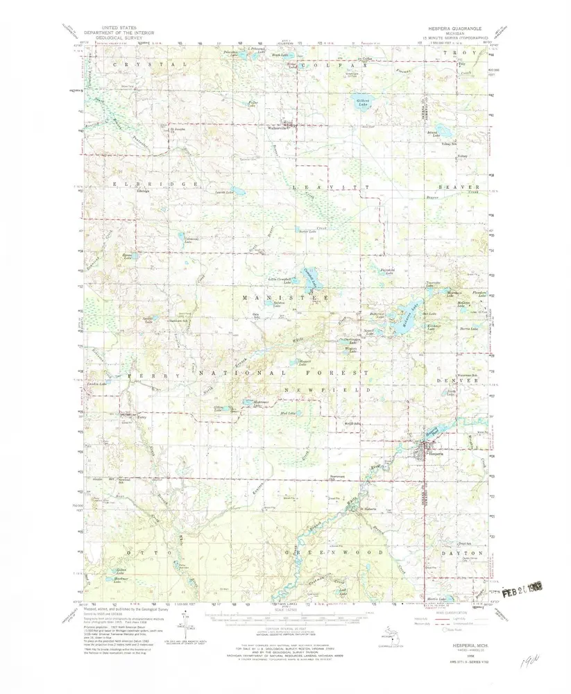
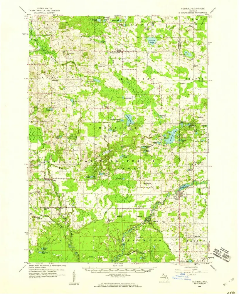
Hesperia
1958
1:63k
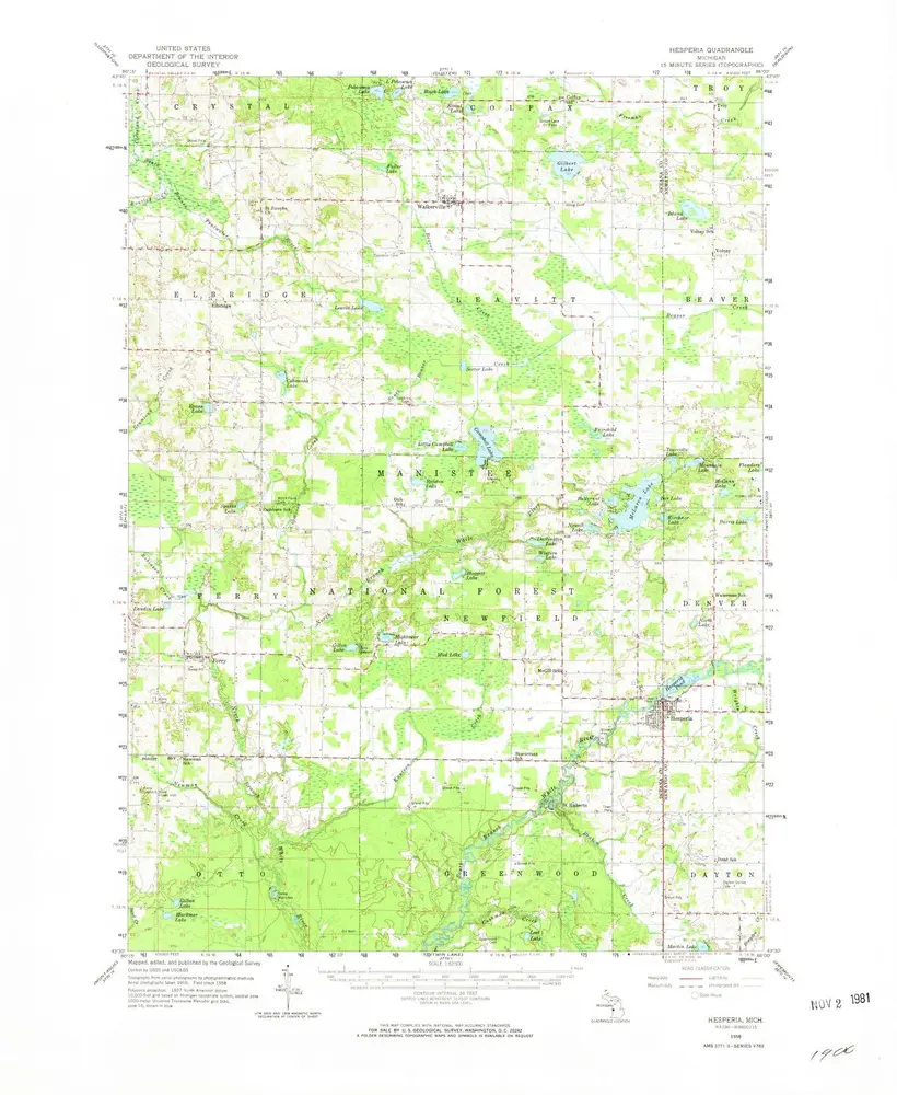
Hesperia
1958
1:63k
Hesperia
1958
1:63k
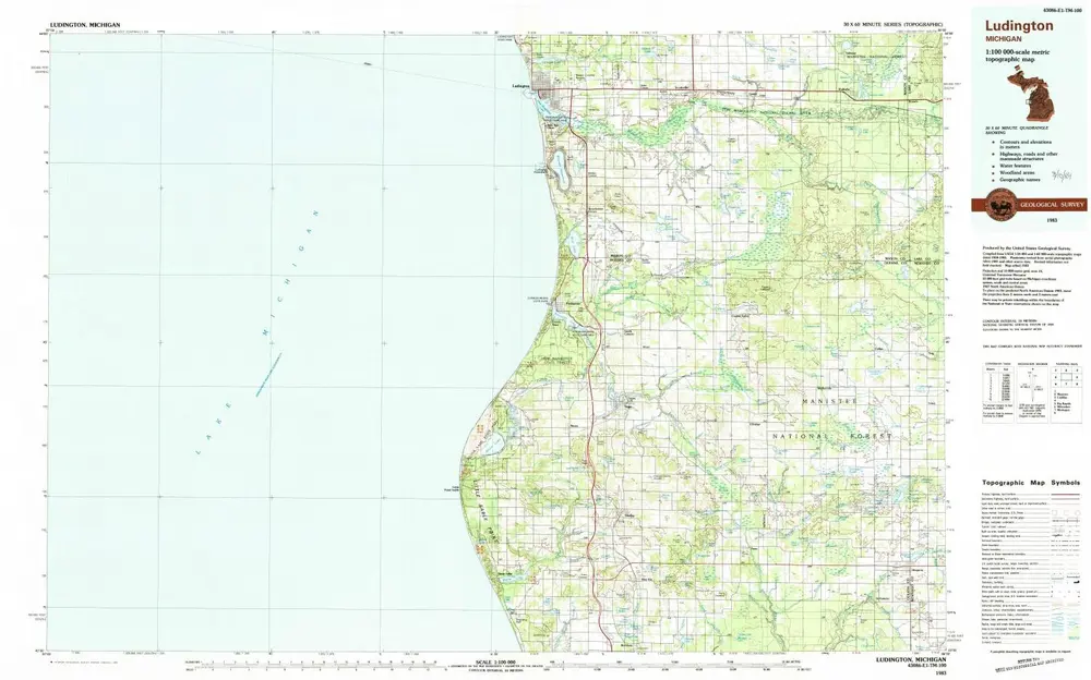
Ludington
1983
1:100k
Ferry
1985
1:24k
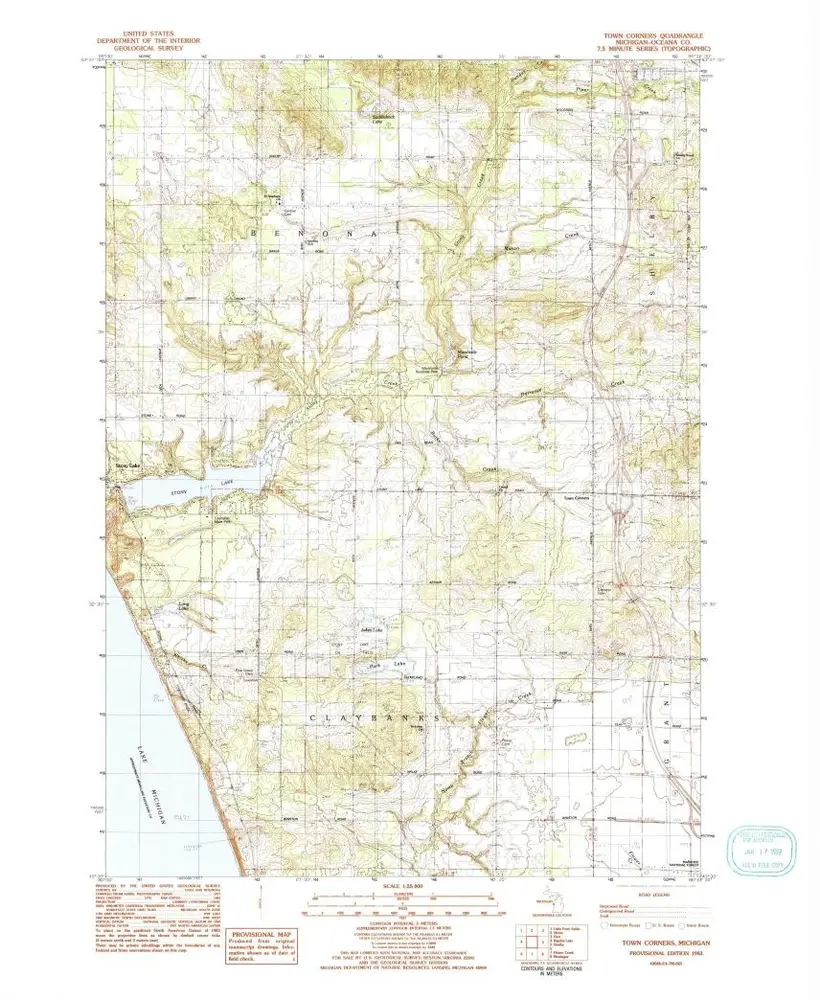
Town Corners
1983
1:24k
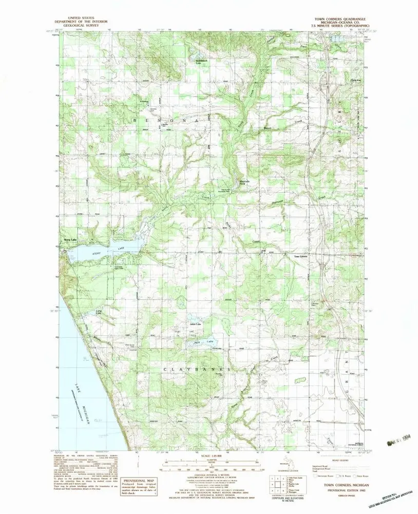
Town Corners
1983
1:25k
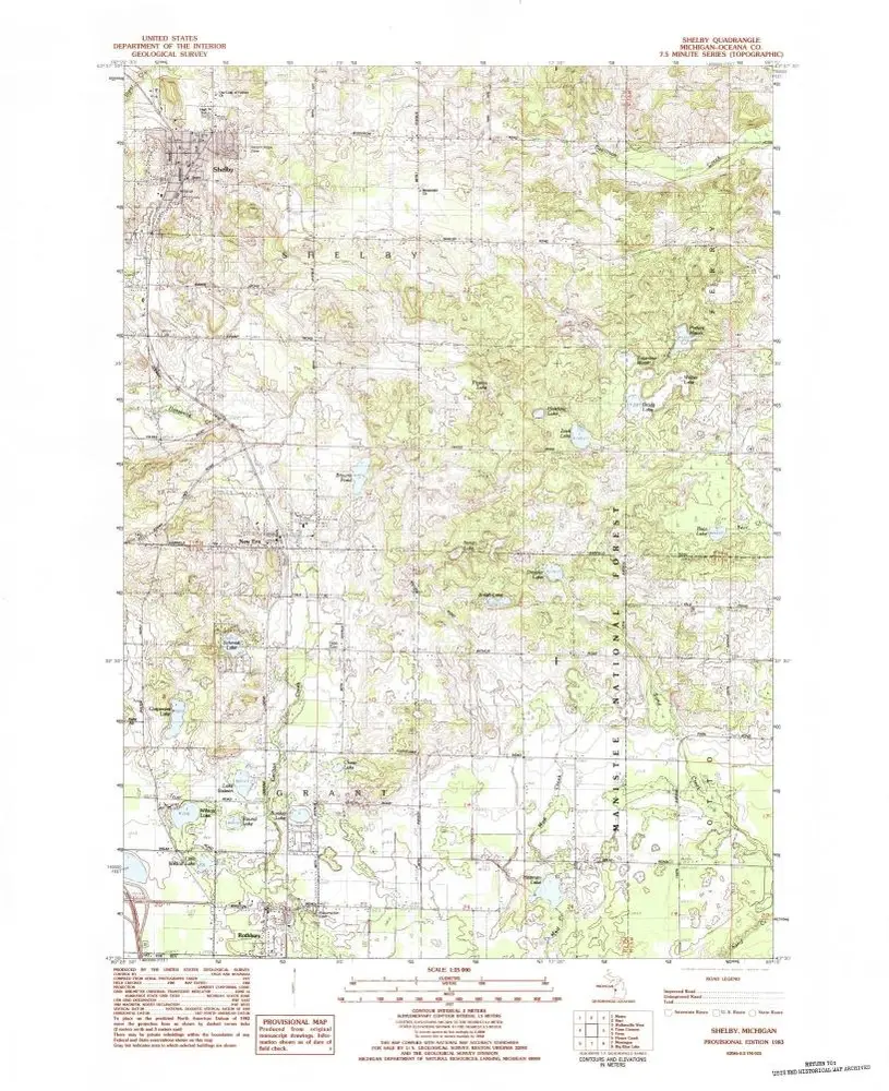
Shelby
1983
1:25k
Hart SE
1931
1:32k
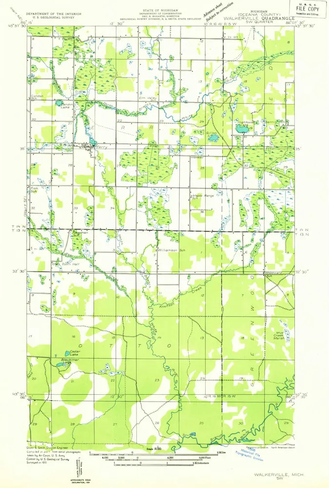
Walkerville SW
1931
1:32k
L'histoire