Katalogisierte Karte
Camp Peay

Einrichtung:United States Geological Survey
Vollständiger Titel:Camp Peay
Jahr der Abbildung:1936
Maßstab der Karte:1:24 000
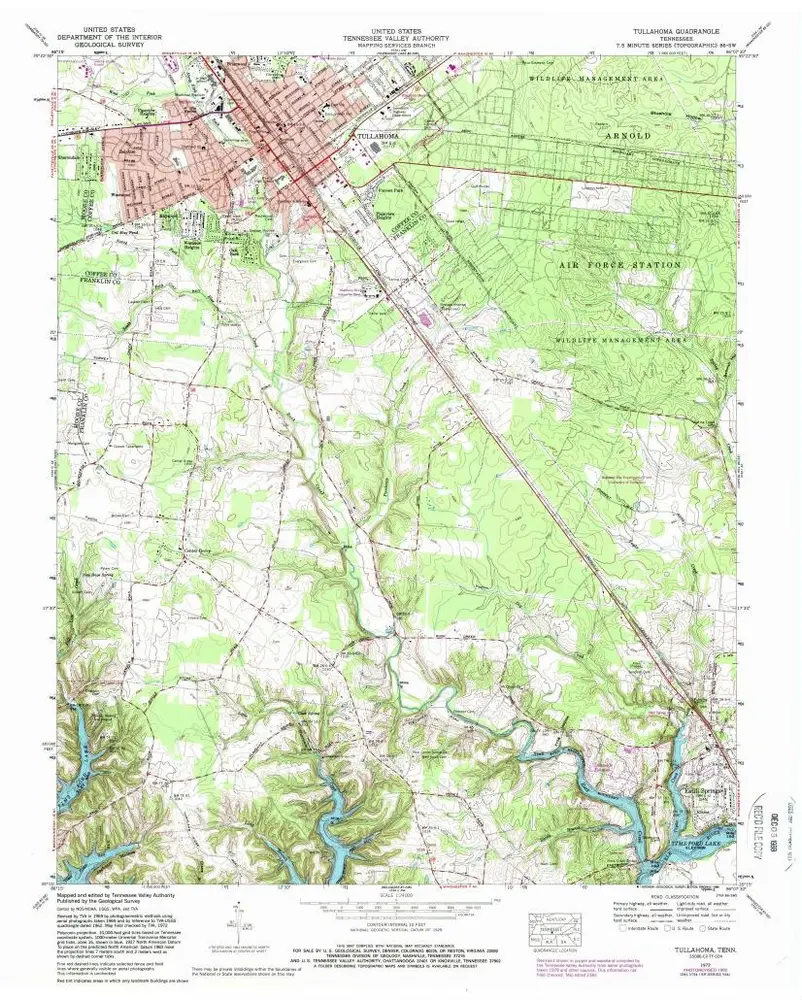
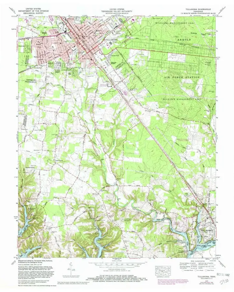
Tullahoma
1972
1:24k
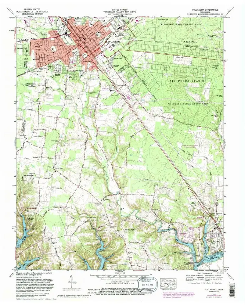
Tullahoma
1972
1:24k
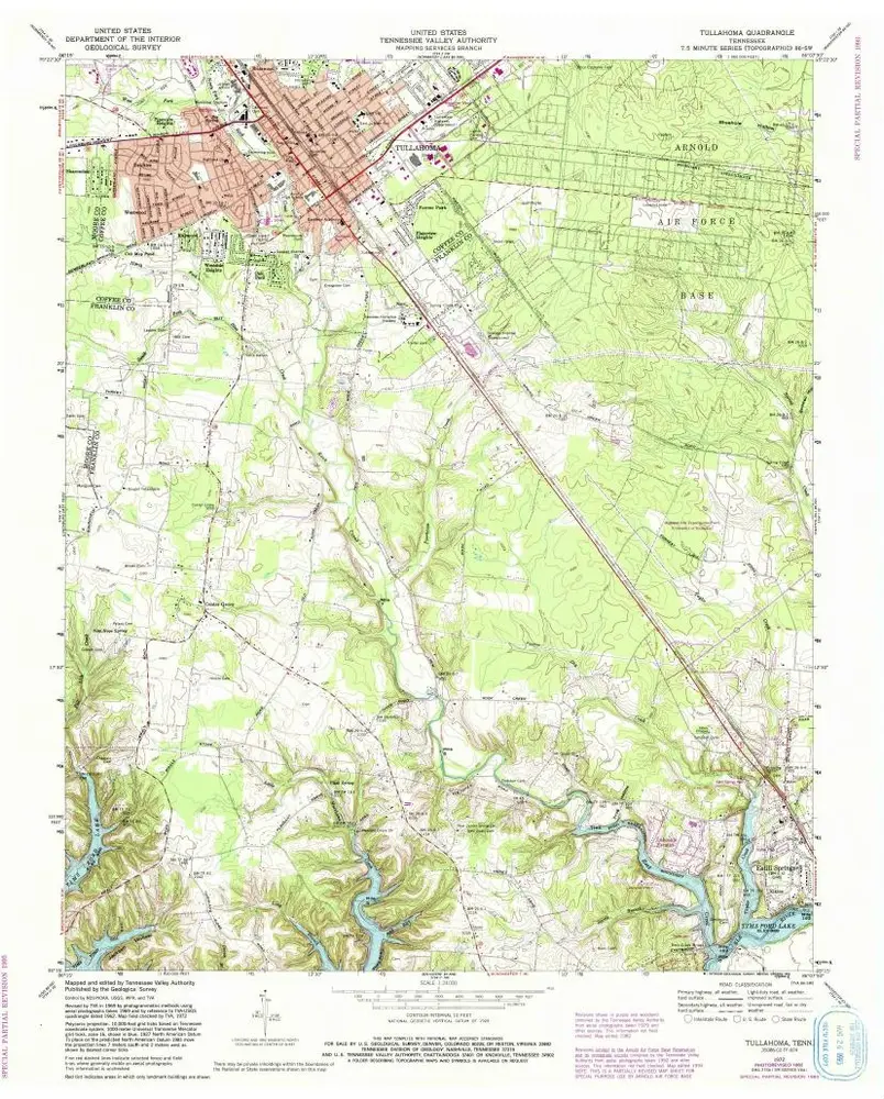
Tullahoma
1972
1:24k
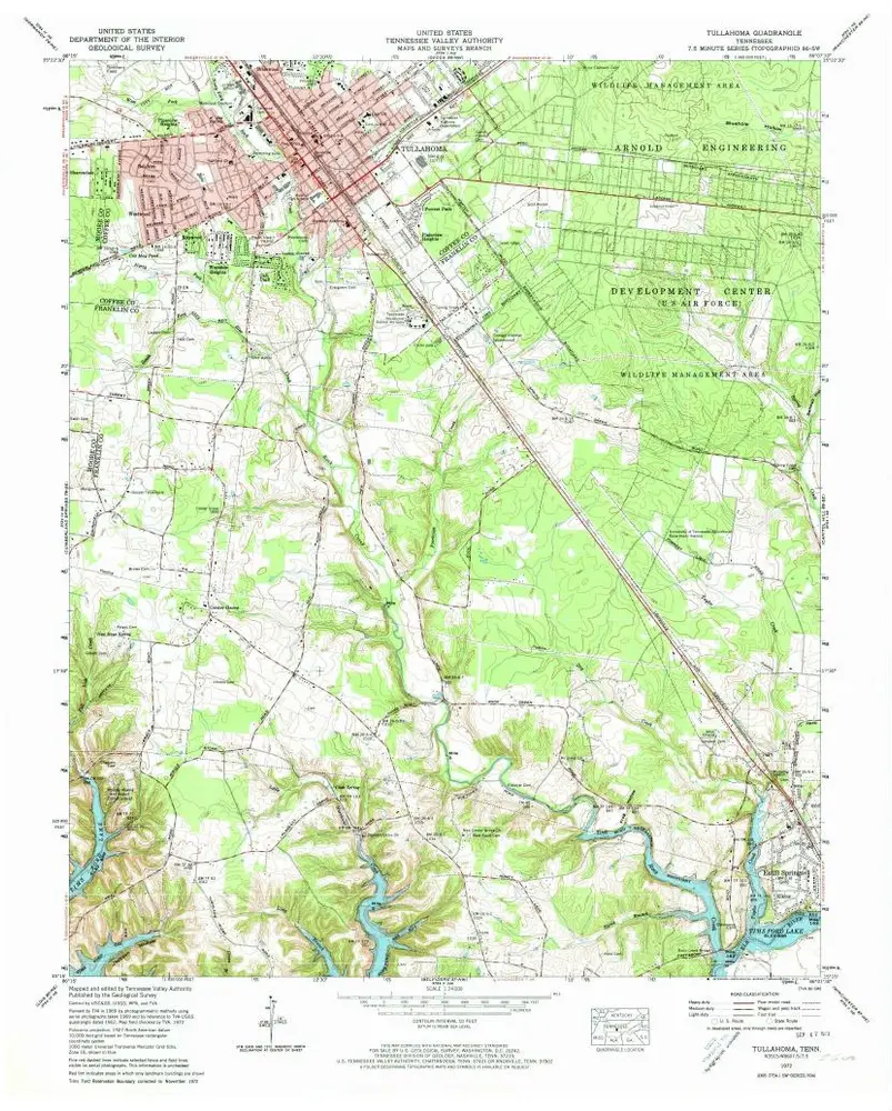
Tullahoma
1972
1:24k
Tullahoma
1972
1:24k
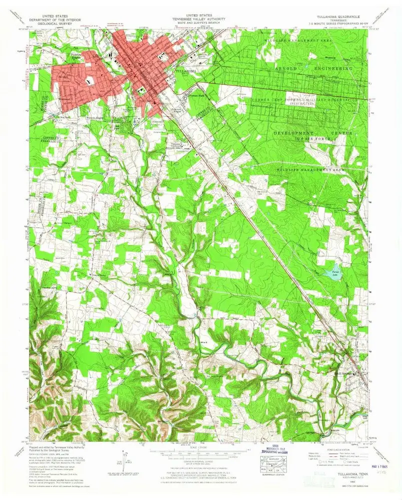
Tullahoma
1962
1:24k
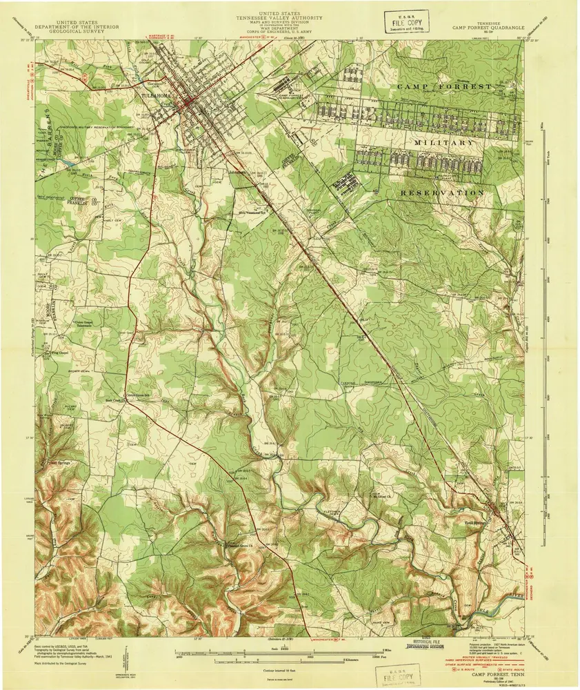
Camp Forrest
1941
1:24k
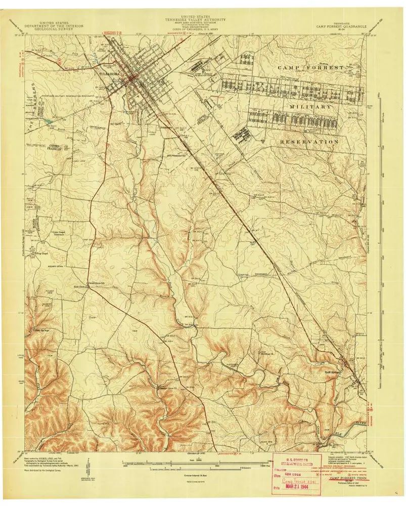
Camp Forrest
1941
1:24k
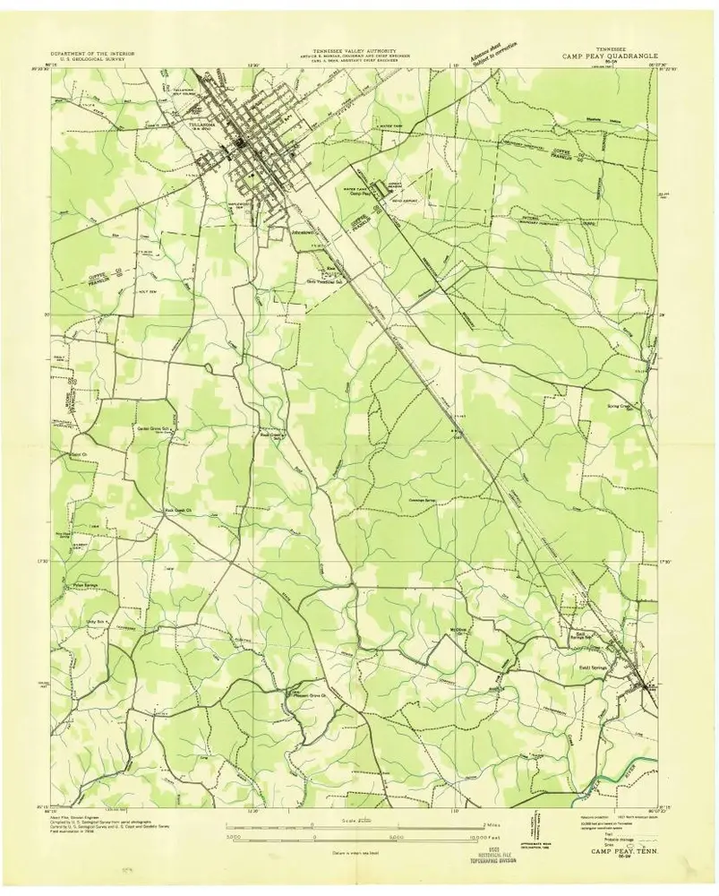
Camp Peay
1936
1:24k
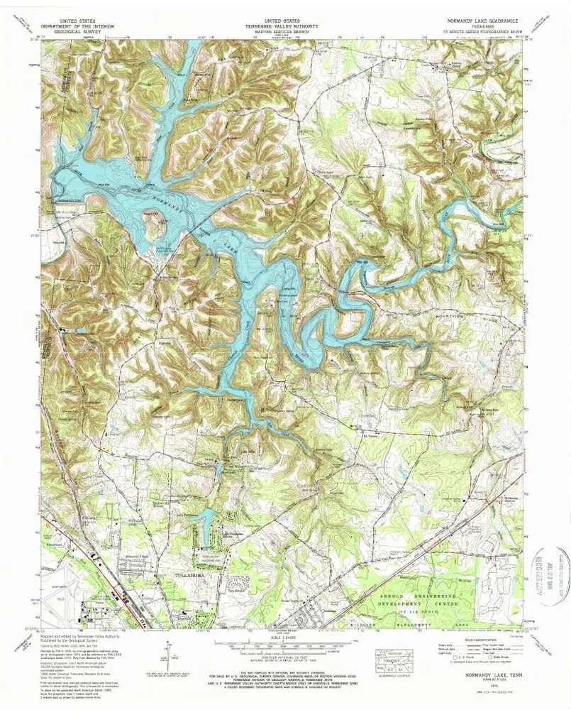
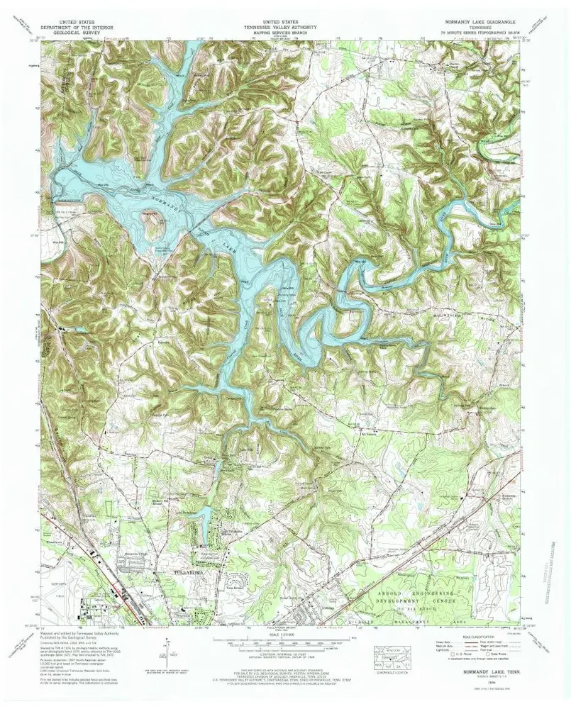
Normandy Lake
1976
1:24k
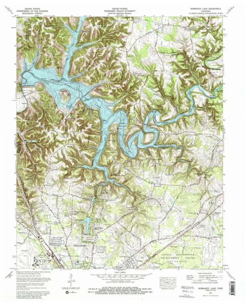
Normandy Lake
1976
1:24k
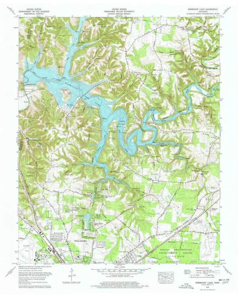
Normandy Lake
1976
1:24k
Normandy Lake
1976
1:24k
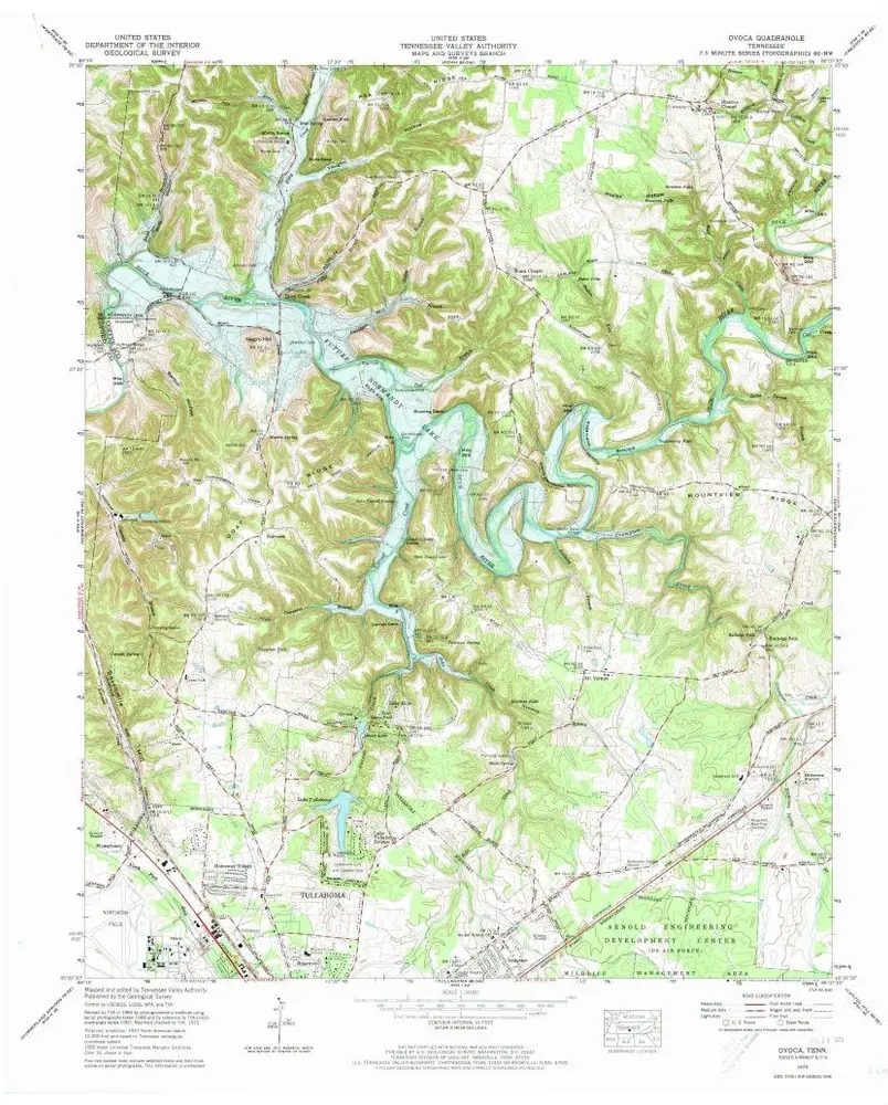
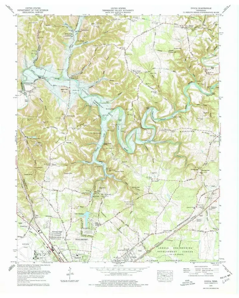
Ovoca
1972
1:24k
Ovoca
1972
1:24k
Ovoca
1962
1:24k
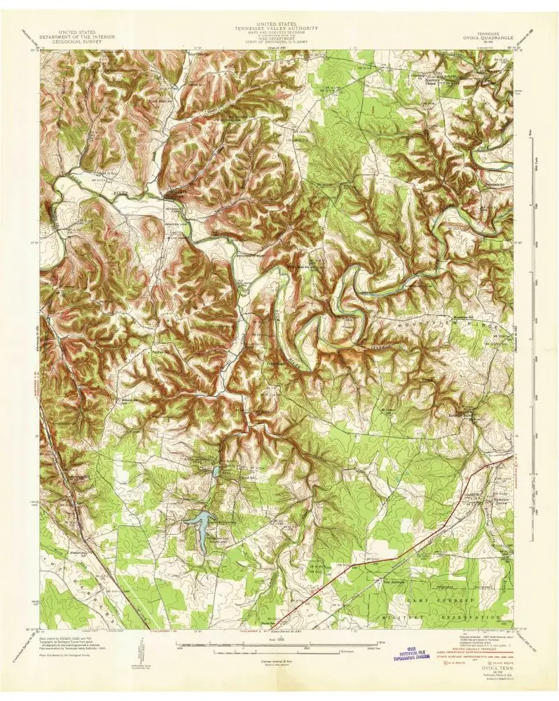
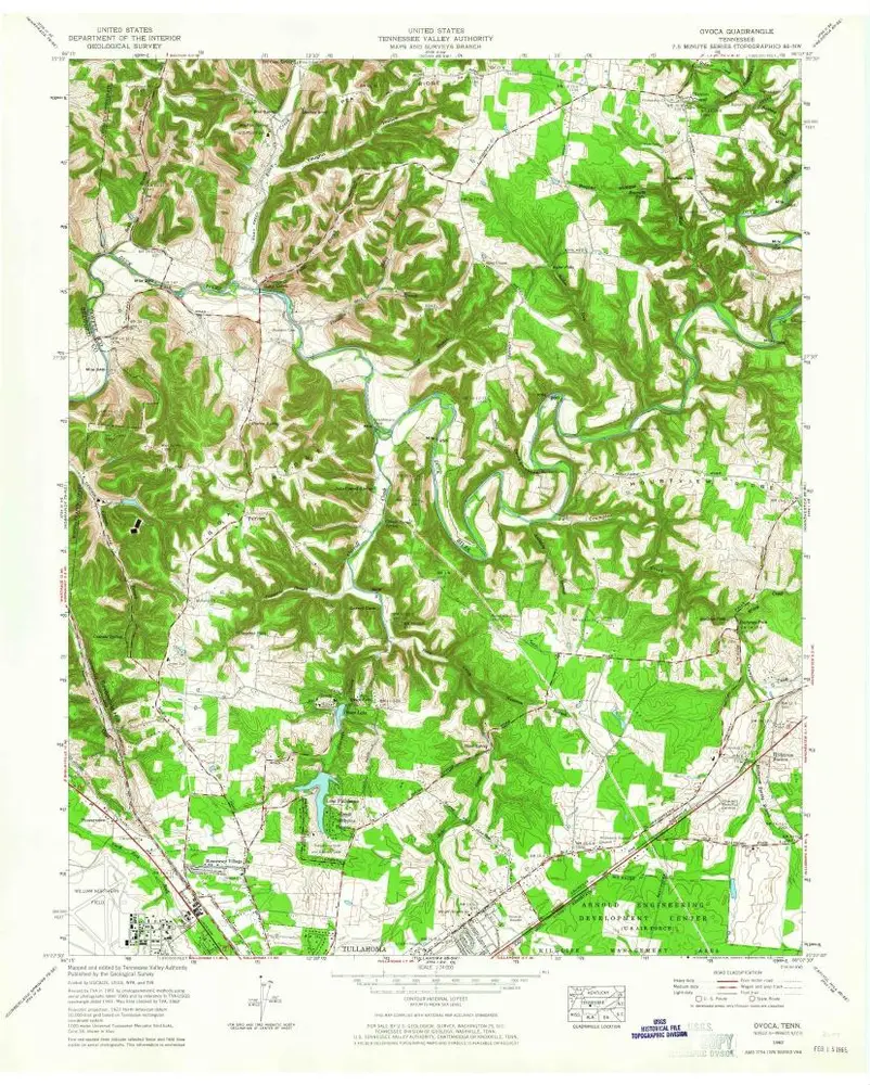
Ovoca
1941
1:24k
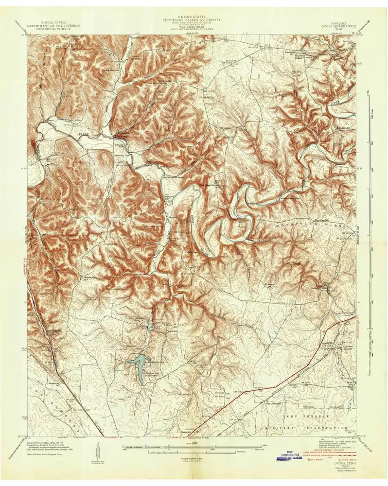
Ovoca
1941
1:24k
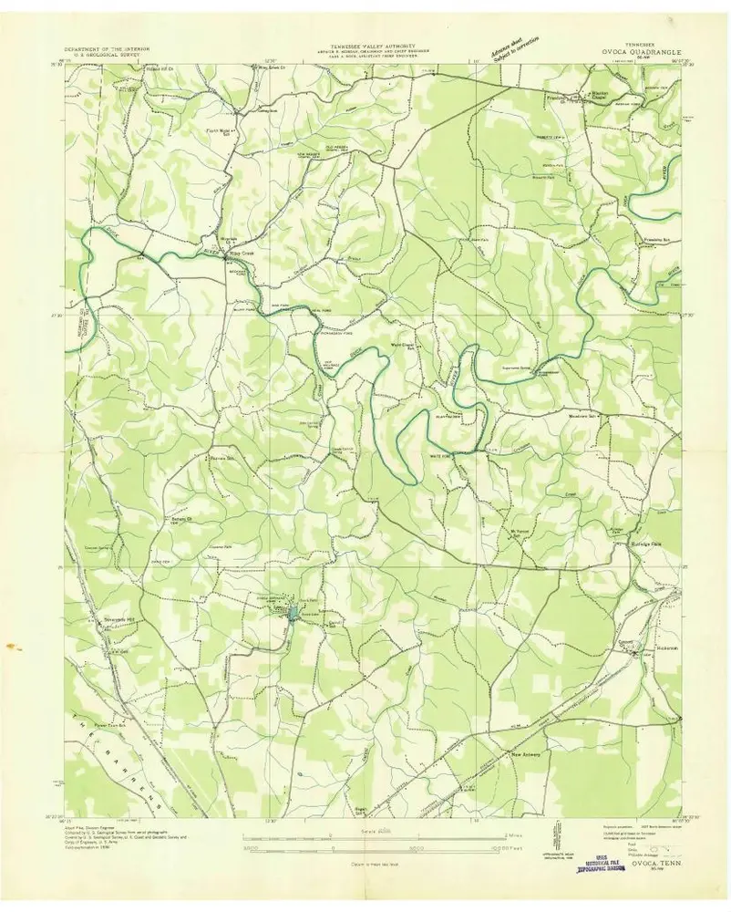
Ovoca
1936
1:24k