Project
Community
News
My App
My maps
خريطة مفهرسة
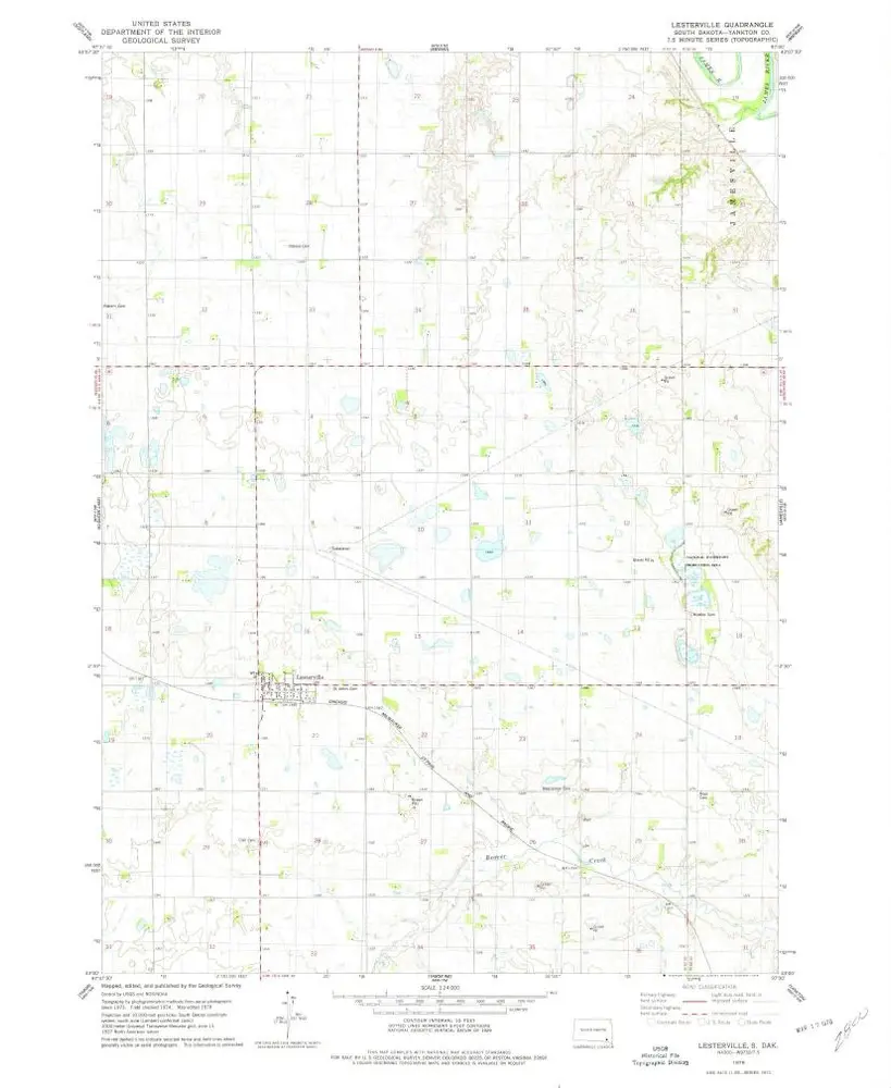
Lesterville
View on external website
العنوان الكامل:
Lesterville
مصورة:
1978
تاريخ النشر:
1979
مقياس الخريطة:
1:24 000
Lesterville
1978
1:24k
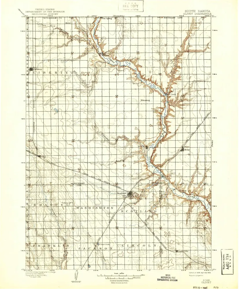
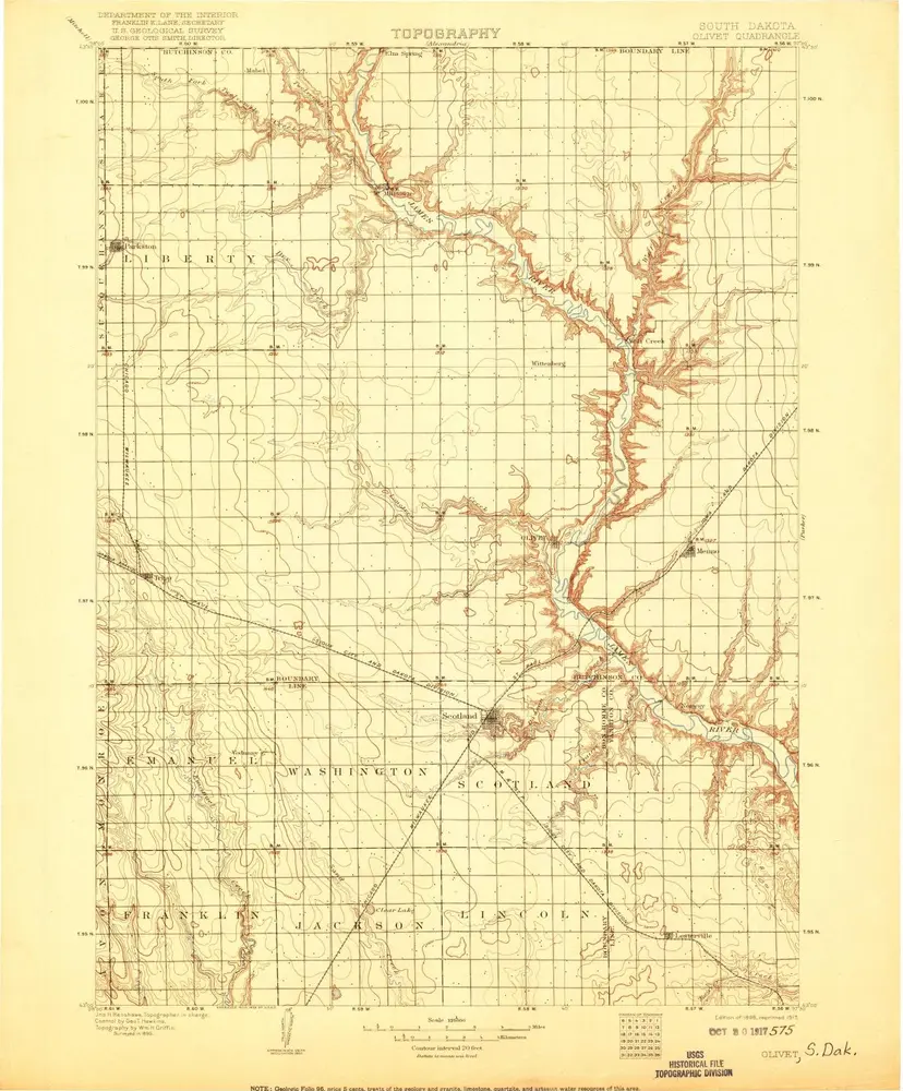
Olivet
1898
1:125k
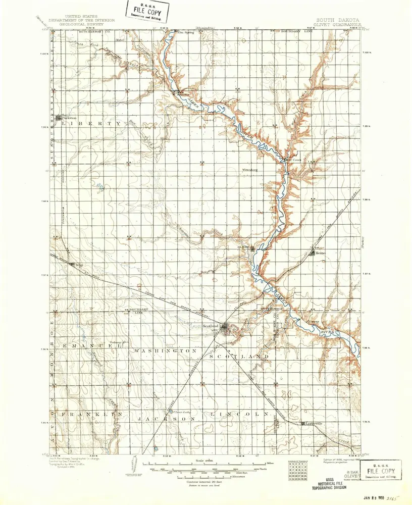
Olivet
1898
1:125k
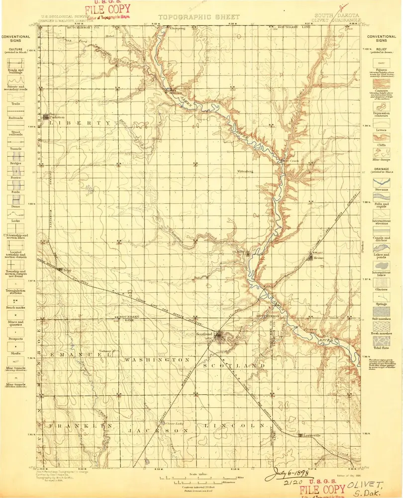
Olivet
1898
1:125k
Olivet
1898
1:125k
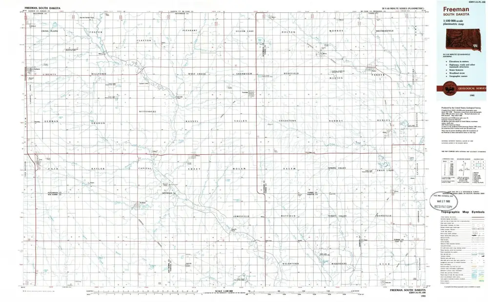
Freeman
1985
1:100k
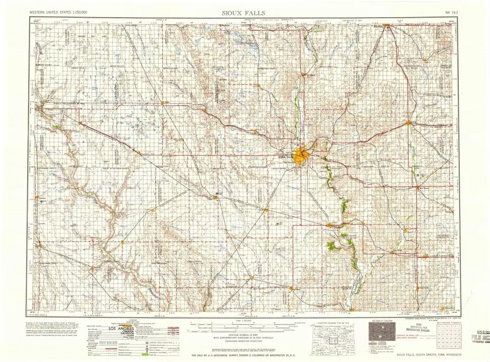
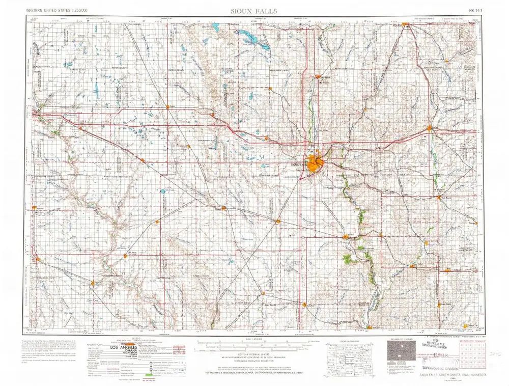
Sioux Falls
1958
1:250k
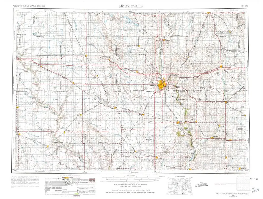
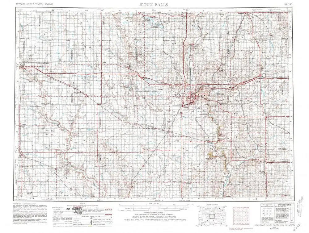
Sioux Falls
1955
1:250k
Sioux Falls
1955
1:250k
Sioux Falls
1955
1:250k
التاريخ