Project
Community
News
My App
My maps
Katalogisierte Karte
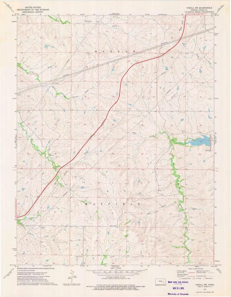
Thrall NW
View on external website
View digitized
Einrichtung:
United States Geological Survey
Vollständiger Titel:
Thrall NW
Jahr der Abbildung:
1973
Veröffentlichungsdatum:
1975
Maßstab der Karte:
1:24 000
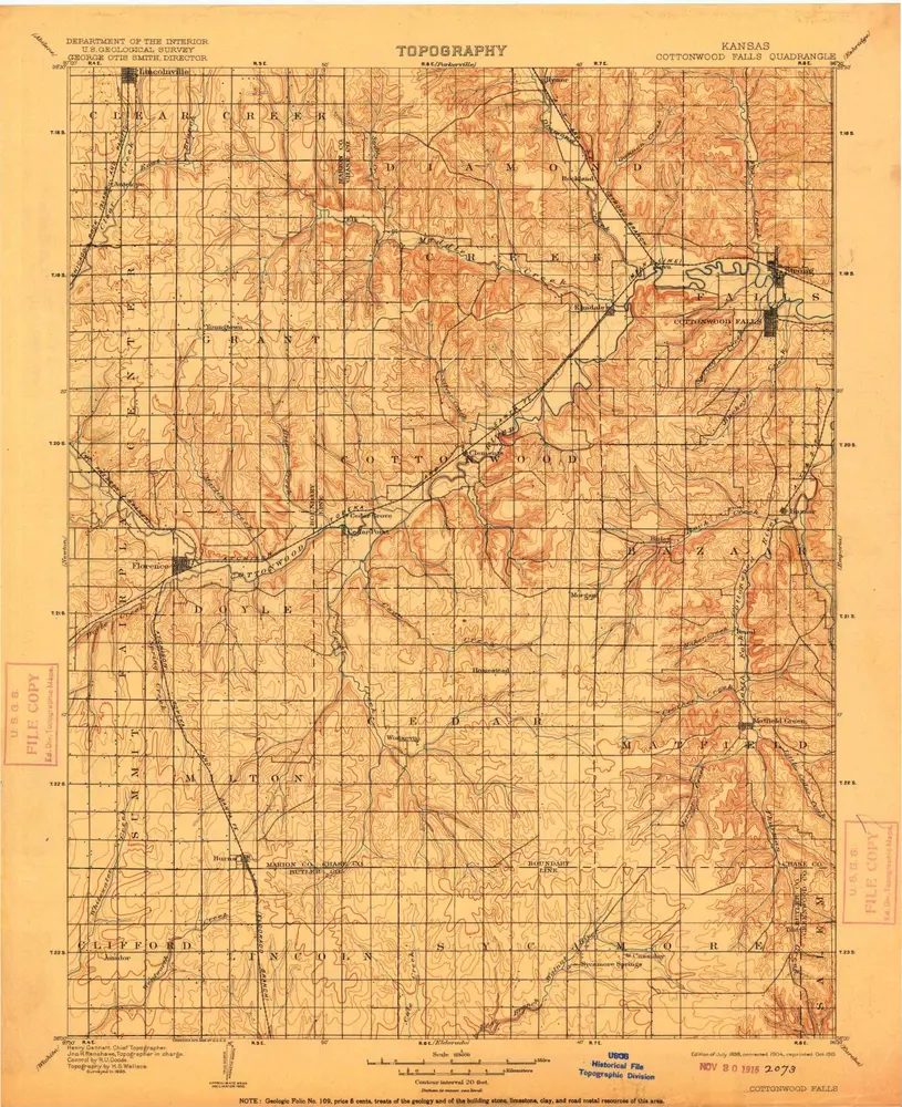
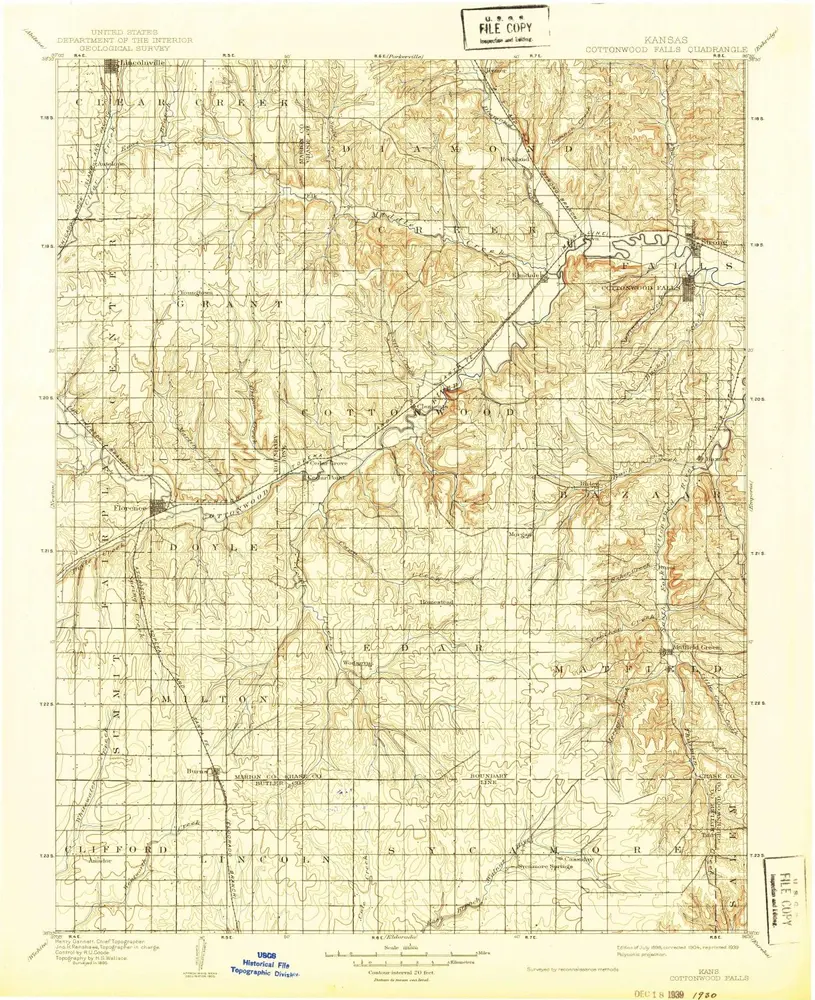
Cottonwood Falls
1898
1:125k
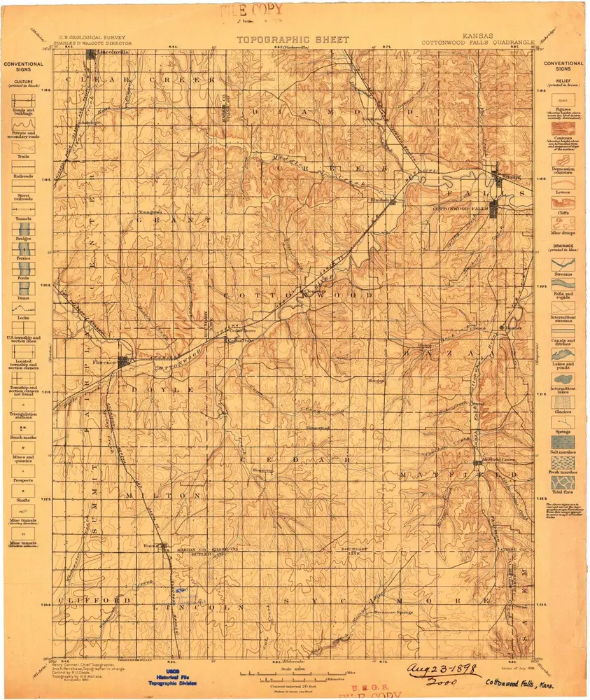
Cottonwood Falls
1898
1:125k
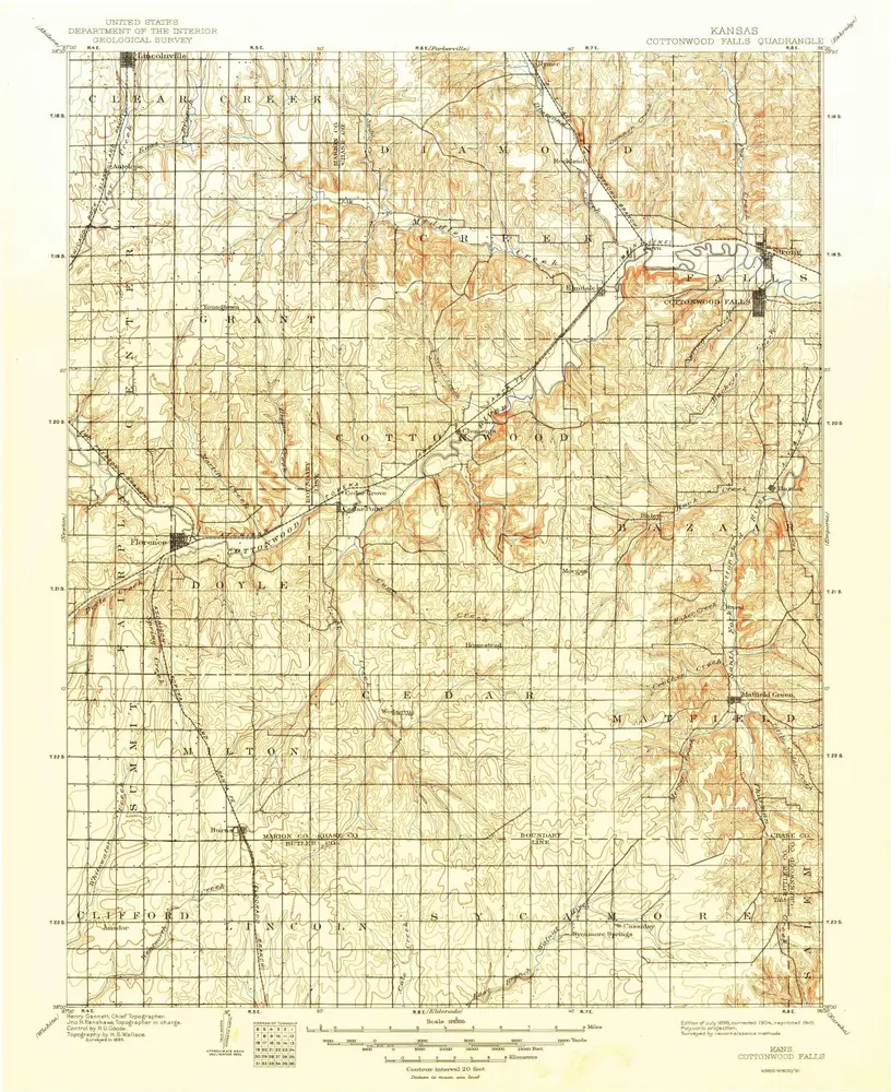
Cottonwood Falls
1898
1:125k
Cottonwood Falls
1898
1:125k
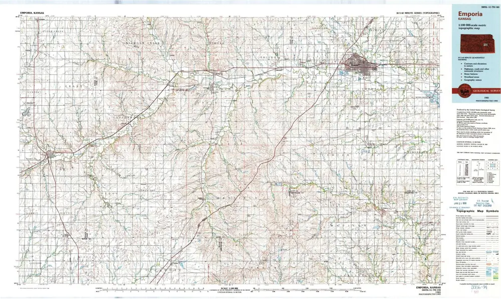
Emporia
1985
1:100k
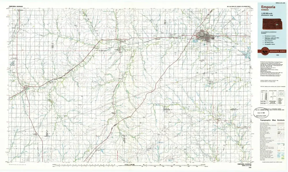
Emporia
1985
1:100k
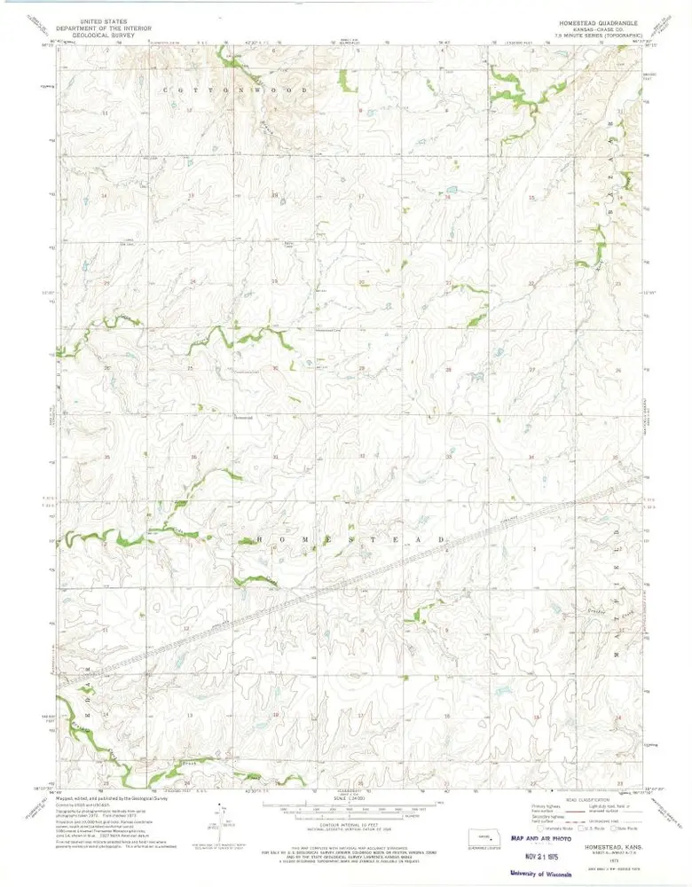
Homestead
1973
1:24k
Thrall NW
1973
1:24k
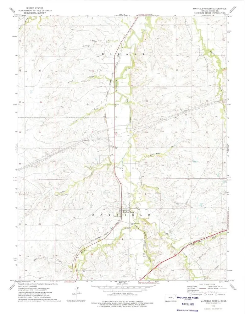
Matfield Green
1973
1:24k
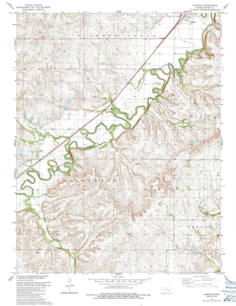
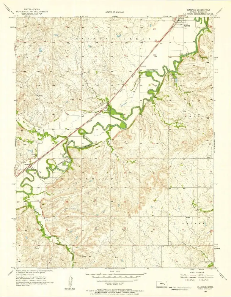
Elmdale
1989
1:24k
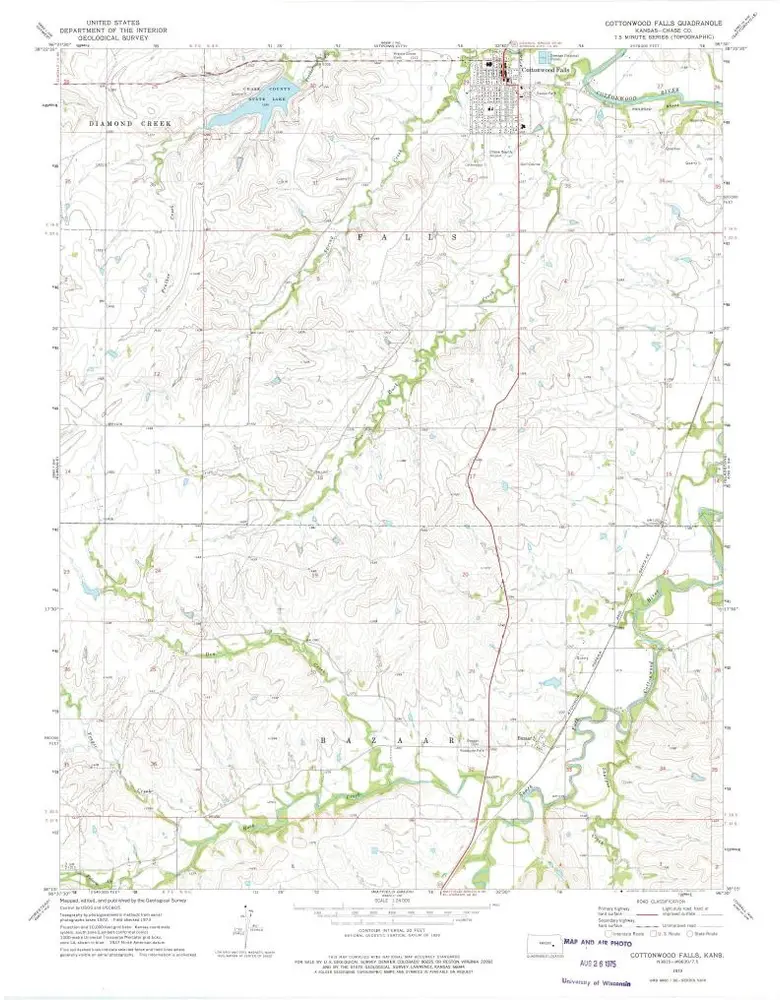
Cottonwood Falls
1973
1:24k
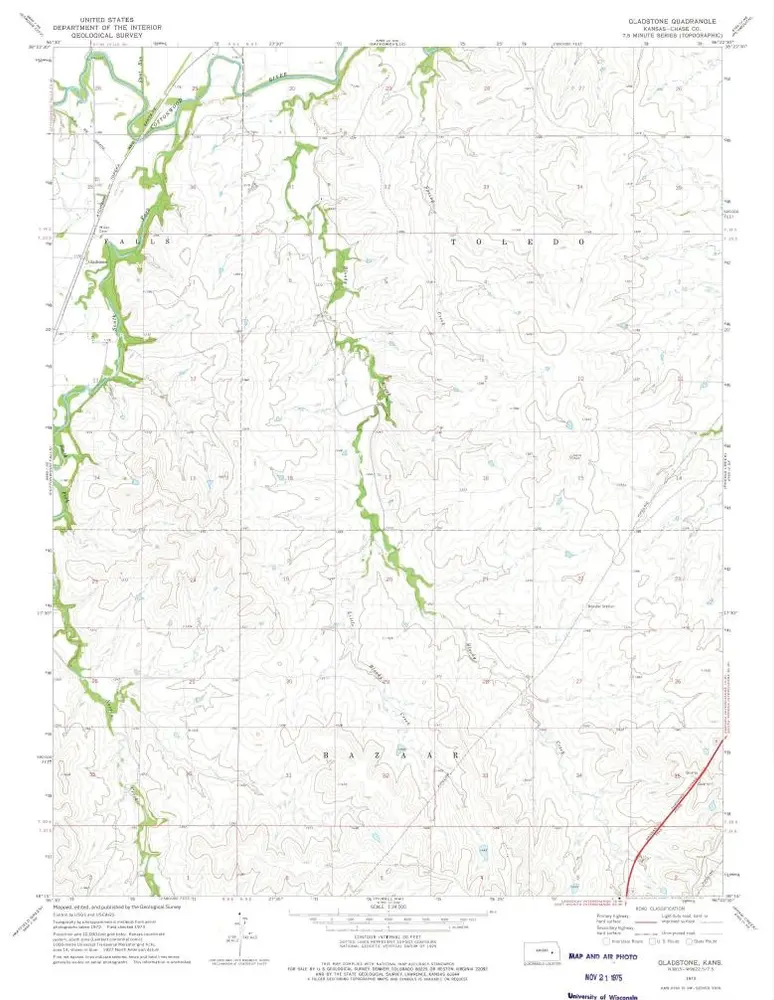
Gladstone
1973
1:24k
Elmdale
1957
1:24k
Geschichte