Project
Community
News
My App
My maps
Katalogisierte Karte
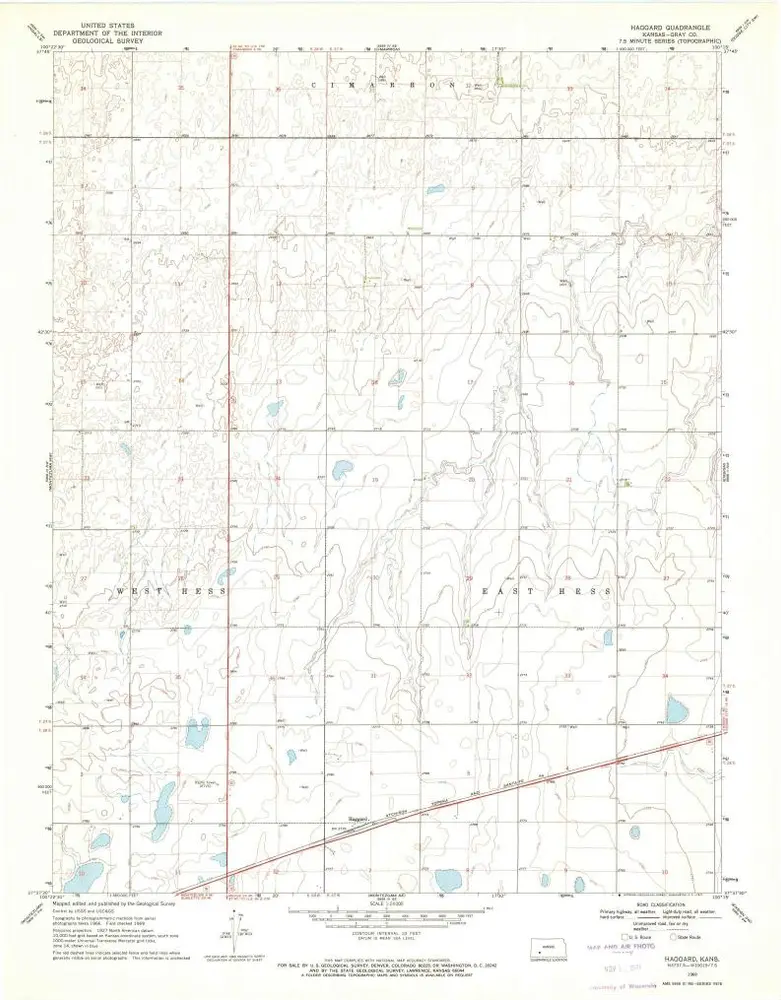
Haggard
View on external website
View digitized
Einrichtung:
United States Geological Survey
Vollständiger Titel:
Haggard
Jahr der Abbildung:
1969
Veröffentlichungsdatum:
1971
Maßstab der Karte:
1:24 000
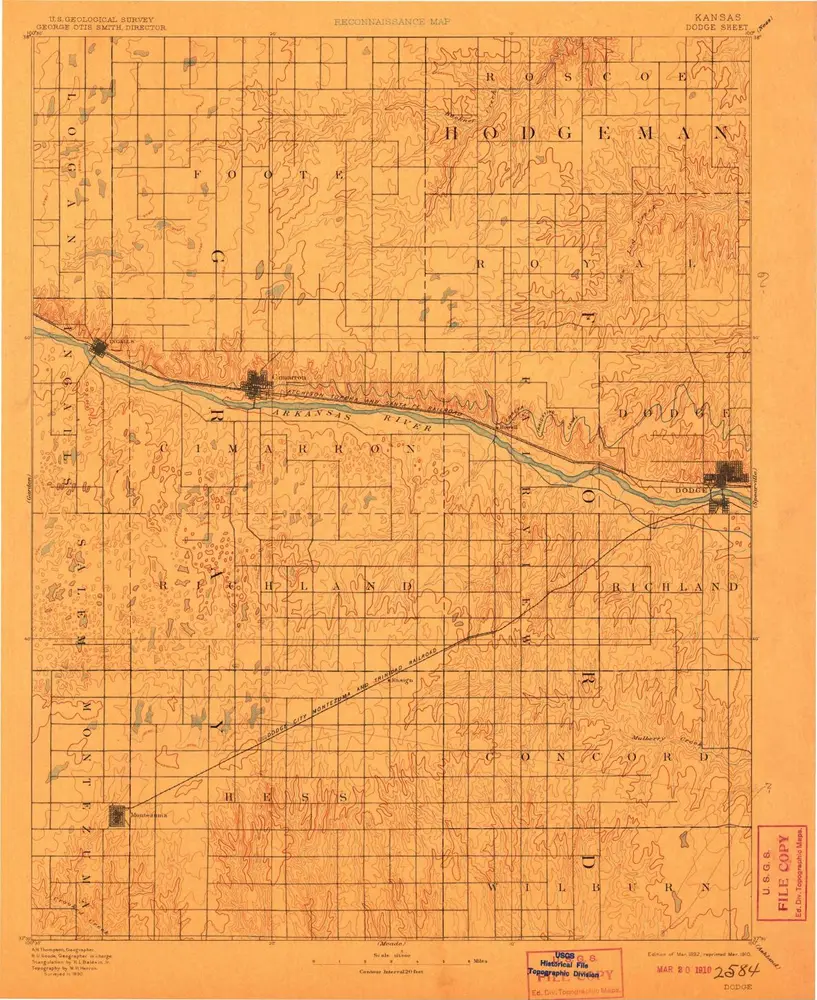
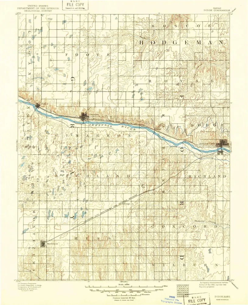
Dodge
1892
1:125k
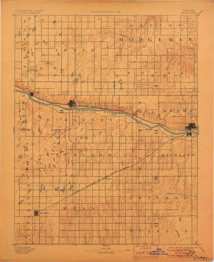
Dodge
1892
1:125k
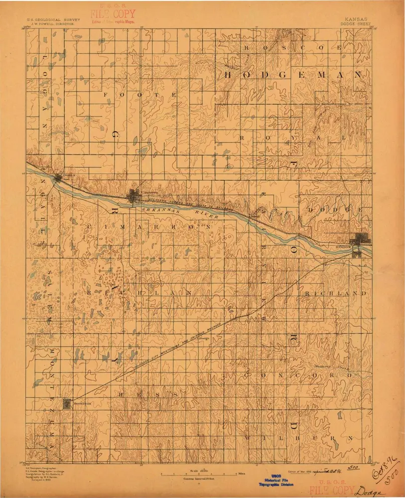
Dodge
1892
1:125k
Dodge
1892
1:125k
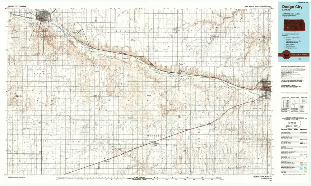
Dodge City
1985
1:100k
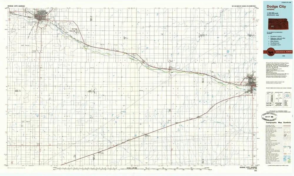
Dodge City
1985
1:100k
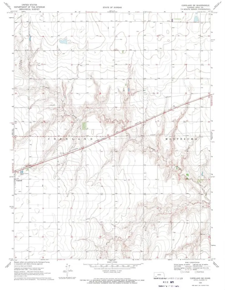
Copeland SE
1969
1:24k
Montezuma SE
1969
1:24k
Montezuma
1968
1:24k
Copeland NE
1969
1:24k
Haggard
1969
1:24k
Montezuma NW
1968
1:24k
Geschichte