Project
Community
News
My App
My maps
Katalogisierte Karte
Macon
View on external website
View digitized
Einrichtung:
United States Geological Survey
Vollständiger Titel:
Macon
Jahr der Abbildung:
1978
Veröffentlichungsdatum:
1988
Maßstab der Karte:
1:100 000
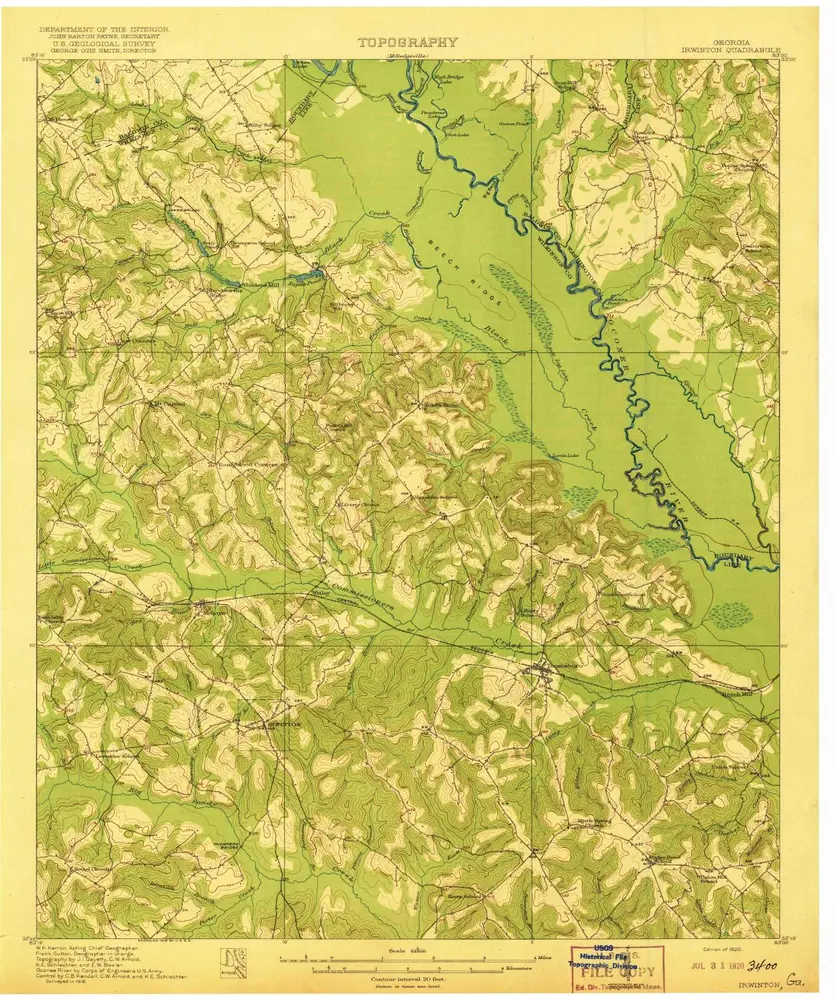
Irwinton
1920
1:63k
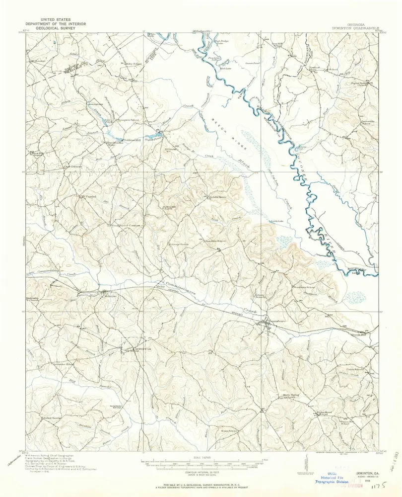
Irwinton
1916
1:63k
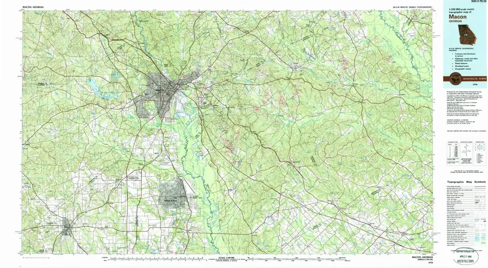
Macon
1978
1:100k
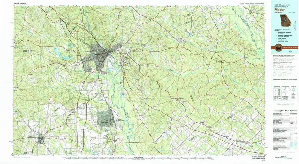
Macon
1978
1:100k
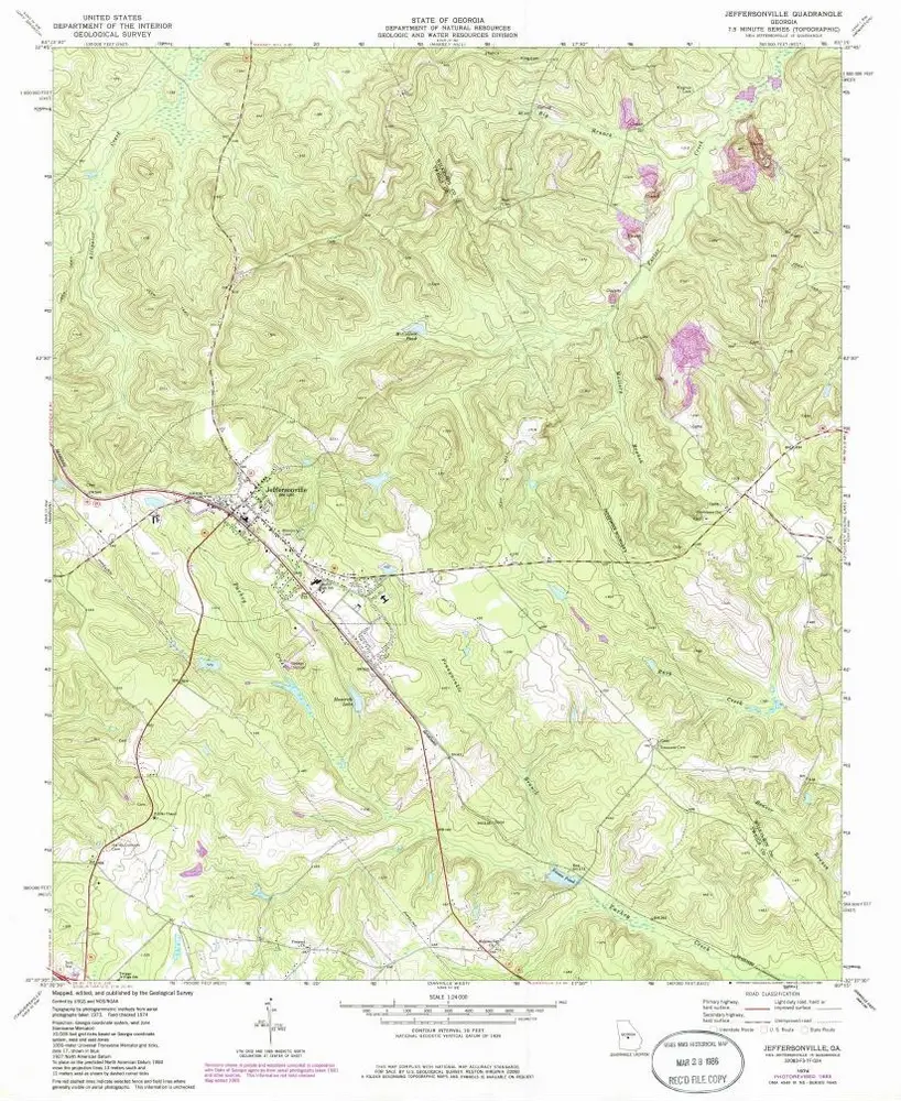
Jeffersonville
1974
1:24k
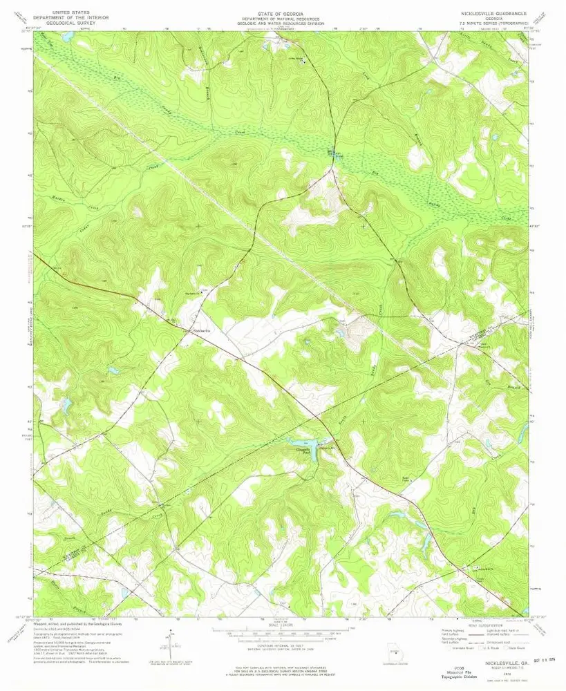
Nicklesville
1974
1:24k
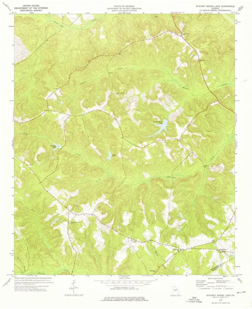
Stuckey Boone Lake
1974
1:24k
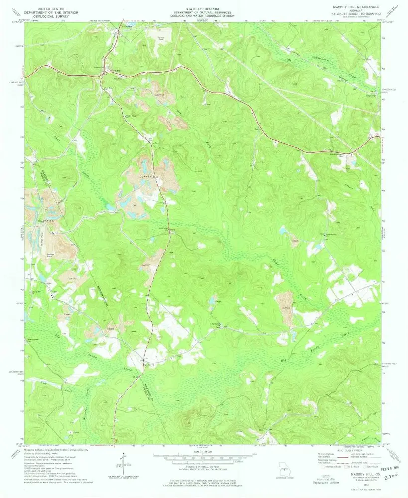
Massey Hill
1973
1:24k
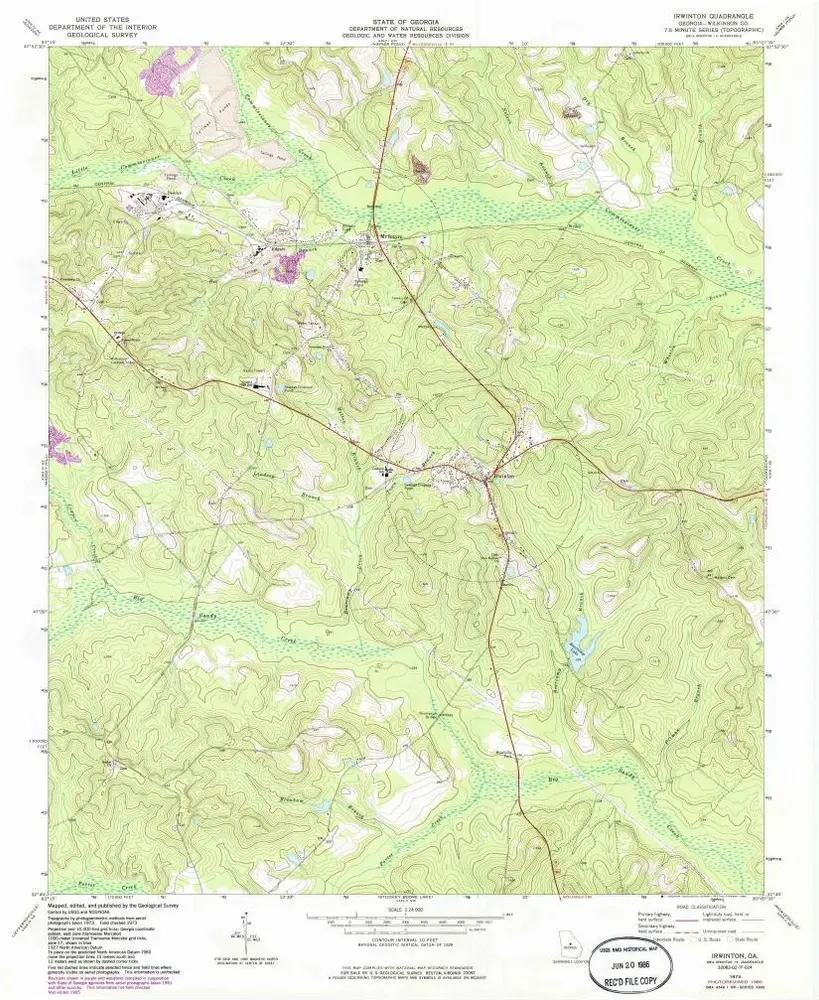
Irwinton
1973
1:24k
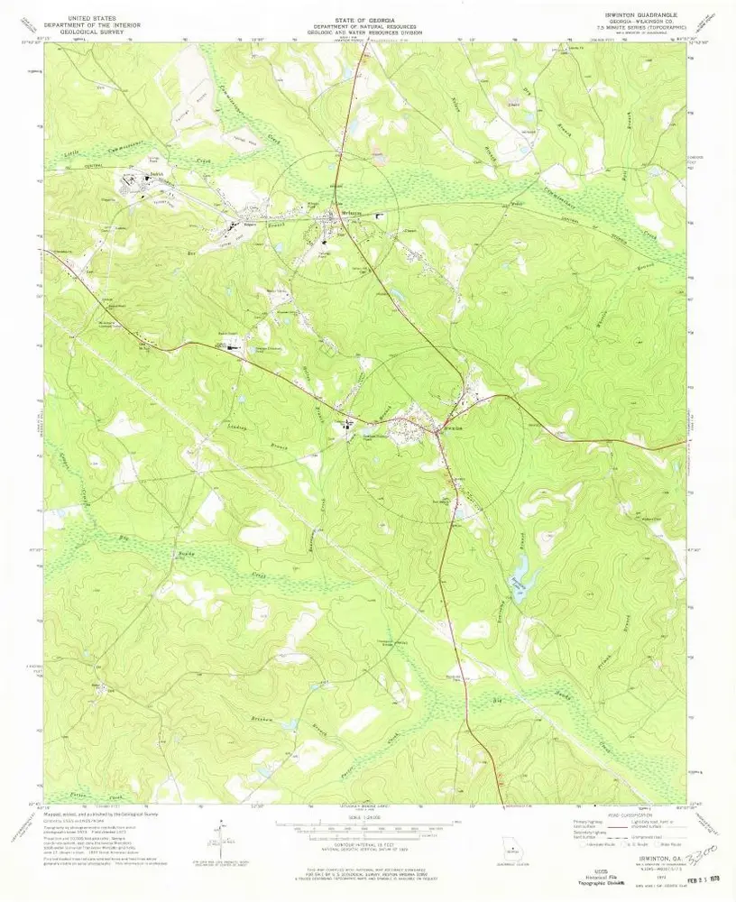
Irwinton
1973
1:24k
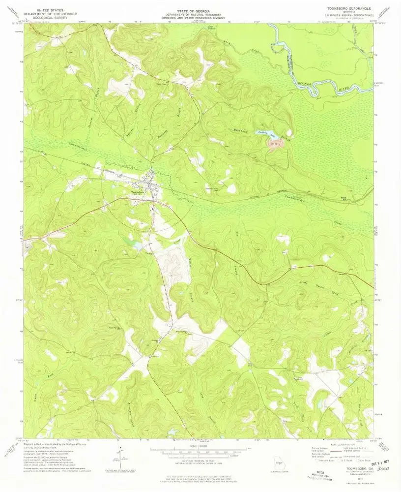
Toomsboro
1973
1:24k
Geschichte