Project
Community
News
My App
My maps
Skatalogowana mapa
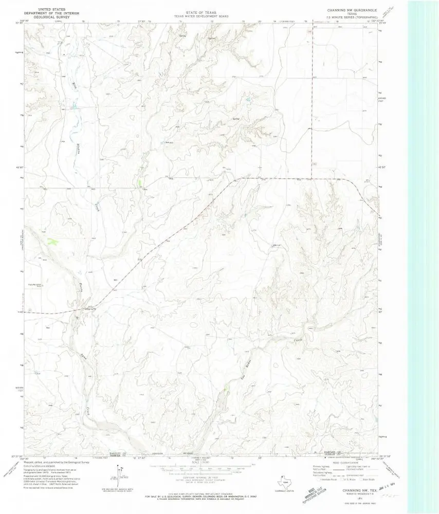
Channing NW
View on external website
View digitized
Instytucja:
United States Geological Survey
Pełny tytuł:
Channing NW
Rok ilustracji:
1971
Data publikacji:
1973
Skala mapy:
1:24 000
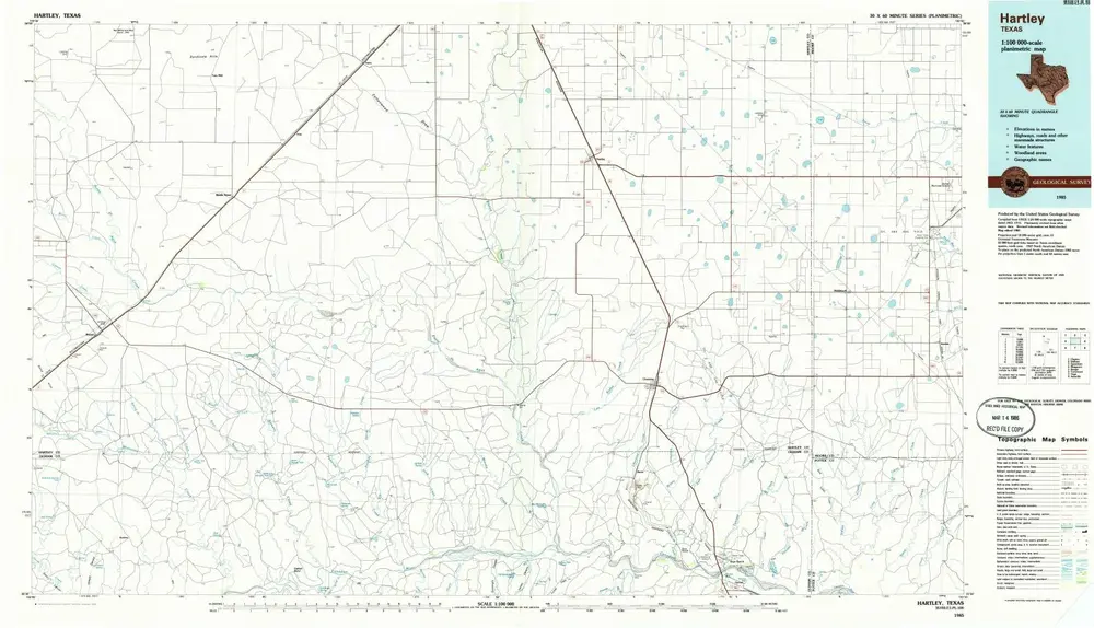
Hartley
1985
1:100k
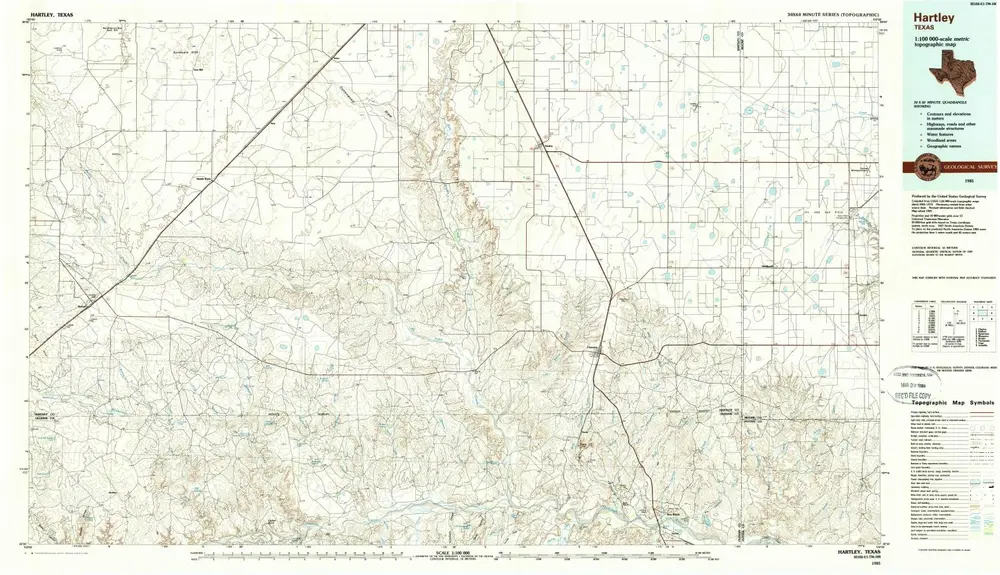
Hartley
1985
1:100k
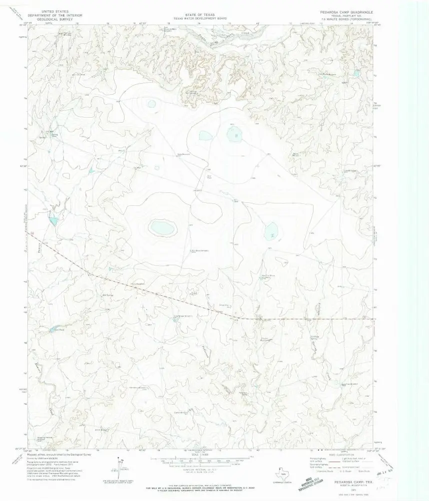
Pedarosa Camp
1971
1:24k
Romero
1971
1:24k
Spring Creek Ranch
1971
1:24k
Channing NW
1971
1:24k
Proctor Ranch
1971
1:24k
Channing
1971
1:24k
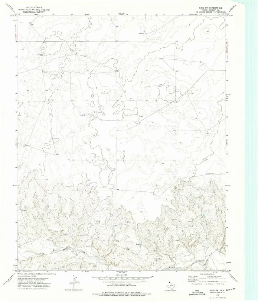
King SW
1973
1:24k
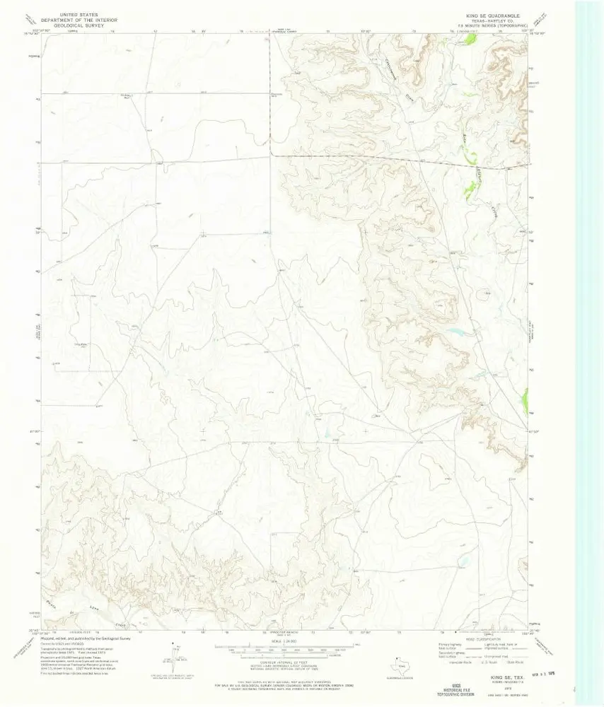
King SE
1973
1:24k
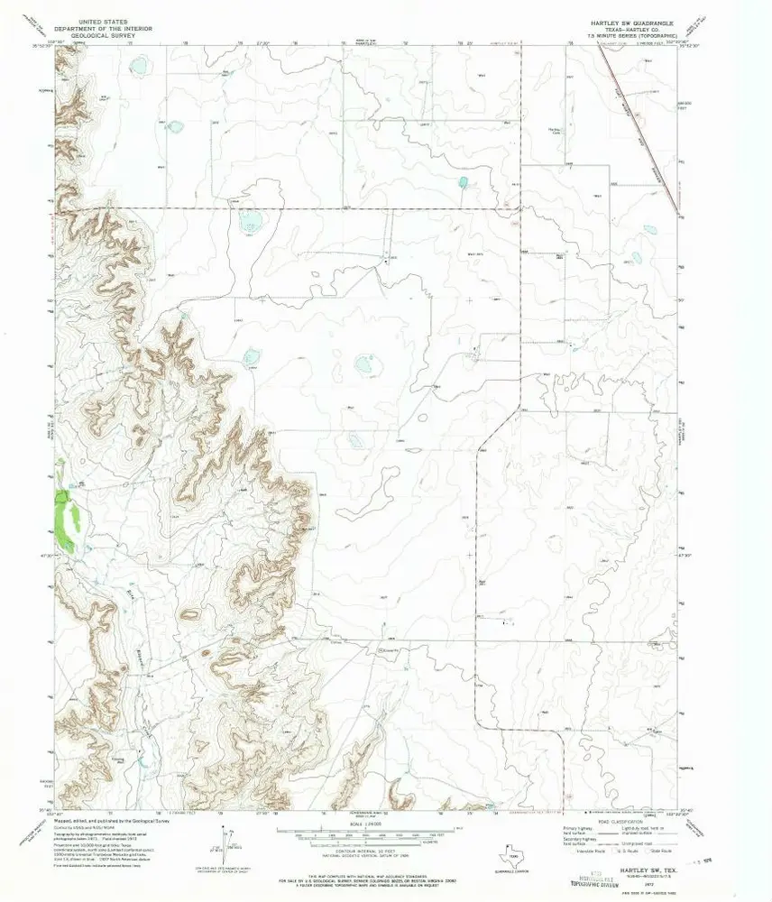
Hartley SW
1972
1:24k
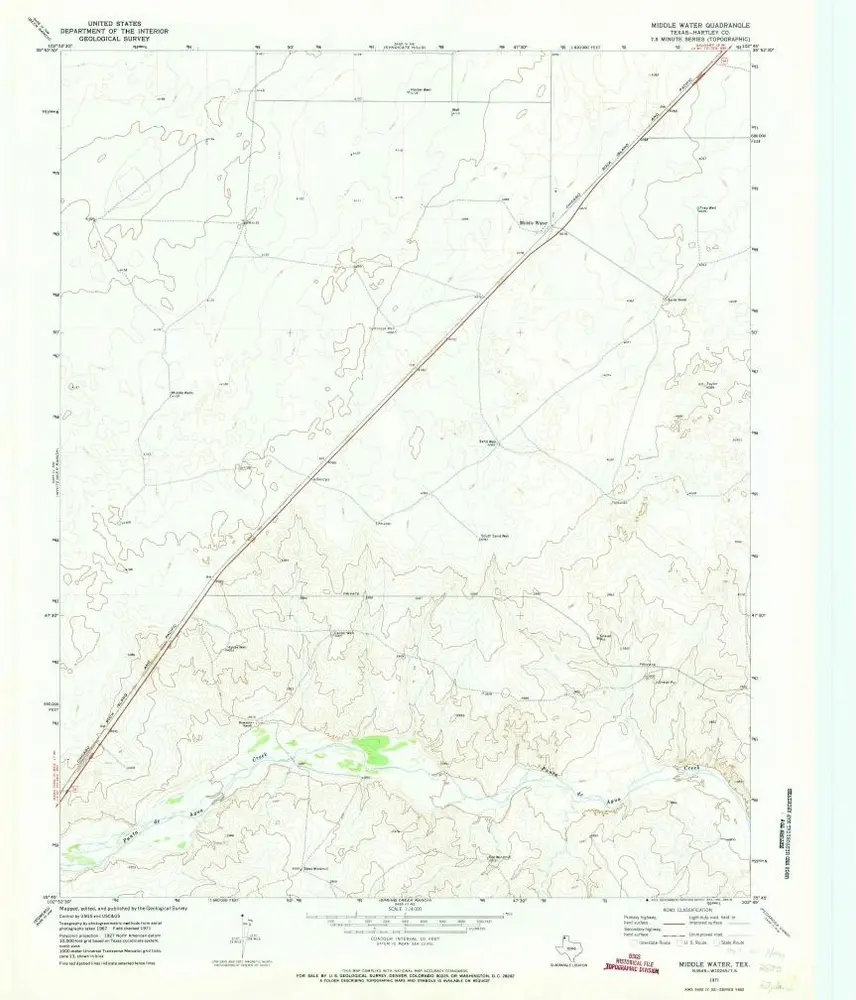
Middle Water
1971
1:24k
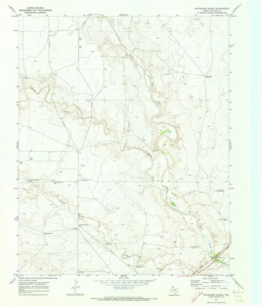
Whiteaker Ranch
1971
1:24k
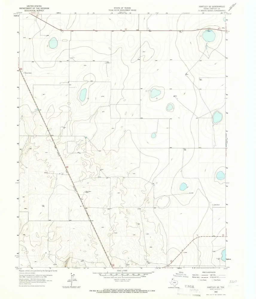
Hartley SE
1963
1:24k
Historia