Project
Community
News
My App
My maps
Cataloged map
Lancaster
View on external website
View digitized
Institution:
United States Geological Survey
Full title:
Lancaster
Depicted:
1959
Pubdate:
1987
Map scale:
1:24 000
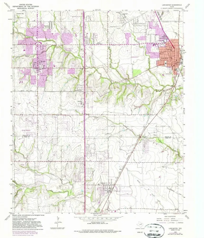
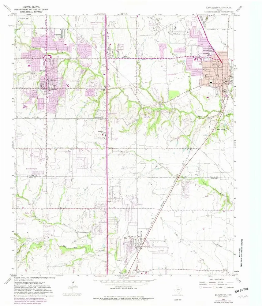
Lancaster
1959
1:24k
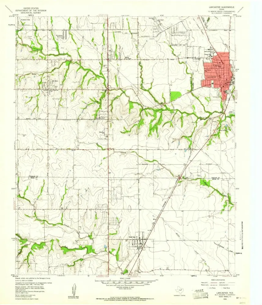
Lancaster
1959
1:24k
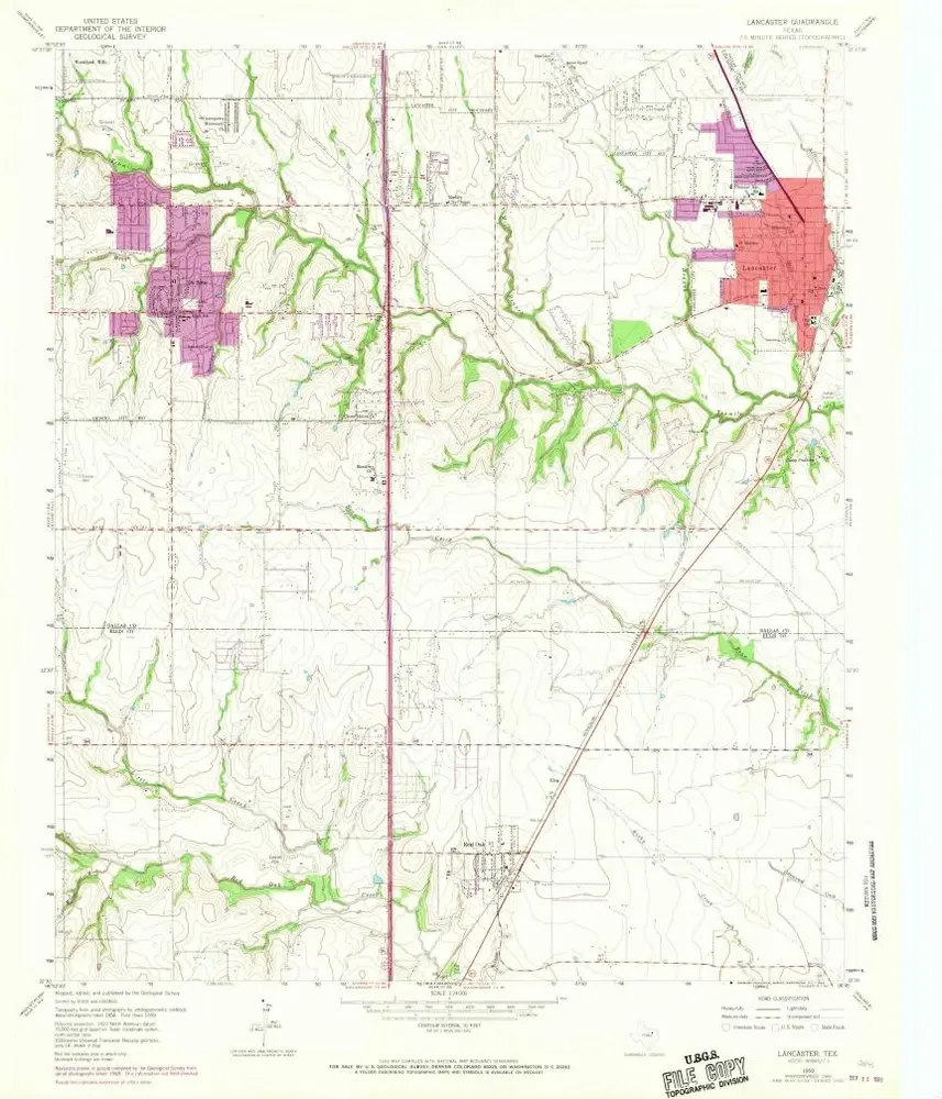
Lancaster
1959
1:24k
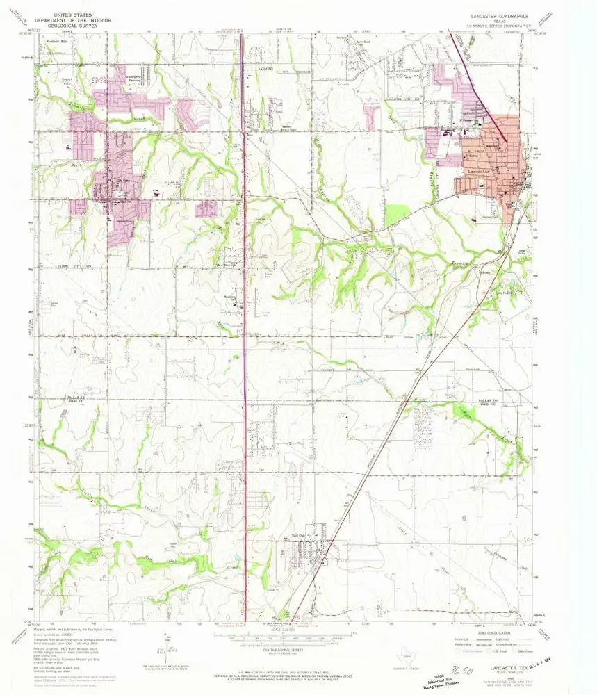
Lancaster
1959
1:24k
Lancaster
1959
1:24k
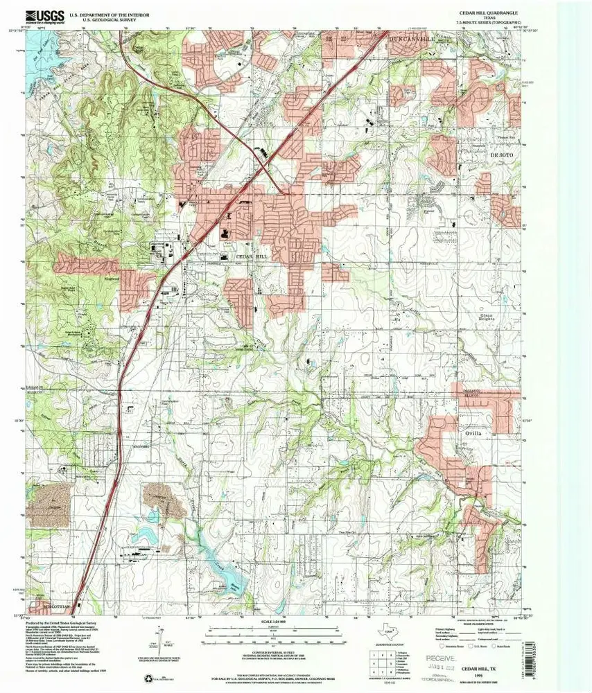
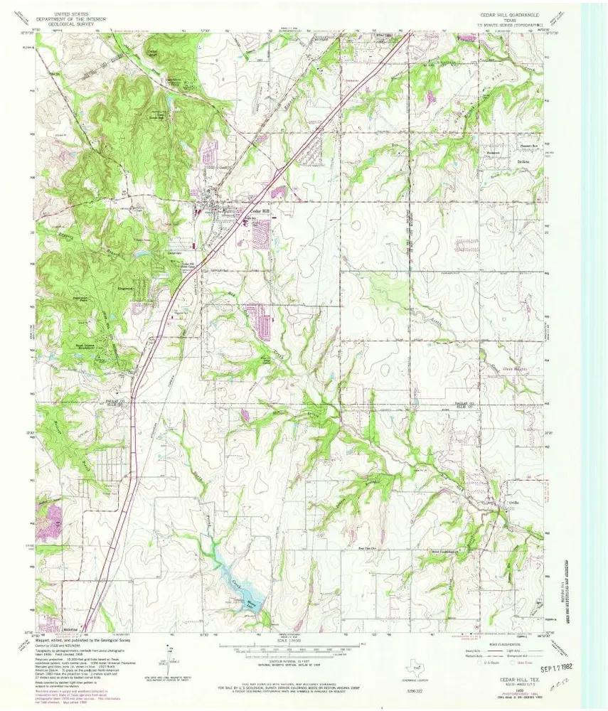
Cedar Hill
1995
1:24k
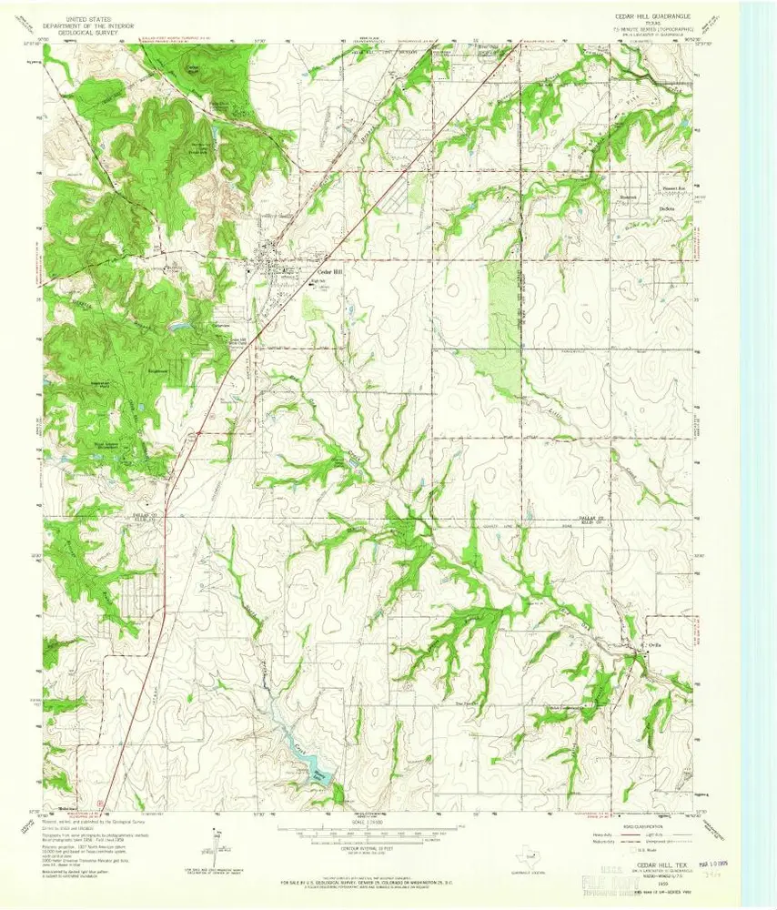
Cedar Hill
1959
1:24k
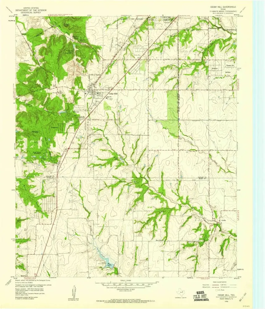
Cedar Hill
1959
1:24k
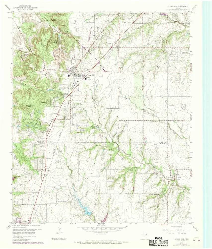
Cedar Hill
1959
1:24k
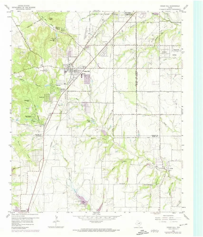
Cedar Hill
1959
1:24k
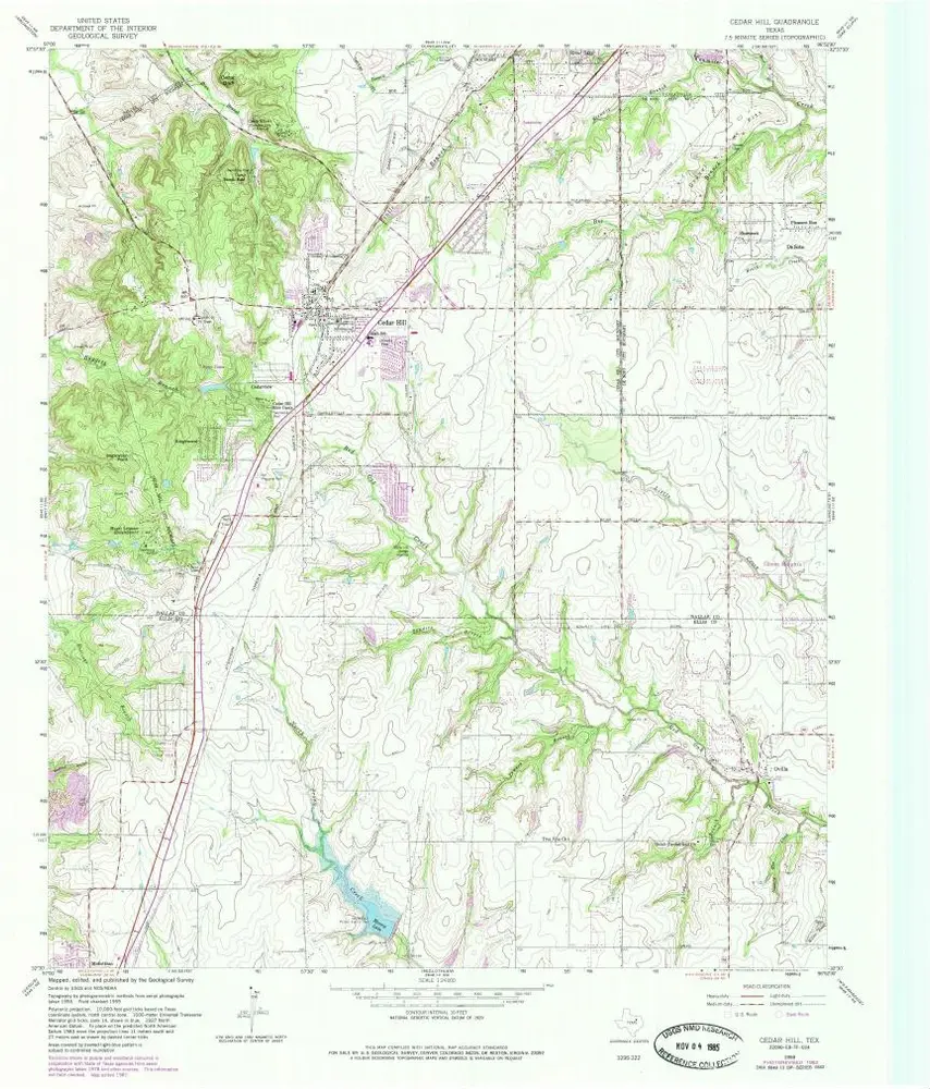
Cedar Hill
1959
1:24k
Cedar Hill
1959
1:24k
History