Project
Community
News
My App
My maps
Gecatalogiseerde kaart
Thomaston West
View on external website
View digitized
Instelling:
United States Geological Survey
Volledige titel:
Thomaston West
Jaar illustratie:
1968
Pubdatum:
1986
Schaal kaart:
1:24 000
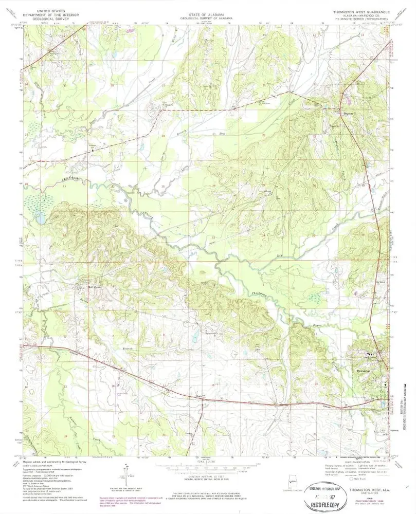
Thomaston West
1968
1:24k
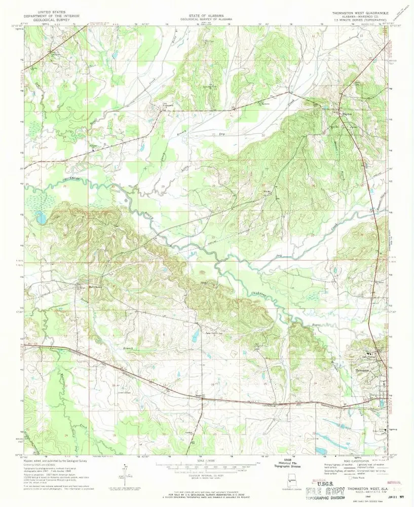
Thomaston West
1968
1:24k
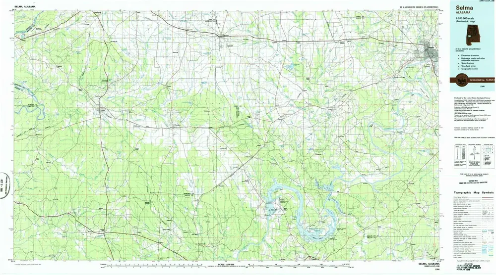
Selma
1986
1:100k
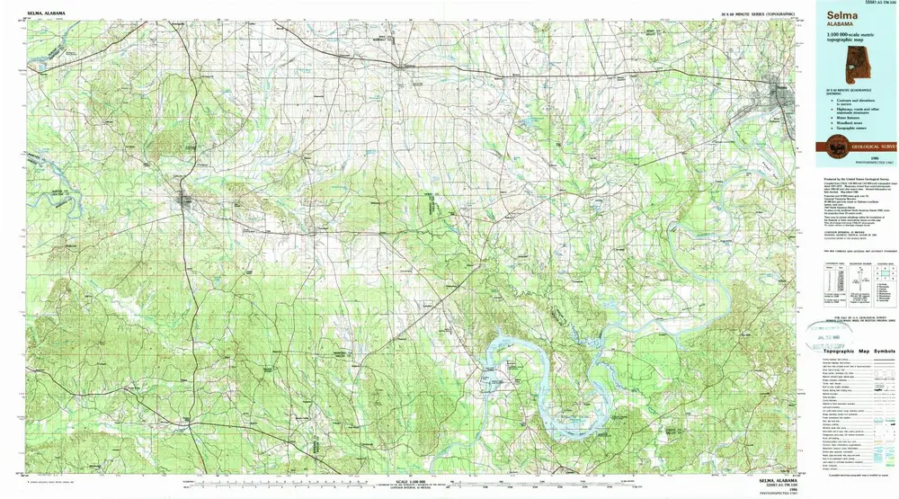
Selma
1986
1:100k
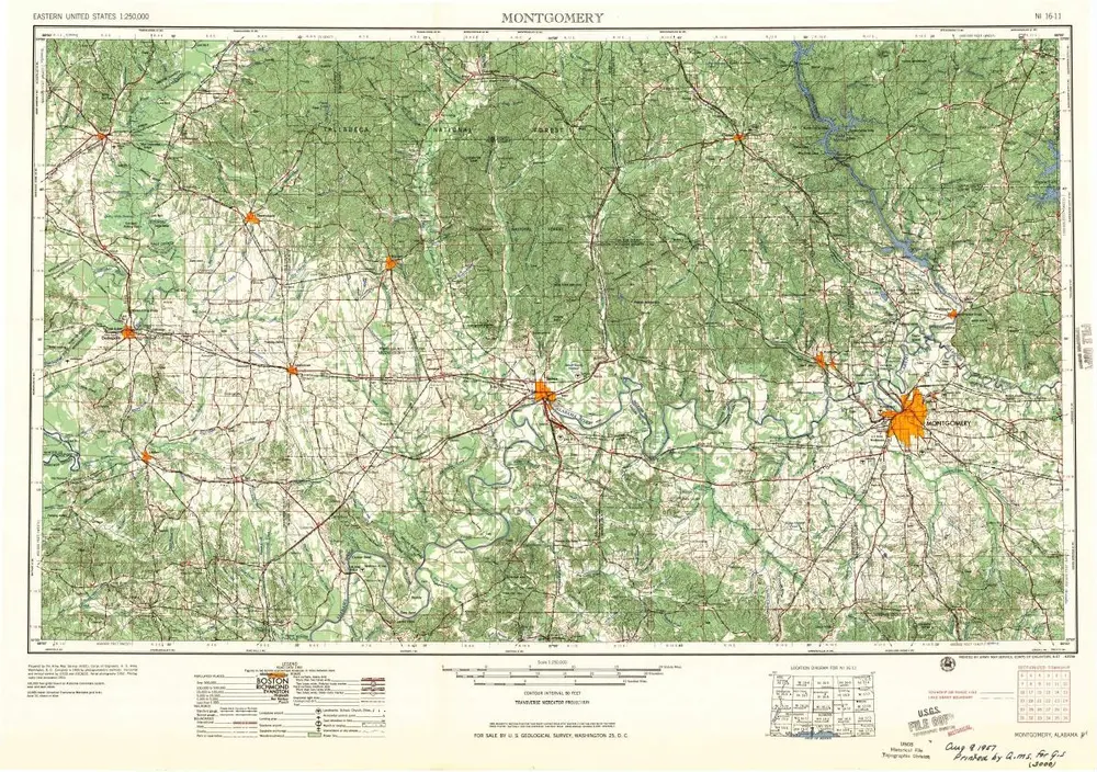
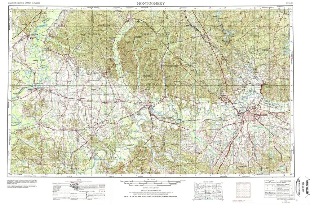
Montgomery
1957
1:250k
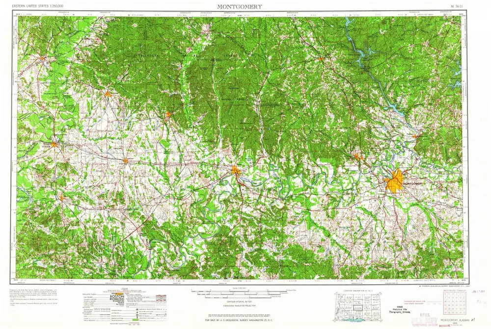
Montgomery
1953
1:250k
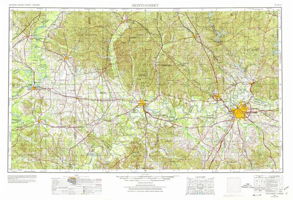
Montgomery
1953
1:250k
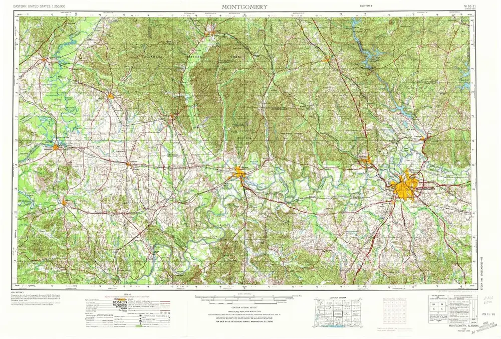
Montgomery
1953
1:250k
Montgomery
1953
1:250k
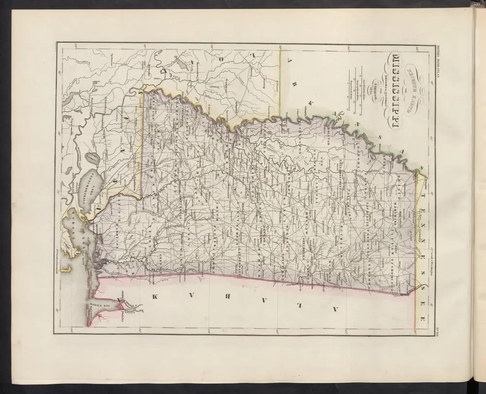
Neueste Karte von Mississippi
1860
Meyer, J.
Geschiedenis