Gecatalogiseerde kaart
Long Branch

Volledige titel:Long Branch
Jaar illustratie:1954
Pubdatum:1956
Schaal kaart:1:24 000
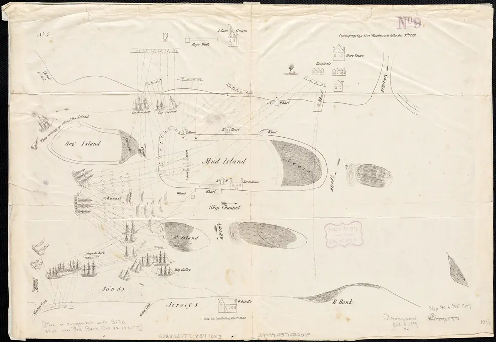
[Plan of engagement with British ships near Red Bank, New Jersey, October 22 and 23, 1777]
1777
Hazlewood, J.
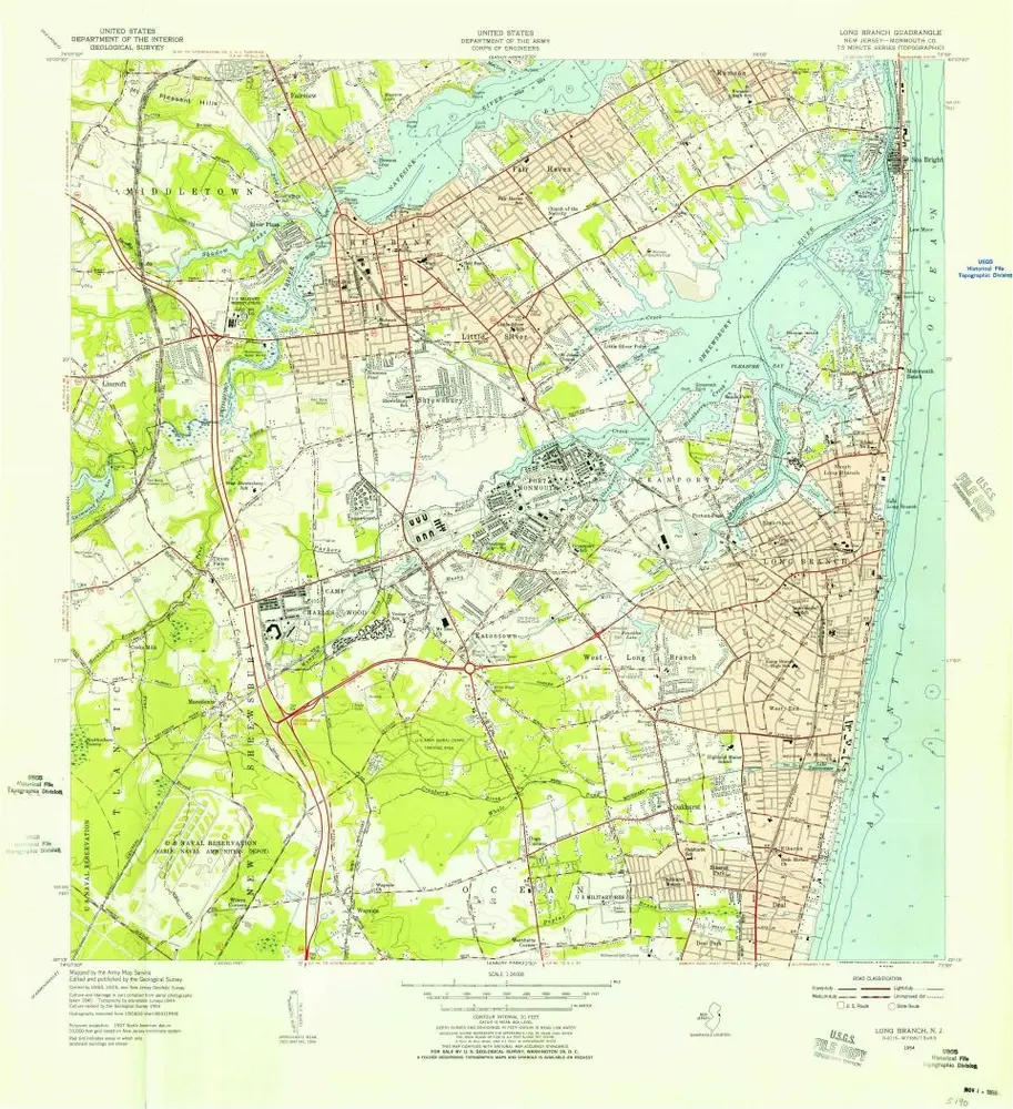
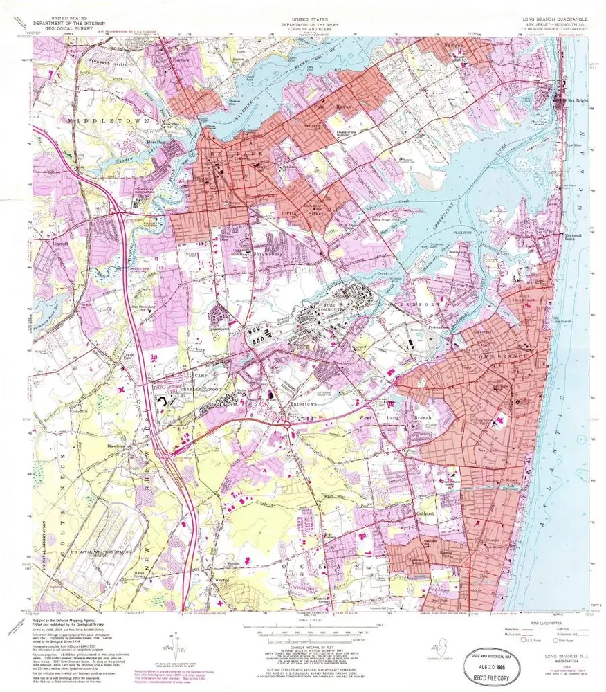
Long Branch
1954
1:24k
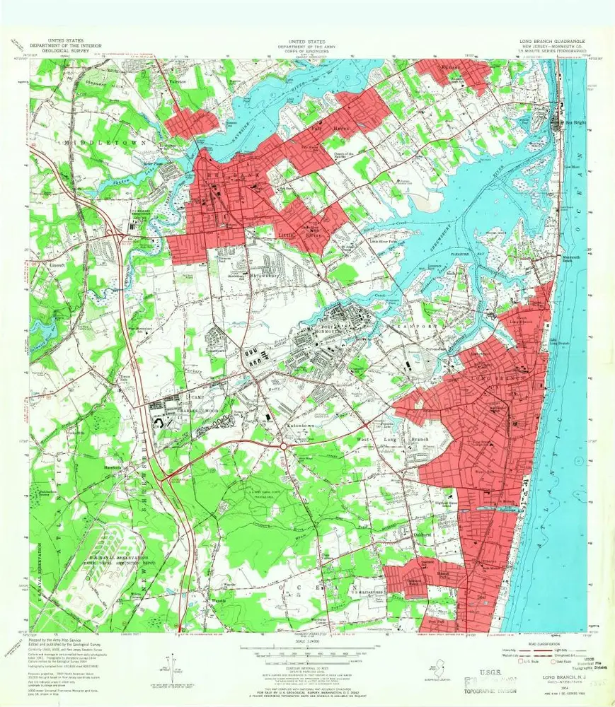
Long Branch
1954
1:24k
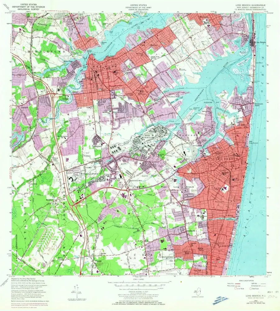
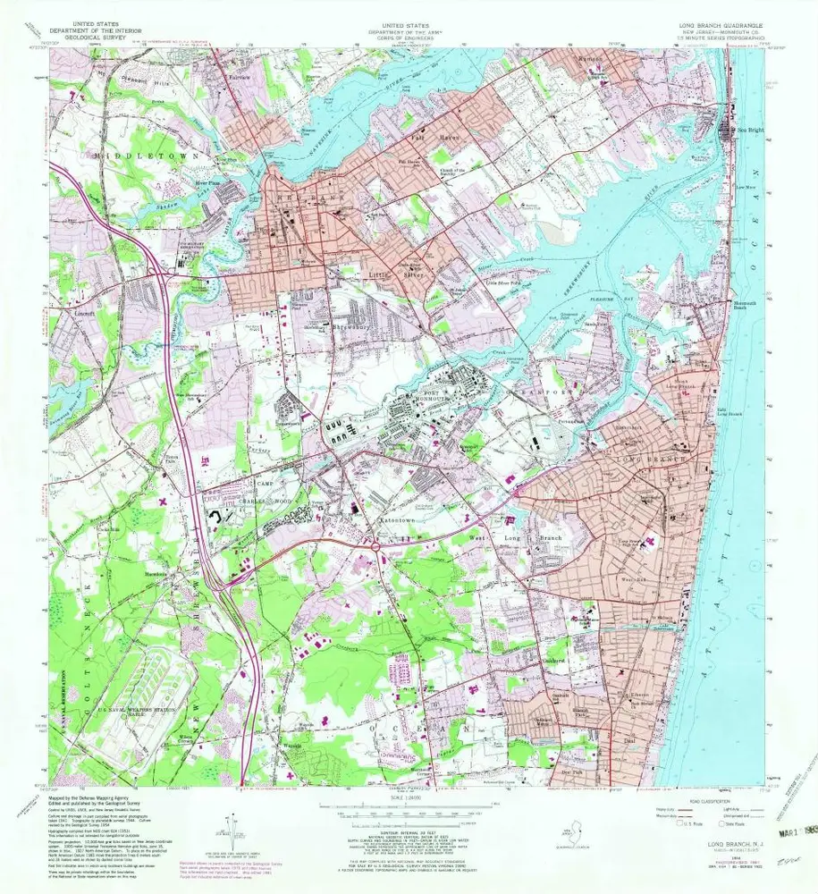
Long Branch
1954
1:24k
Long Branch
1954
1:24k
Long Branch
1954
1:24k
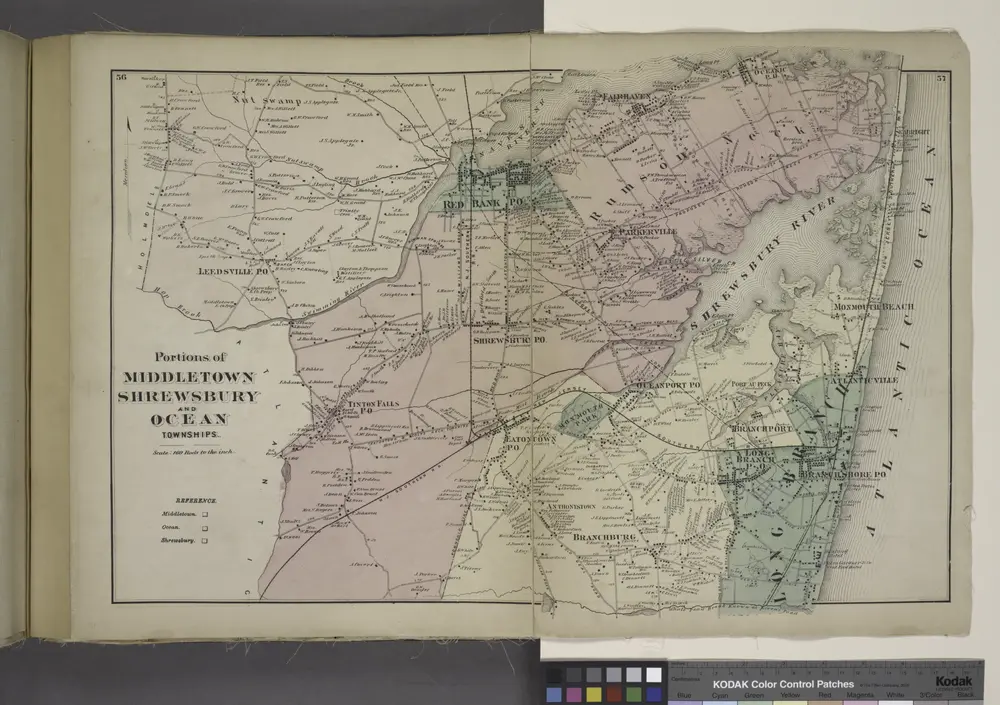
Portions of Middletown, Shrewsbury and Ocean Townships. [Townships]
1873
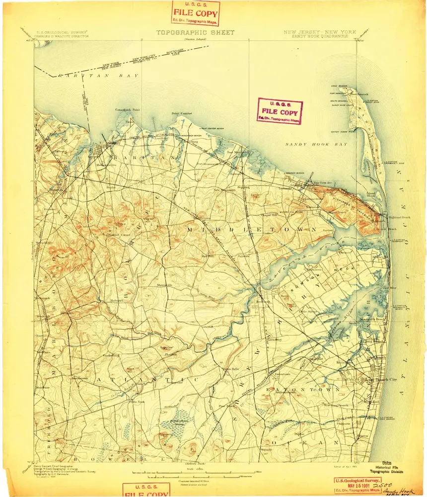
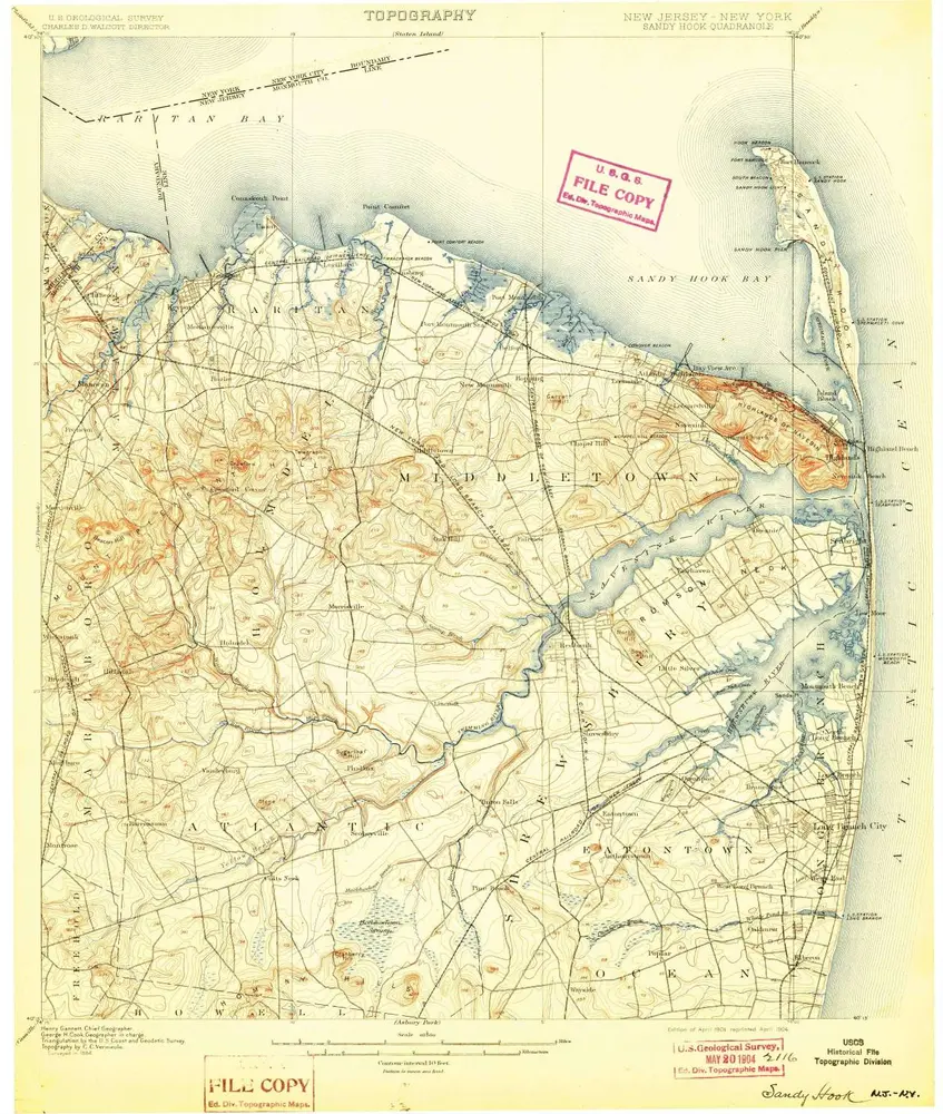
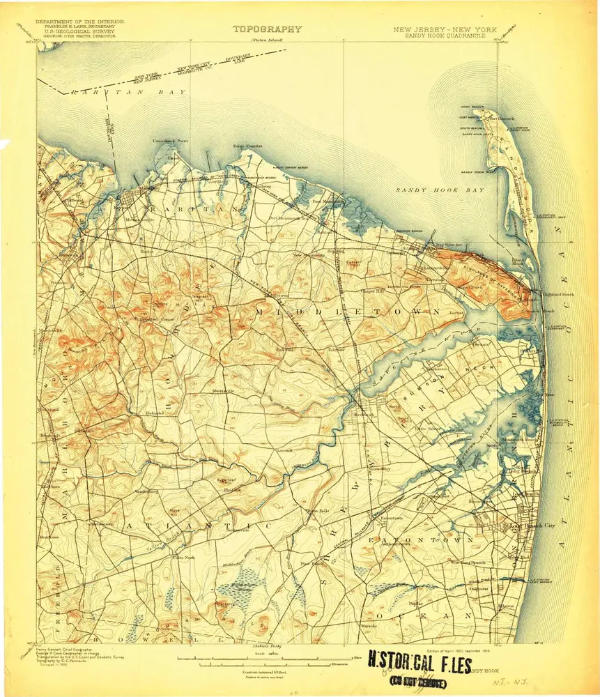
Sandy Hook
1901
1:63k
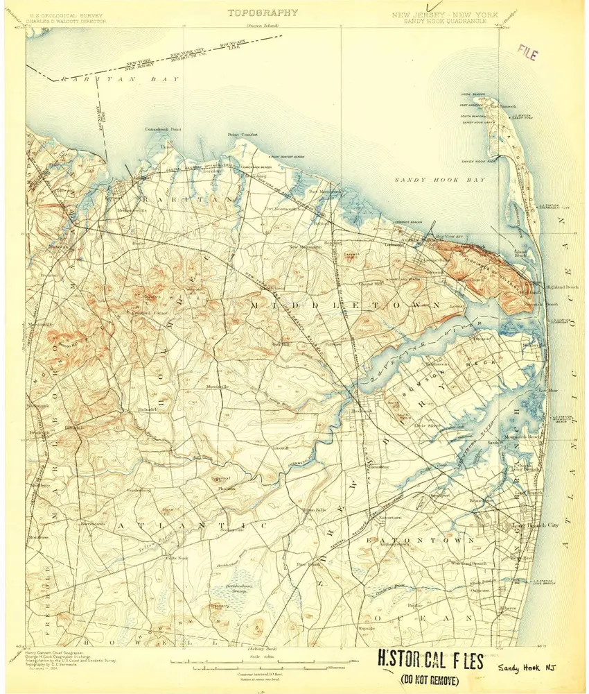
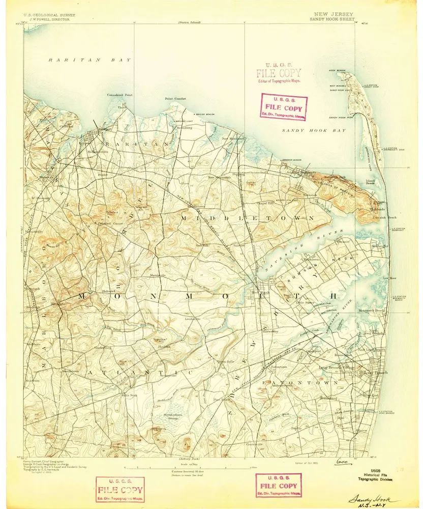
Sandy Hook
1901
1:63k
Sandy Hook
1901
1:63k
Sandy Hook
1901
1:63k
Sandy Hook
1901
1:63k
Sandy Hook
1901
1:63k
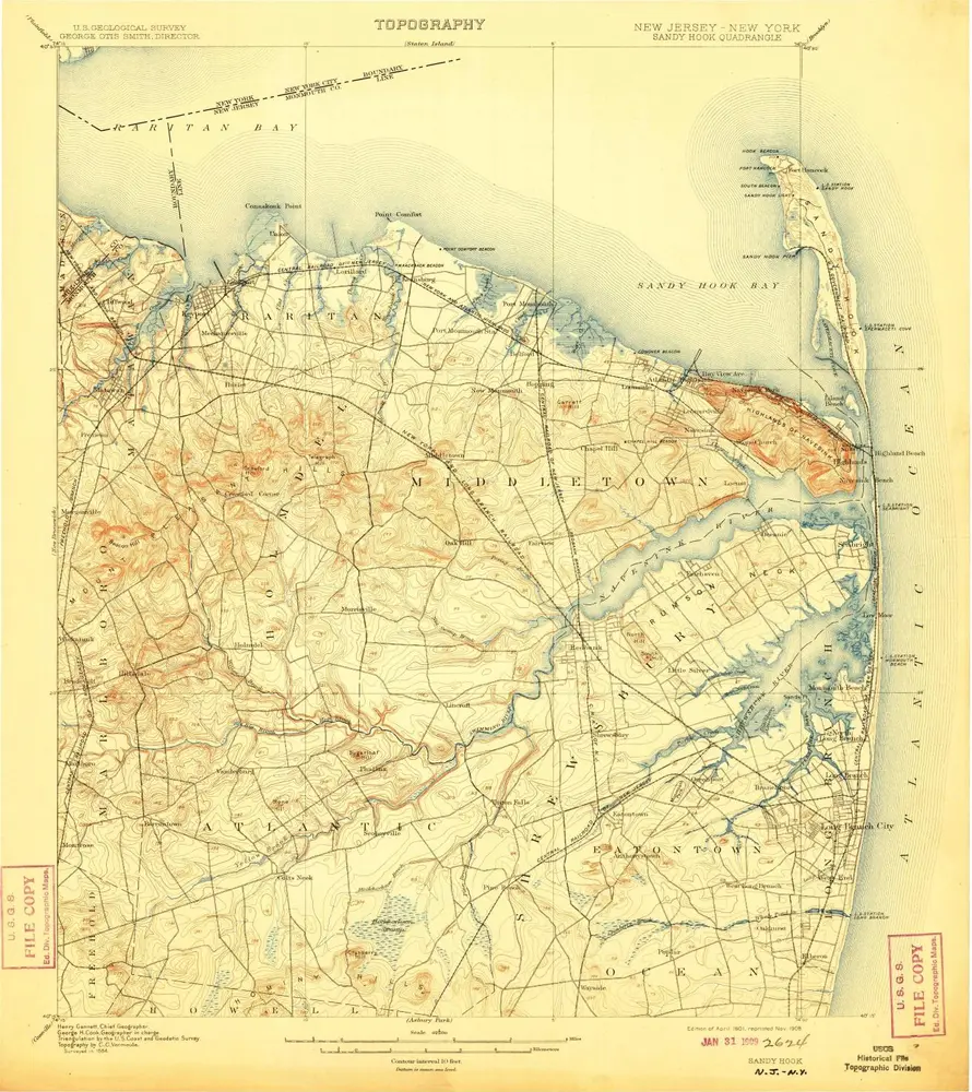
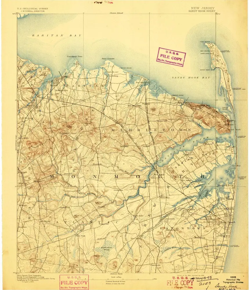
Sandy Hook
1893
1:63k
Sandy Hook
1893
1:63k
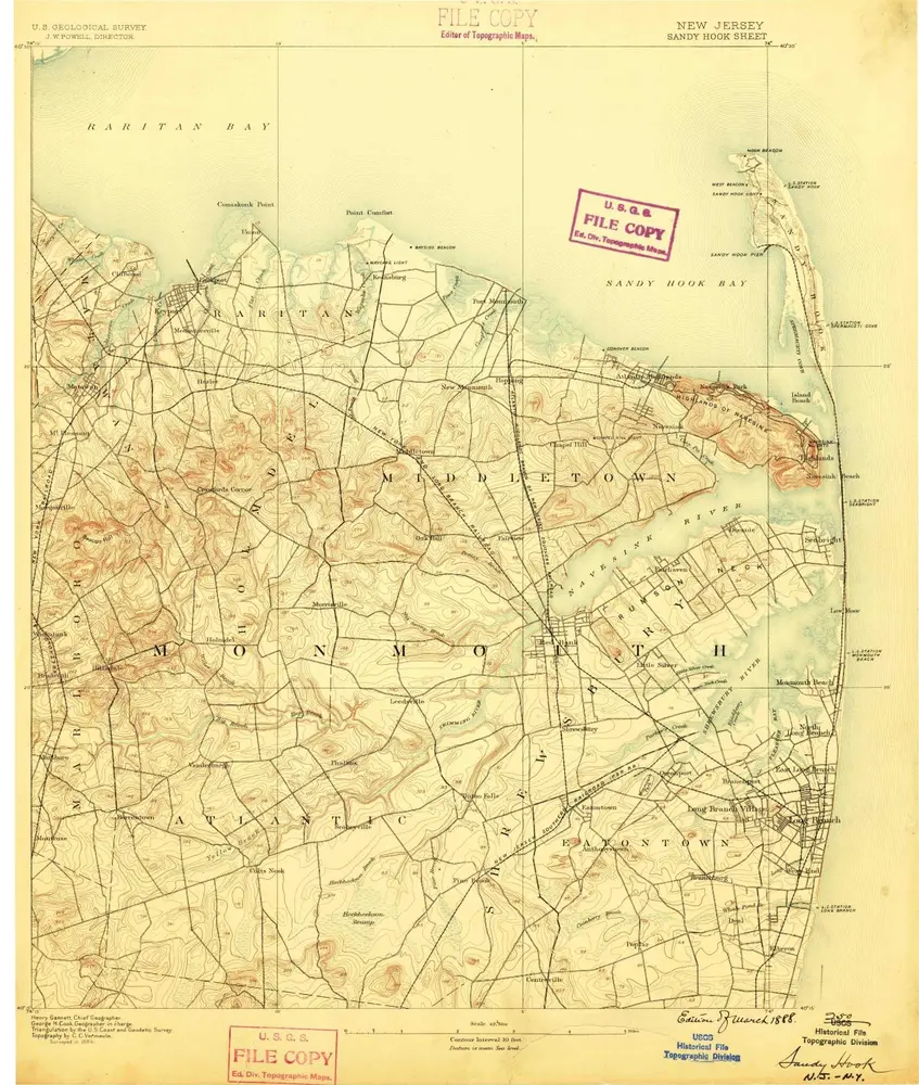
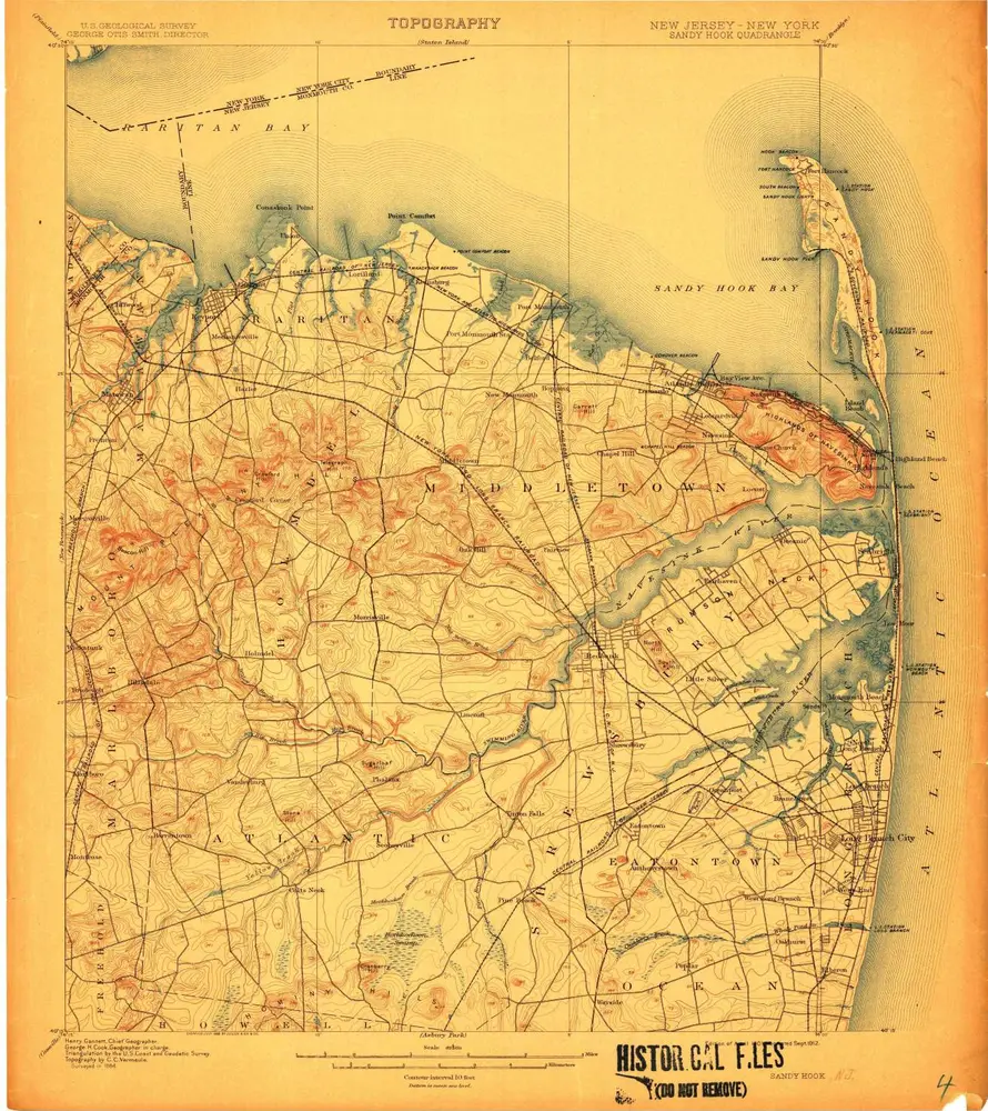
Sandy Hook
1888
1:63k