Project
Community
News
My App
My maps
Katalogisierte Karte
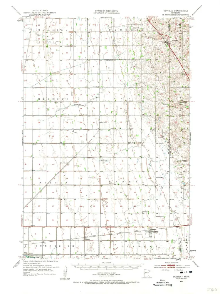
Rothsay
View on external website
View digitized
Einrichtung:
United States Geological Survey
Vollständiger Titel:
Rothsay
Jahr der Abbildung:
1951
Veröffentlichungsdatum:
1957
Maßstab der Karte:
1:62 500
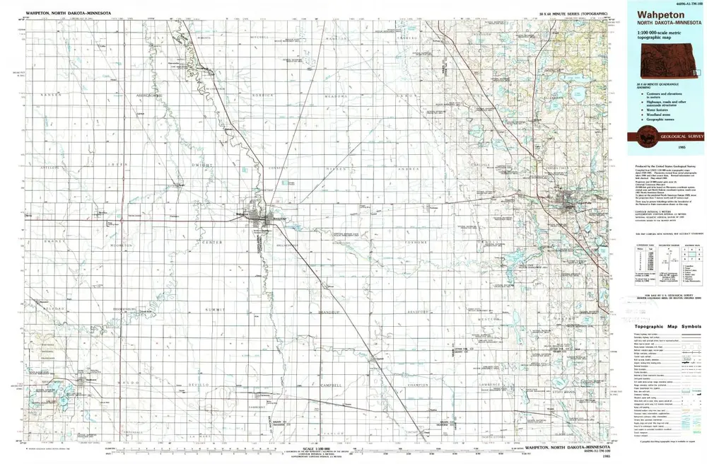
Wahpeton
1985
1:100k
Wahpeton
1985
1:100k
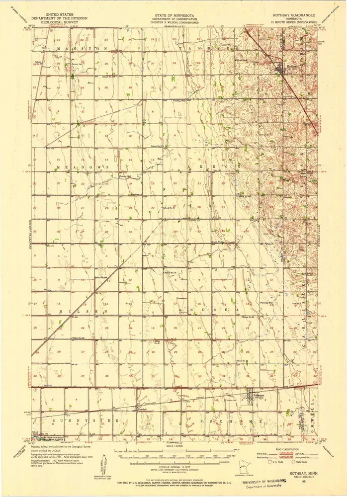
Rothsay
1951
1:63k
Rothsay
1951
1:63k
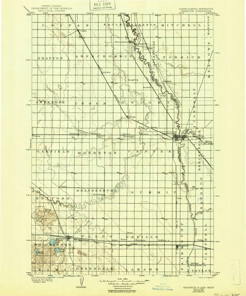
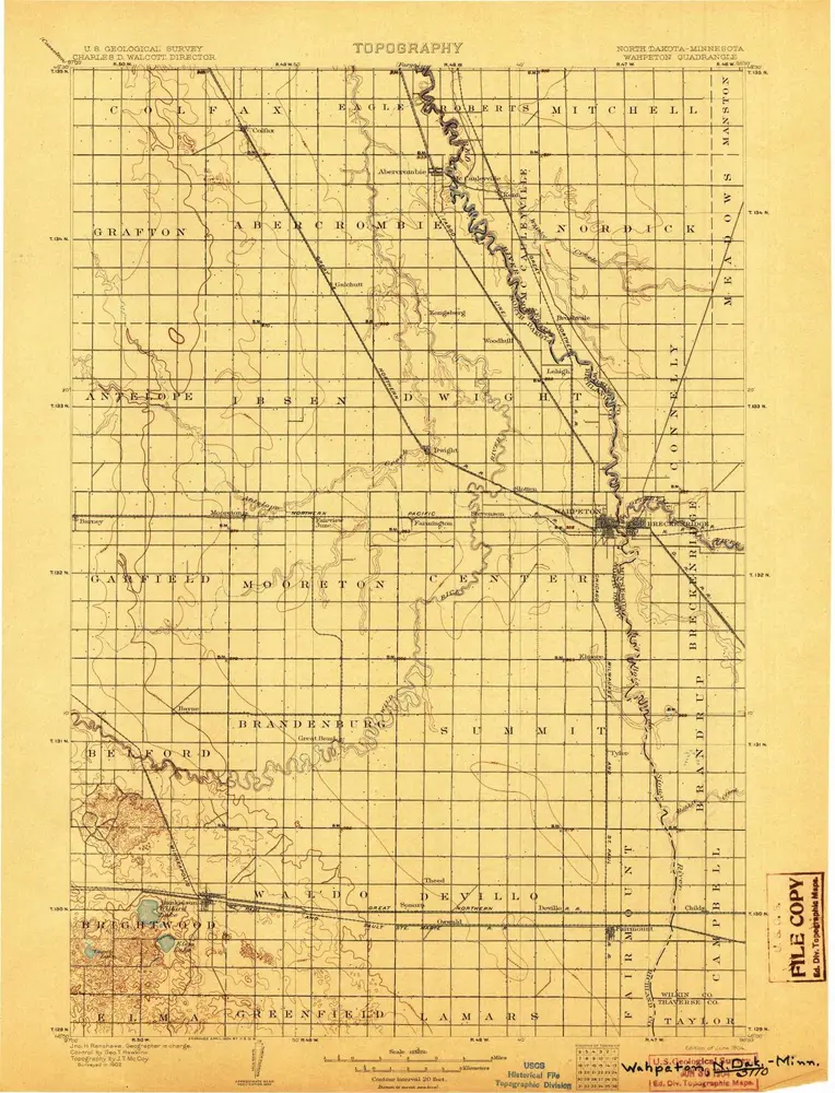
Wahpeton
1904
1:125k
Wahpeton
1904
1:125k
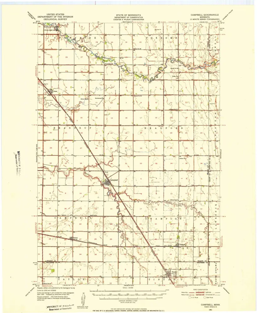
Campbell
1951
1:63k
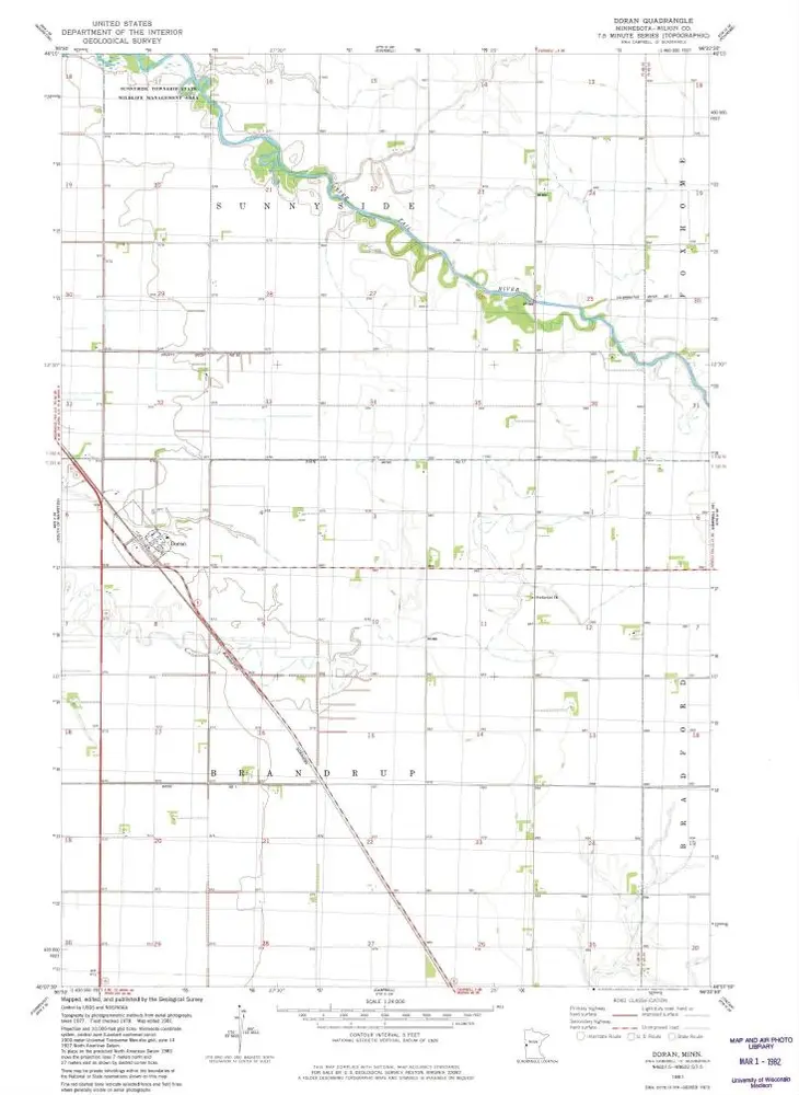
Doran
1981
1:24k
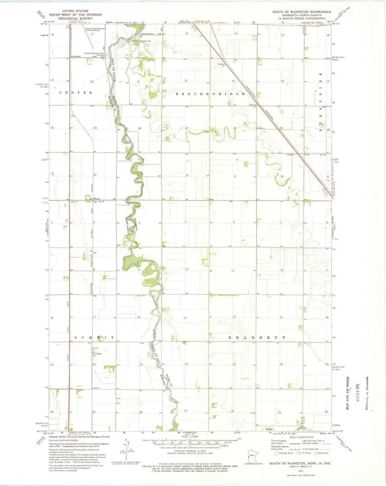
South of Wahpeton
1973
1:24k
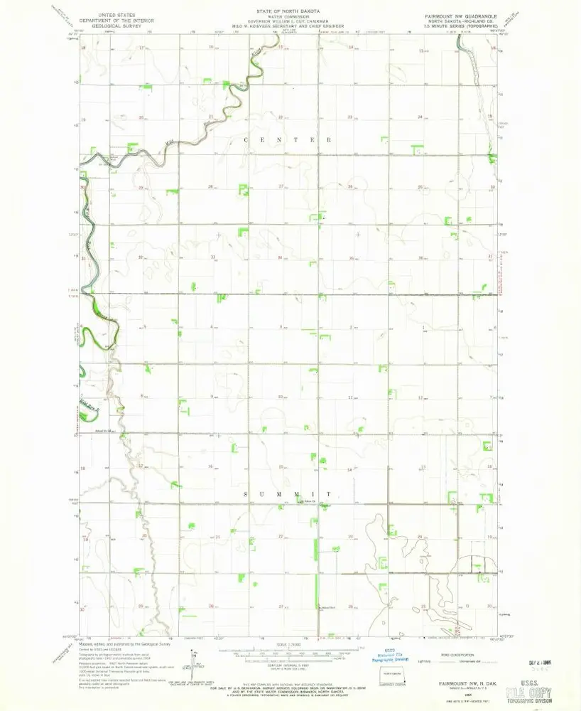
Fairmount NW
1964
1:24k
Geschichte