Project
Community
News
My App
My maps
Katalogisierte Karte
Stuart
View on external website
View digitized
Einrichtung:
United States Geological Survey
Vollständiger Titel:
Stuart
Jahr der Abbildung:
1962
Veröffentlichungsdatum:
1975
Maßstab der Karte:
1:24 000
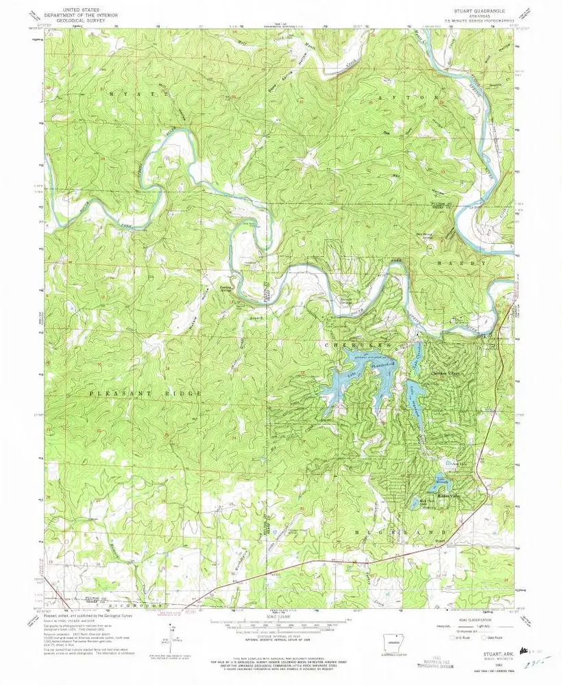
Stuart
1962
1:24k
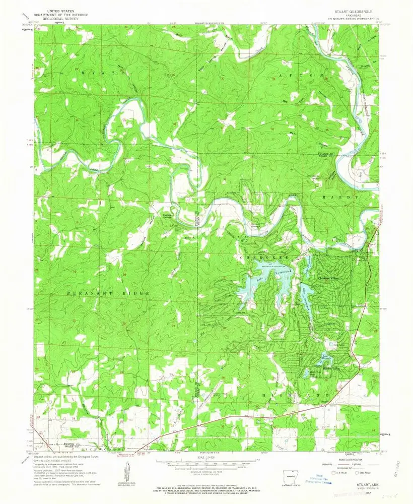
Stuart
1962
1:24k
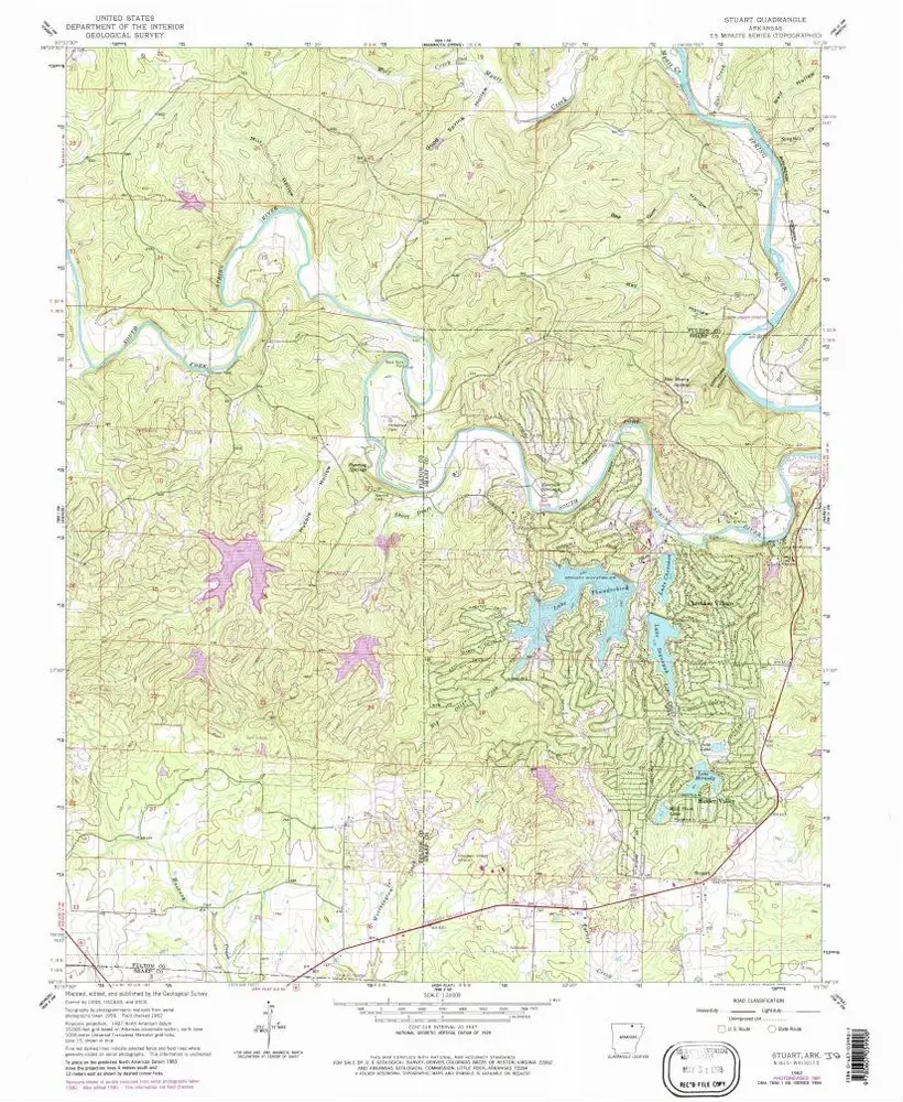
Stuart
1962
1:24k
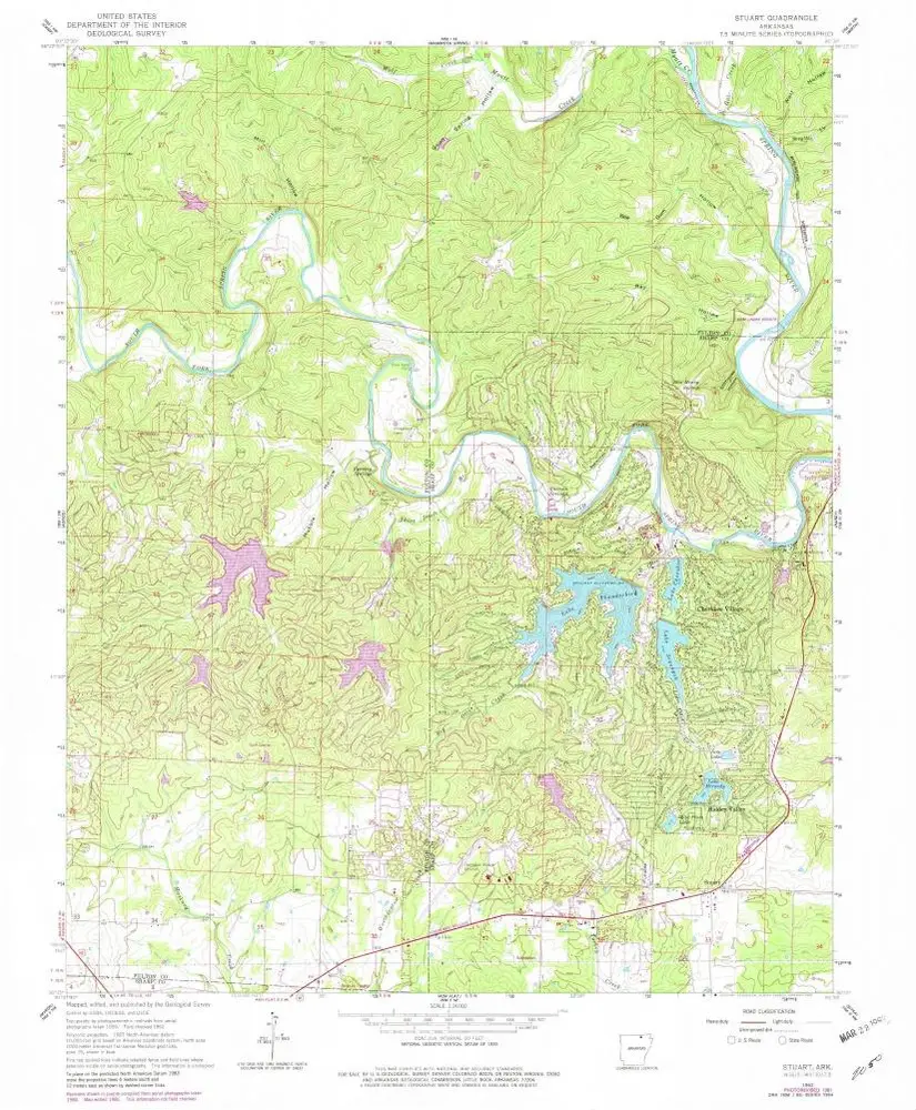
Stuart
1962
1:24k
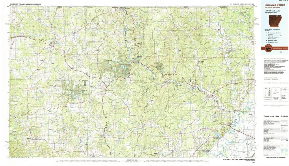
Cherokee Village
1983
1:100k
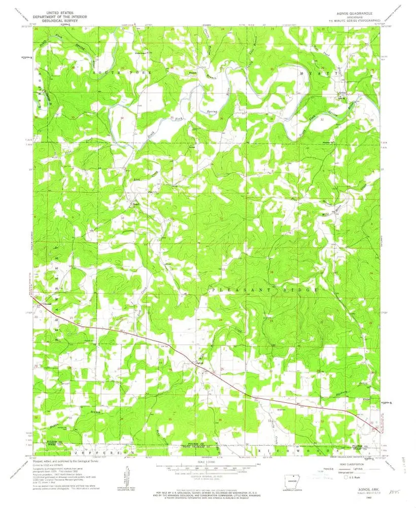
Agnos
1962
1:24k
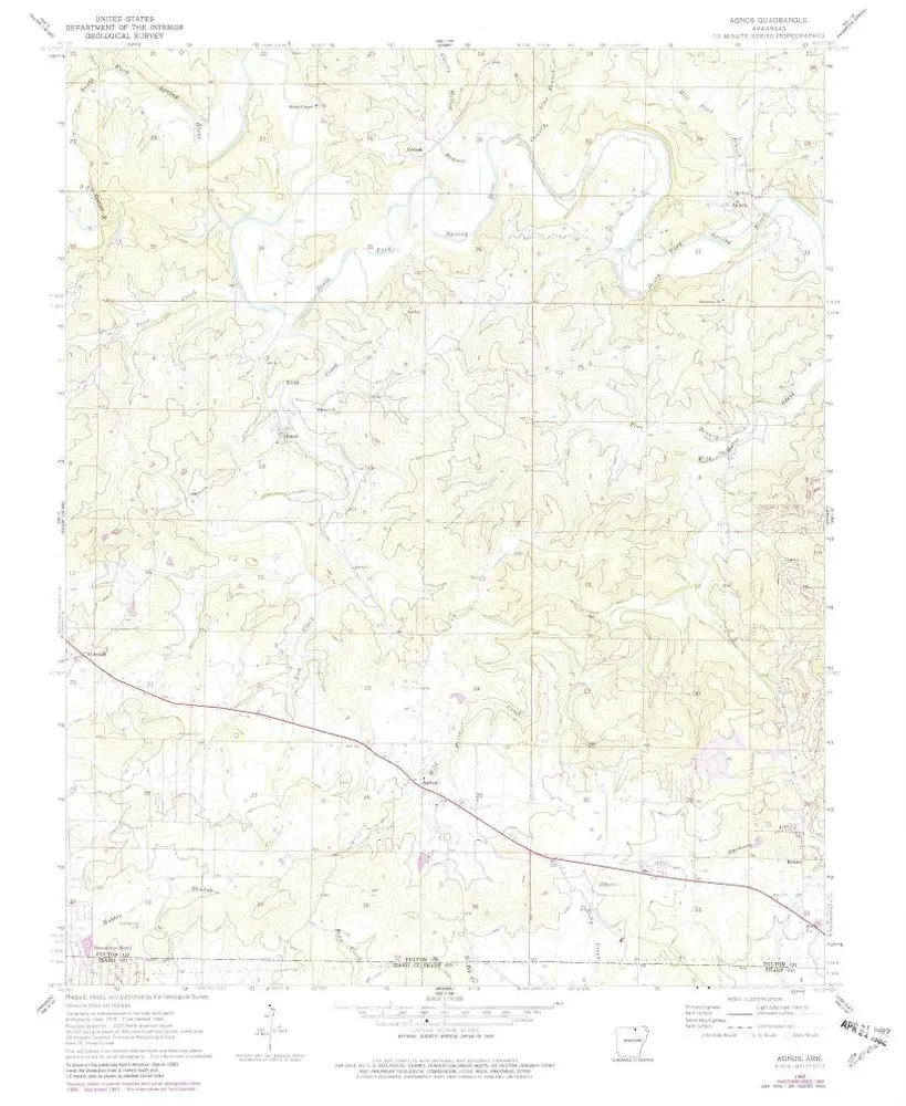
Agnos
1962
1:24k
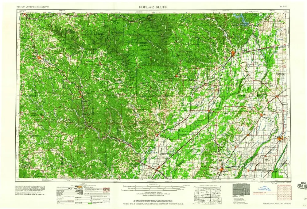
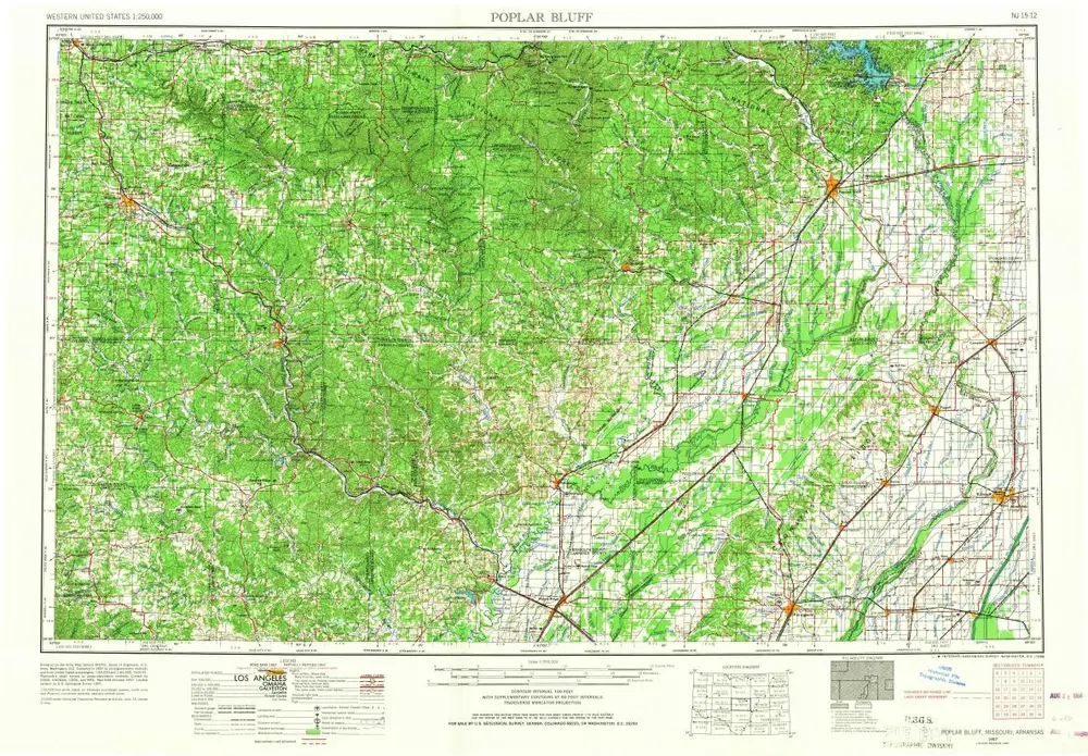
Poplar Bluff
1960
1:250k
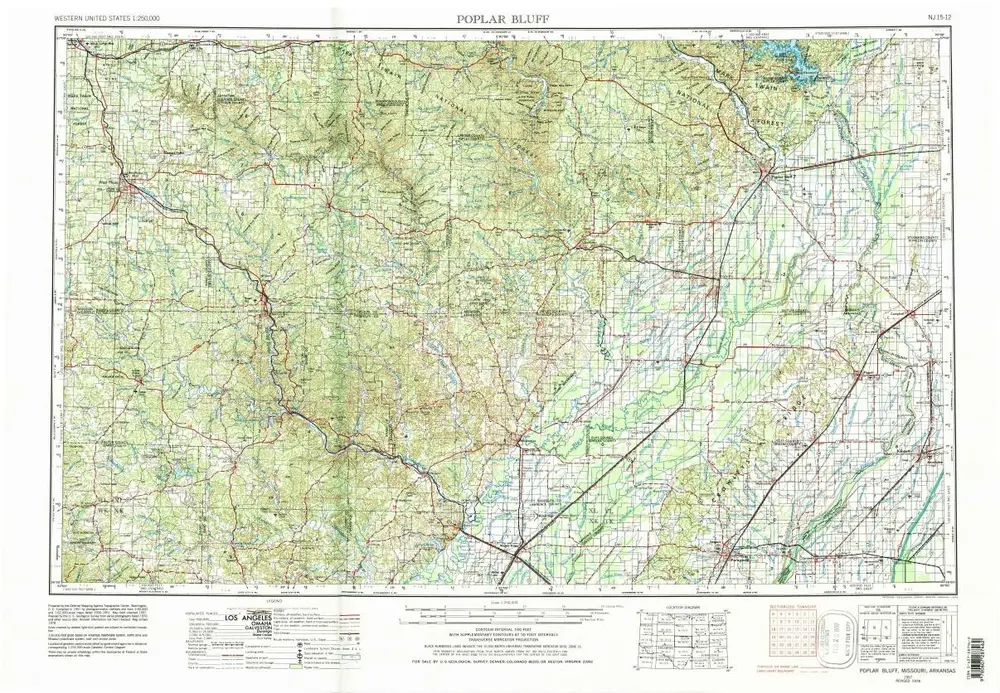
Poplar Bluff
1957
1:250k
Poplar Bluff
1957
1:250k
Geschichte