Project
Community
News
My App
My maps
Katalogisierte Karte
Fort Sill
View on external website
View digitized
Einrichtung:
United States Geological Survey
Vollständiger Titel:
Fort Sill
Jahr der Abbildung:
1956
Veröffentlichungsdatum:
1971
Maßstab der Karte:
1:24 000
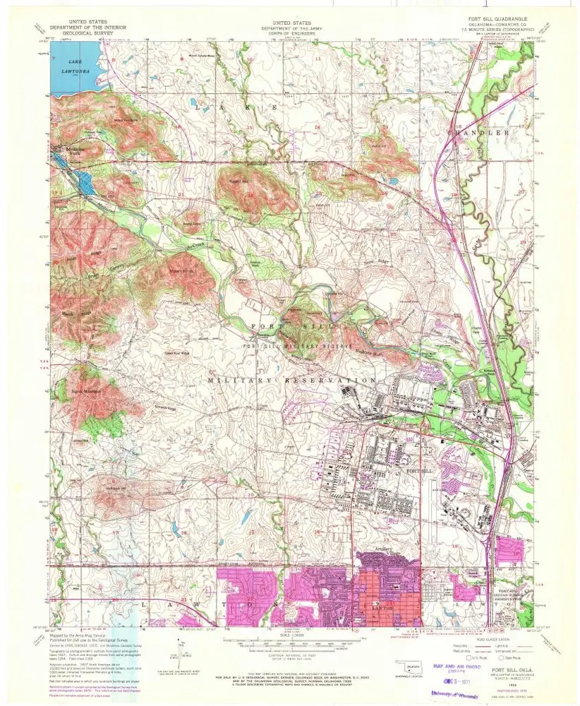
Fort Sill
1991
1:24k
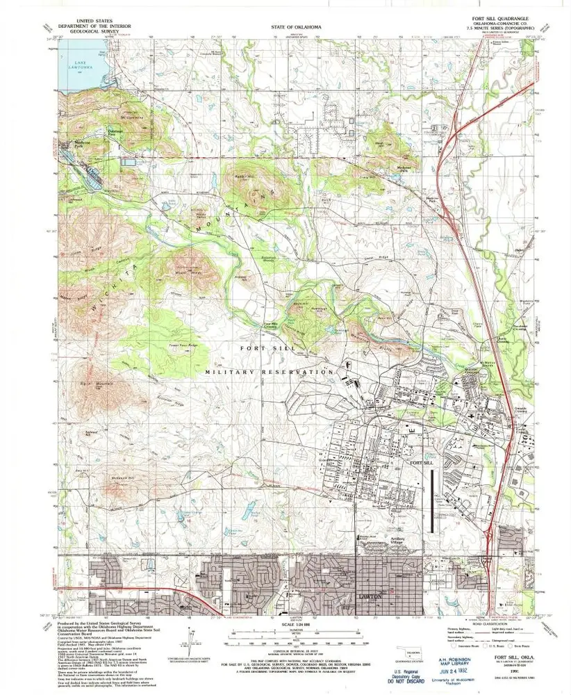
Fort Sill
1956
1:24k
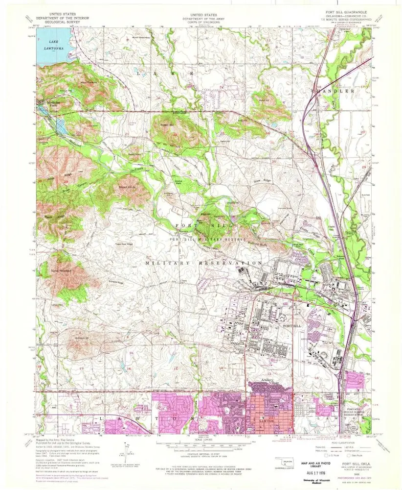
Fort Sill
1956
1:24k
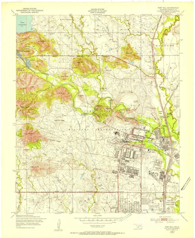
Fort Sill
1949
1:24k
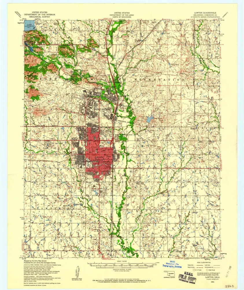
Lawton
1956
1:63k
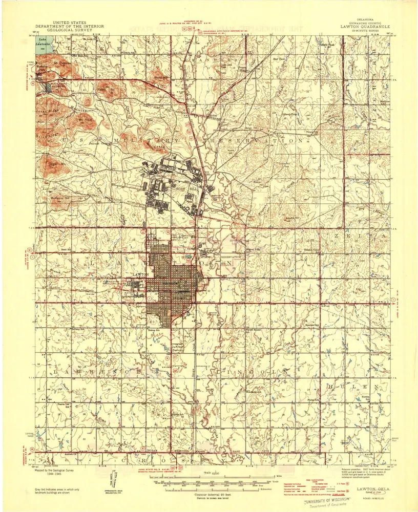
Lawton
1946
1:63k
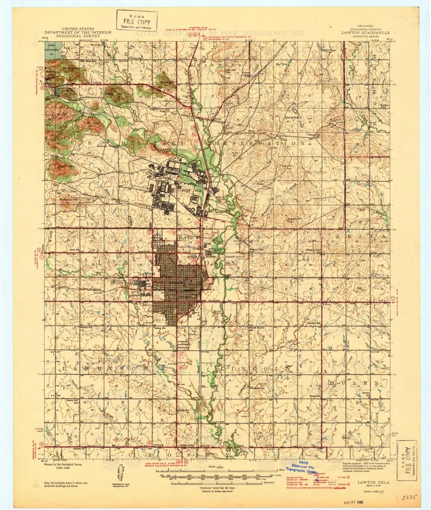
Lawton
1946
1:63k
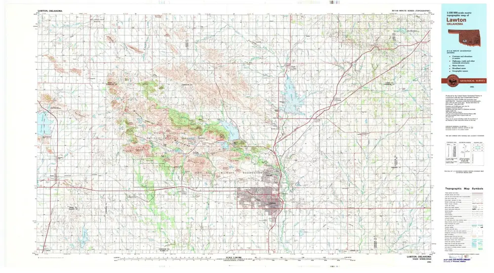
Lawton
1981
1:100k
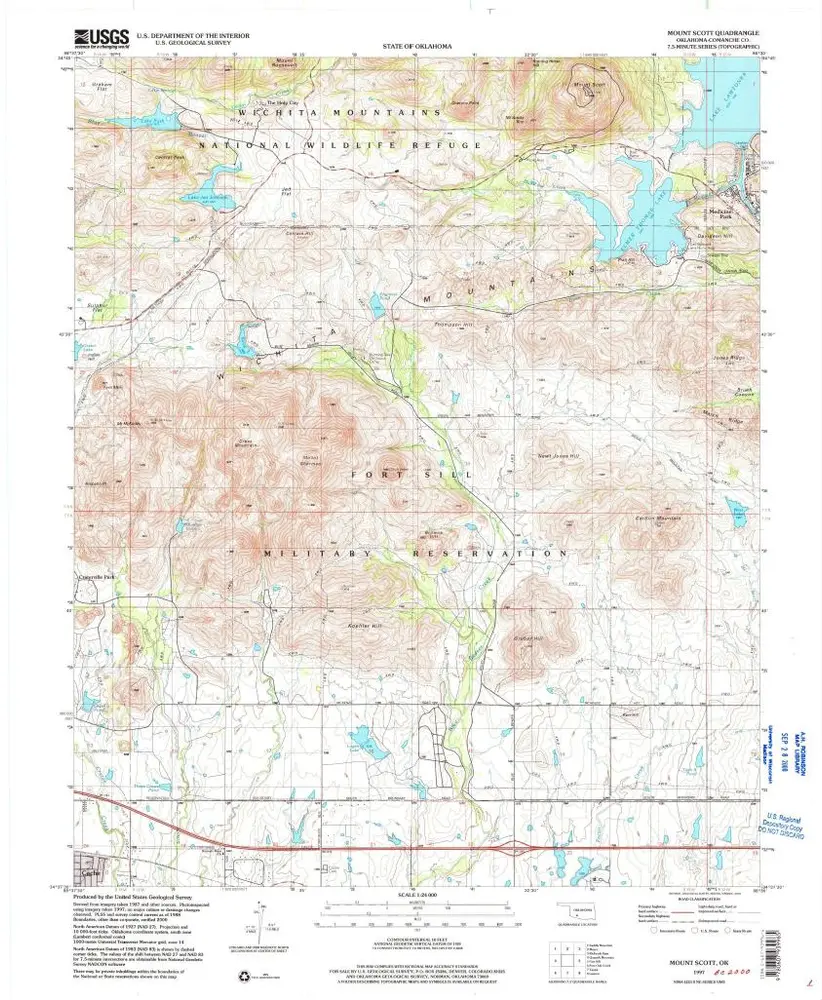
Mount Scott
1997
1:24k
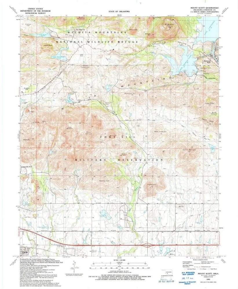
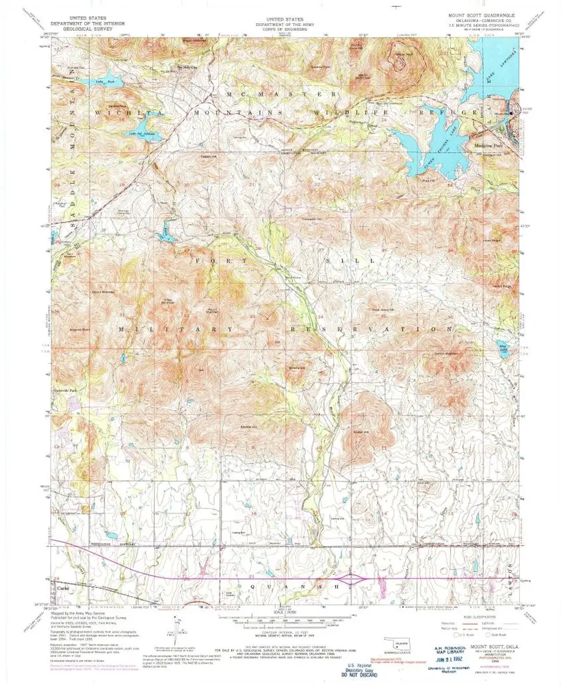
Mount Scott
1991
1:24k
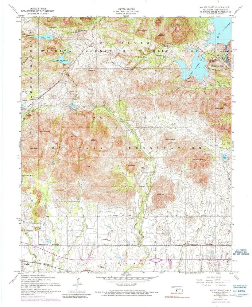
Mount Scott
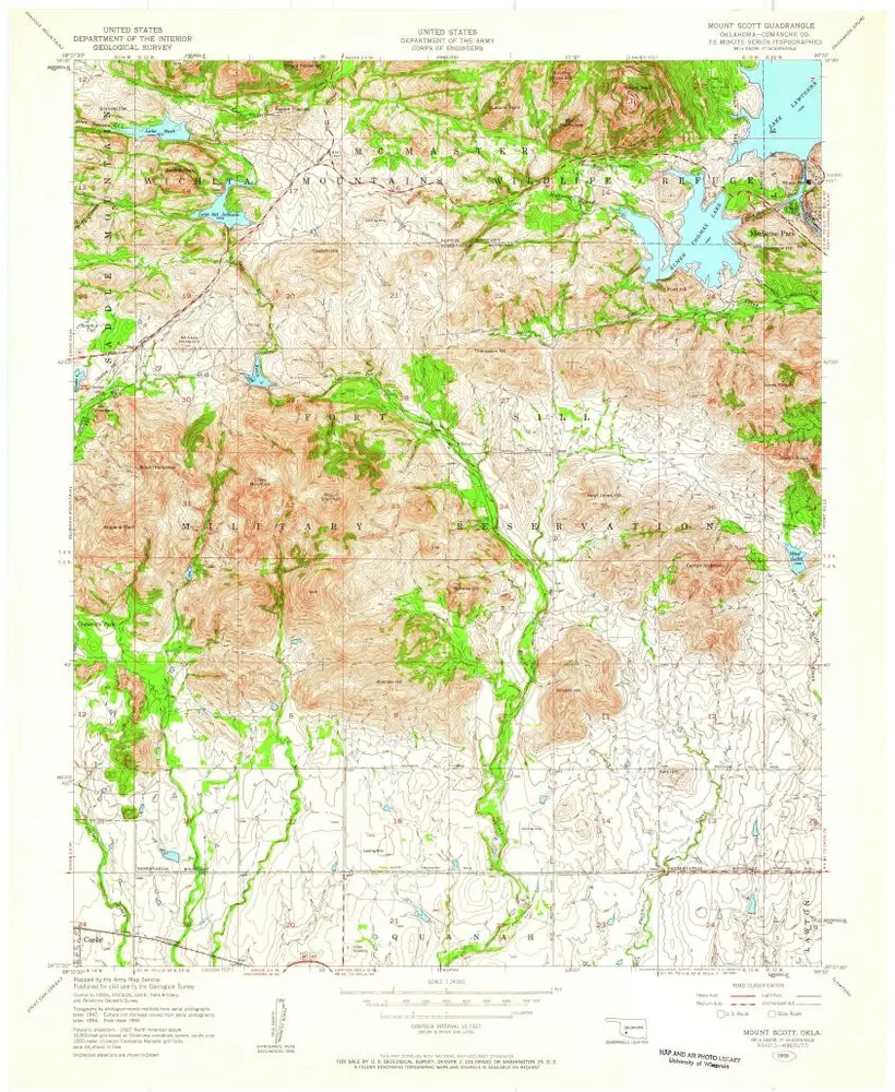
1956
1:24k
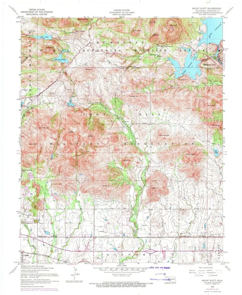
Mount Scott
1956
1:24k
Mount Scott
1956
1:24k
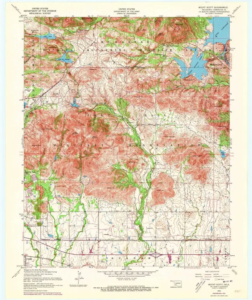
Mount Scott
1956
1:24k
Mount Scott
1956
1:24k
Mount Scott
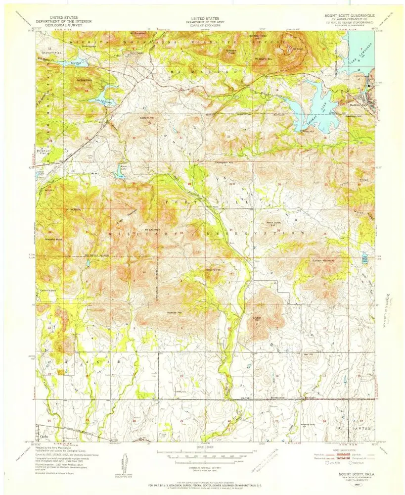
1949
1:24k
Geschichte