Project
Community
News
My App
My maps
Katalogisierte Karte
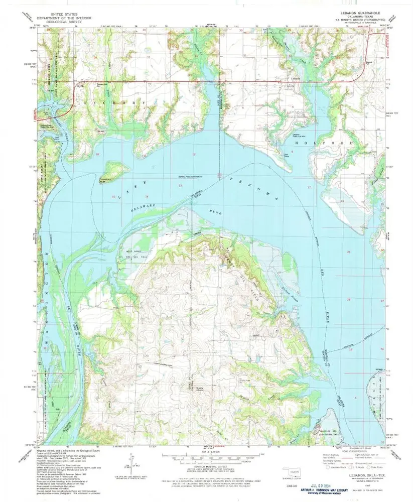
Lebanon
View on external website
View digitized
Einrichtung:
United States Geological Survey
Vollständiger Titel:
Lebanon
Jahr der Abbildung:
1982
Veröffentlichungsdatum:
1983
Maßstab der Karte:
1:24 000
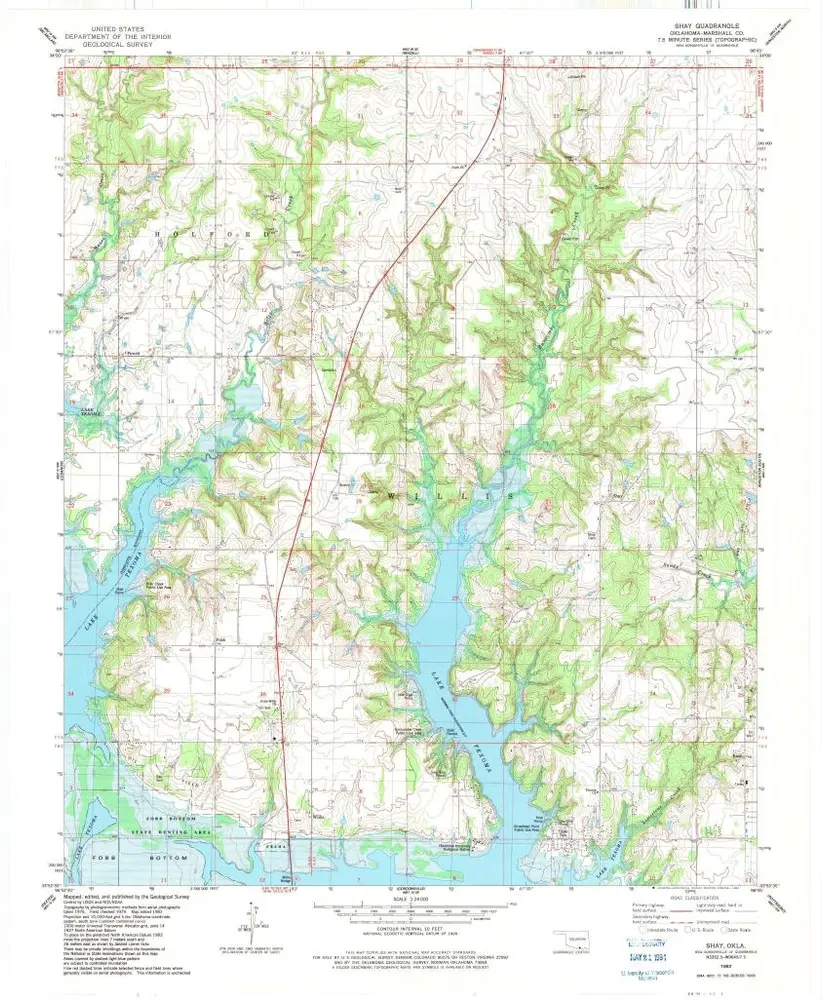
Shay
1982
1:24k
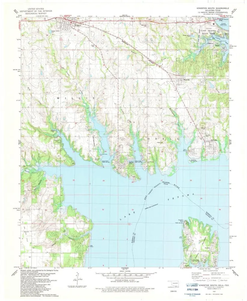
Kingston South
1982
1:24k
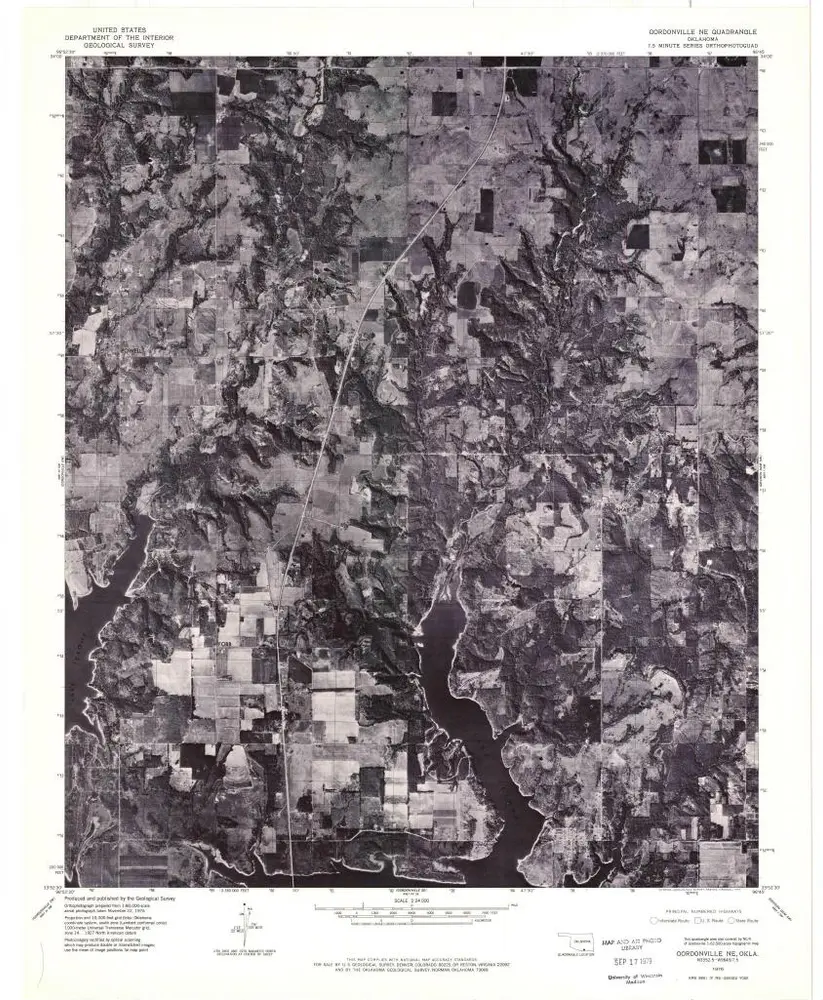
Gordonville NE
1976
1:24k
Tishomingo SW
1967
1:24k
Madill
1963
1:24k
Madill
1963
1:24k
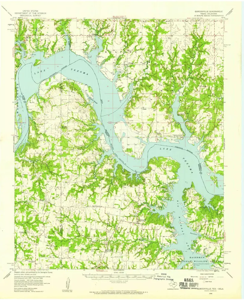
Gordonville
1958
1:63k
Gordonville
1958
1:63k
Lebanon
1982
1:24k
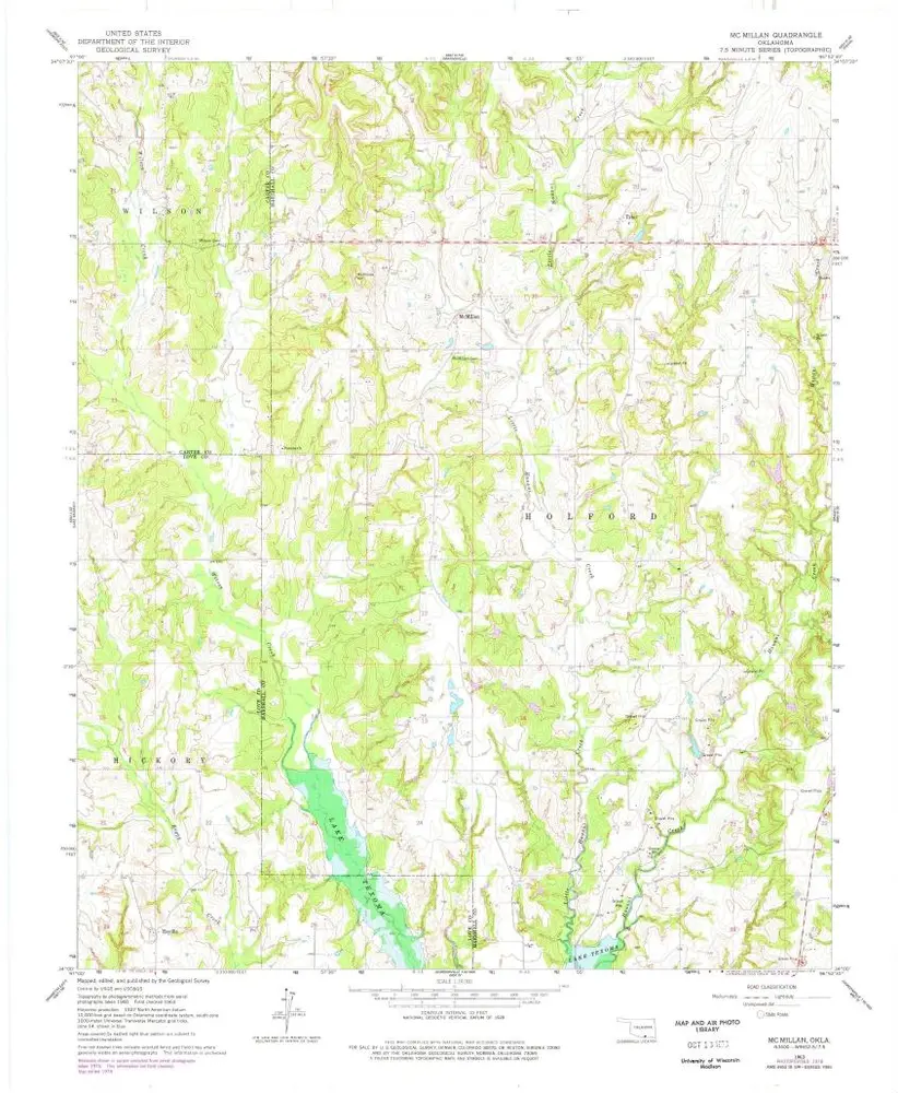
Mc Millan
1963
1:24k
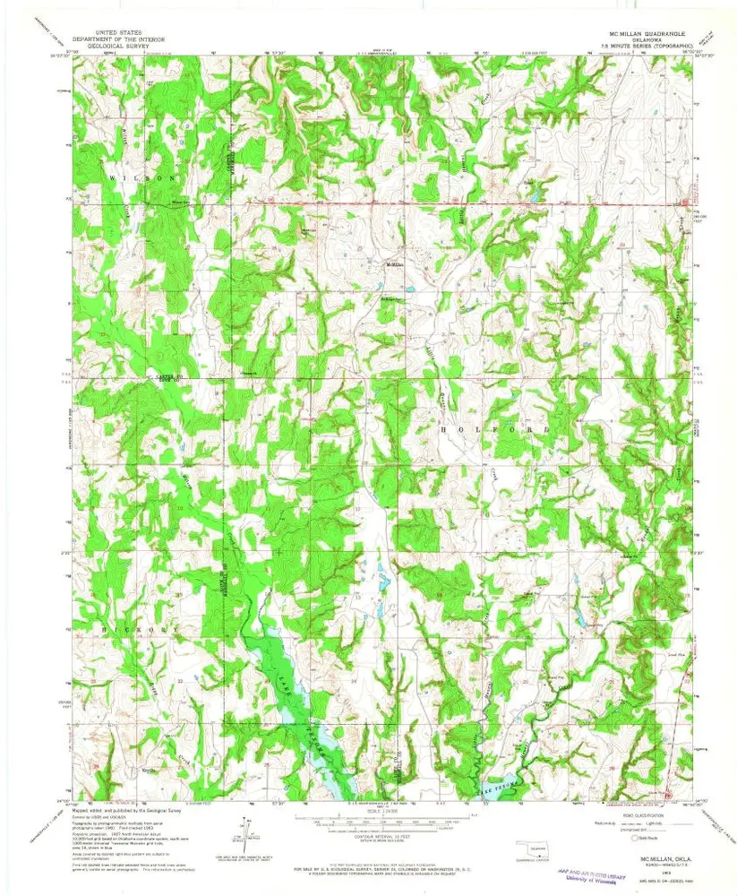
Mc Millan
1963
1:24k
Geschichte