Project
Community
News
My App
My maps
Cataloged map
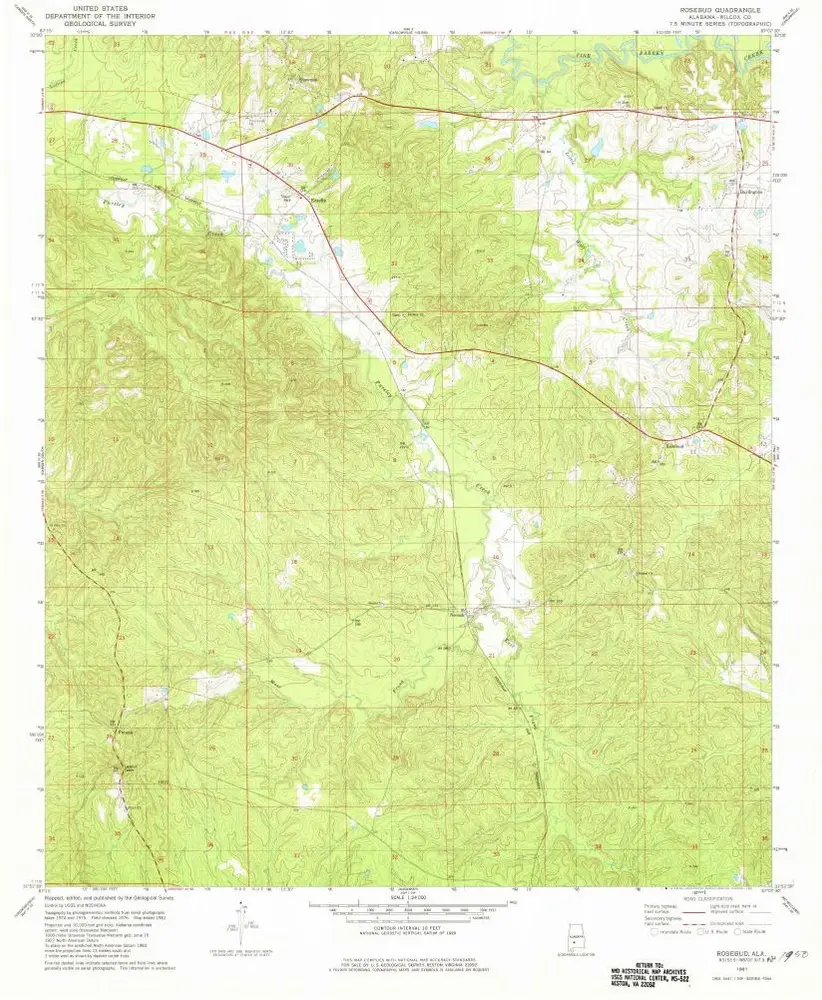
Rosebud
View on external website
View digitized
Institution:
United States Geological Survey
Full title:
Rosebud
Depicted:
1981
Pubdate:
1981
Map scale:
1:24 000
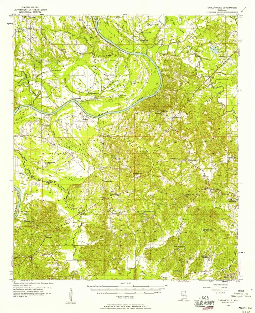
Carlowville
1957
1:63k
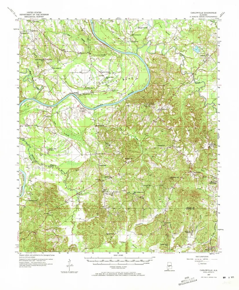
Carlowville
1957
1:63k
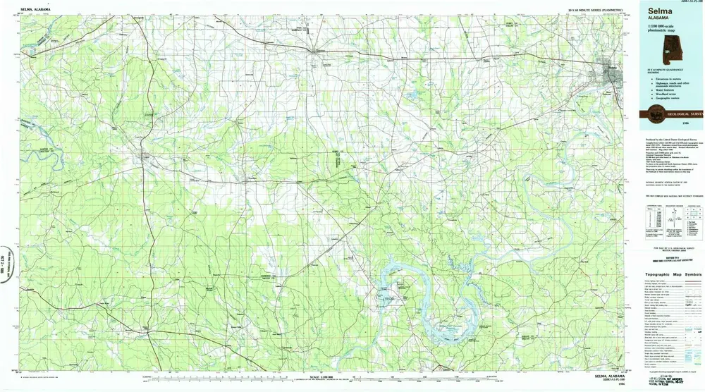
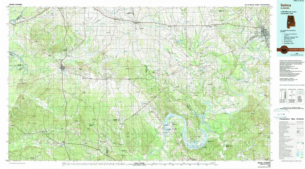
Selma
1986
1:100k
Selma
1986
1:100k
Rosebud
1981
1:24k
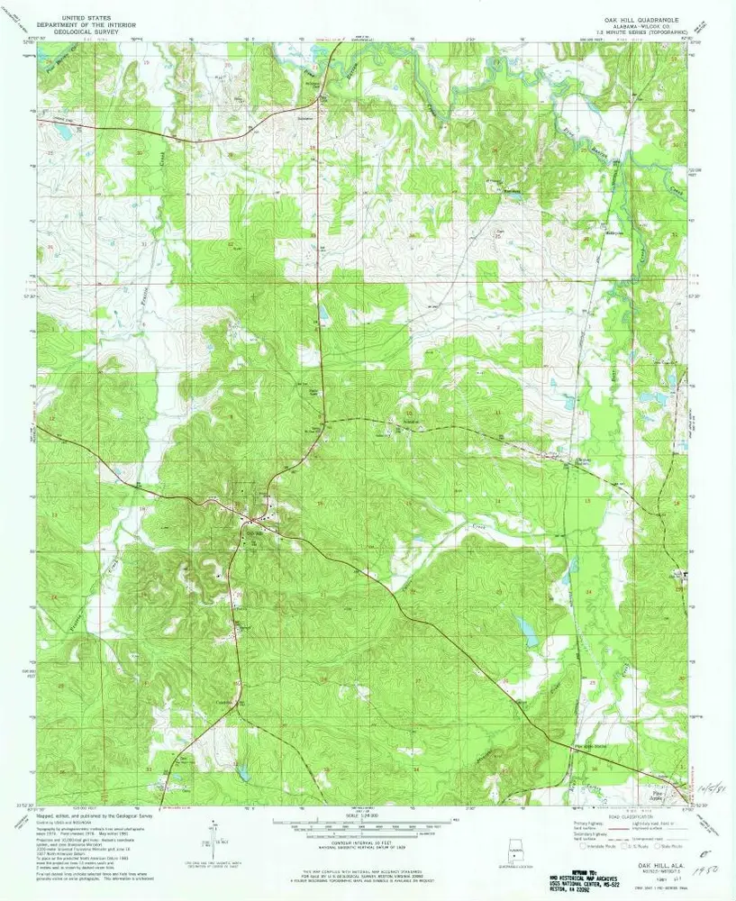
Oak Hill
1981
1:24k
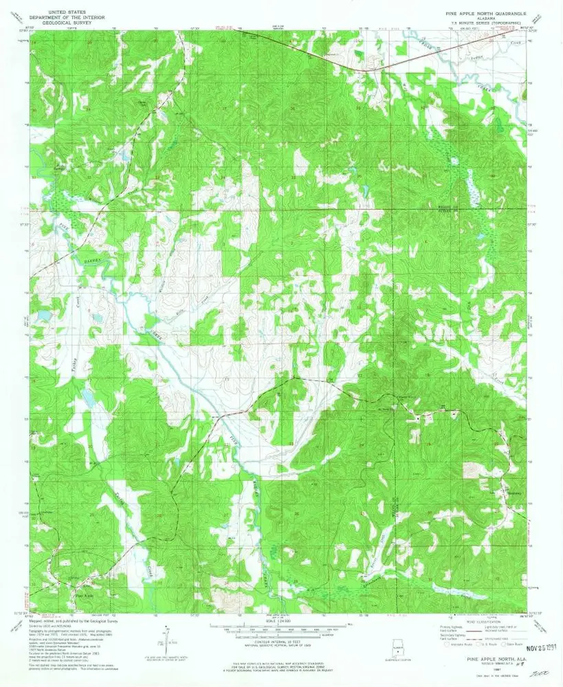
Pine Apple North
1981
1:24k
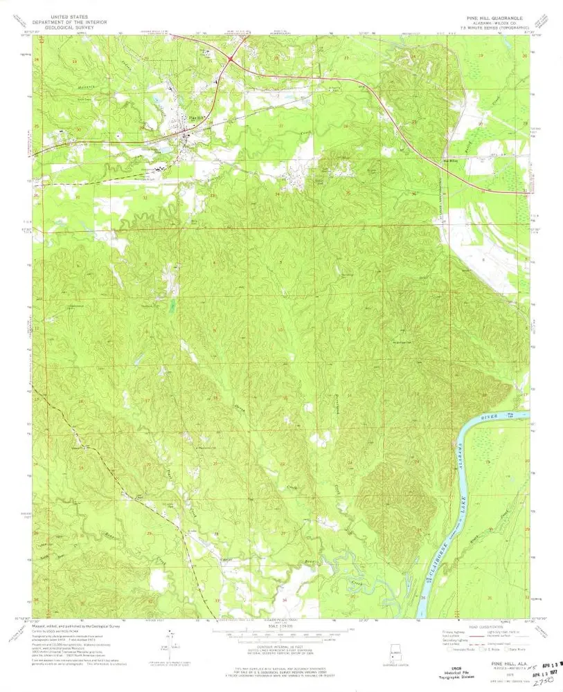
Pine Hill
1973
1:24k
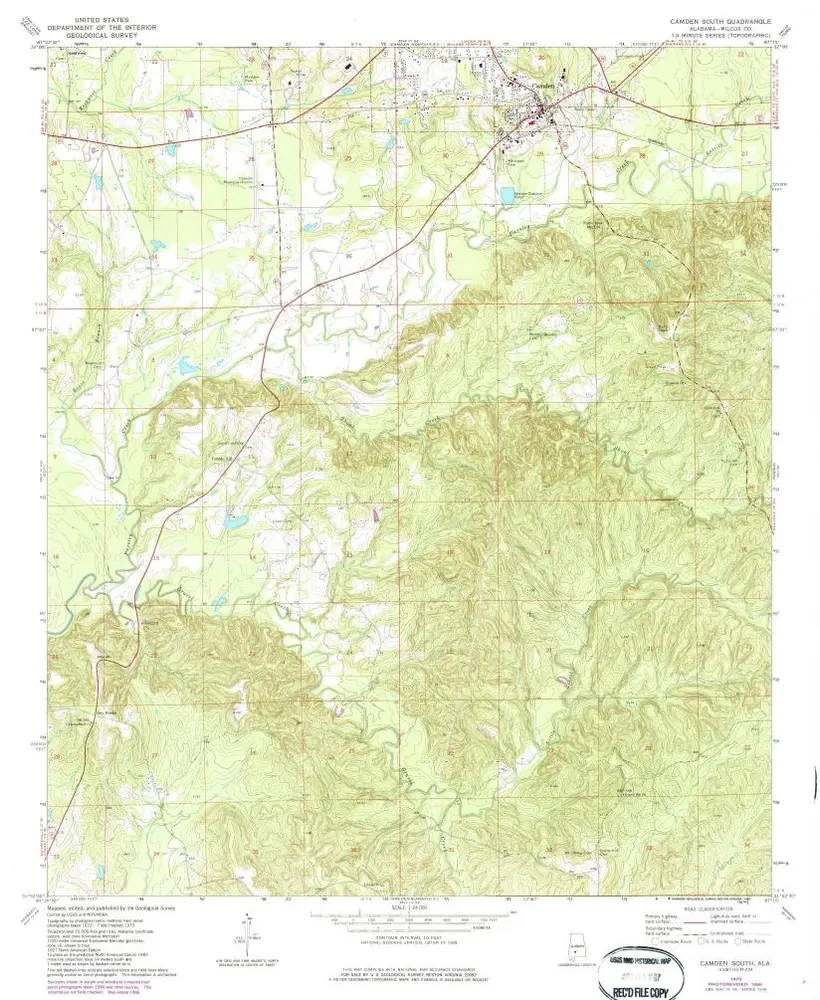
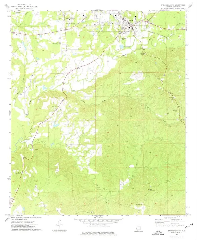
Camden South
1973
1:24k
Camden South
1973
1:24k
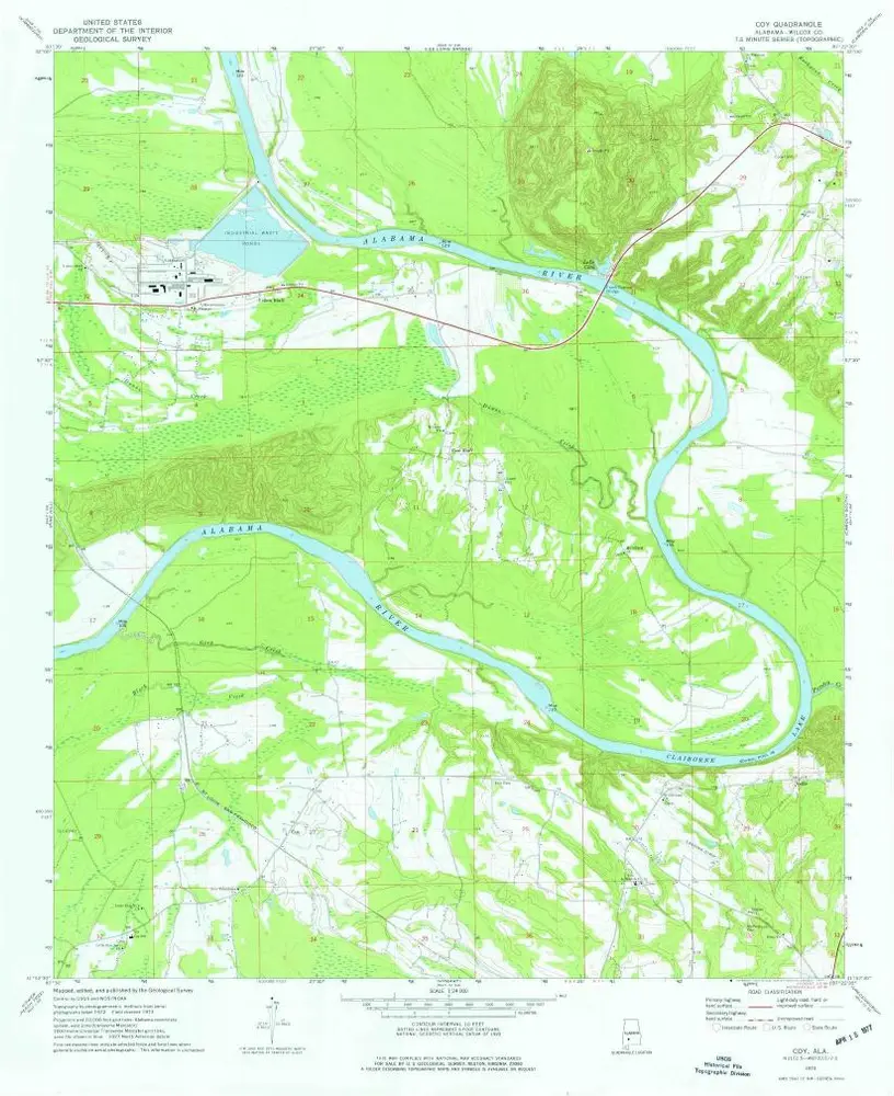
Coy
1973
1:24k
History