Project
Community
News
My App
My maps
Cataloged map
Sansbois
View on external website
View digitized
Institution:
United States Geological Survey
Full title:
Sansbois
Depicted:
1911
Map scale:
1:125 000
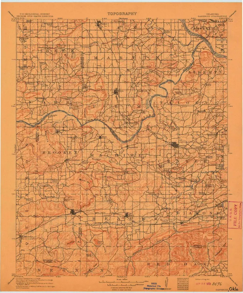
Sans Bois
1911
1:125k
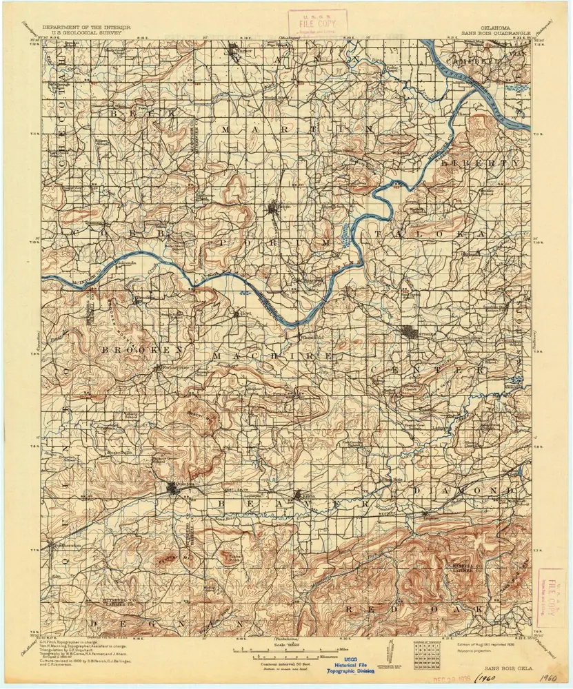
Sansbois
1911
1:125k
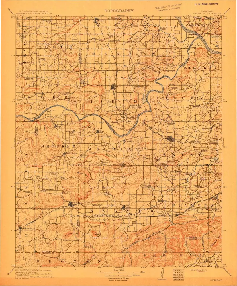
Sansbois
1911
1:125k
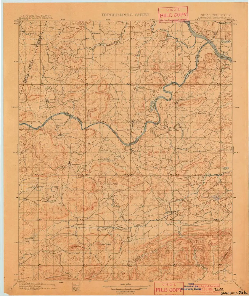
Sansbois
1900
1:125k
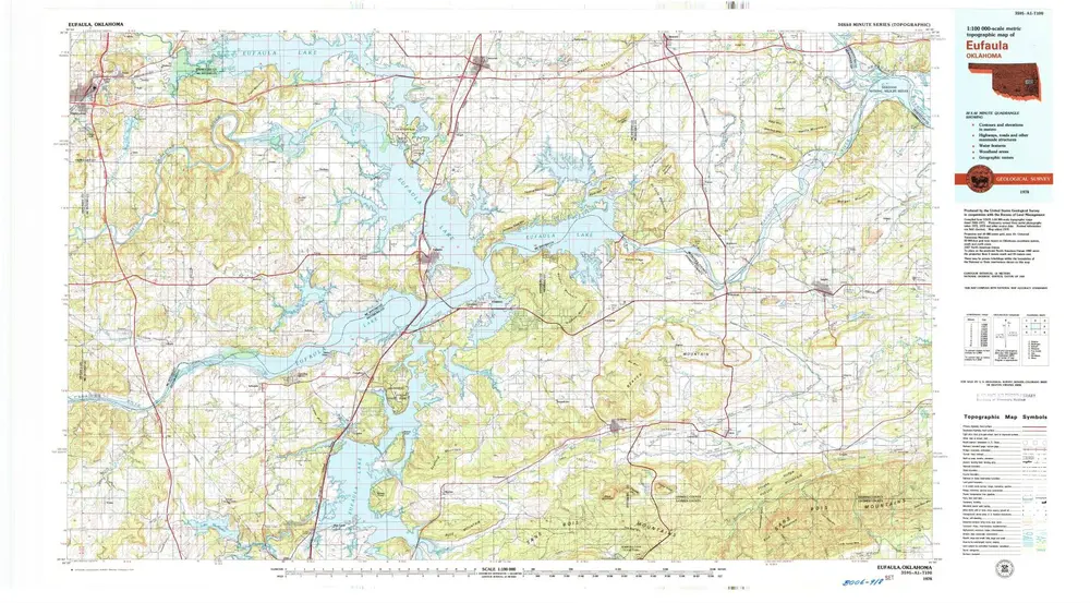
Eufaula
1978
1:100k
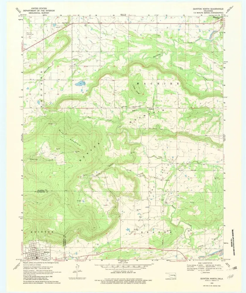
Quinton North
1969
1:24k
Quinton North
1969
1:24k
Sans Bois
1969
1:24k
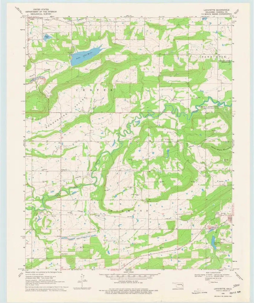
Lafayette
1968
1:24k
Mc Curtain
1968
1:24k
History