Project
Community
News
My App
My maps
Carte cataloguée
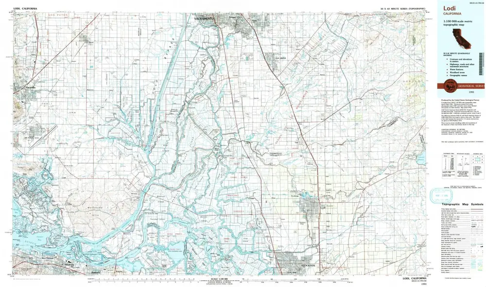
Lodi
View on external website
Institution:
United States Geological Survey
Titre complet:
Lodi
Année de l'image:
1993
Date de publication:
1994
Échelle de la carte:
1:100 000
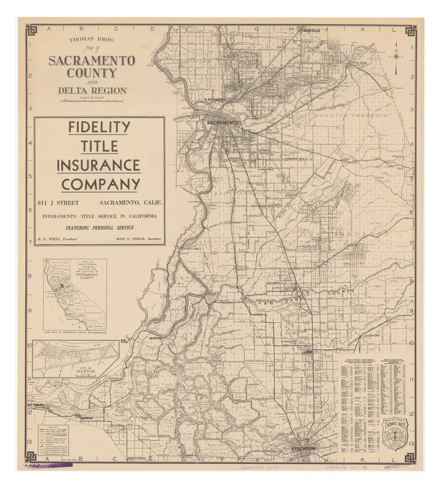
Map of Sacramento County and Delta region
1945
Freese, Harry.
1:118k
Lodi
1993
1:100k
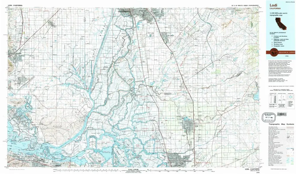
Lodi
1993
1:100k
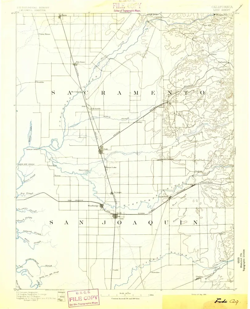
Lodi
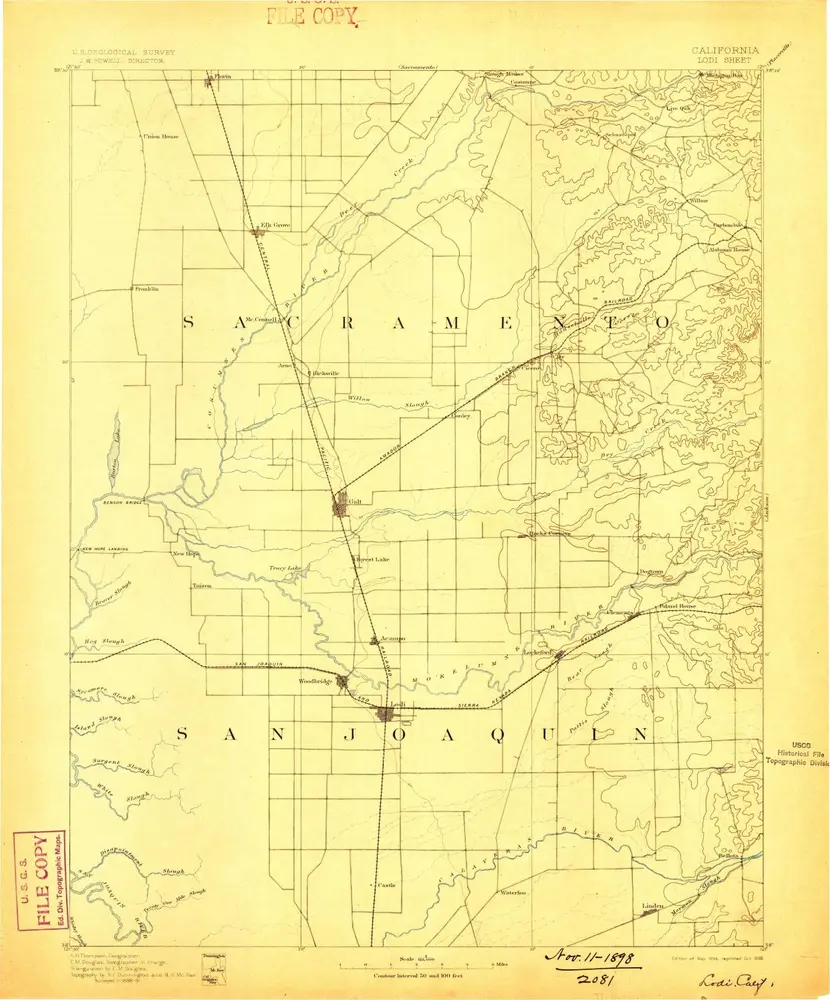
1894
1:125k
Lodi
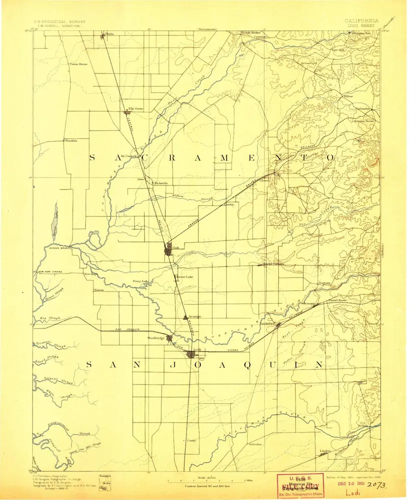
1894
1:125k
Lodi
1894
1:125k
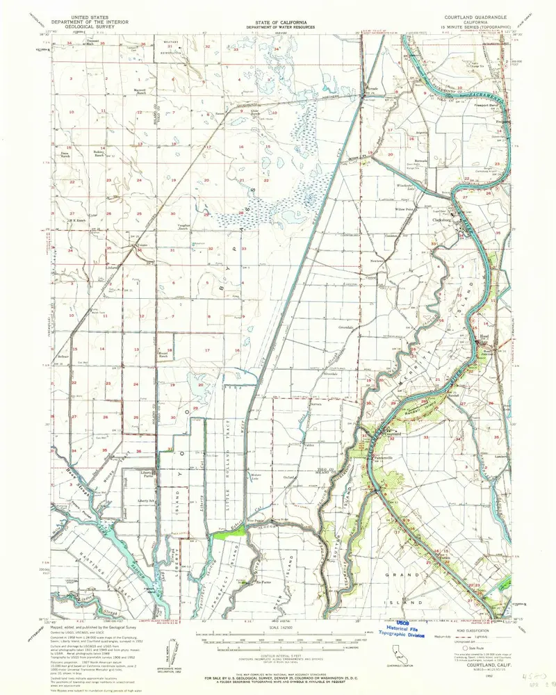
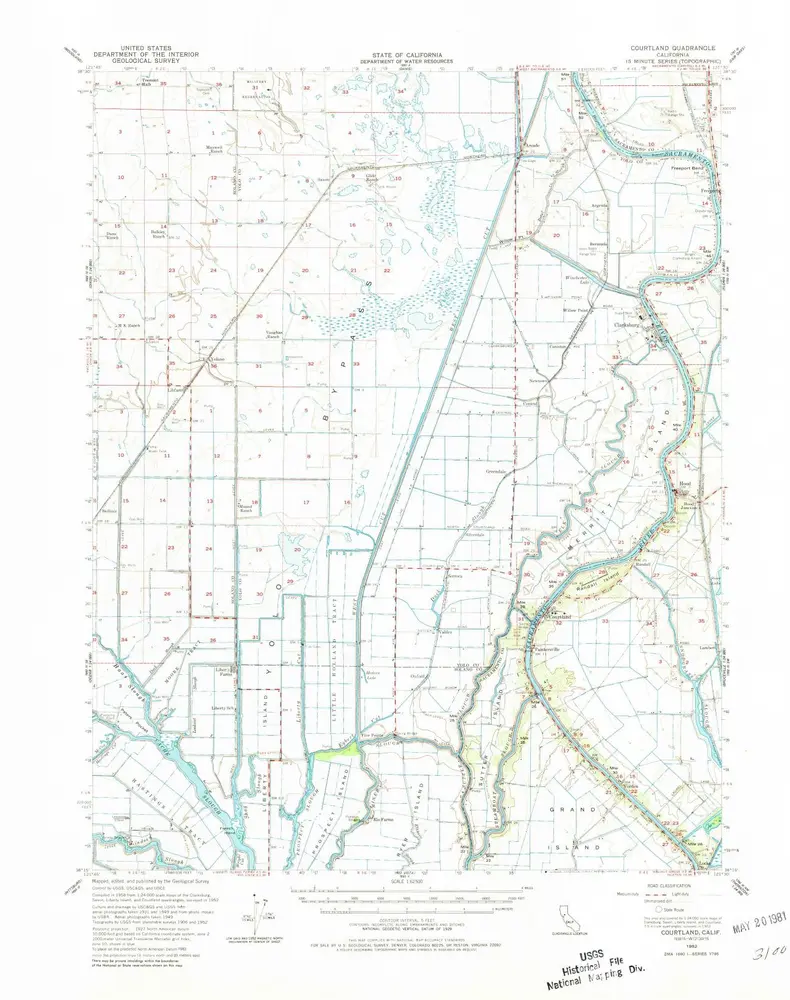
Courtland
1952
1:63k
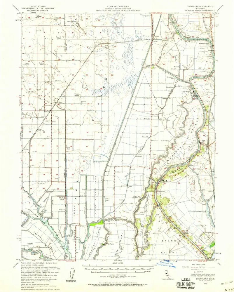
Courtland
1952
1:63k
Courtland
1952
1:63k
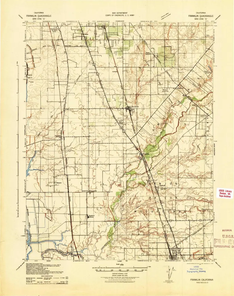
Franklin
1941
1:63k
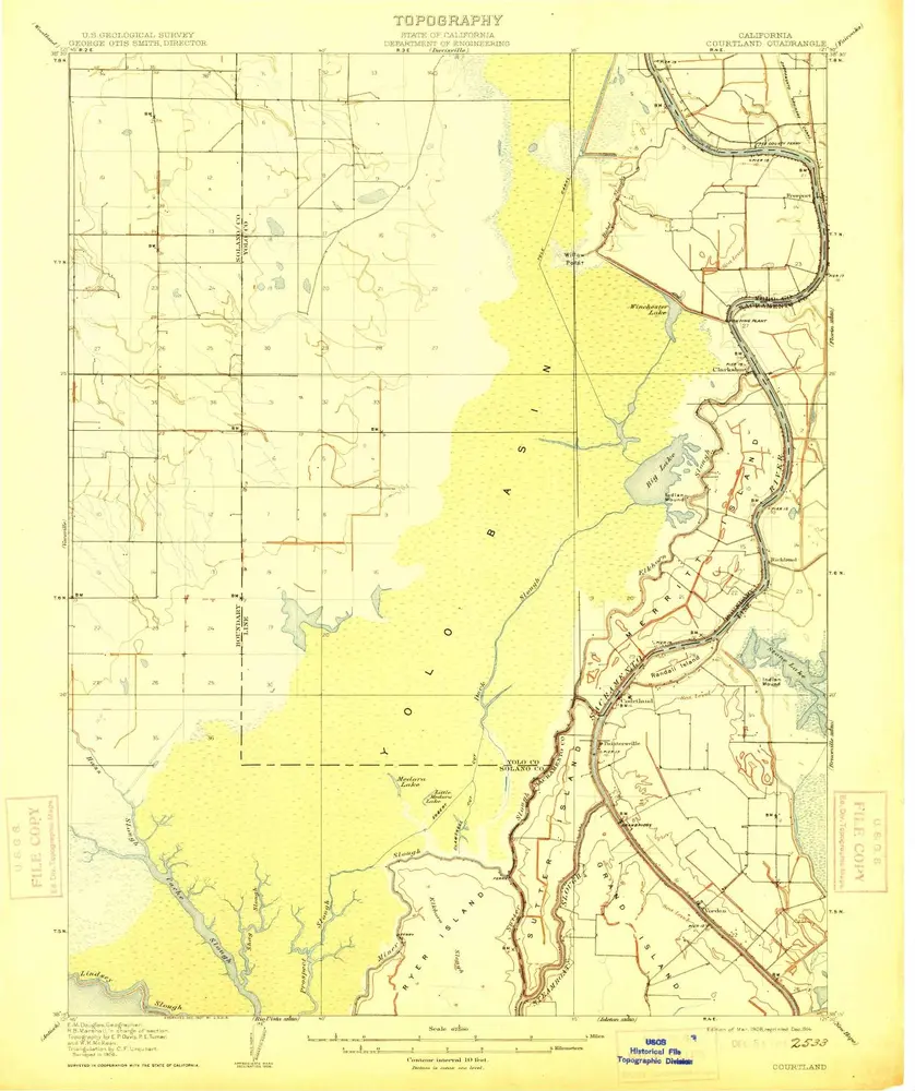
Courtland
1908
1:63k
L'histoire