Project
Community
News
My App
My maps
Carte cataloguée
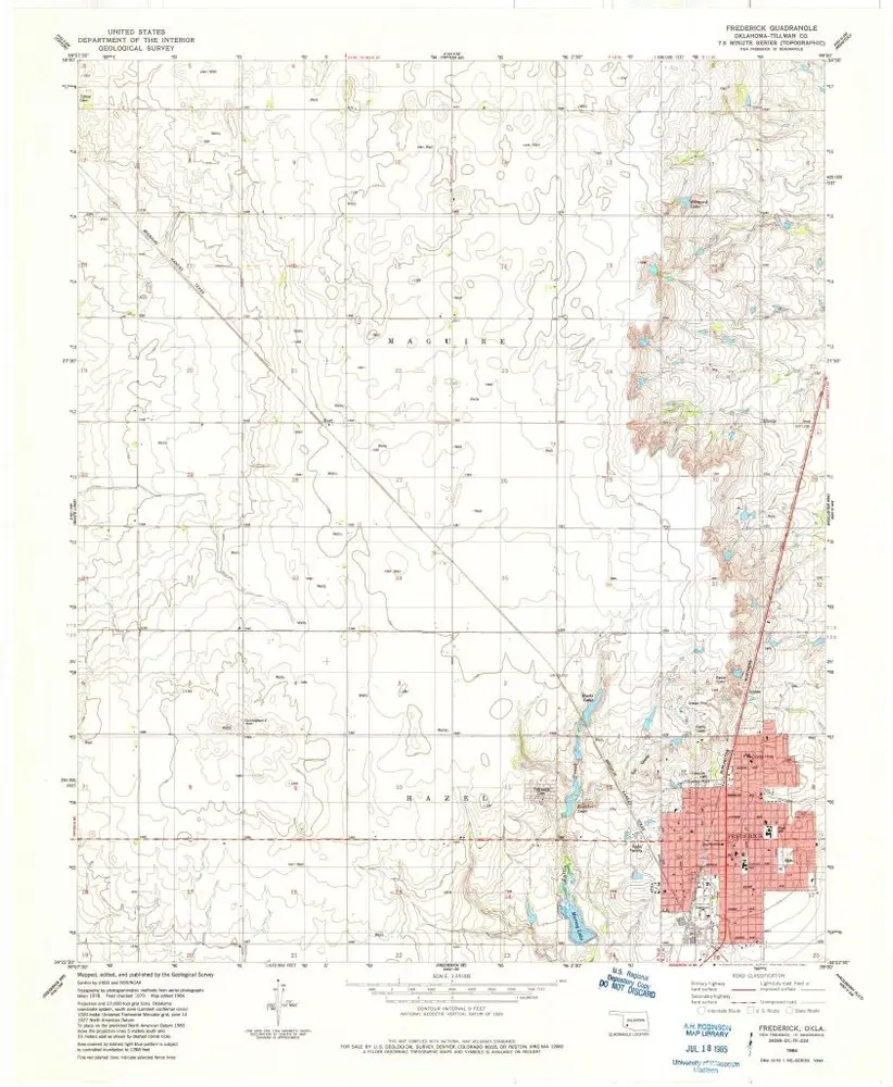
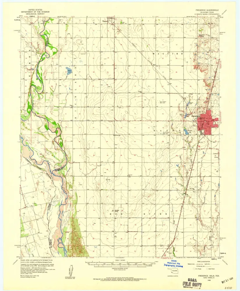
Frederick
View on external website
Institution:
United States Geological Survey
Titre complet:
Frederick
Année de l'image:
1984
Date de publication:
1985
Échelle de la carte:
1:24 000
Frederick
1958
1:63k
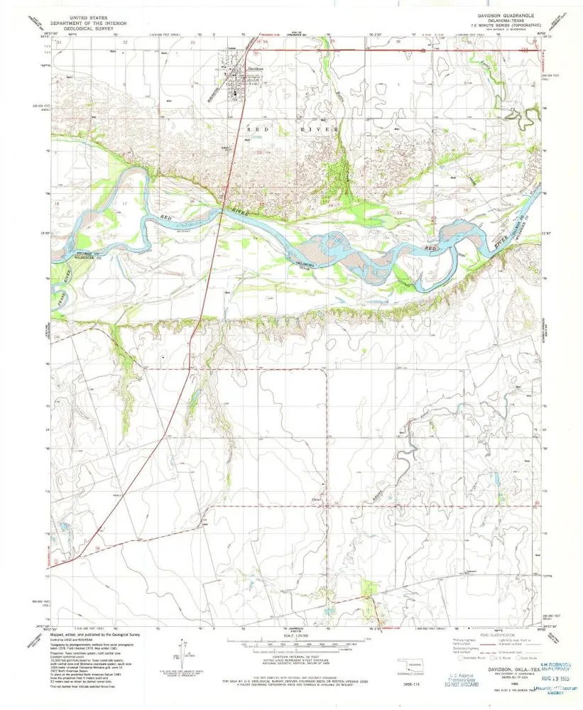
Davidson
1985
1:24k
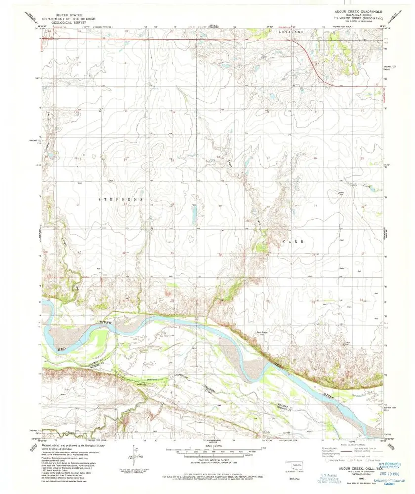
Augur Creek
1985
1:24k
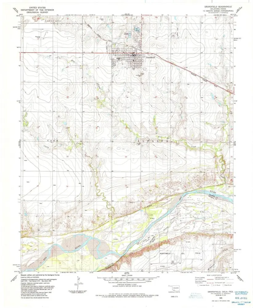
Grandfield
1985
1:24k
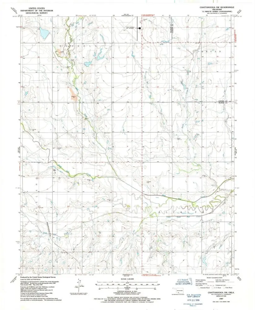
Chattanooga SW
1987
1:24k
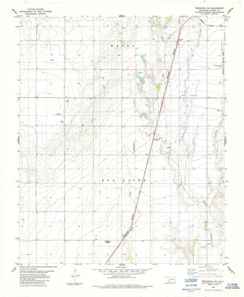
Frederick SE
1984
1:24k
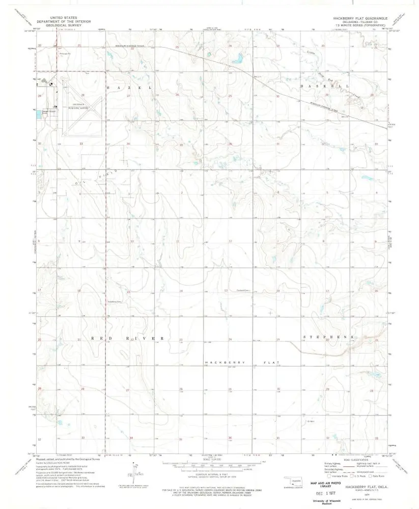
Hackberry Flat
1974
1:24k
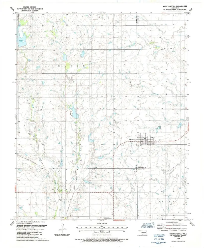
Chattanooga
1987
1:24k
Frederick
1984
1:24k
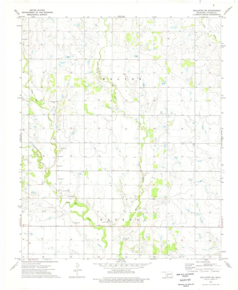
Hollister NE
1974
1:24k
L'histoire