Project
Community
News
My App
My maps
Katalogisierte Karte
Lubbock East
View on external website
View digitized
Einrichtung:
United States Geological Survey
Vollständiger Titel:
Lubbock East
Jahr der Abbildung:
1957
Veröffentlichungsdatum:
1977
Maßstab der Karte:
1:24 000
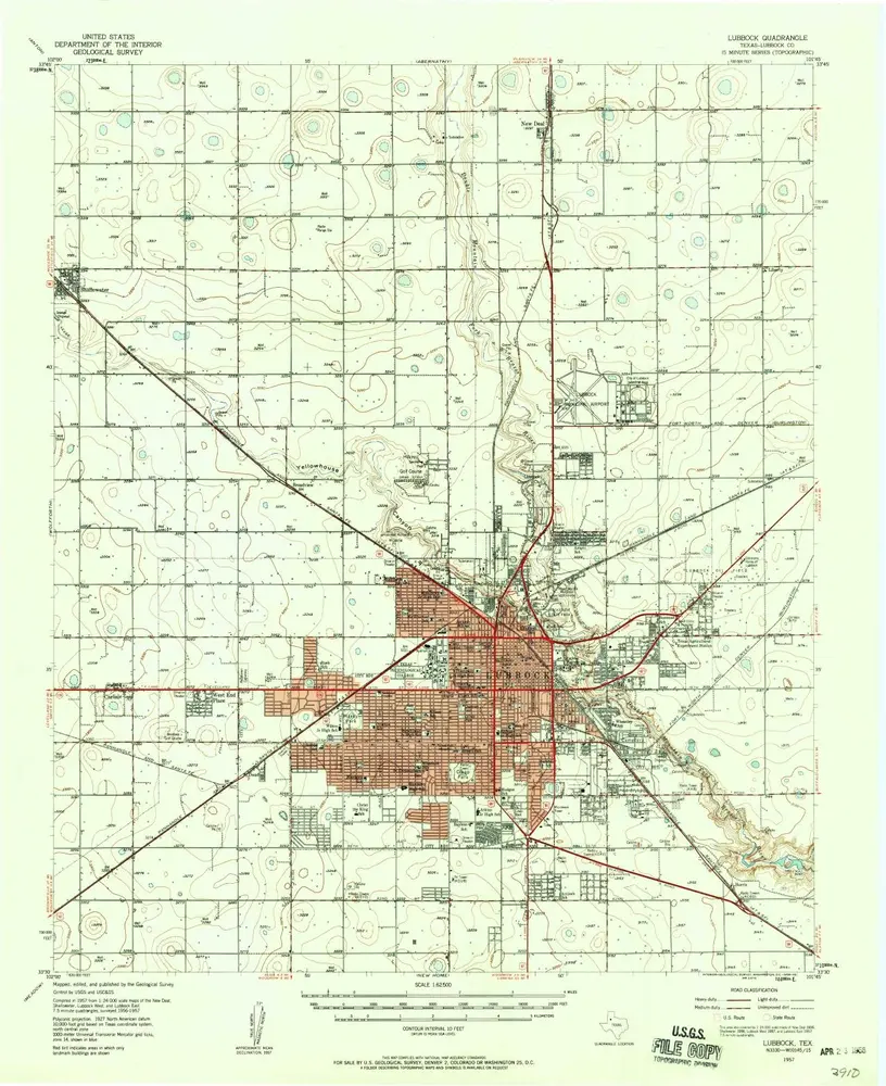
Lubbock
1957
1:63k
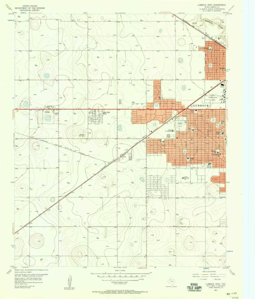
Lubbock West
1957
1:24k
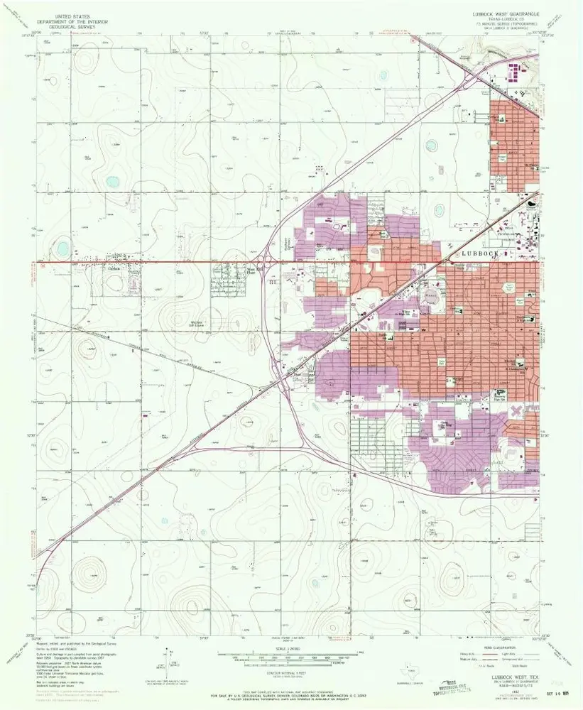
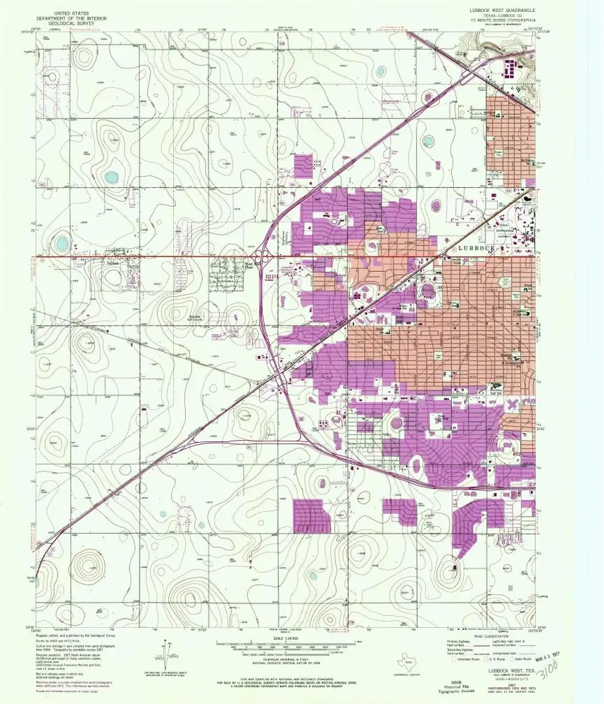
Lubbock West
1957
1:24k
Lubbock West
1957
1:24k
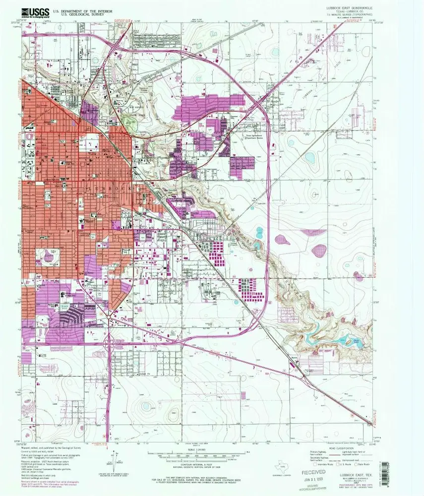
Lubbock East
1957
1:24k
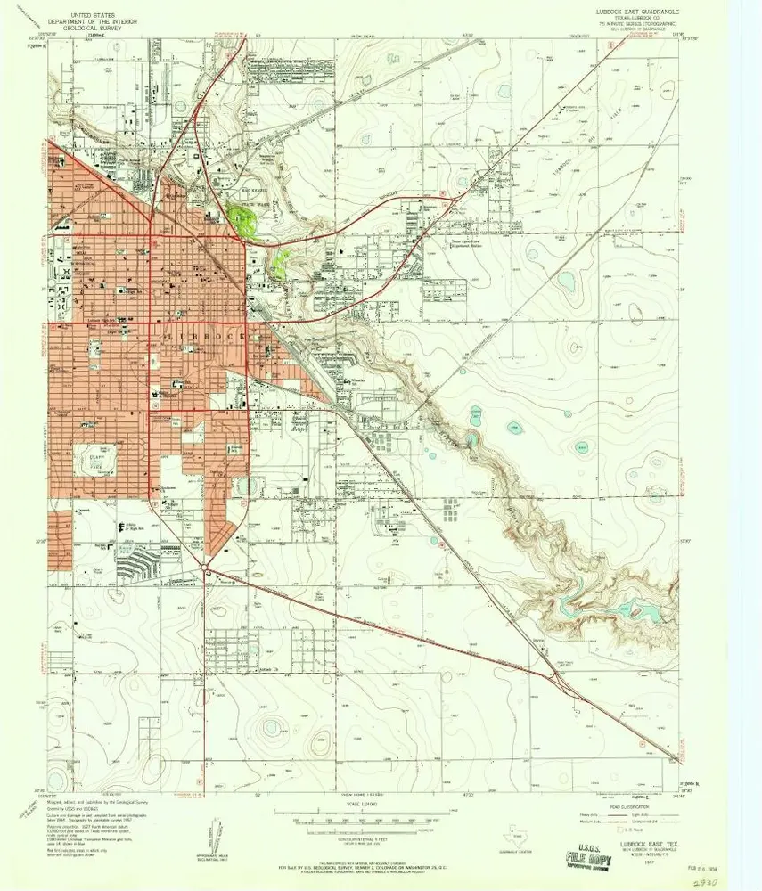
Lubbock East
1957
1:24k
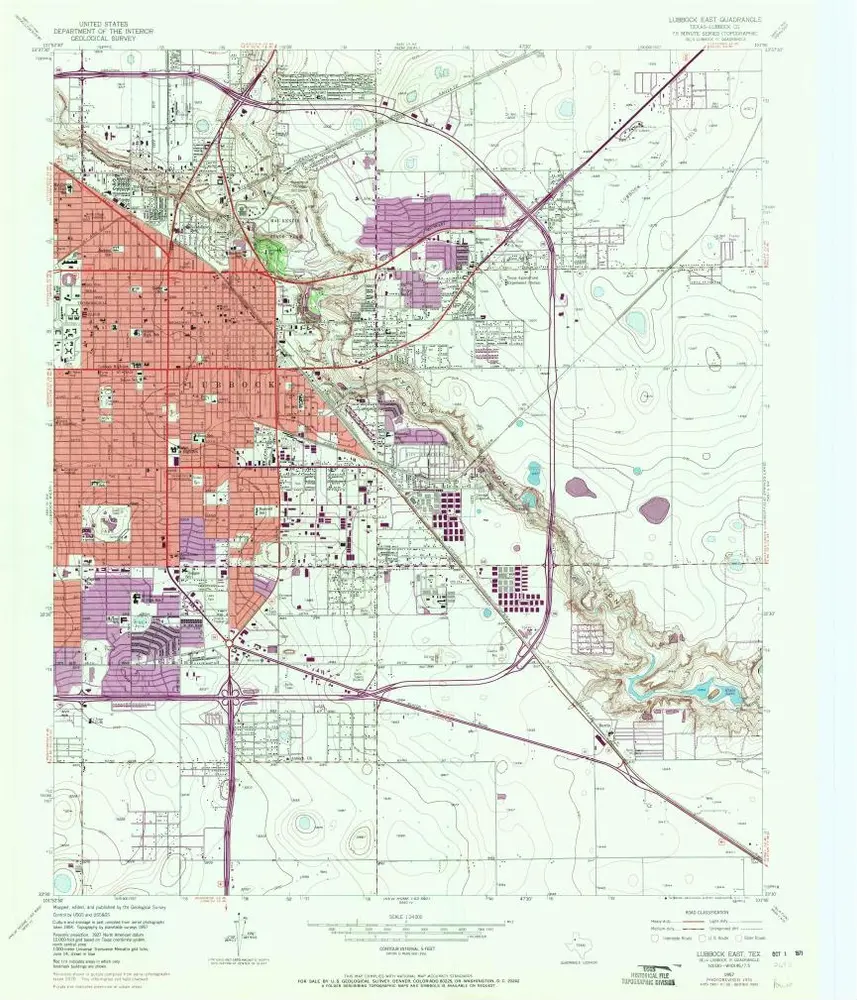
Lubbock East
1957
1:24k
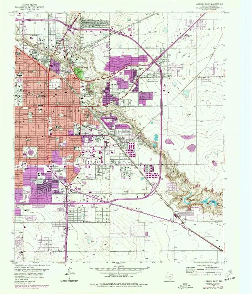
Lubbock East
1957
1:24k
Shallowater
1956
1:24k
Shallowater
1956
1:24k
Shallowater
1956
1:24k
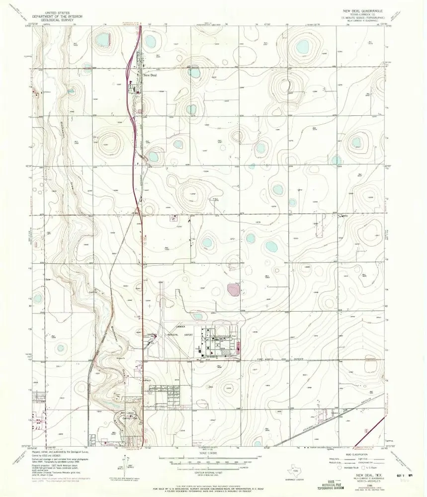
New Deal
1956
1:24k
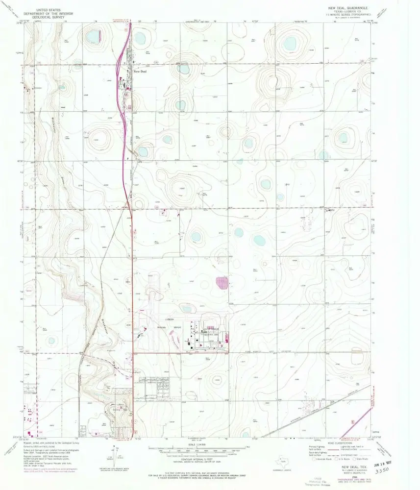
New Deal
1956
1:24k
New Deal
1956
1:24k
Geschichte