Project
Community
News
My App
My maps
Carte cataloguée
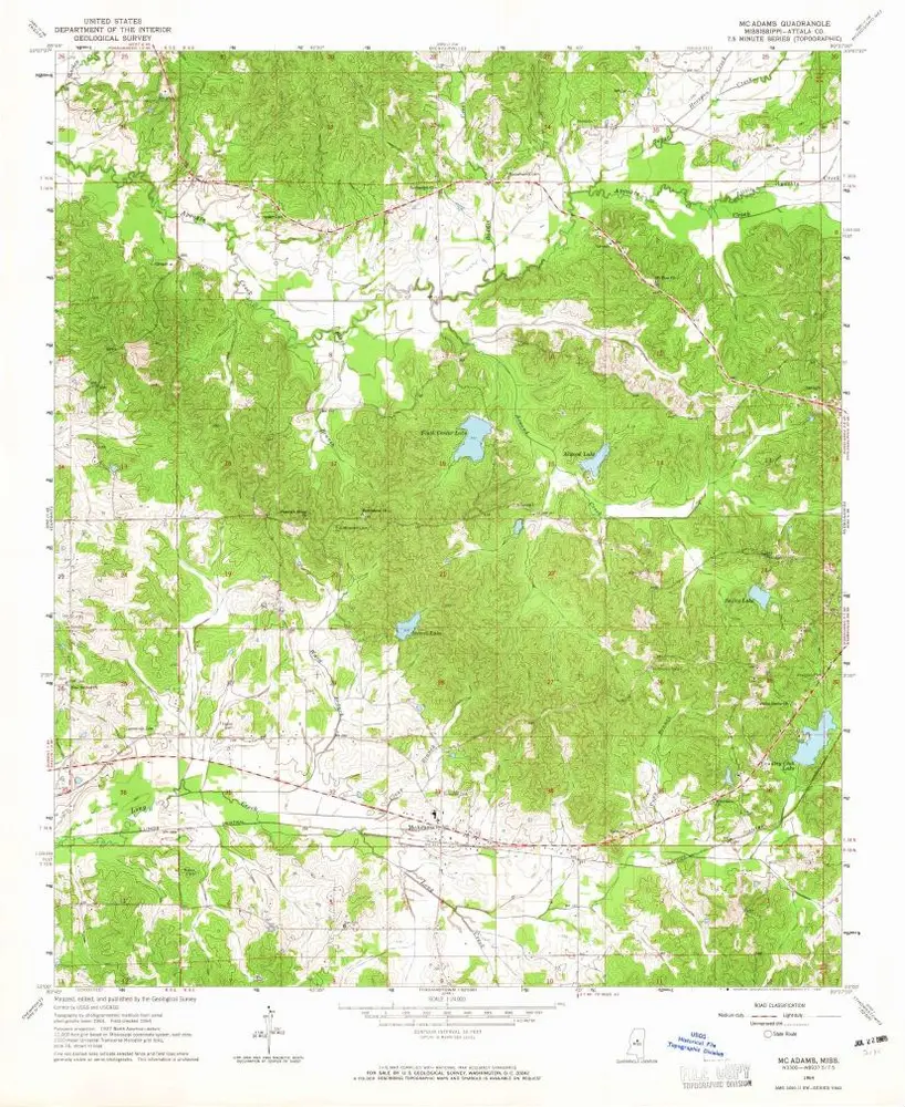
McAdams
View on external website
Institution:
United States Geological Survey
Titre complet:
McAdams
Année de l'image:
1964
Date de publication:
1965
Échelle de la carte:
1:24 000
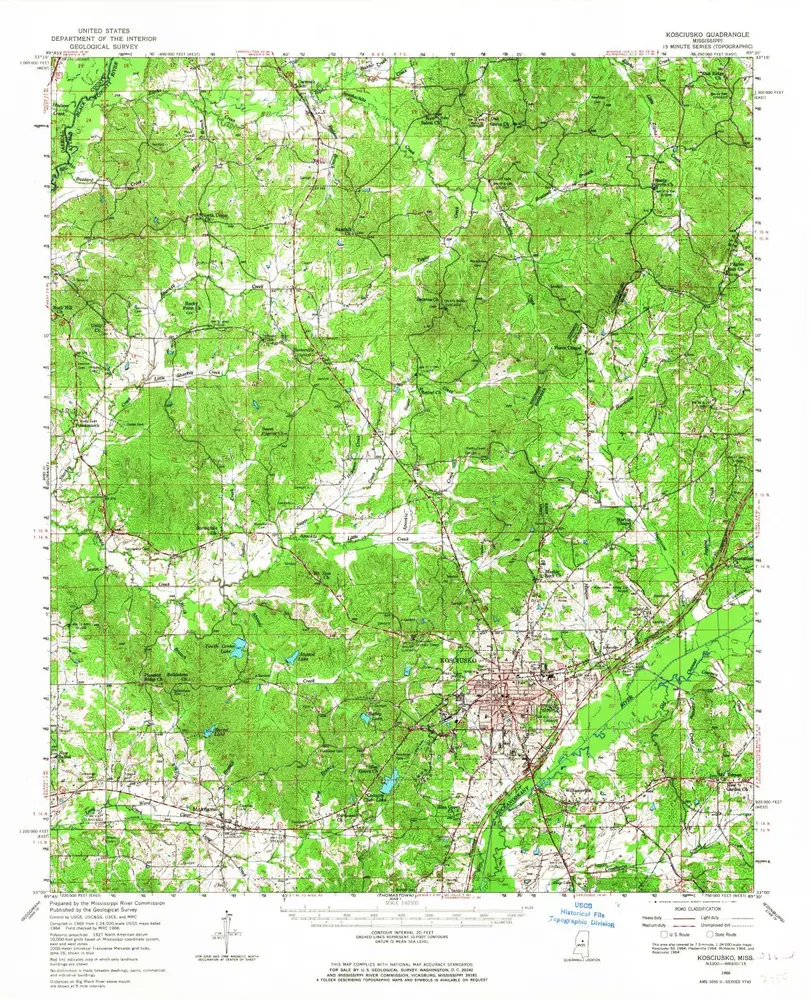
Kosciusko
1966
1:63k
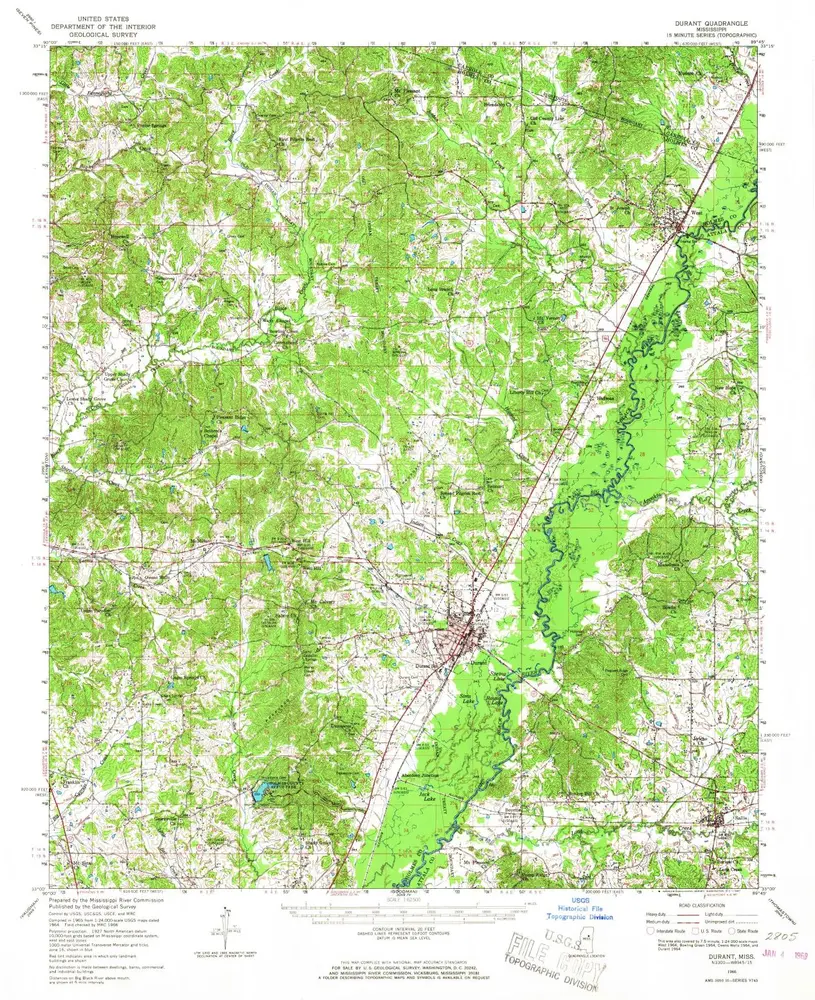
Durant
1966
1:63k
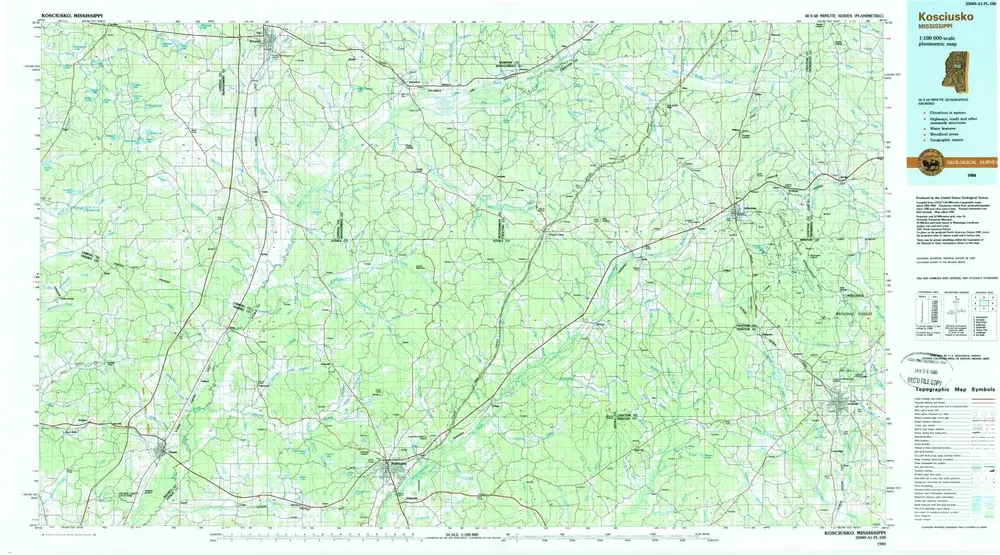
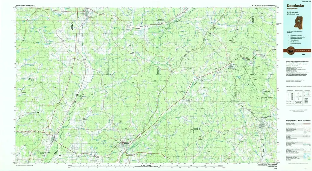
Kosciusko
1984
1:100k
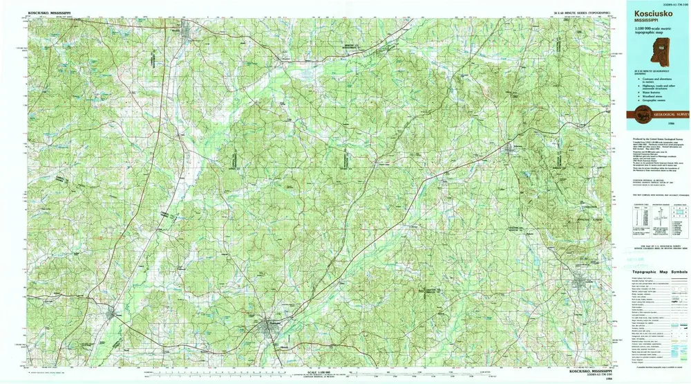
Kosciusko
1984
1:100k
Kosciusko
1984
1:100k
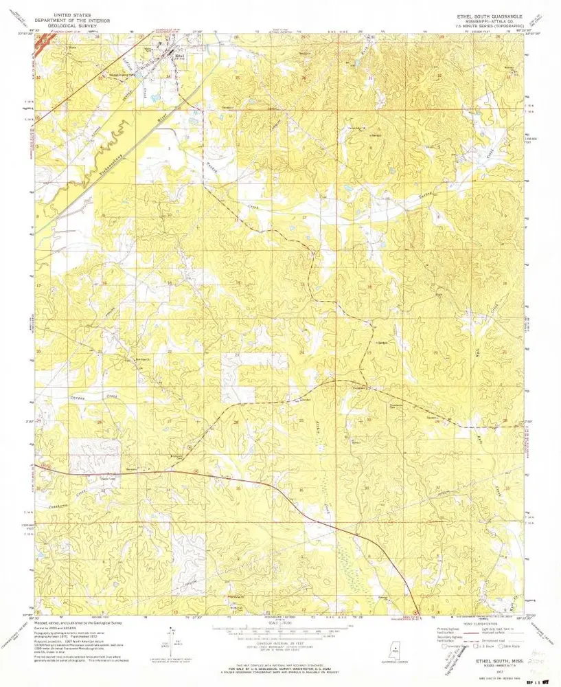
Ethel South
1972
1:24k
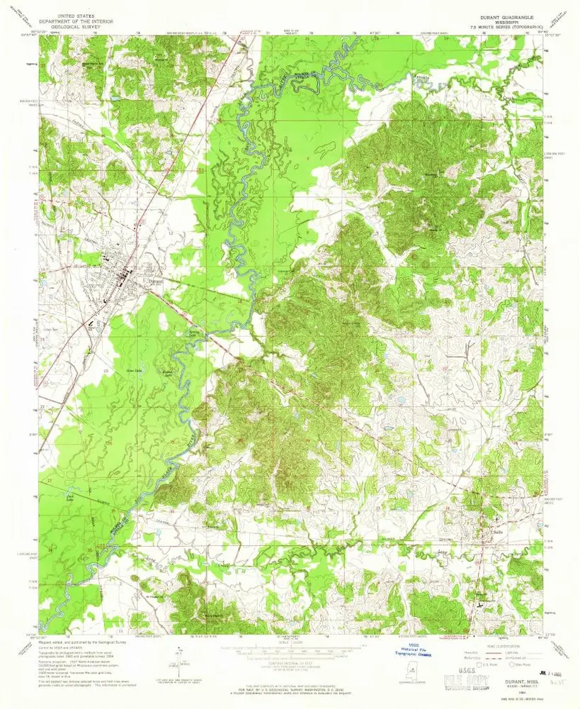
Durant
1964
1:24k
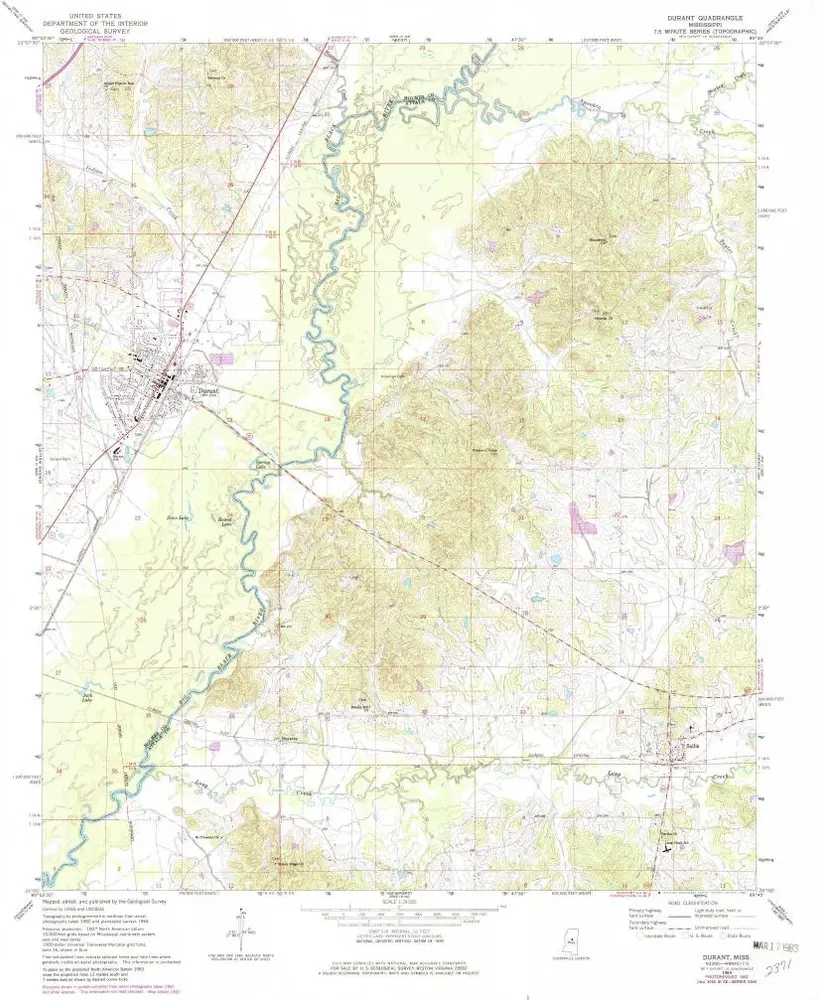
Durant
1964
1:24k
McAdams
1964
1:24k
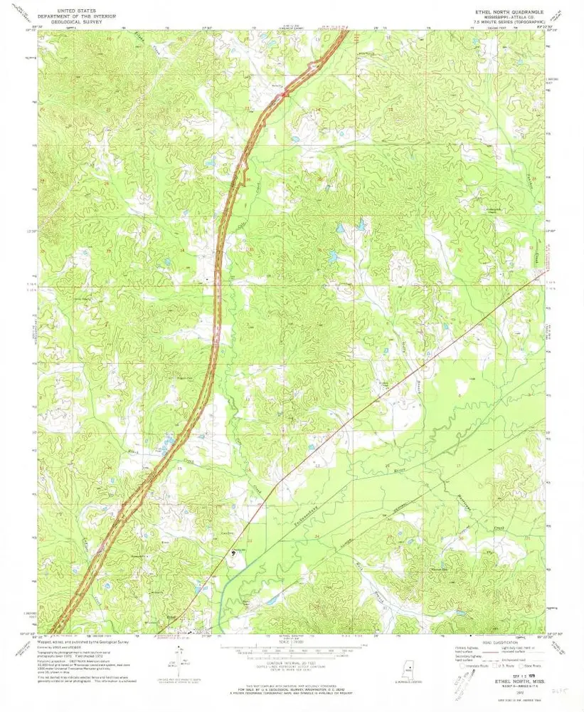
Ethel North
1972
1:24k
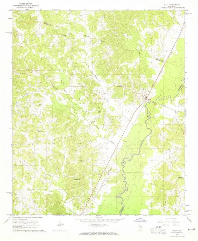
West
1964
1:24k
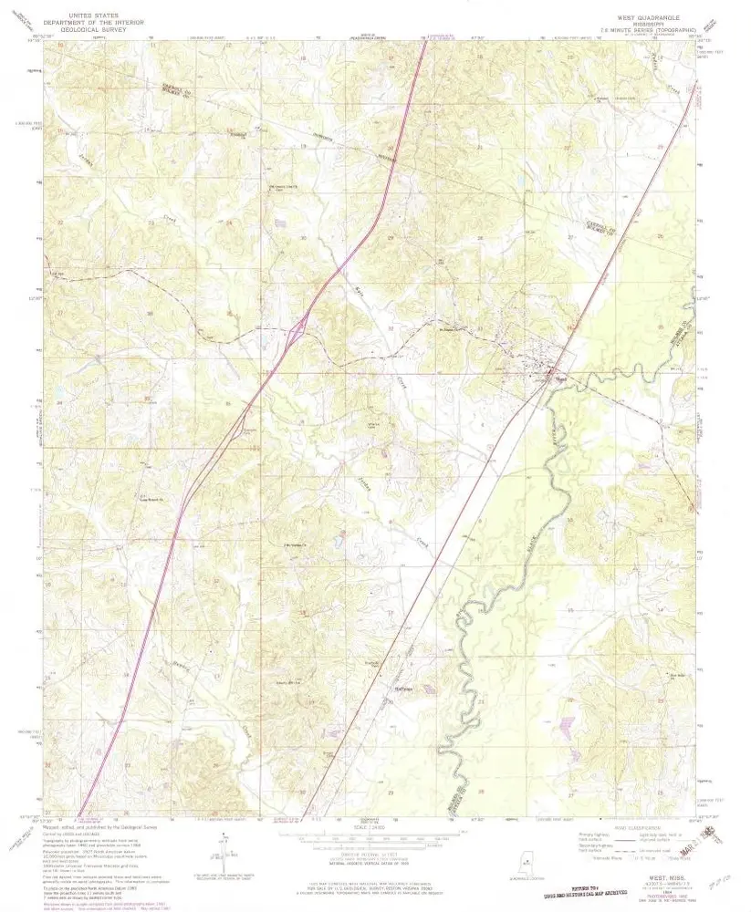
West
1964
1:24k
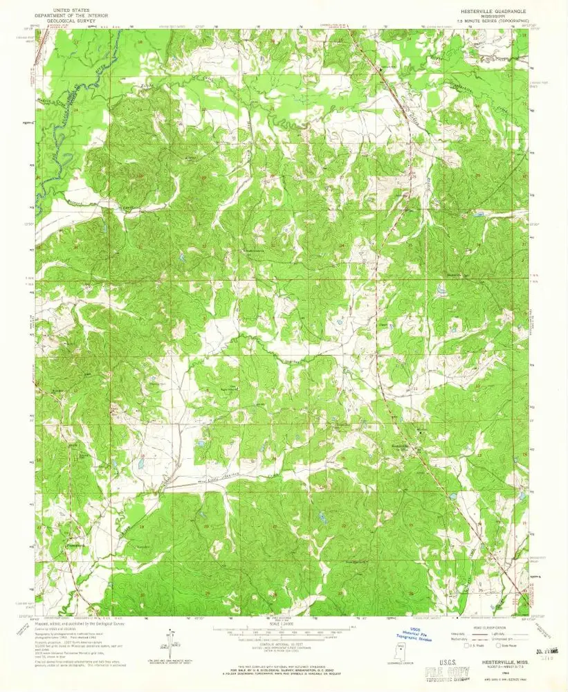
Hesterville
1964
1:24k
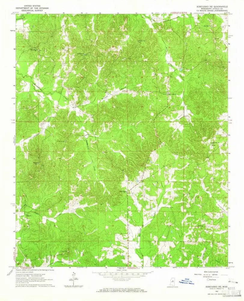
Kosciusko NE
1964
1:24k
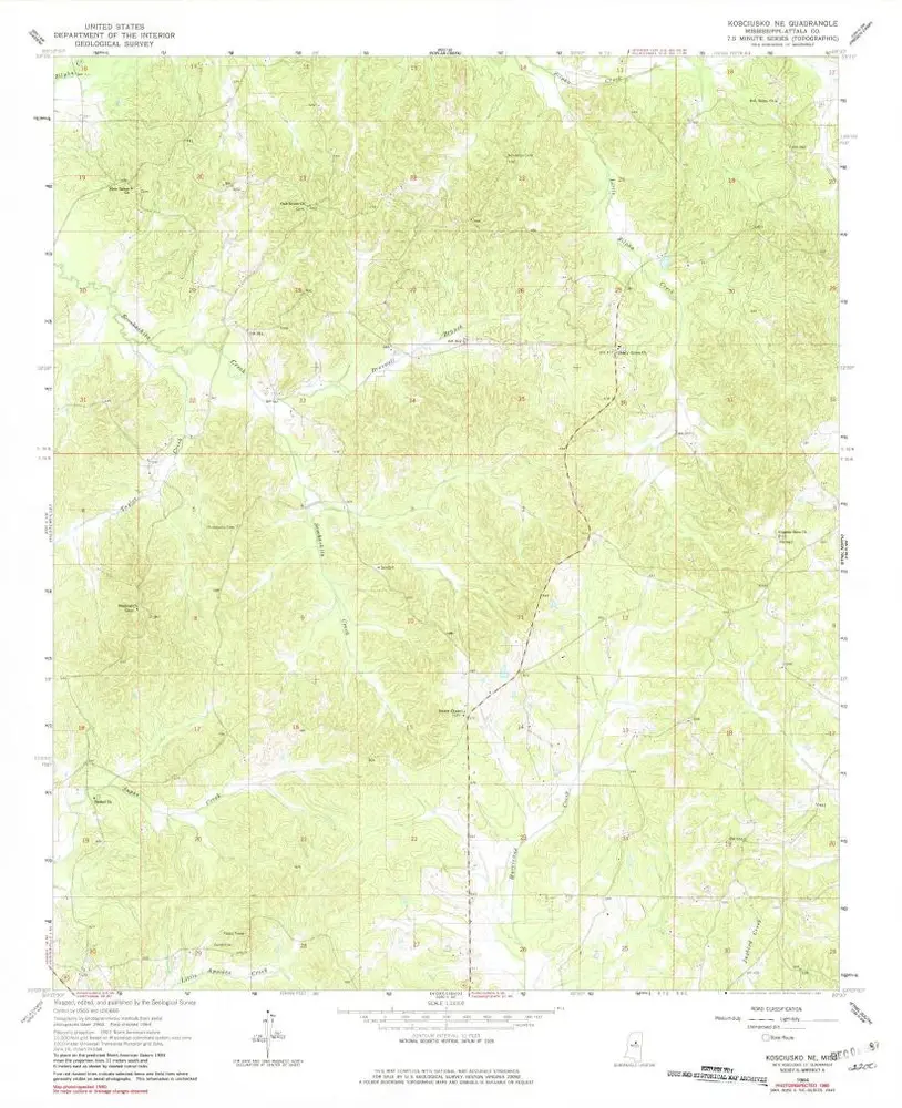
Kosciusko NE
1964
1:24k
L'histoire