Project
Community
News
My App
My maps
Carte cataloguée
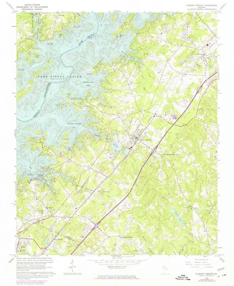
Flowery Branch
View on external website
View digitized
Institution:
United States Geological Survey
Titre complet:
Flowery Branch
Année de l'image:
1964
Date de publication:
1972
Échelle de la carte:
1:24 000
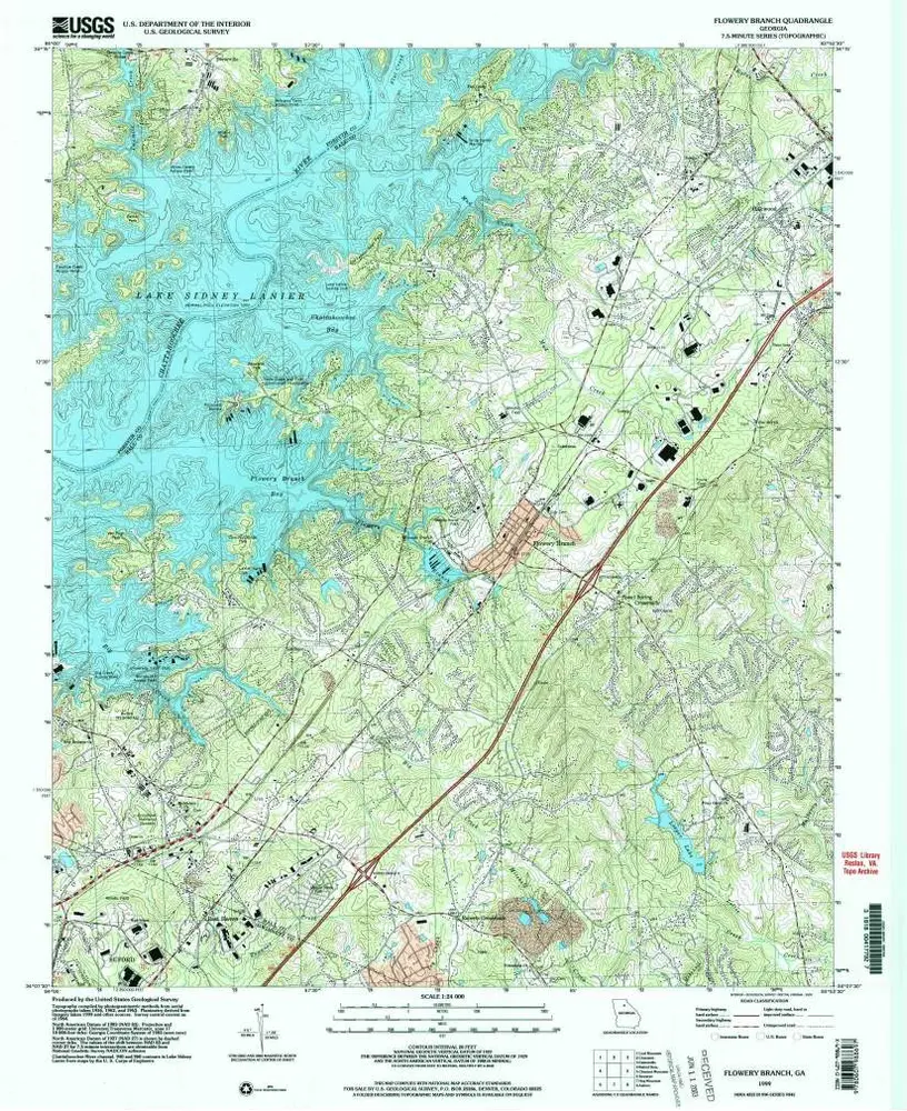
Flowery Branch
1999
1:24k
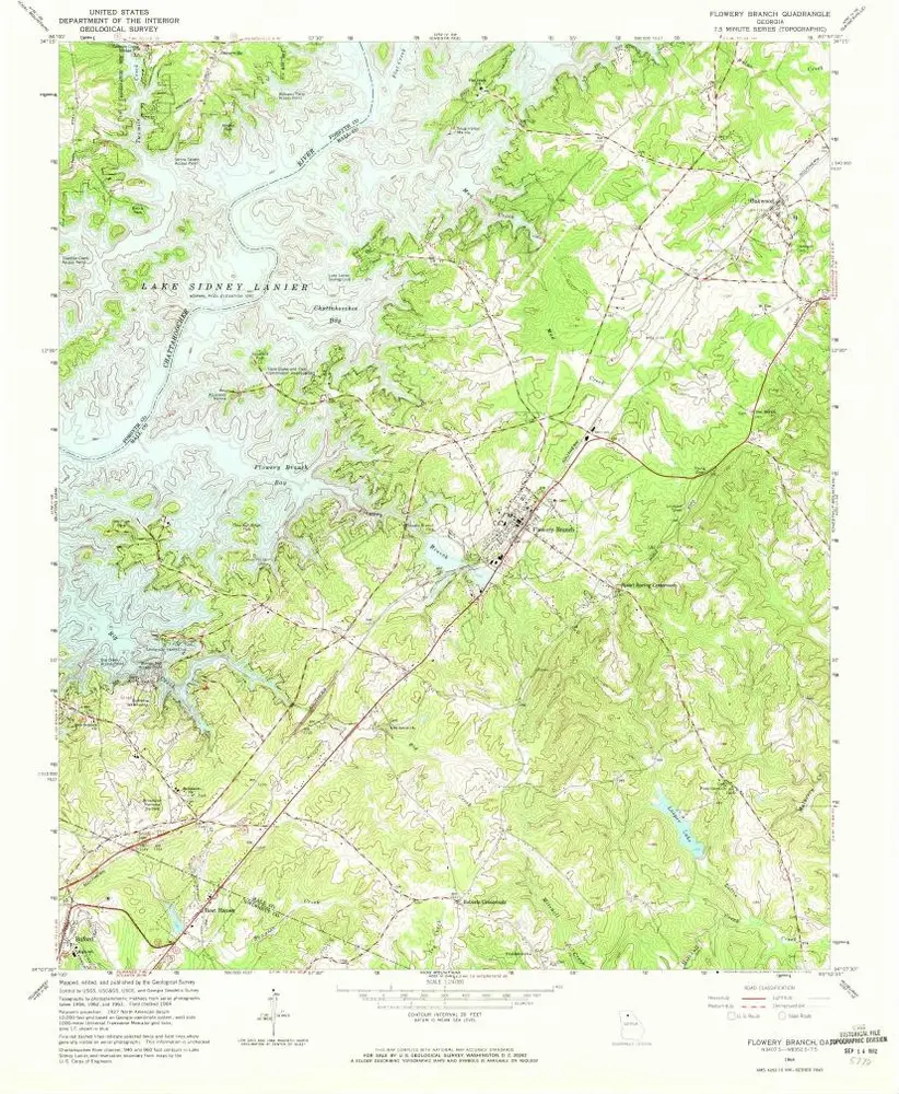
Flowery Branch
1964
1:24k
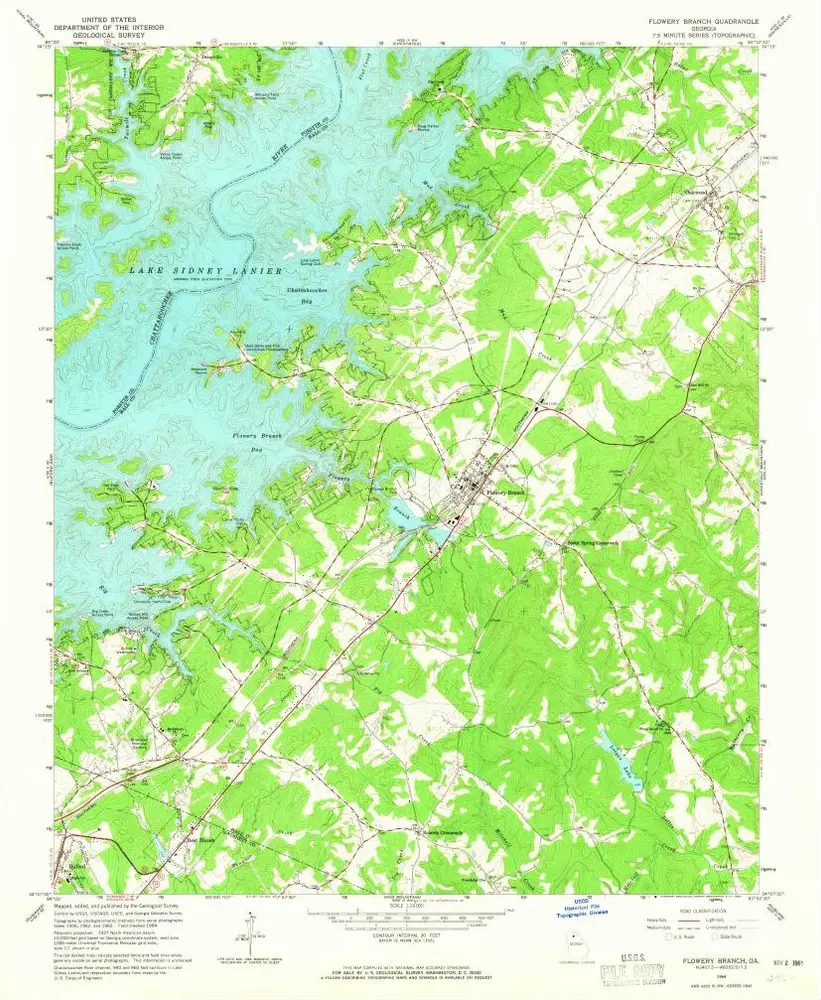
Flowery Branch
1964
1:24k
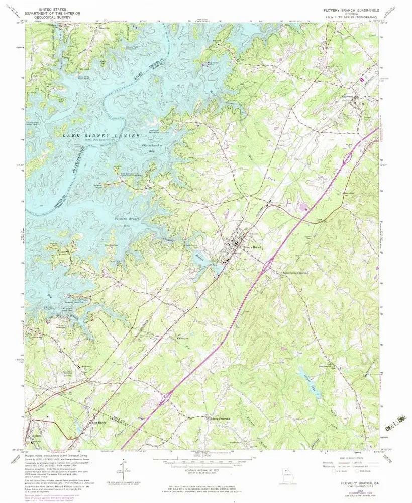
Flowery Branch
1964
1:24k
Flowery Branch
1964
1:24k
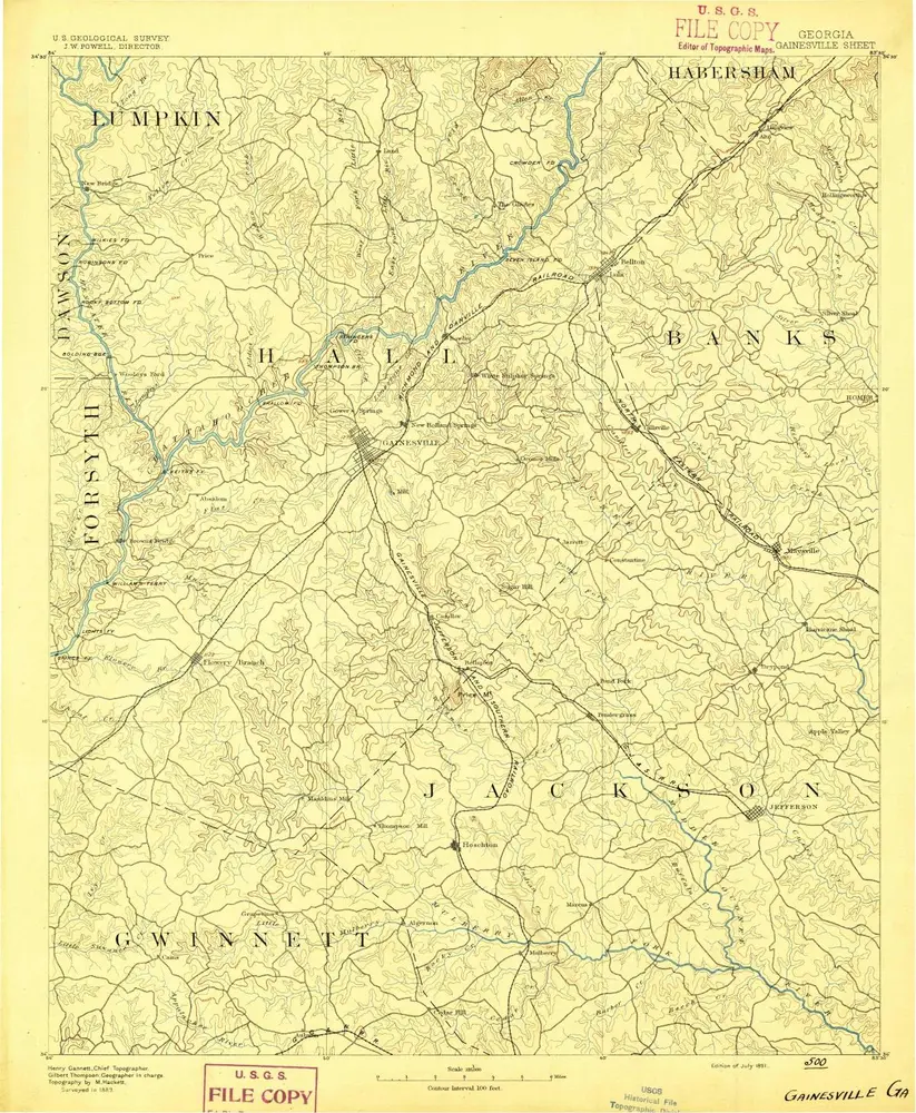
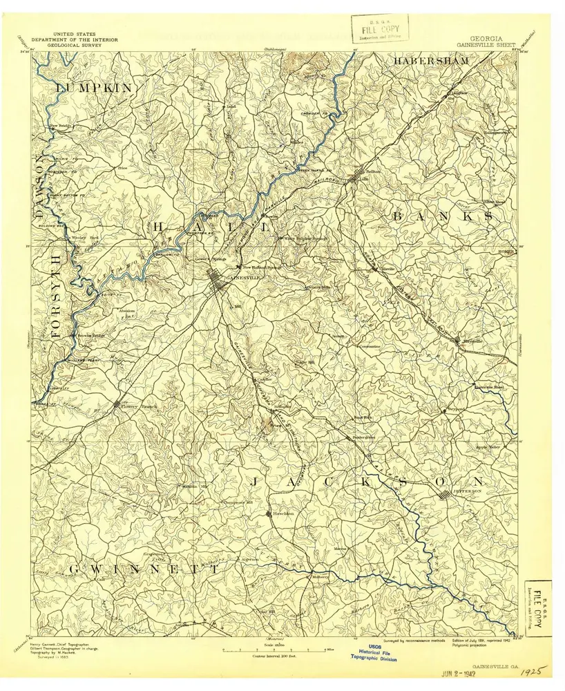
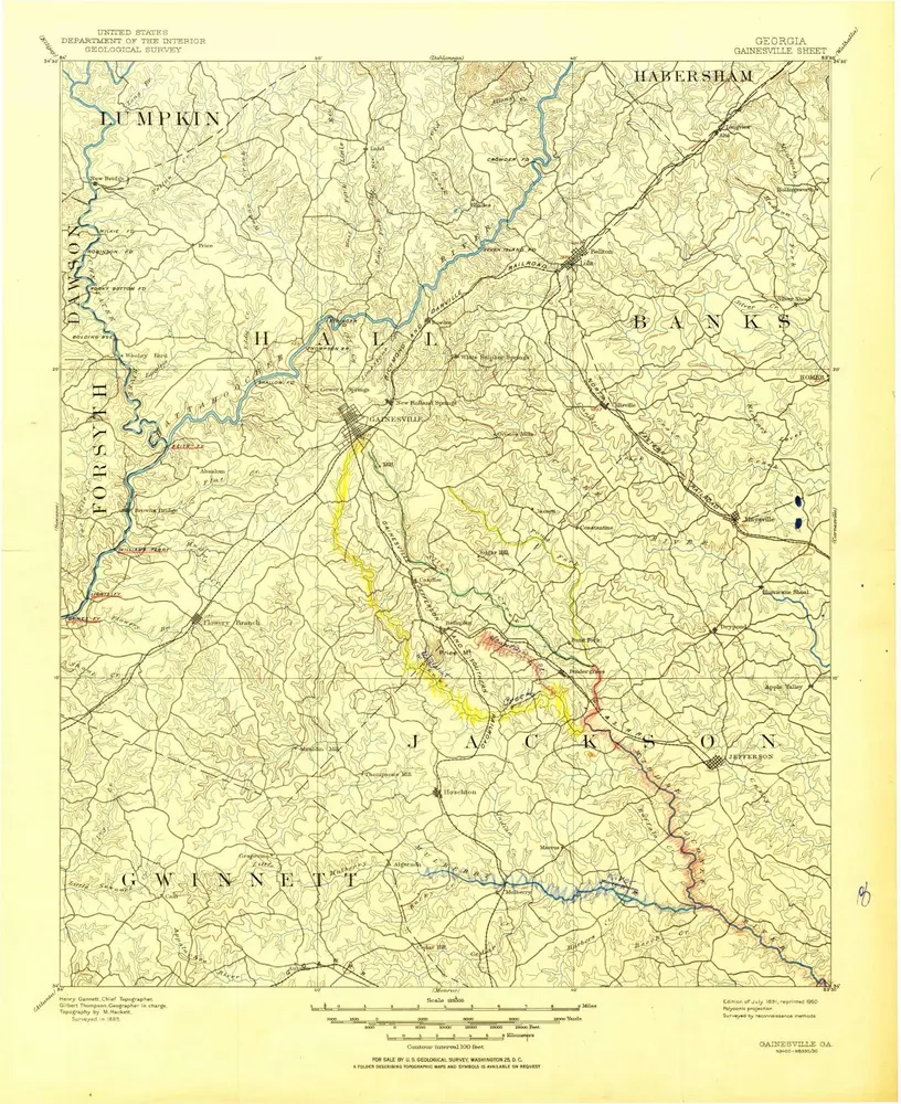
Gainesville
1891
1:125k
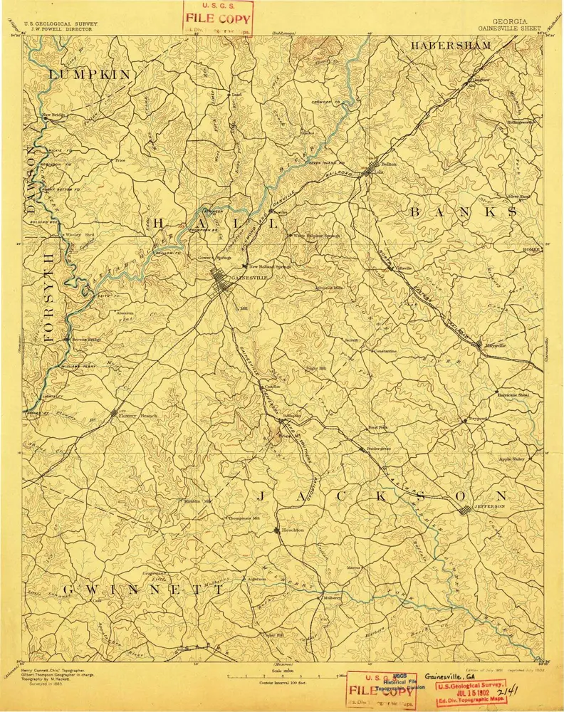
Gainesville
1891
1:125k
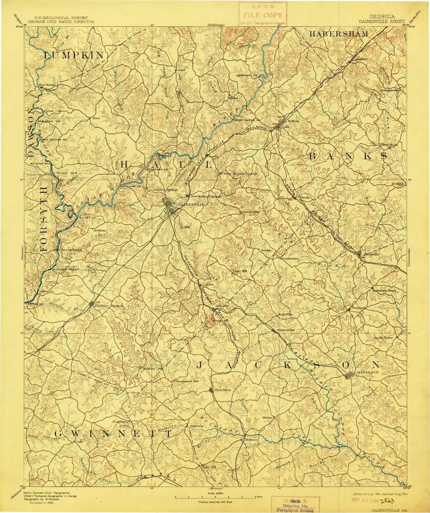
Gainesville
1891
1:125k
Gainesville
1891
1:125k
Gainesville
1891
1:125k
L'histoire