Project
Community
News
My App
My maps
Cataloged map
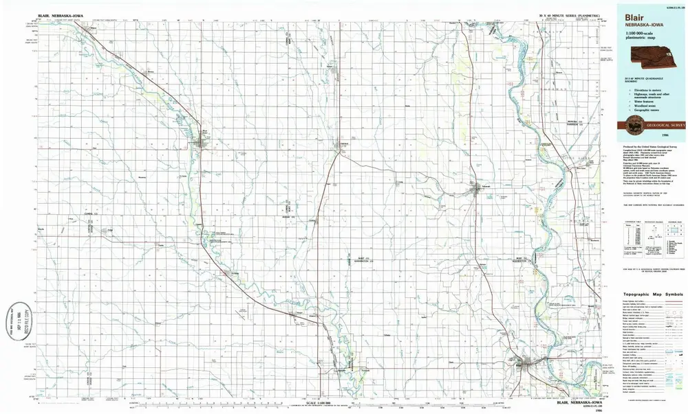
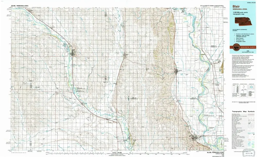
Blair
View on external website
View digitized
Institution:
United States Geological Survey
Full title:
Blair
Depicted:
1986
Pubdate:
1986
Map scale:
1:100 000
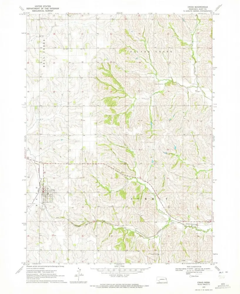
Craig
1970
1:24k
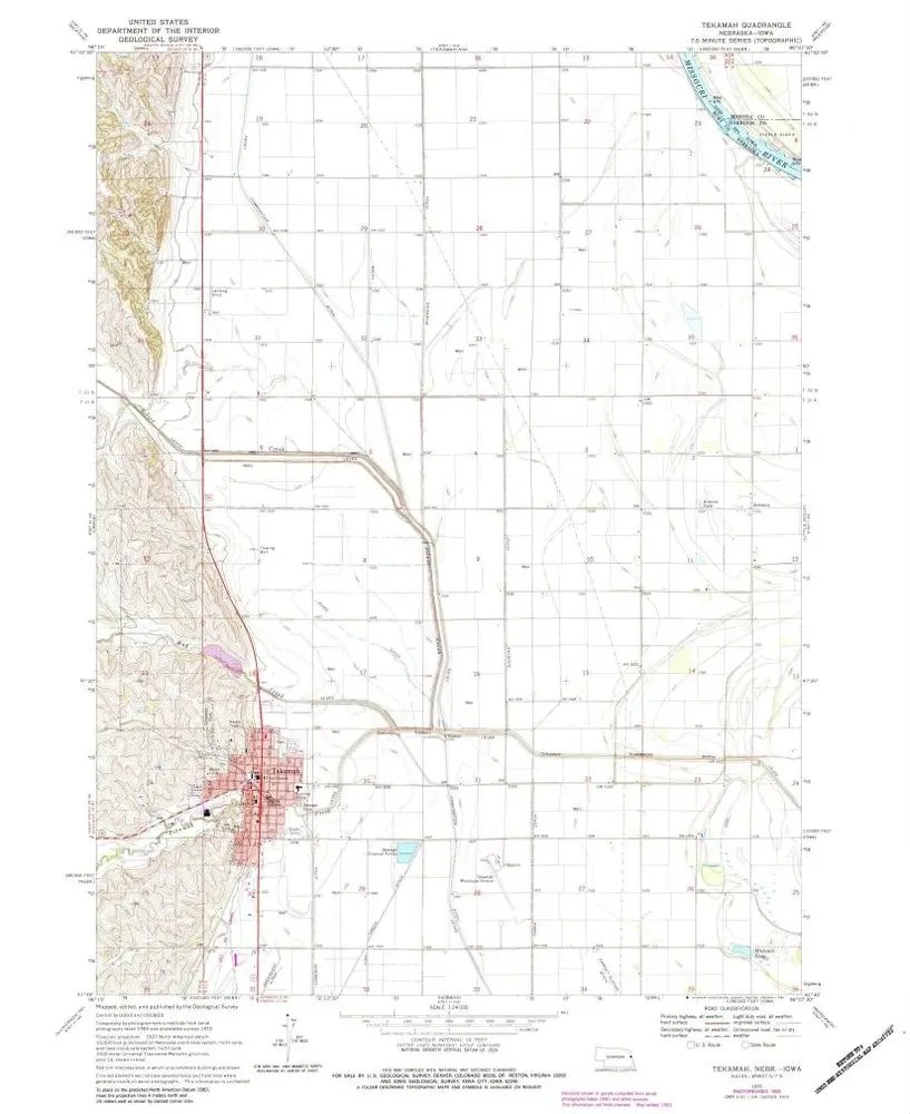
Tekamah
1970
1:24k
Tekamah
1970
1:24k
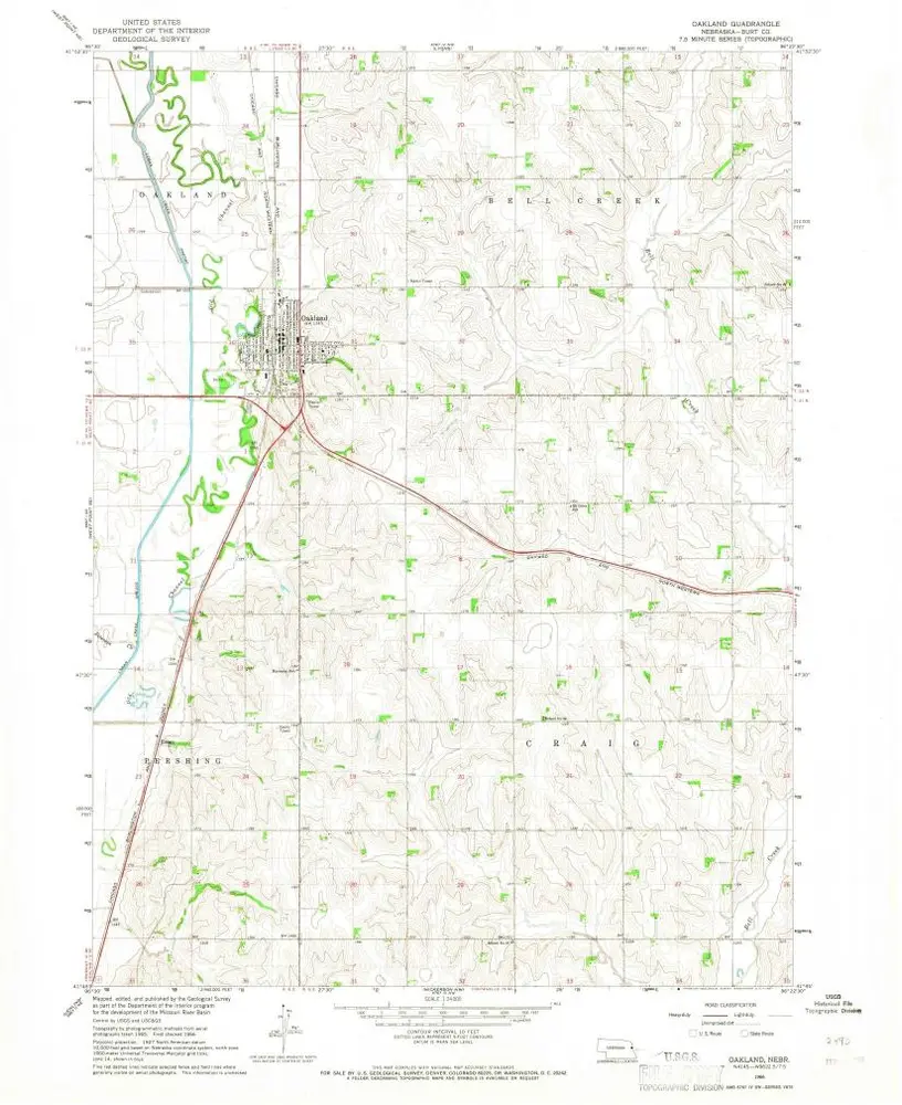
Oakland
1966
1:24k
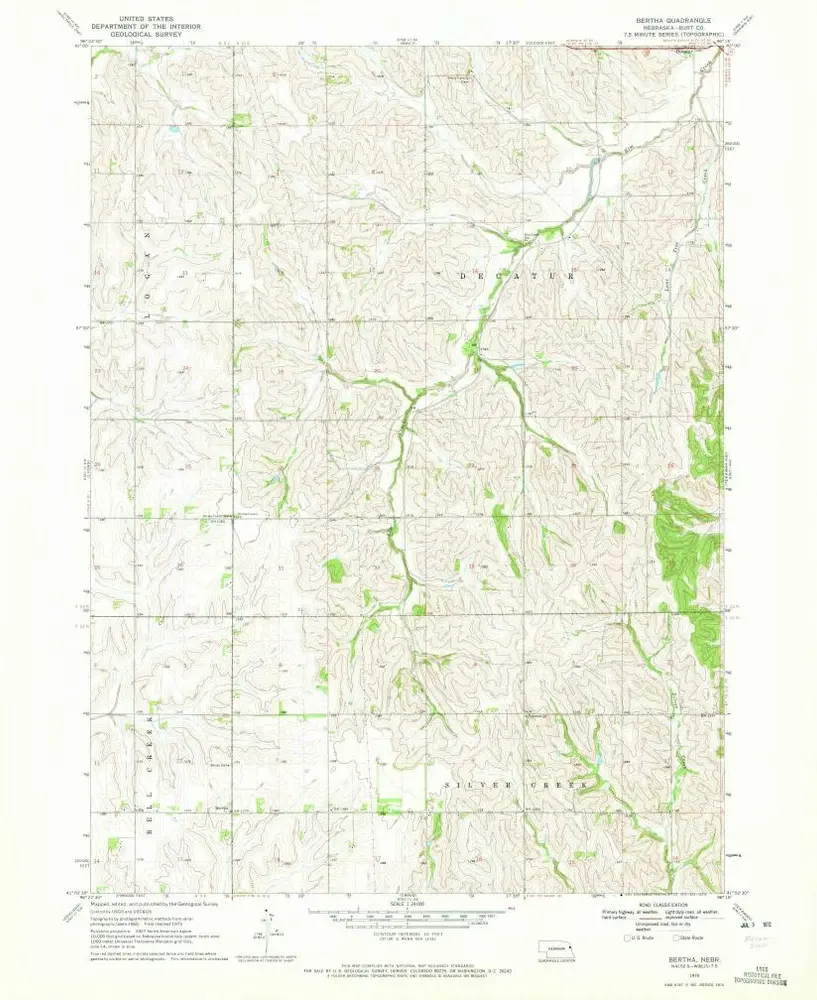
Bertha
1970
1:24k
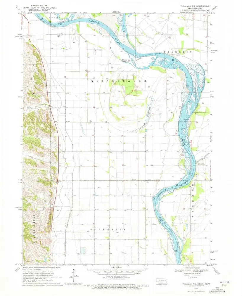
Tekamah NW
1970
1:24k
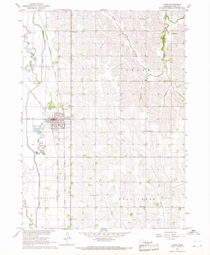
Lyons
1966
1:24k
Blair
1986
1:100k
Blair
1986
1:100k
Nickerson NE
1970
1:24k
Herman
1970
1:24k
Nickerson NW
1966
1:24k
History