Project
Community
News
My App
My maps
Cataloged map
Langston
View on external website
View digitized
Institution:
United States Geological Survey
Full title:
Langston
Depicted:
1970
Pubdate:
1983
Map scale:
1:24 000
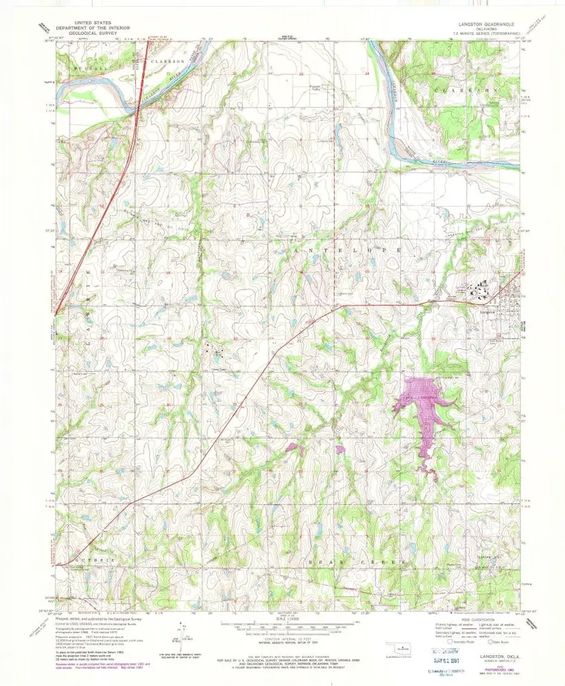
Langston
1970
1:24k
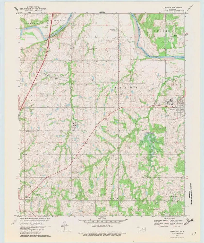
Langston
1970
1:24k
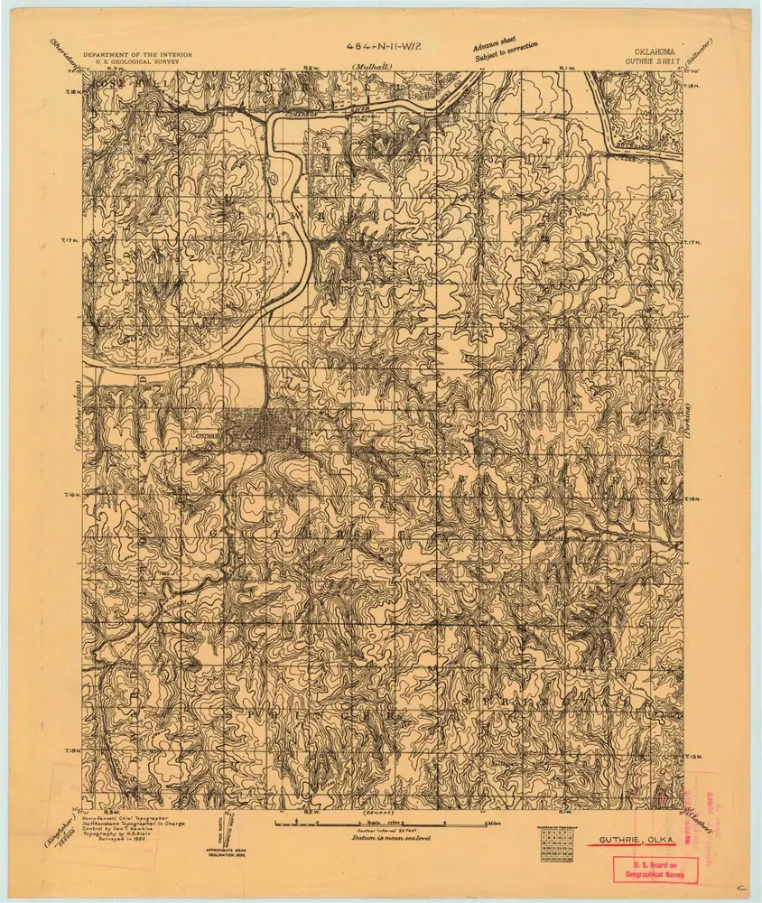
Guthrie
1892
1:63k
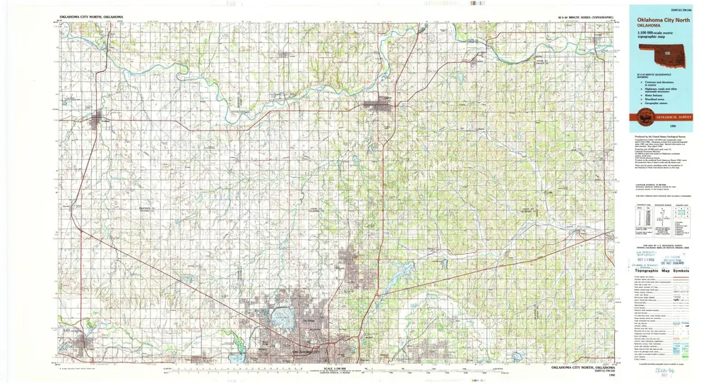
Oklahoma City North
1990
1:100k
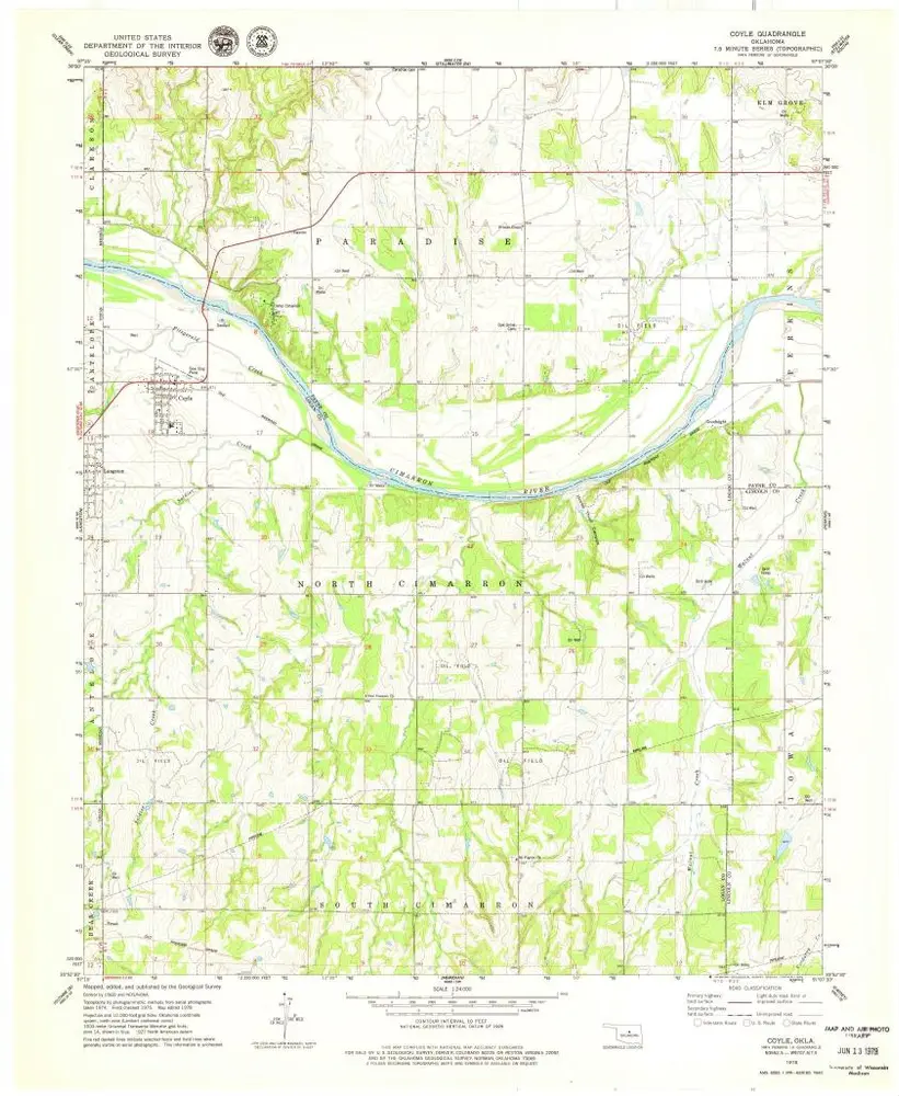
Coyle
1978
1:24k
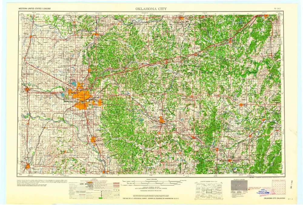
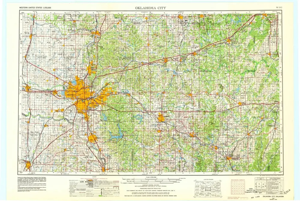
Oklahoma City
1963
1:250k
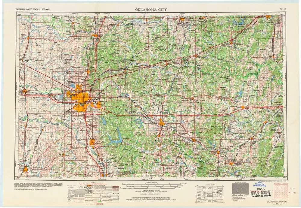
Oklahoma City
1957
1:250k
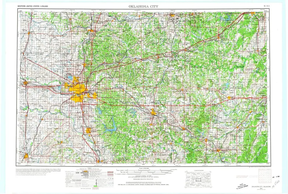
Oklahoma City
1957
1:250k
Oklahoma City
1957
1:250k
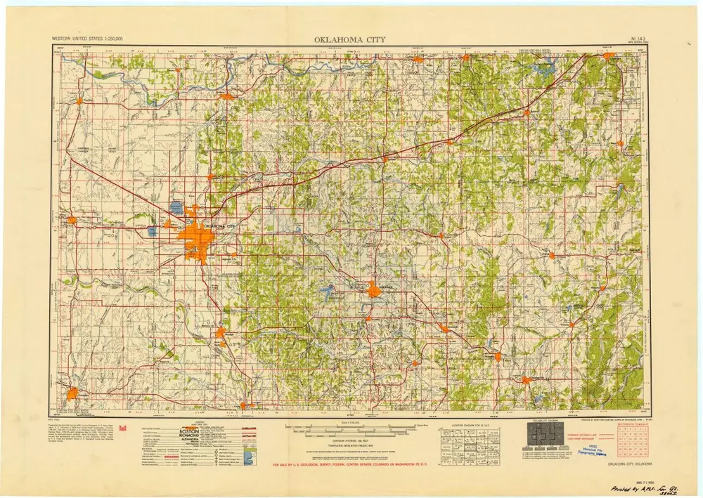
Oklahoma City
1954
1:250k
History