Project
Community
News
My App
My maps
Cataloged map
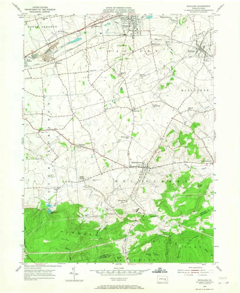
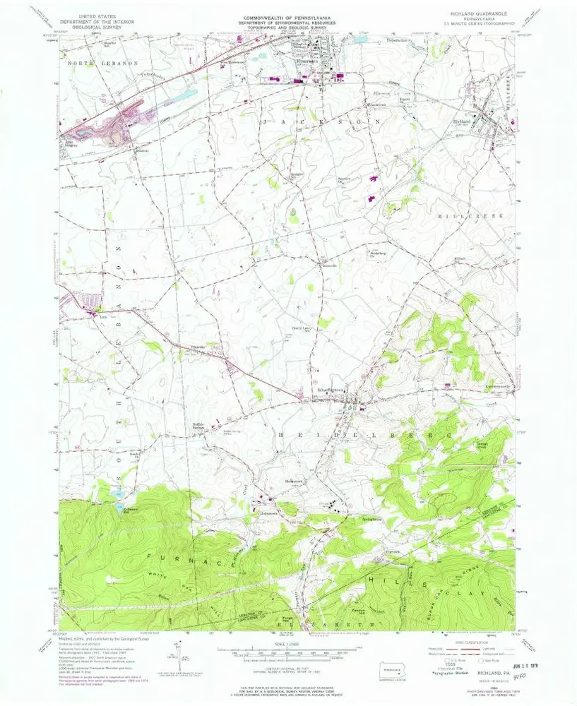
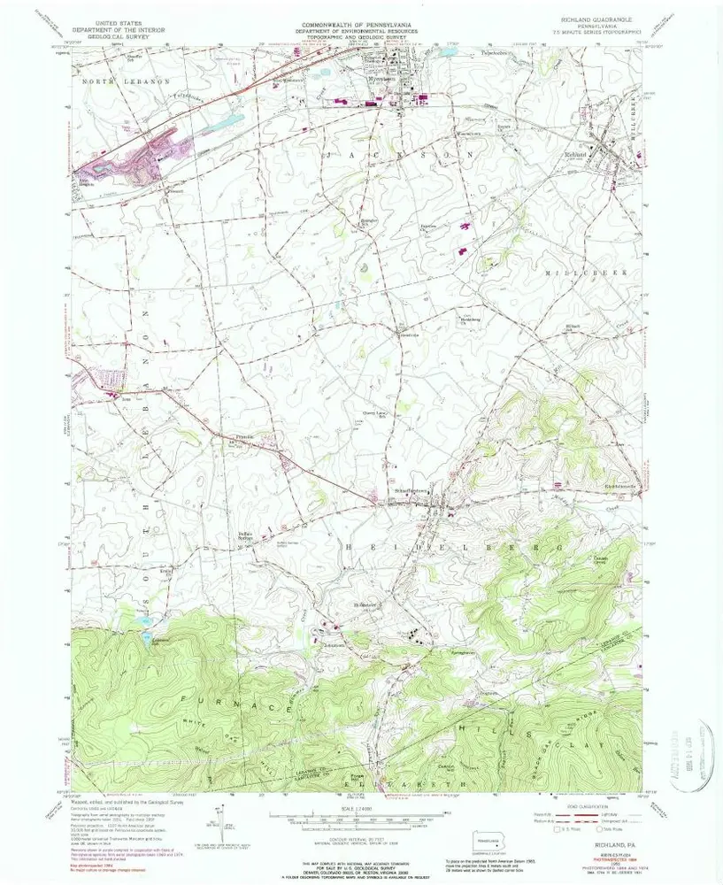
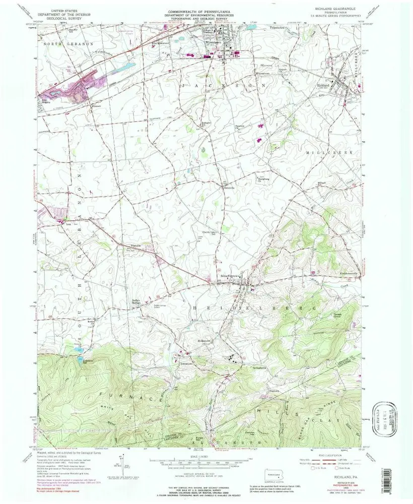
Richland
View on external website
View digitized
Institution:
United States Geological Survey
Full title:
Richland
Depicted:
1955
Pubdate:
1967
Map scale:
1:24 000
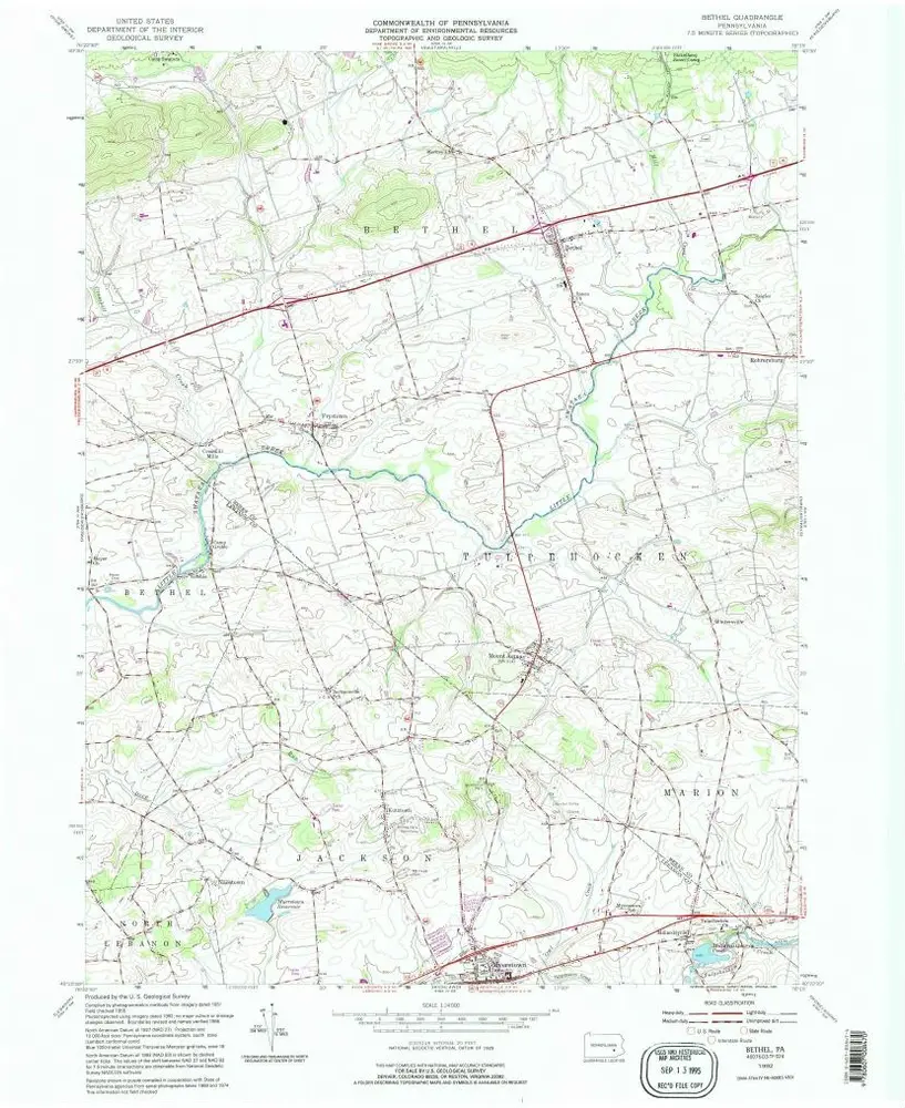
Bethel
1992
1:24k
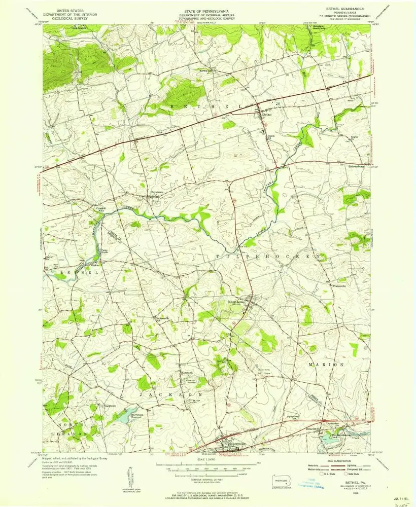
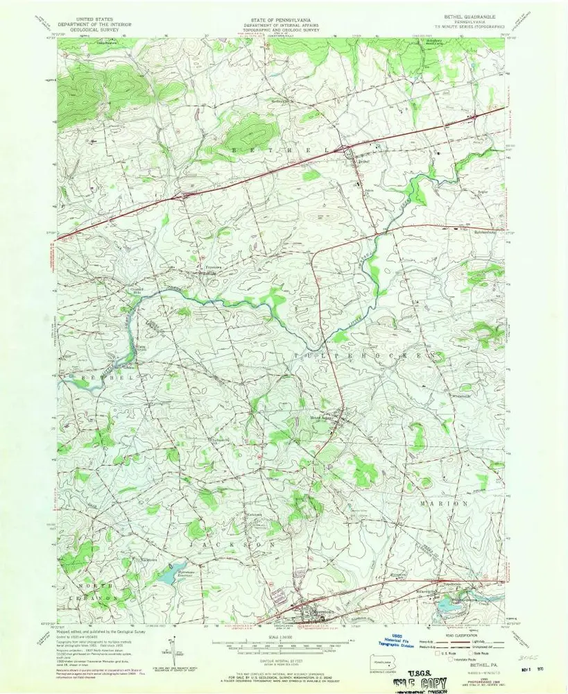
Bethel
1955
1:24k
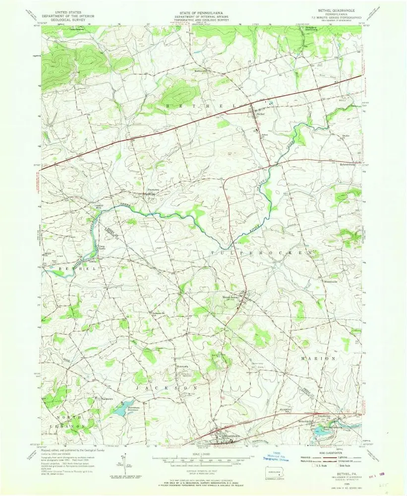
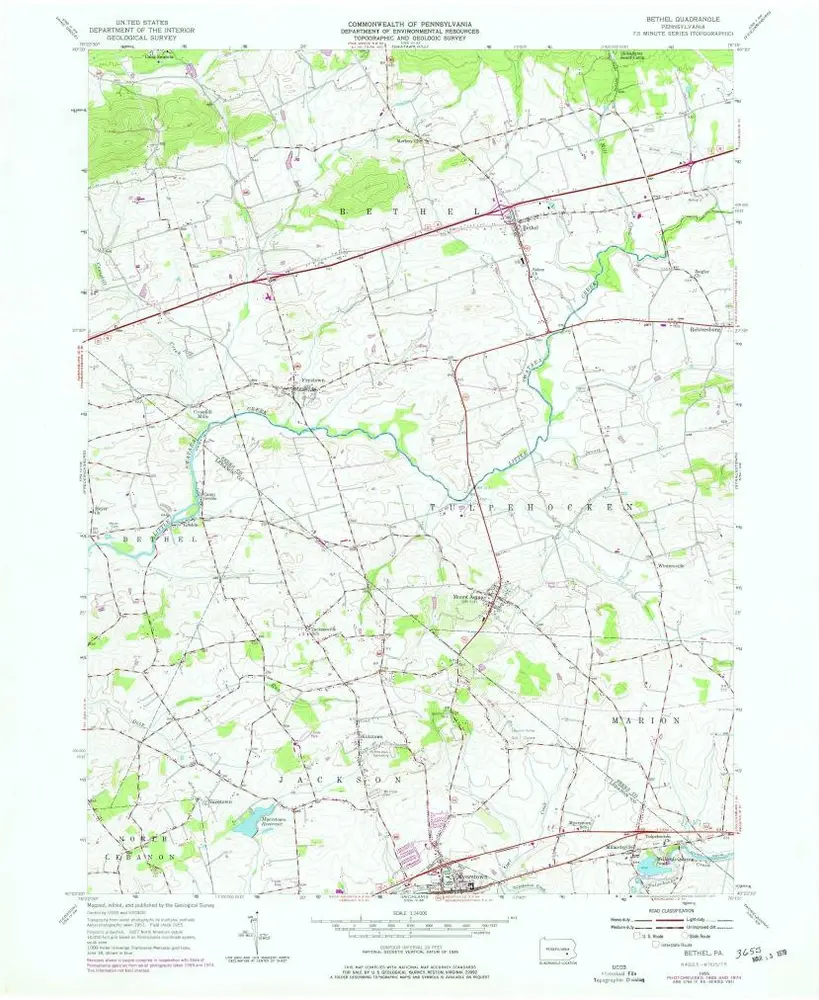
Bethel
1955
1:24k
Bethel
1955
1:24k
Bethel
1955
1:24k
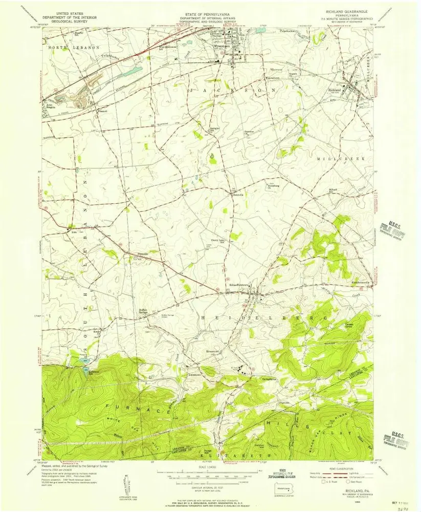
Richland
1955
1:24k
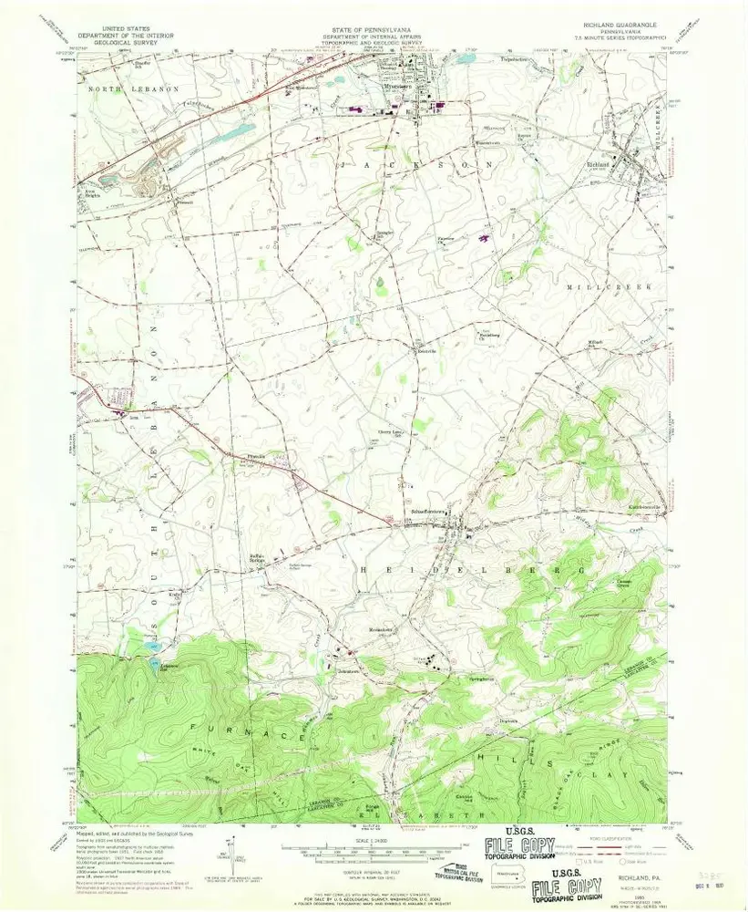
Richland
1955
1:24k
Richland
1955
1:24k
Richland
1955
1:24k
Richland
1955
1:24k
Richland
1955
1:24k
History