Project
Community
News
My App
My maps
Skatalogowana mapa
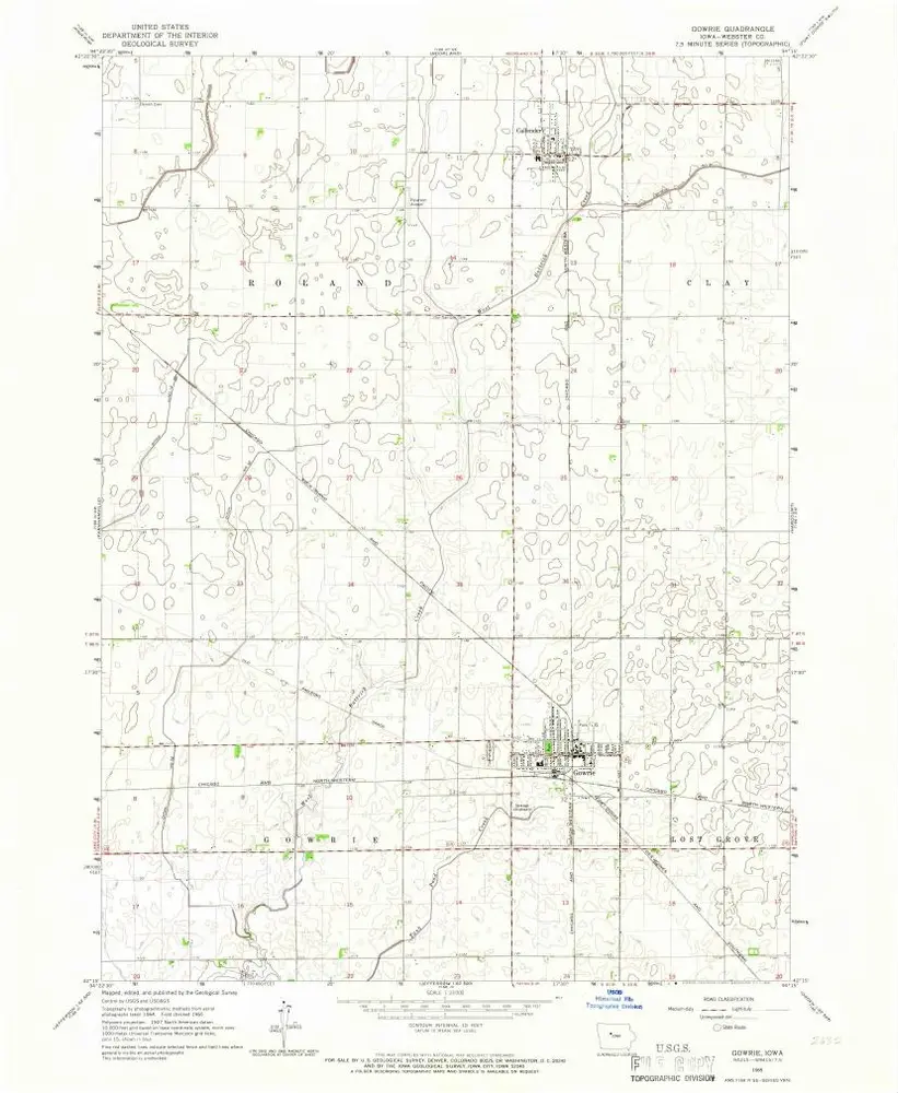
Gowrie
View on external website
View digitized
Instytucja:
United States Geological Survey
Pełny tytuł:
Gowrie
Rok ilustracji:
1965
Data publikacji:
1966
Skala mapy:
1:24 000
Gowrie
1965
1:24k
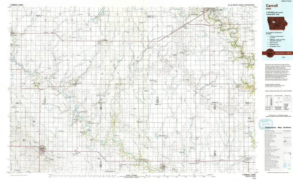
Carroll
1993
1:100k
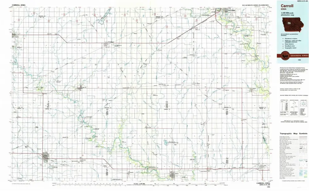
Carroll
1985
1:100k
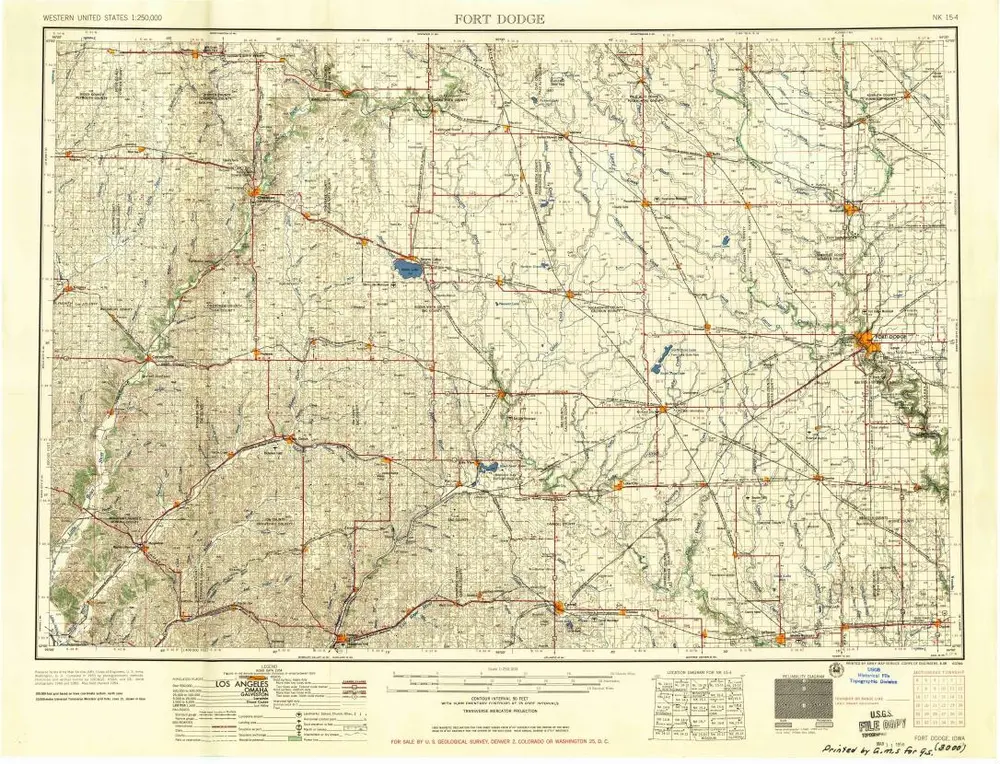
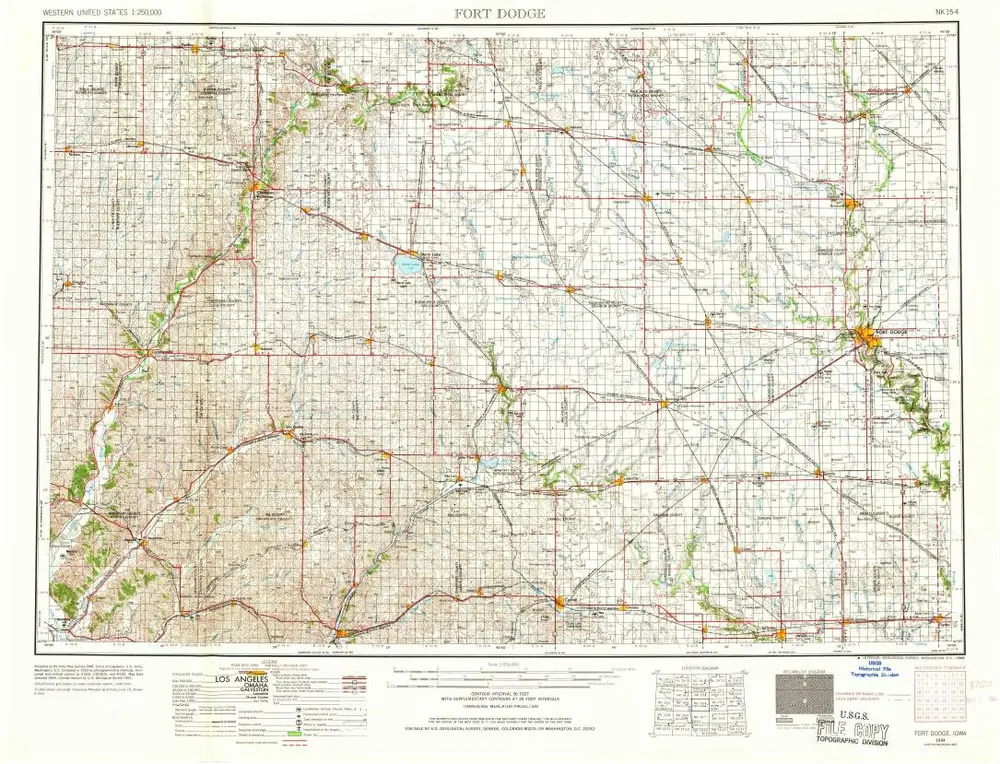
Fort Dodge
1958
1:250k
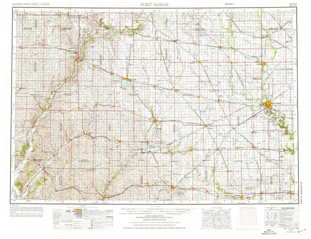
Fort Dodge
1954
1:250k
Fort Dodge
1954
1:250k
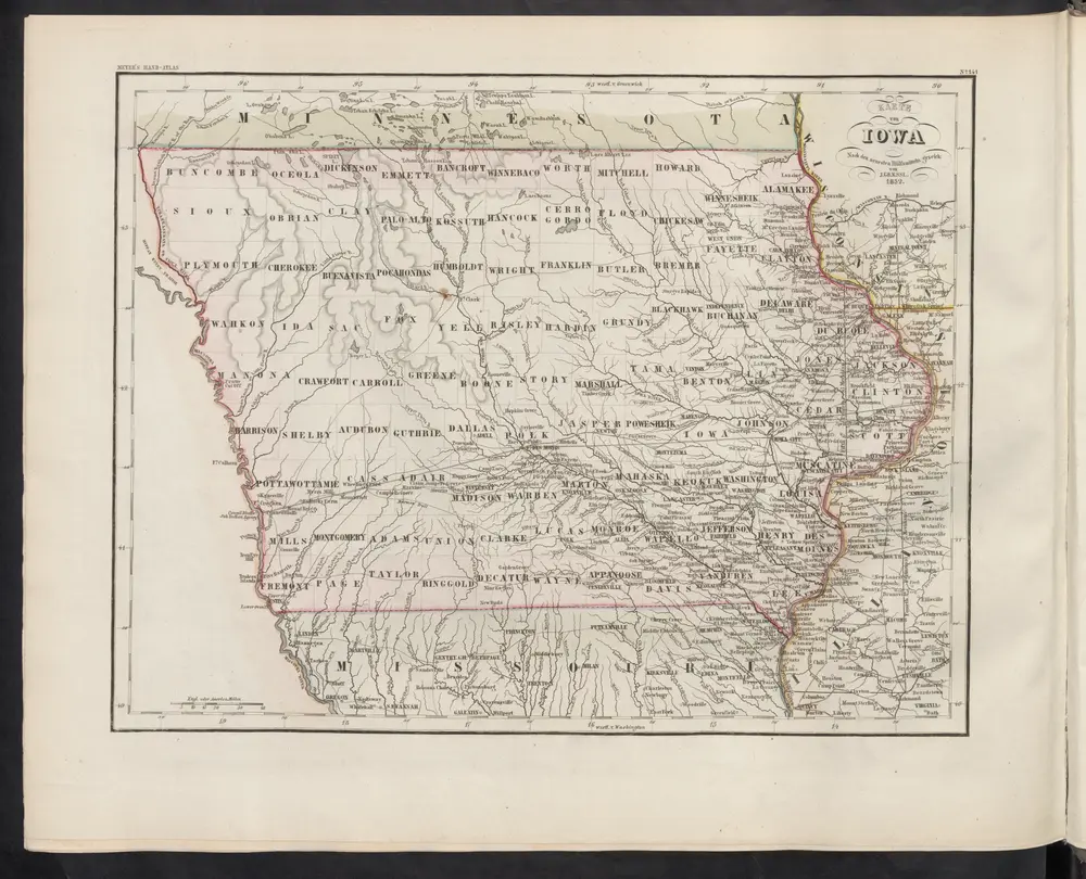
Karte von Iowa
1860
Meyer, J.
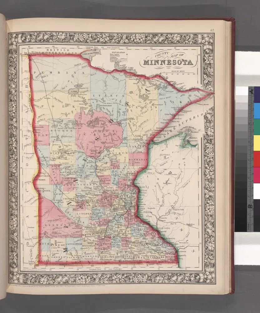
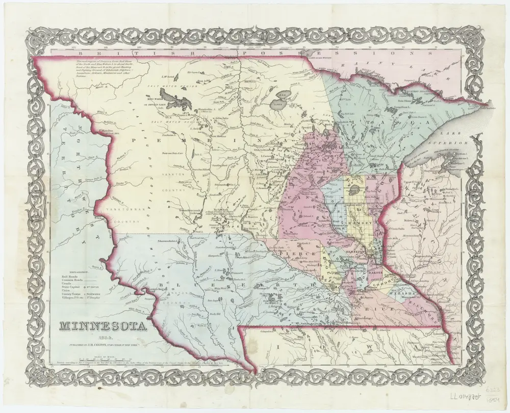
County map of Minnesota.
1860
Minnesota
1854
New York, N.Y. : J.H. Colton
1:3m
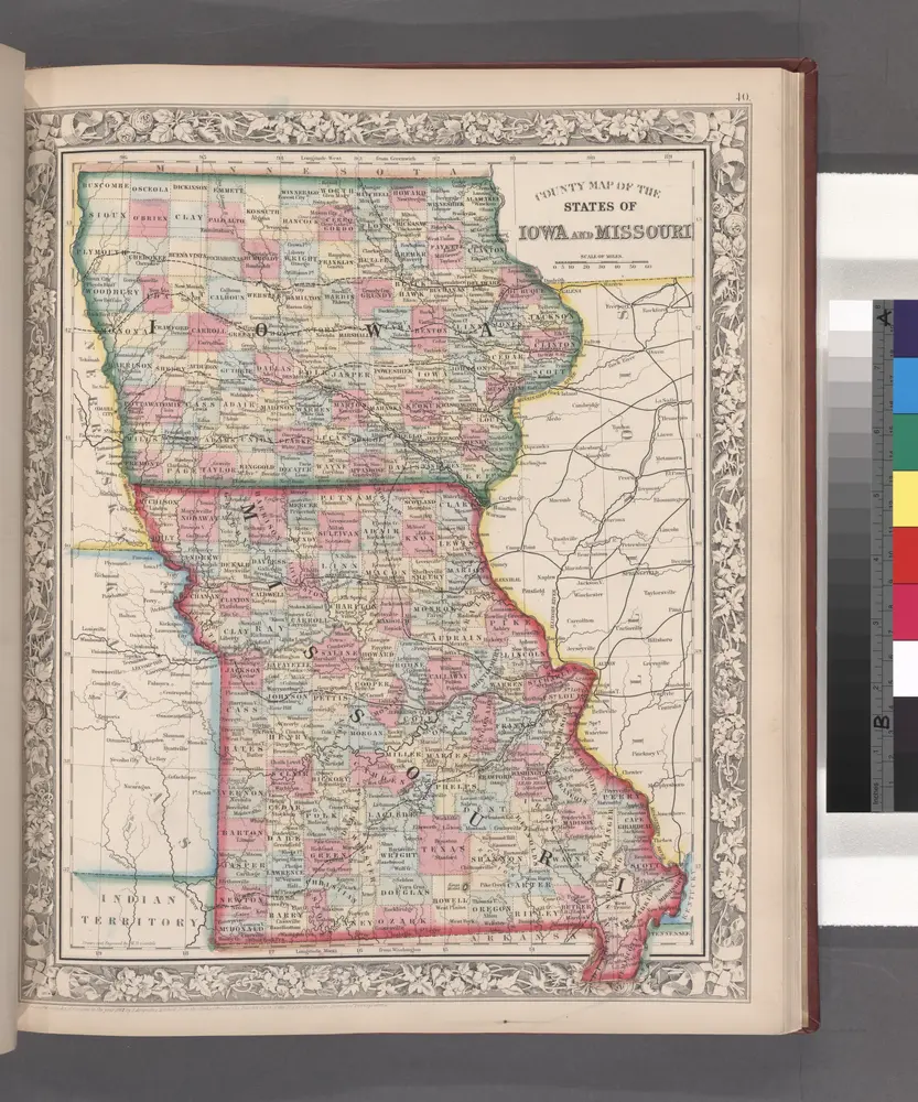
County map of the States of Iowa and Missouri.
1860
Historia