Project
Community
News
My App
My maps
Katalogisierte Karte
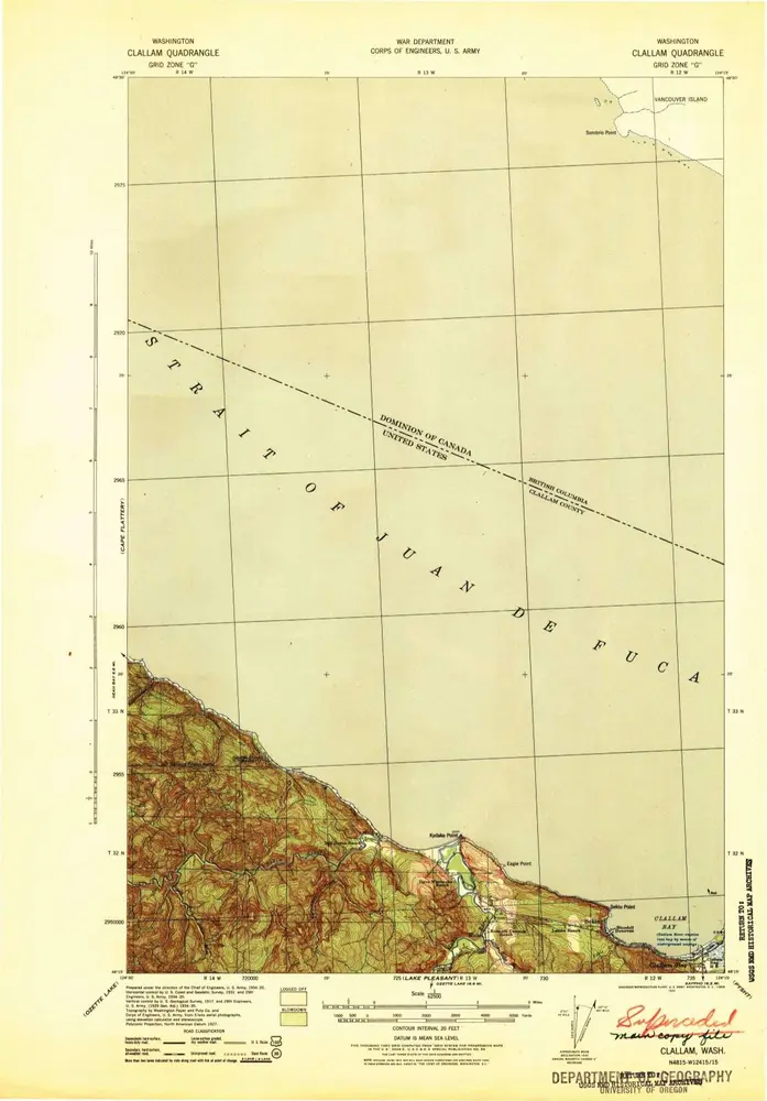
Clallam
View on external website
View digitized
Einrichtung:
United States Geological Survey
Vollständiger Titel:
Clallam
Jahr der Abbildung:
1942
Maßstab der Karte:
1:62 500
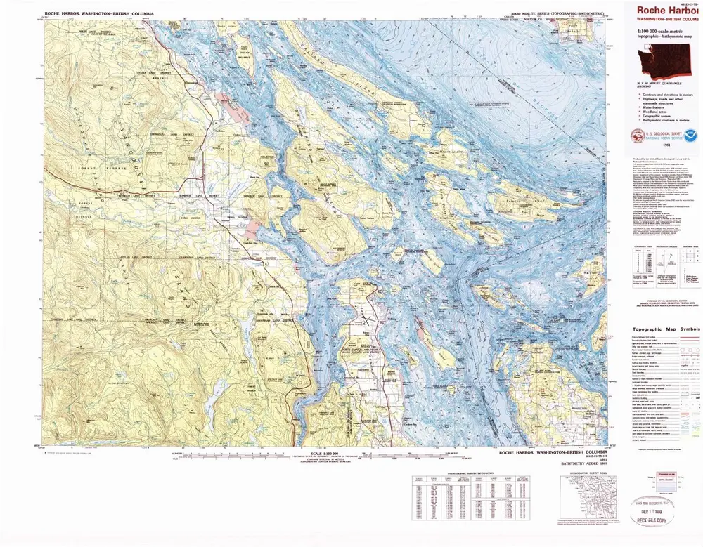
Roche Harbor
1981
1:100k
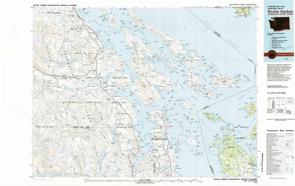
Roche Harbor
1981
1:100k
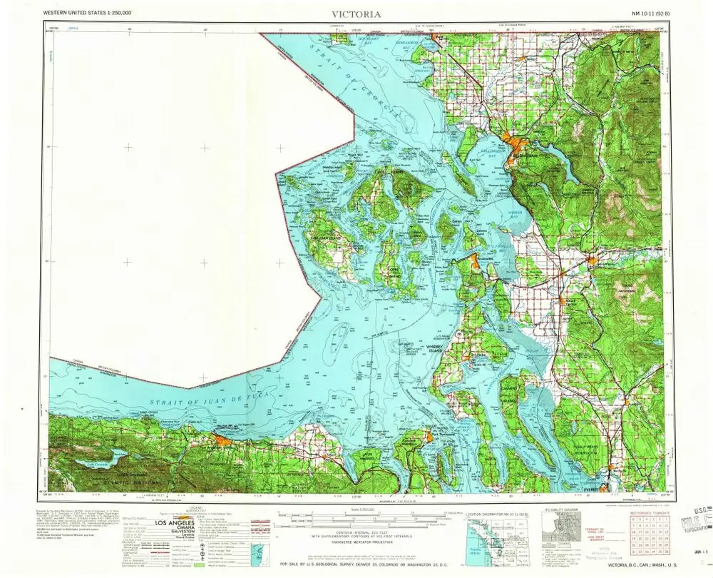
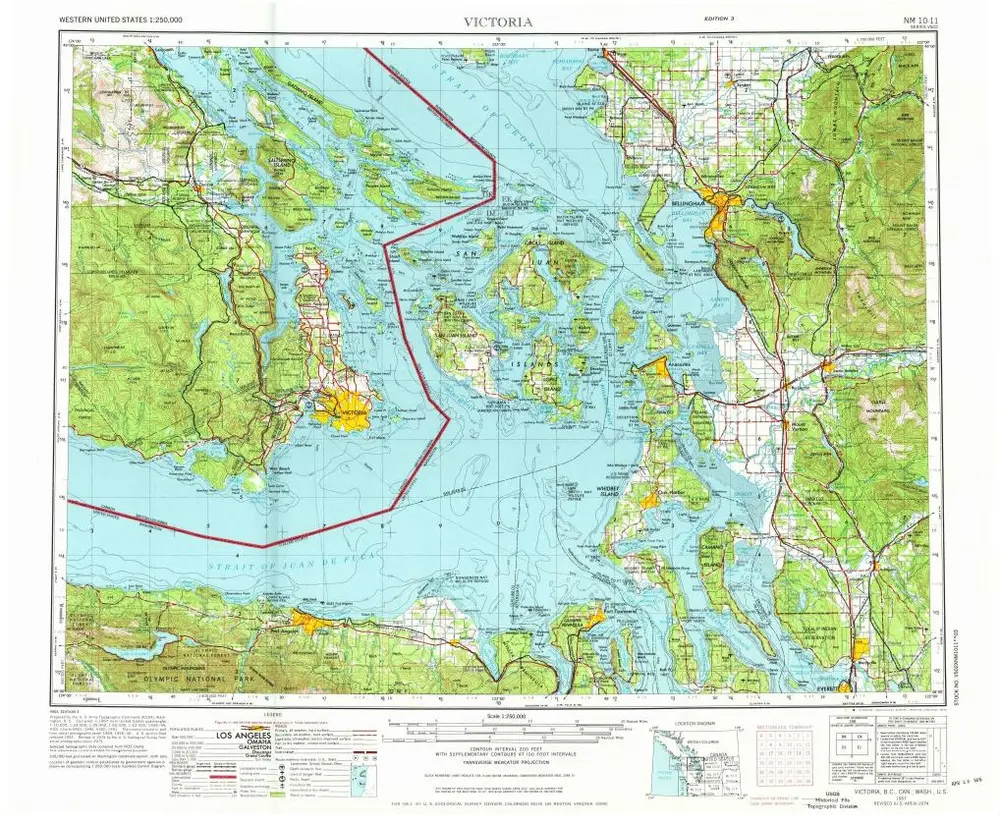
Victoria
1957
1:250k
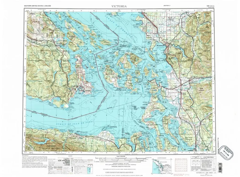
Victoria
1957
1:250k
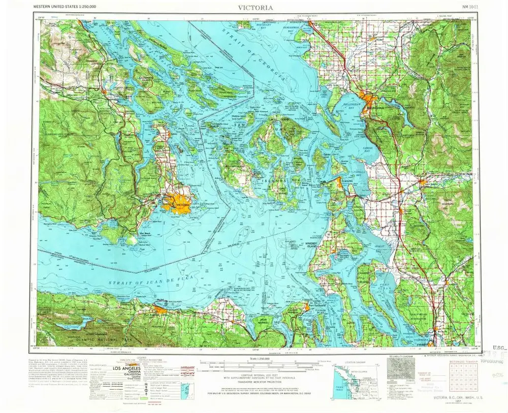
Victoria
1957
1:250k
Victoria
1957
1:250k
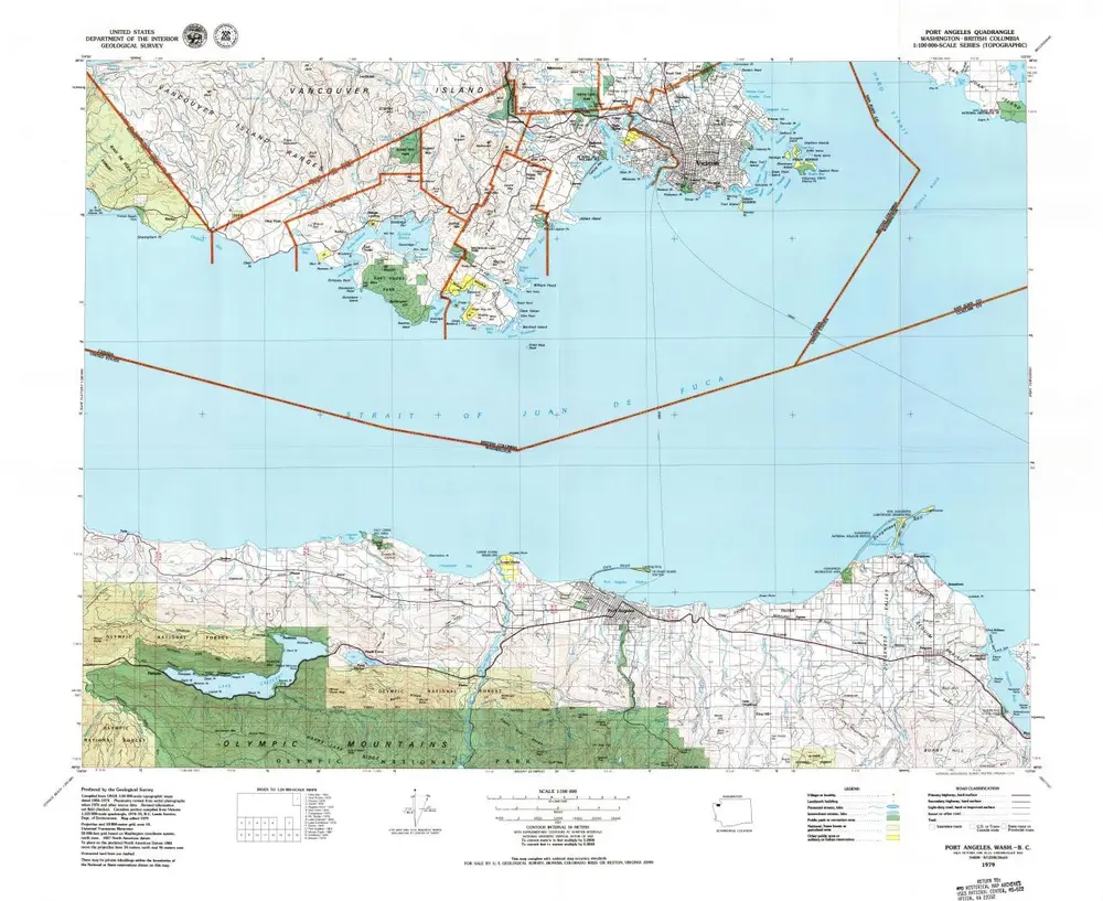
Port Angeles
1979
1:100k
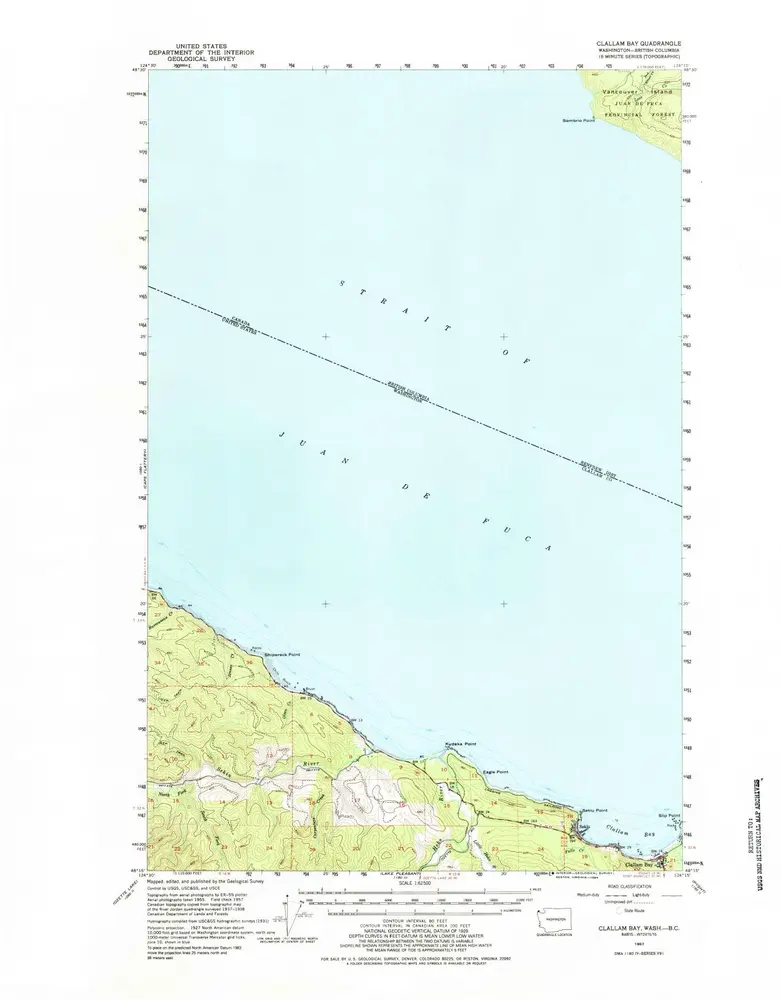
Clallam Bay
1957
1:63k
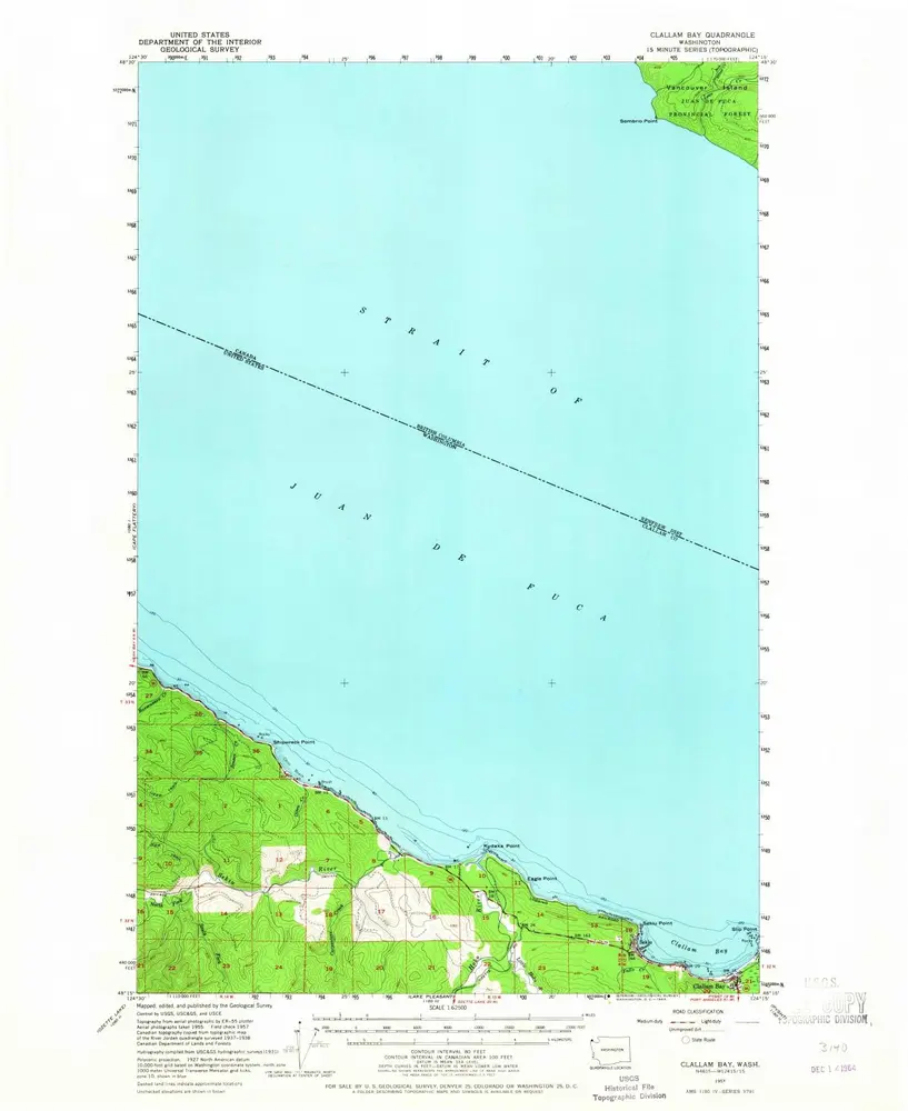
Clallam Bay
1957
1:63k
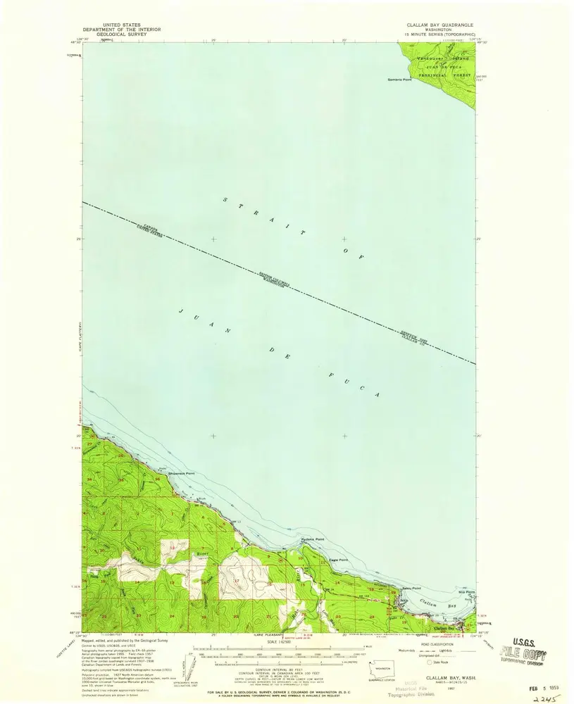
Clallam Bay
1957
1:63k
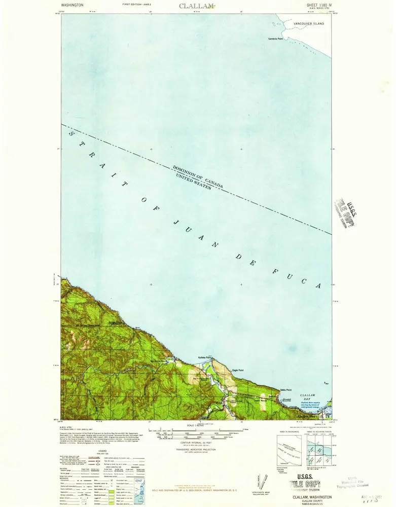
Clallam
1942
1:63k
Clallam
1935
1:63k
Geschichte