Project
Community
News
My App
My maps
Katalogisierte Karte
Corunna
View on external website
View digitized
Einrichtung:
United States Geological Survey
Vollständiger Titel:
Corunna
Jahr der Abbildung:
1944
Maßstab der Karte:
1:62 500
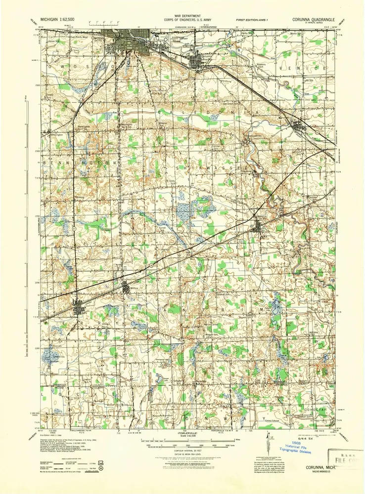
Corunna
1944
1:63k
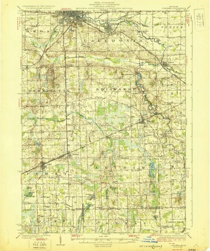
Corunna
1929
1:63k
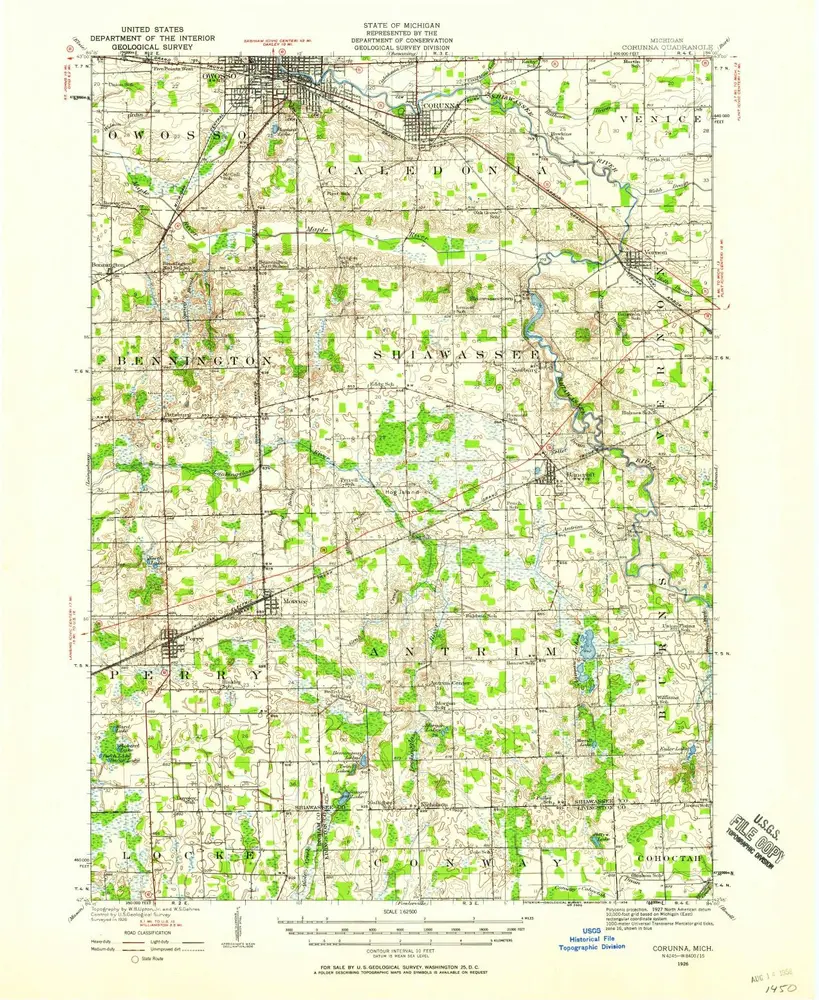
Corunna
1926
1:63k
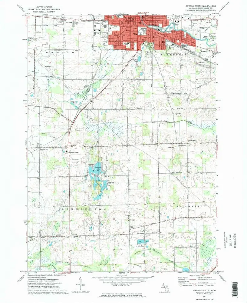
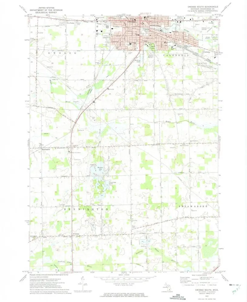
Owosso South
1972
1:24k
Owosso South
1972
1:24k
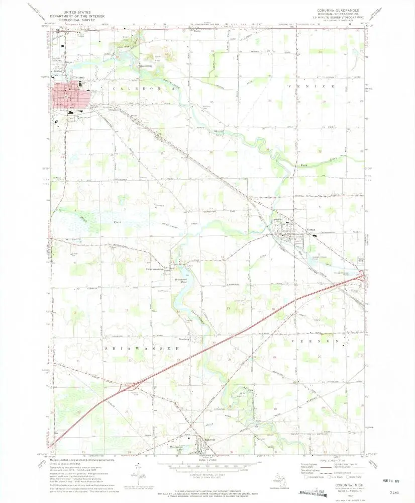
Corunna
1972
1:24k
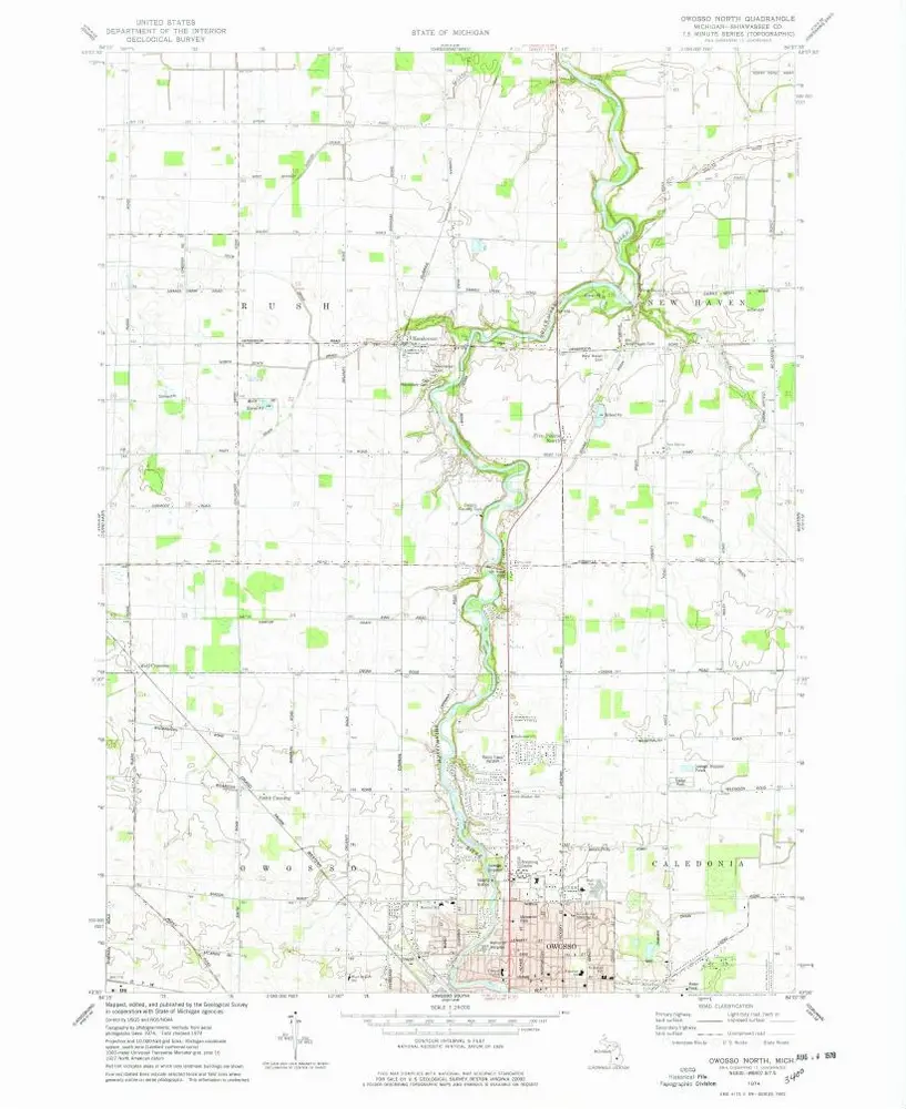
Owosso North
1974
1:24k
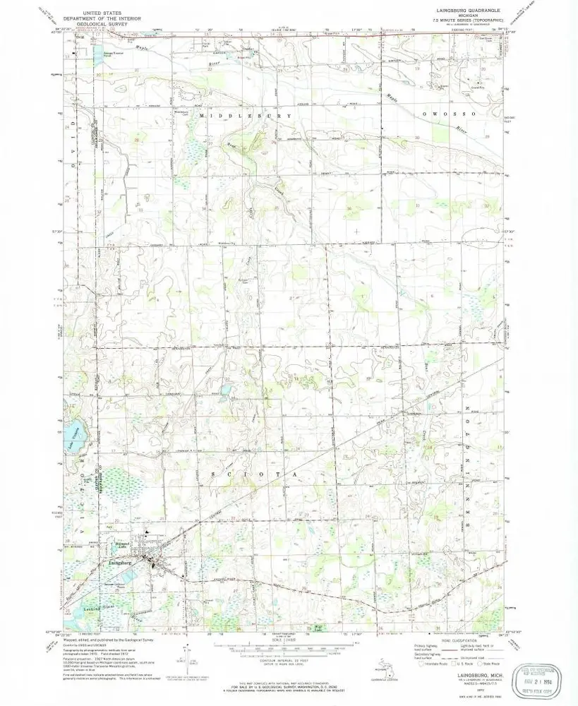
Laingsburg
1972
1:24k
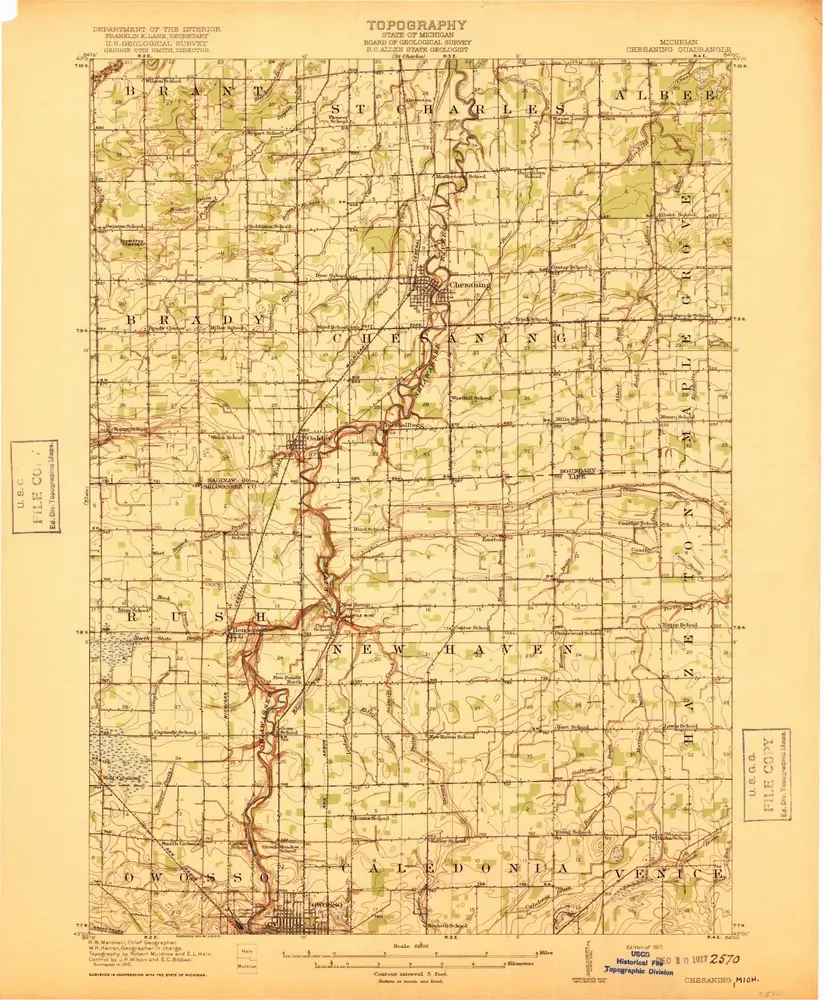
Chesaning
1917
1:63k
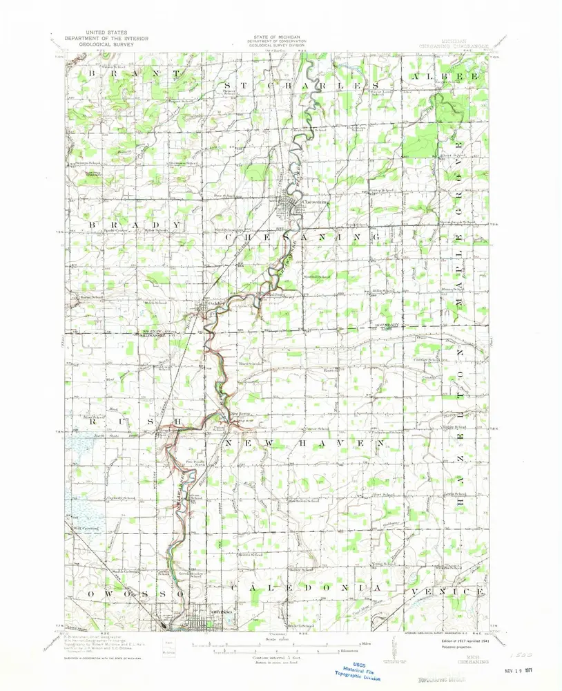
Chesaning
1917
1:63k
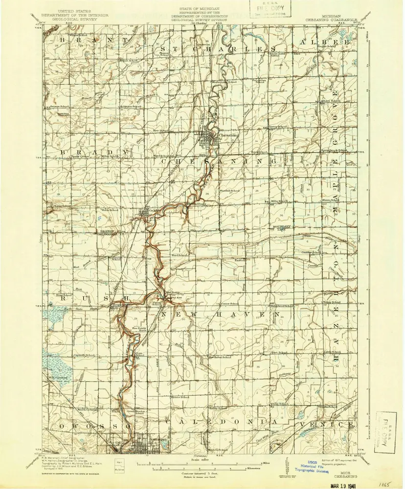
Chesaning
1917
1:63k
Geschichte