Project
Community
News
My App
My maps
Cataloged map
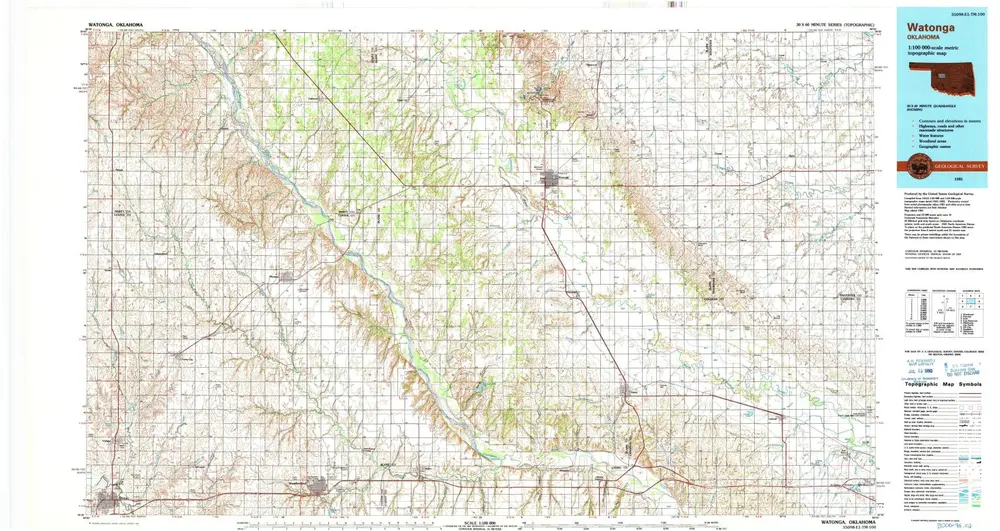
Watonga
View on external website
View digitized
Institution:
United States Geological Survey
Full title:
Watonga
Depicted:
1985
Pubdate:
1990
Map scale:
1:100 000
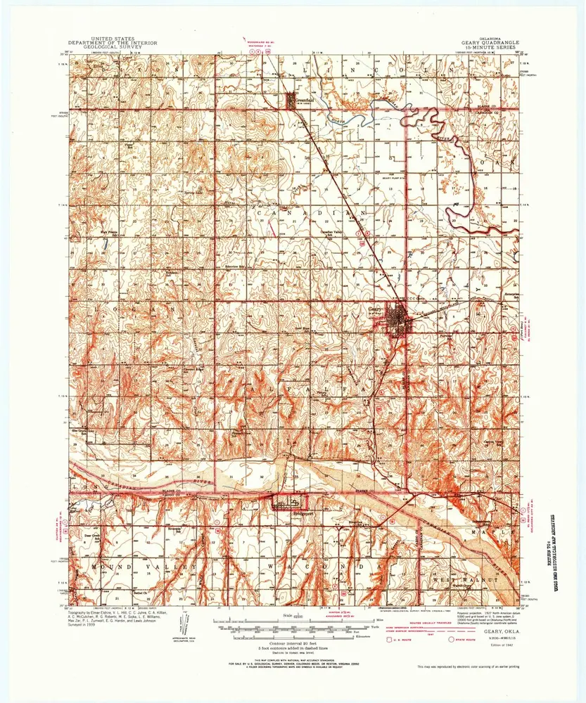
Geary
1942
1:63k
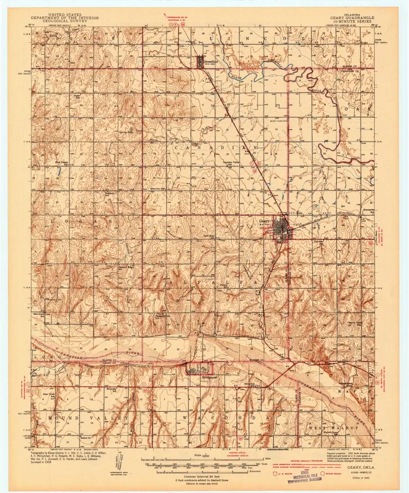
Geary
1942
1:63k
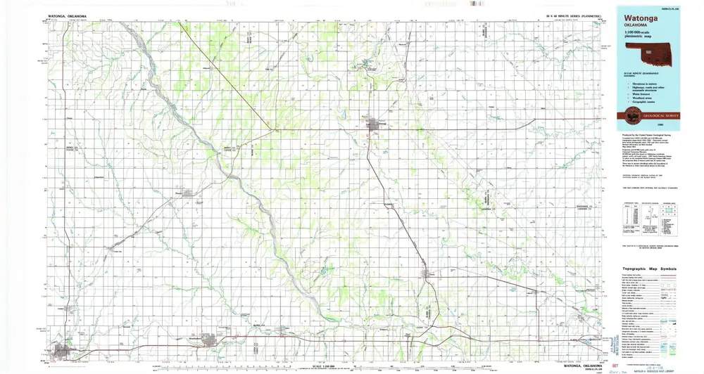
Watonga
1985
1:100k
Watonga
1985
1:100k
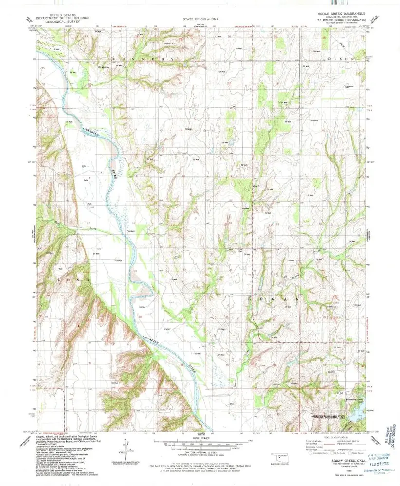
Squaw Creek
1985
1:24k
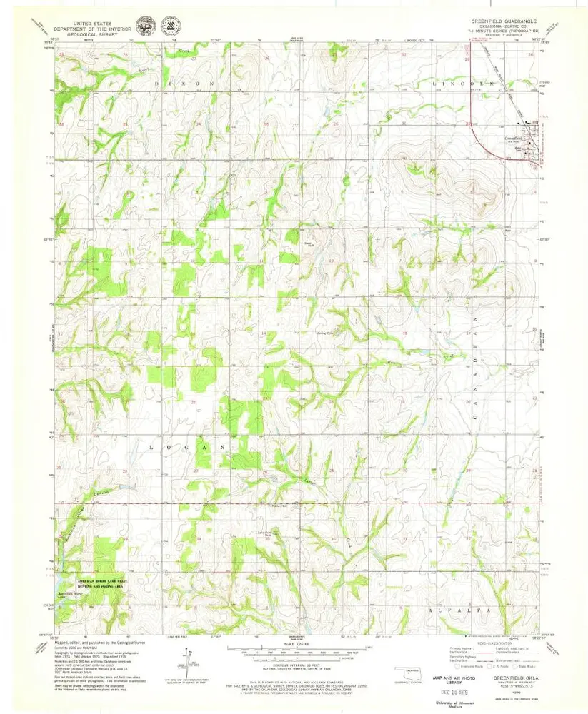
Greenfield
1979
1:24k
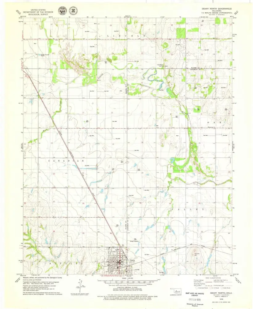
Geary North
1979
1:24k
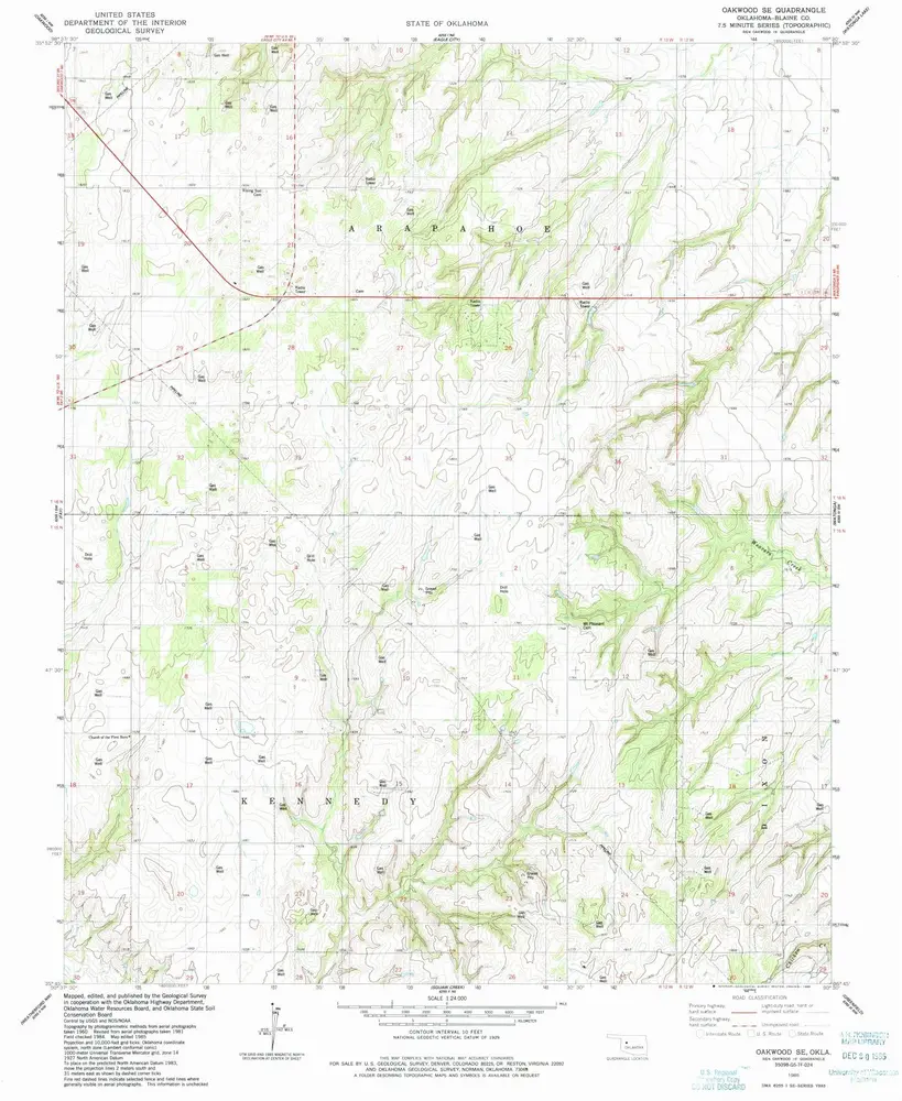
Oakwood SE
1985
1:24k
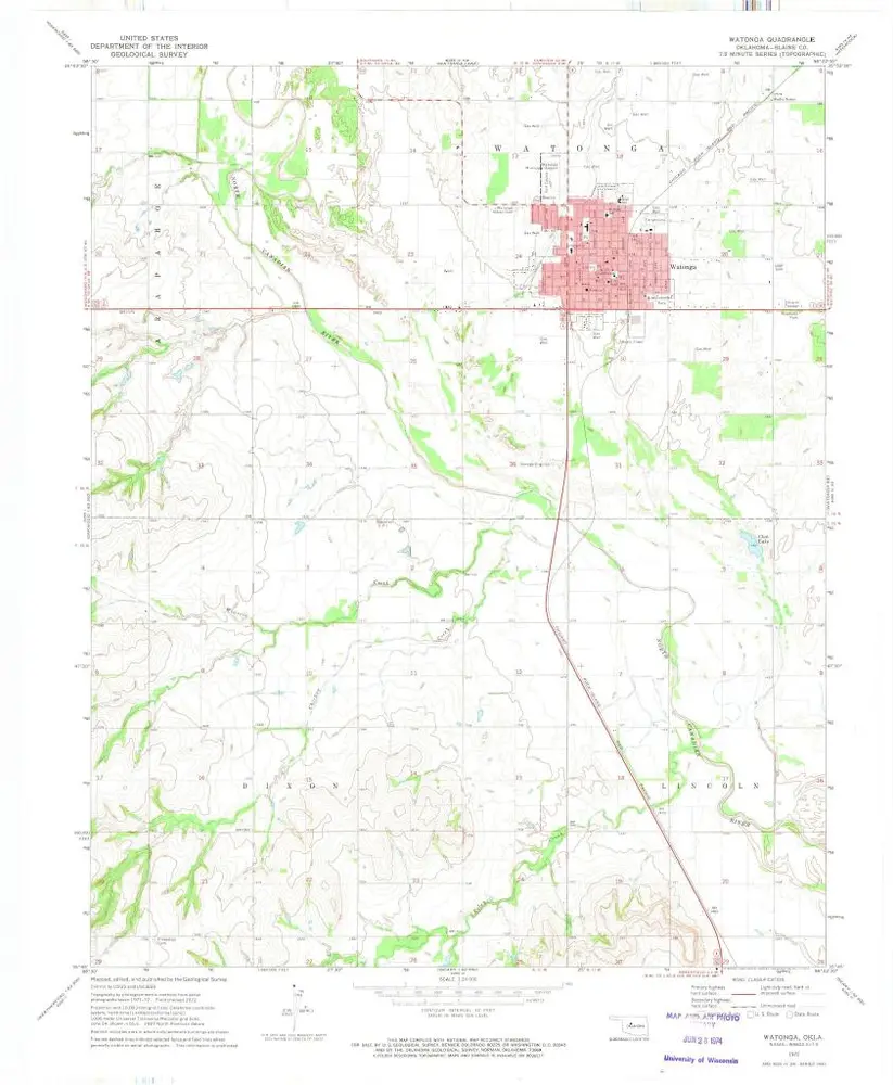
Watonga
1972
1:24k
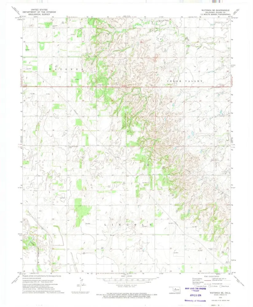
Watonga SE
1972
1:24k
History