Project
Community
News
My App
My maps
Katalogisierte Karte
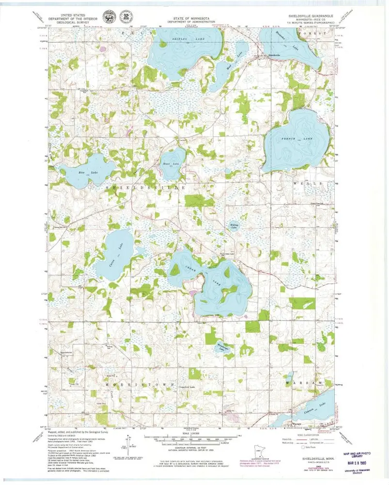
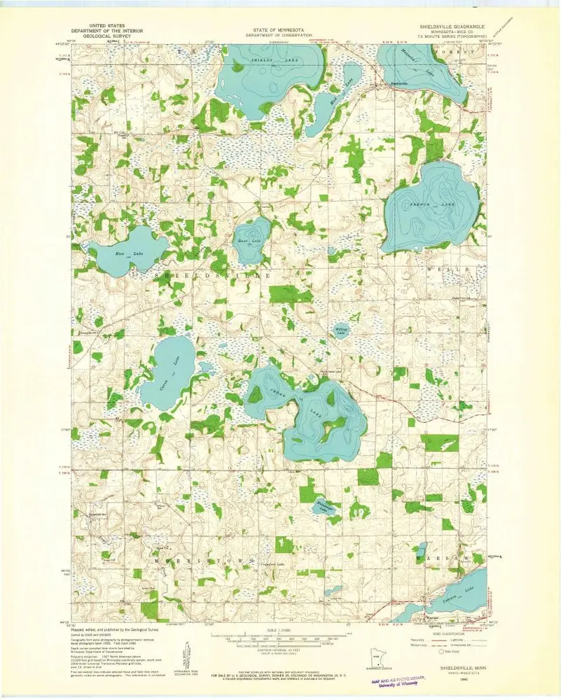
Shieldsville
View on external website
View digitized
Einrichtung:
United States Geological Survey
Vollständiger Titel:
Shieldsville
Jahr der Abbildung:
1960
Veröffentlichungsdatum:
1979
Maßstab der Karte:
1:24 000
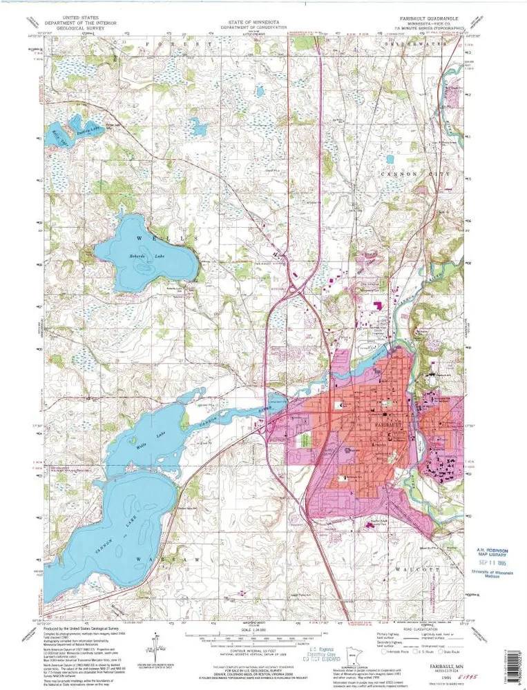
Faribault
1991
1:24k
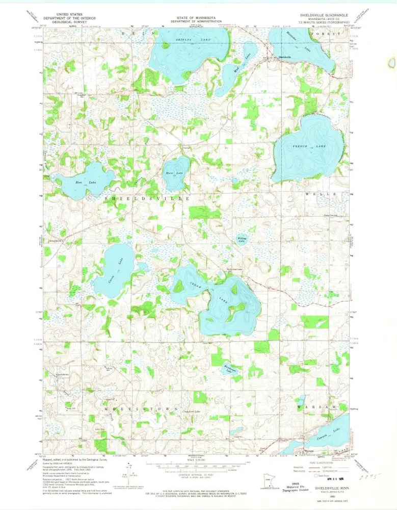
Shieldsville
1960
1:24k
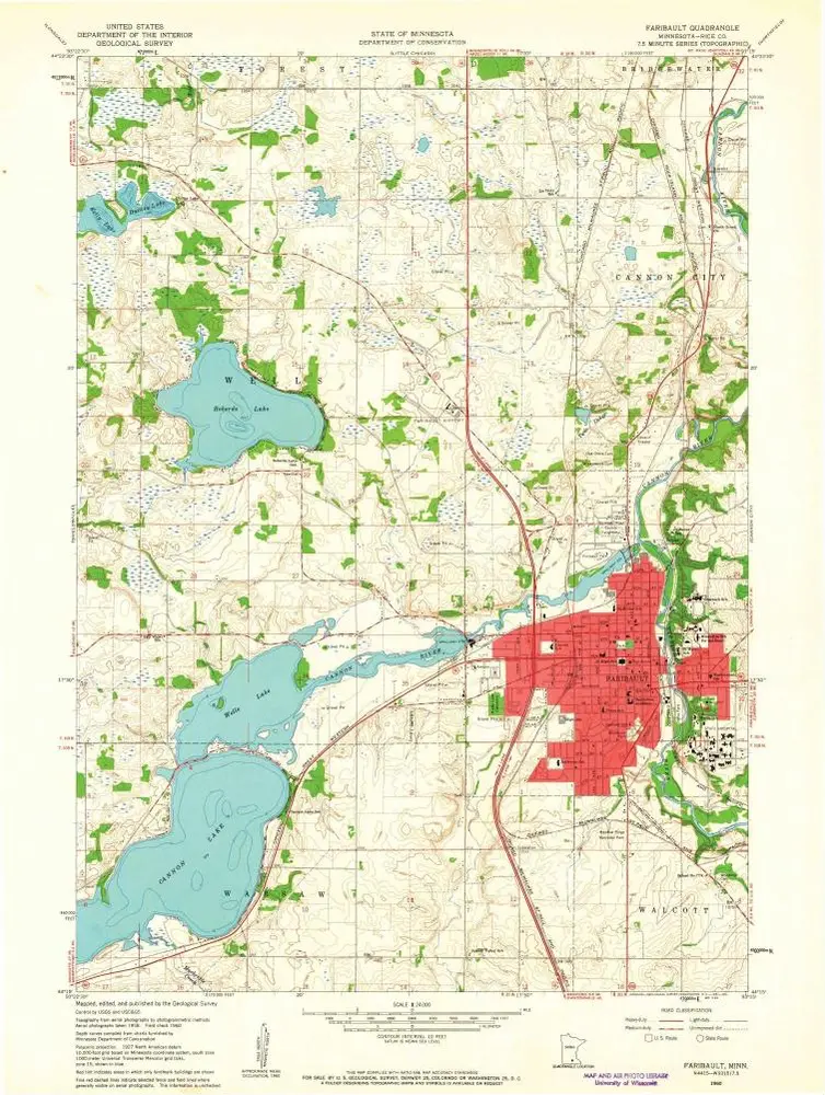
Faribault
1960
1:24k
Shieldsville
1960
1:24k
Shieldsville
1960
1:24k
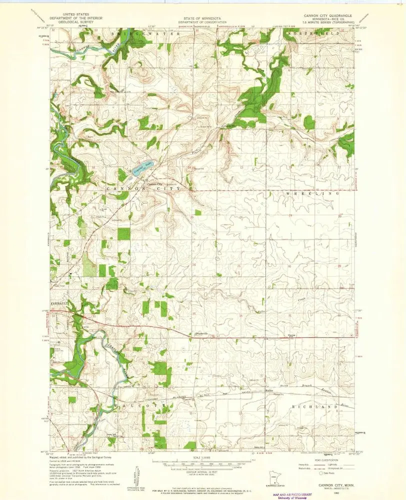
Cannon City
1960
1:24k
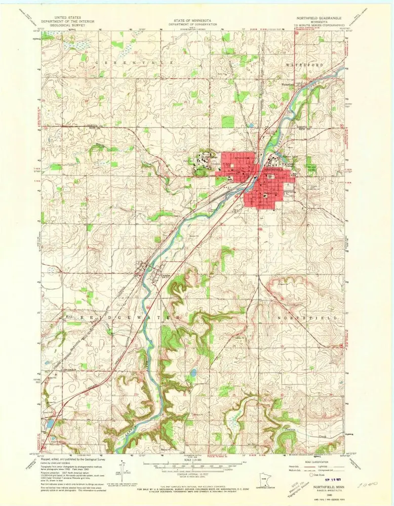
Northfield
1991
1:24k
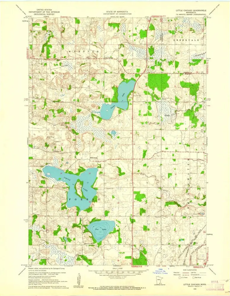
Little Chicago
1960
1:24k
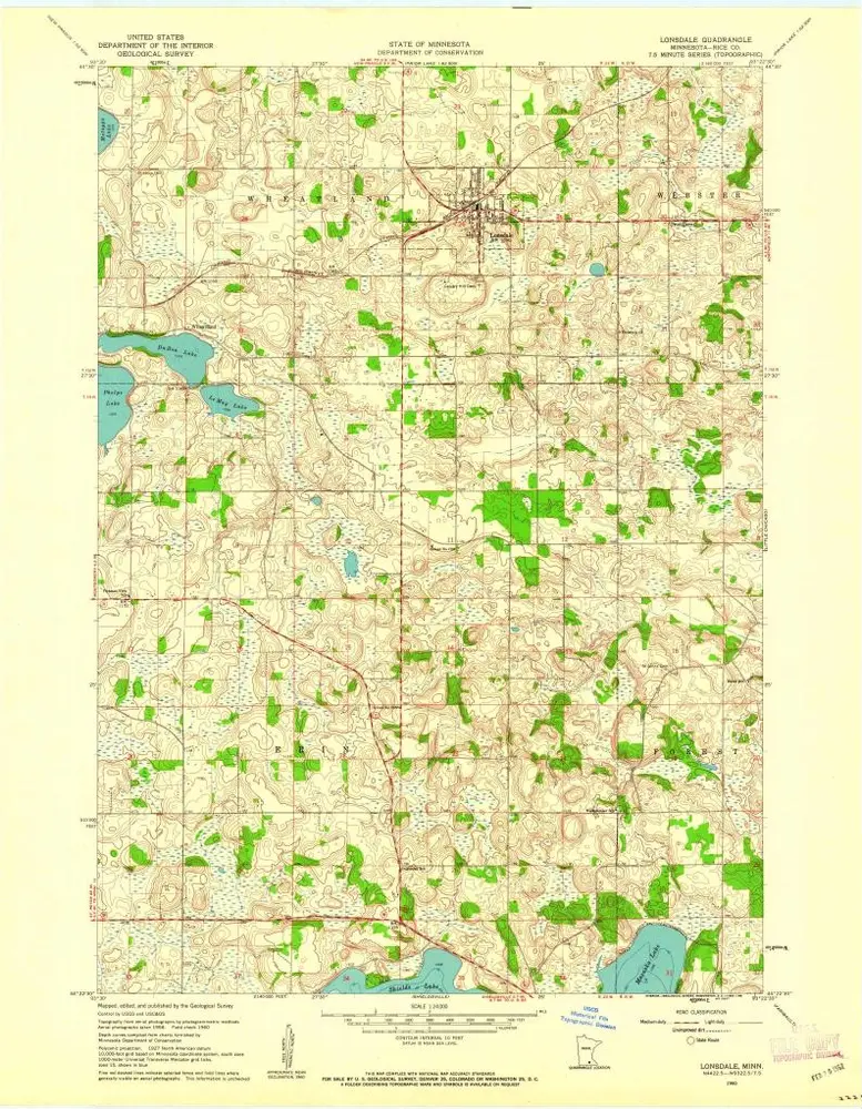
Lonsdale
1960
1:24k
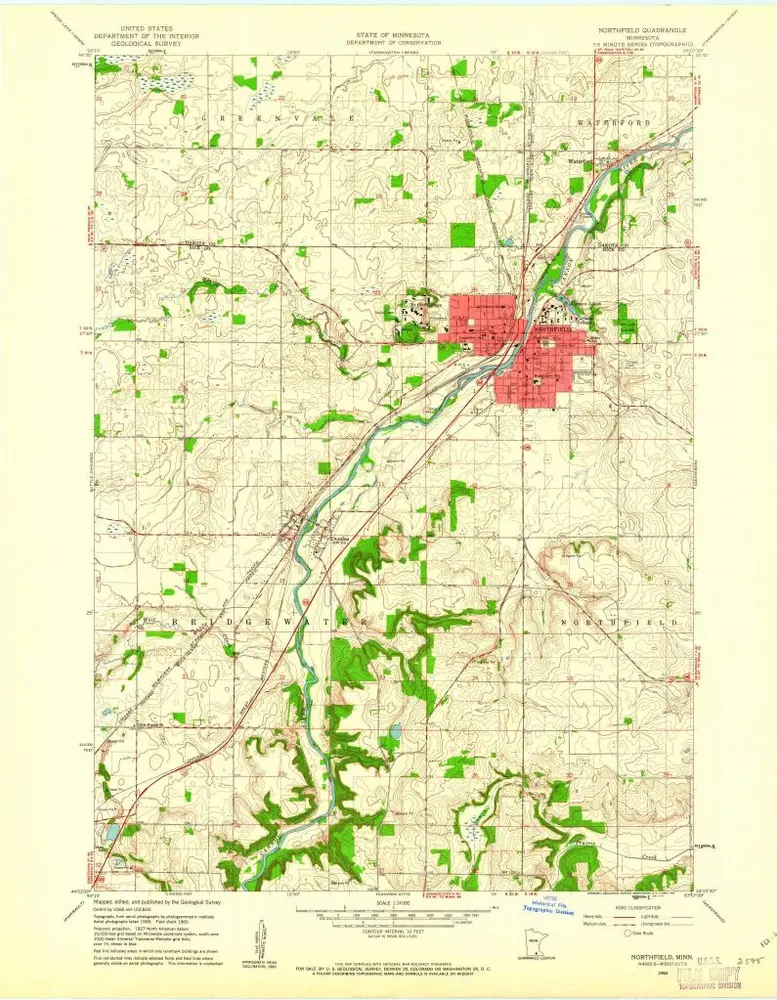
Northfield
1960
1:24k
Northfield
1960
1:24k
Geschichte