Project
Community
News
My App
My maps
Cataloged map
Charleston
View on external website
View digitized
Institution:
United States Geological Survey
Full title:
Charleston
Depicted:
1939
Pubdate:
1941
Map scale:
1:62 500
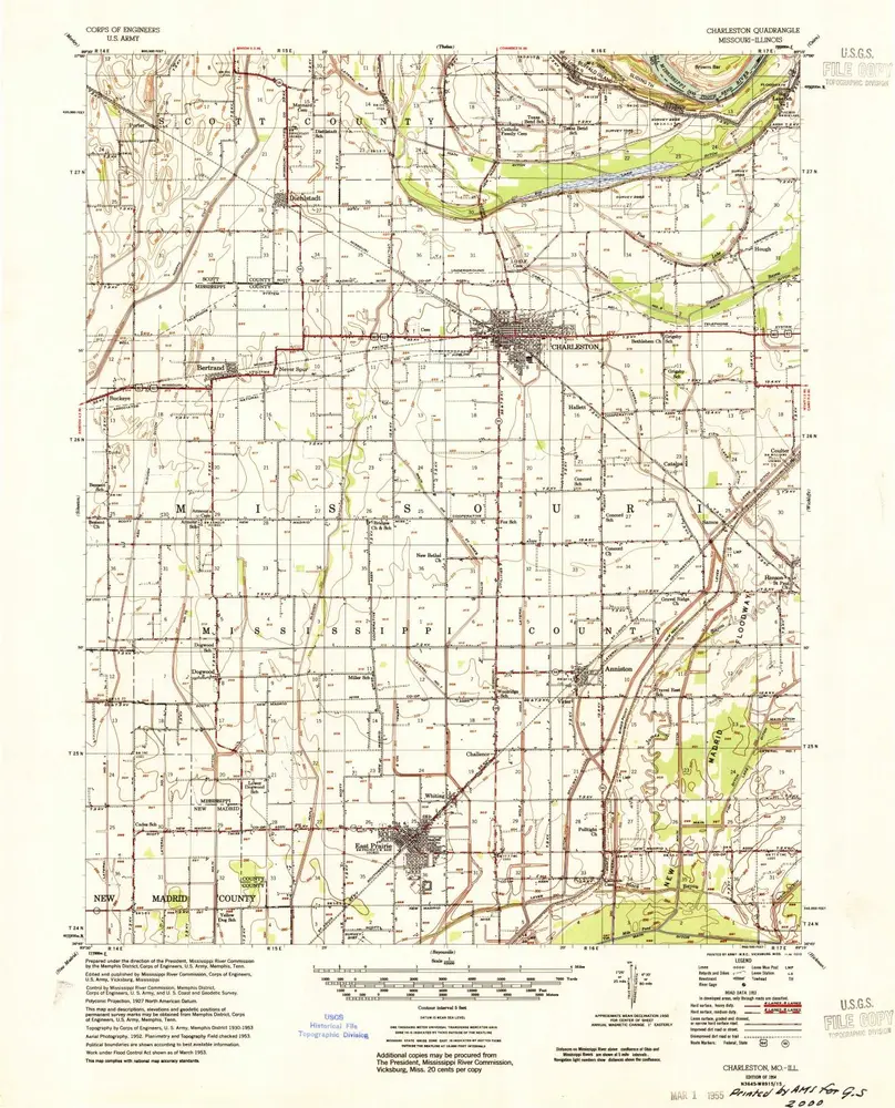
Charleston
1954
1:63k
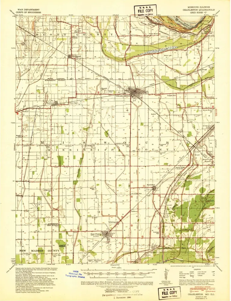
Charleston
1939
1:63k
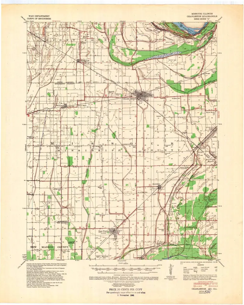
Charleston
1939
1:63k
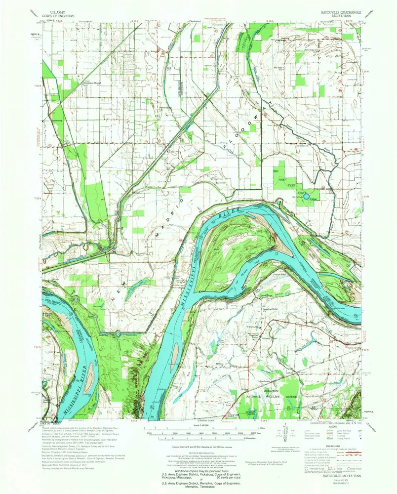
Bayouville
1972
1:63k
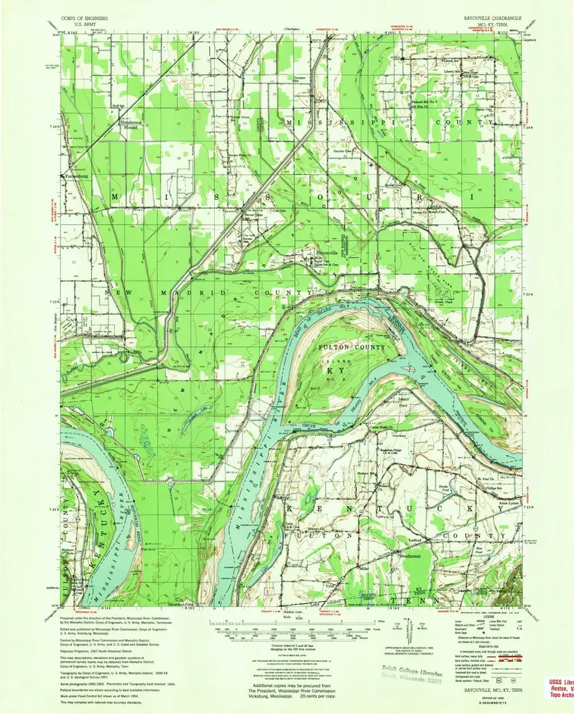
Bayouville
1955
1:63k
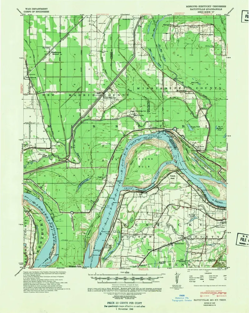
Bayouville
1939
1:63k
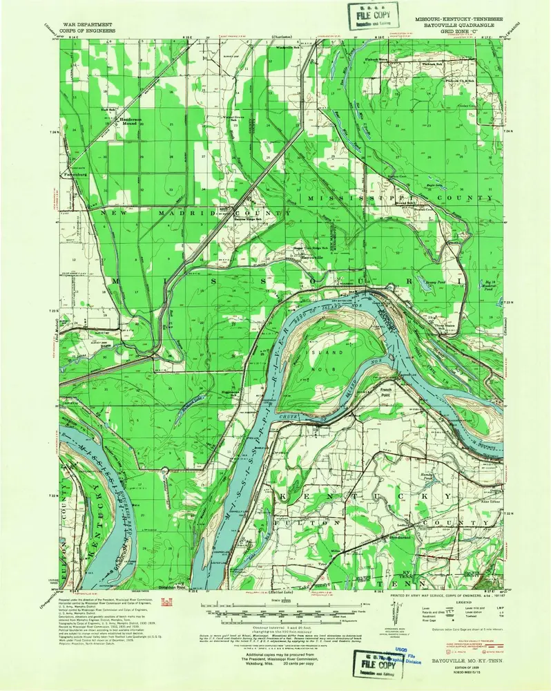
Bayouville
1939
1:63k
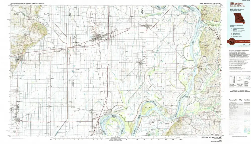
Sikeston
1985
1:100k
Henderson Mound
1969
1:24k
Bayouville
1969
1:24k
Wolf Island
1969
1:24k
Wolf Island
1969
1:24k
History