Katalogisierte Karte
Greenville

Einrichtung:United States Geological Survey
Vollständiger Titel:Greenville
Jahr der Abbildung:1969
Veröffentlichungsdatum:1972
Maßstab der Karte:1:24 000
Greenville
1969
1:24k
Shiocton
1992
1:24k
Shiocton
1969
1:24k
Shiocton
1969
1:24k
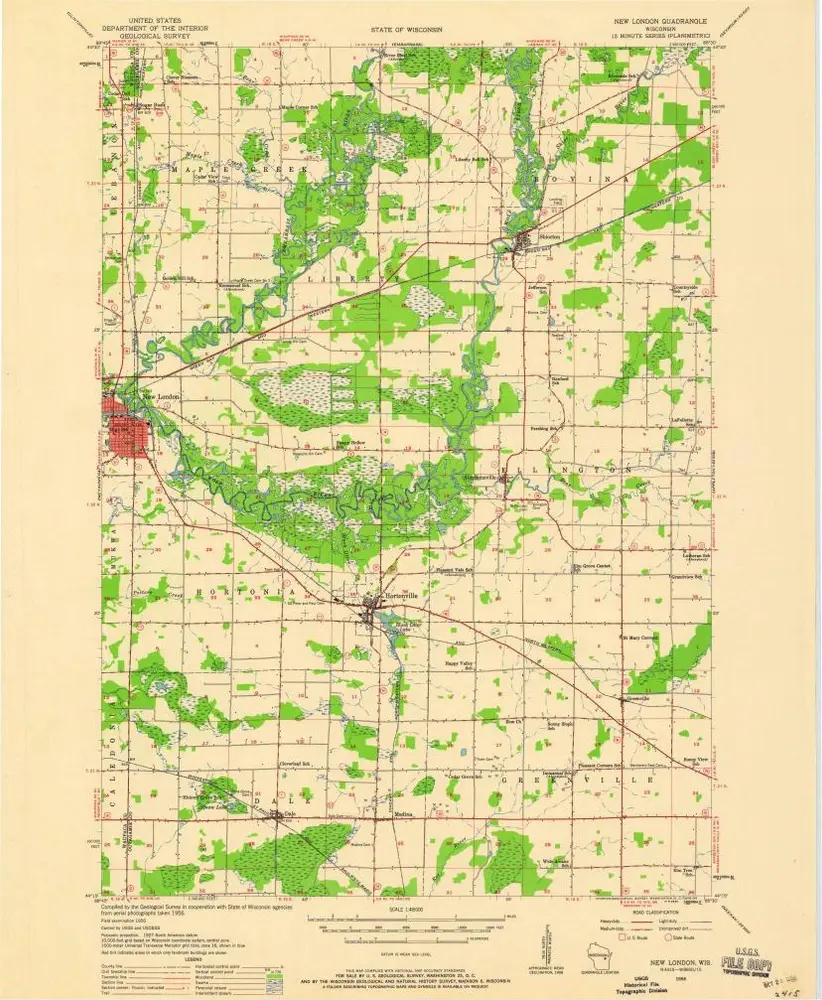
New London
1956
1:48k
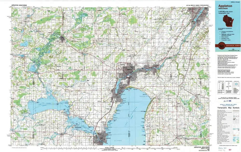
Appleton
1984
1:100k
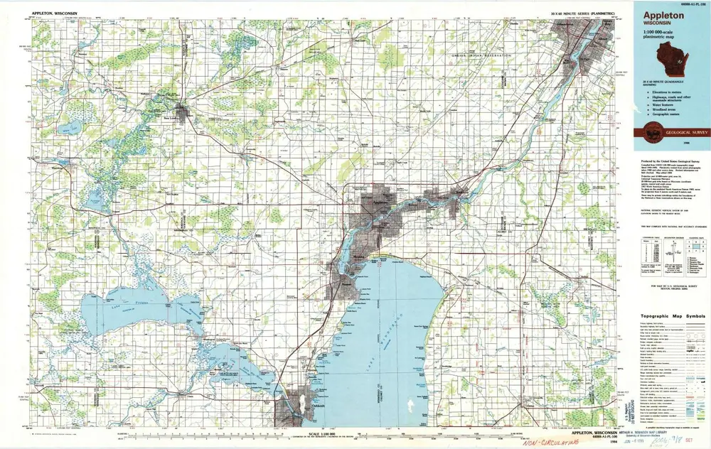
Appleton
1984
1:100k
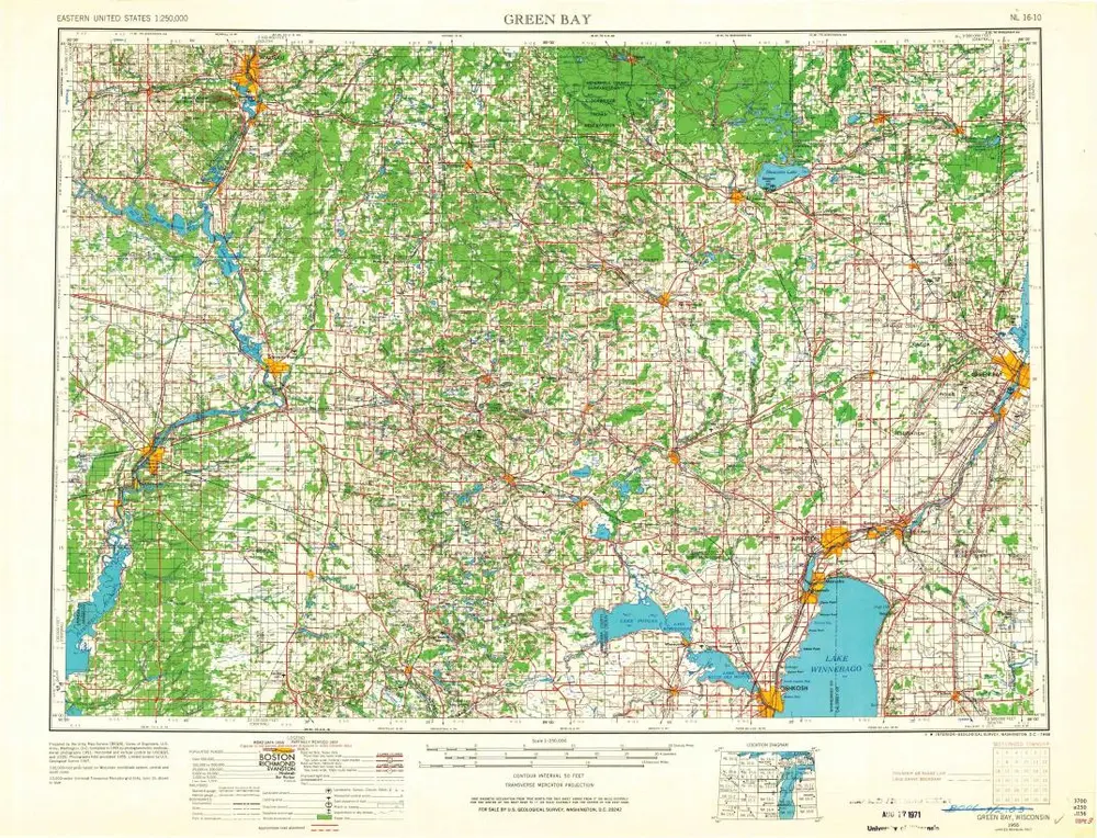
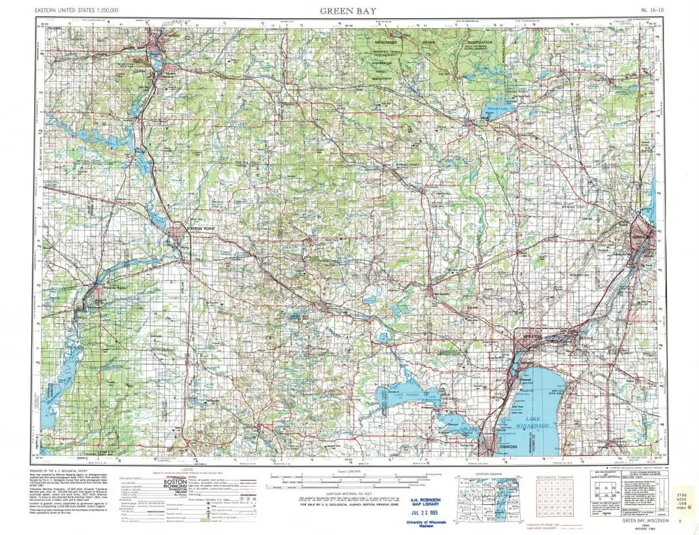
Green Bay
1955
1:250k
Green Bay
1955
1:250k
Map of the location of the Chicago St. Paul and F. du L. R. R. : from Fond du Lac to the state line at BruleÌ River, Wis.
1857
Johnson, S. F.
1:120k