Project
Community
News
My App
My maps
Carte cataloguée
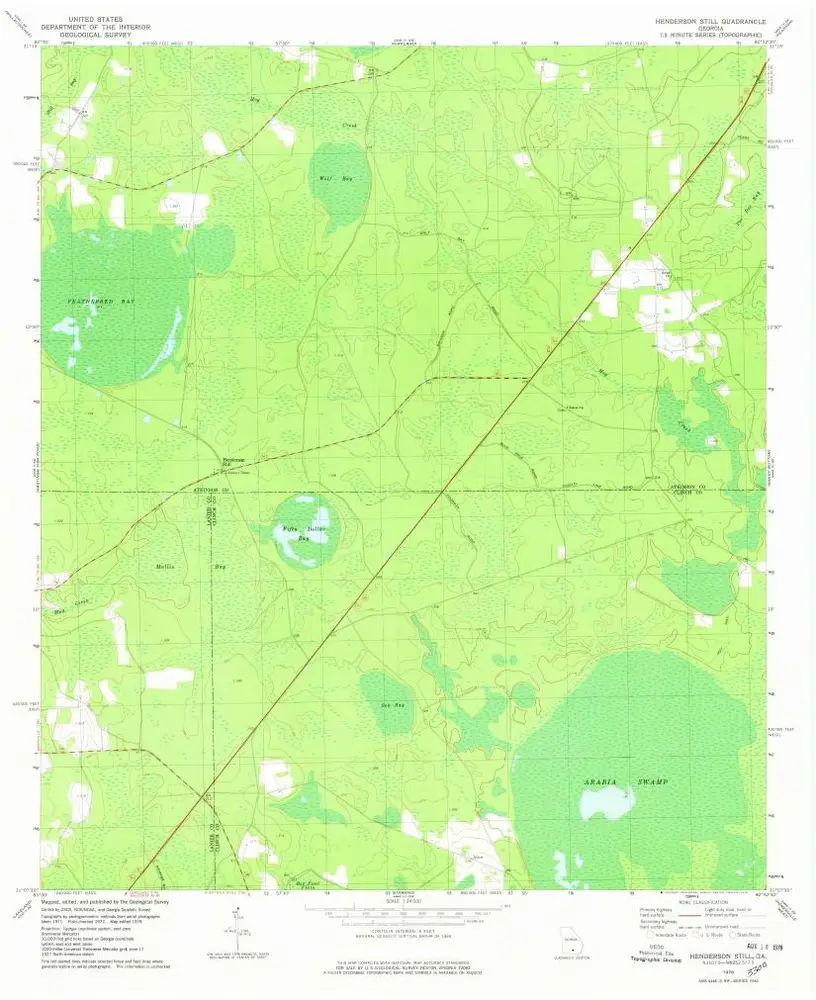
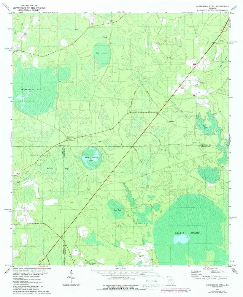
Henderson Still
View on external website
View digitized
Institution:
United States Geological Survey
Titre complet:
Henderson Still
Année de l'image:
1978
Date de publication:
1978
Échelle de la carte:
1:24 000
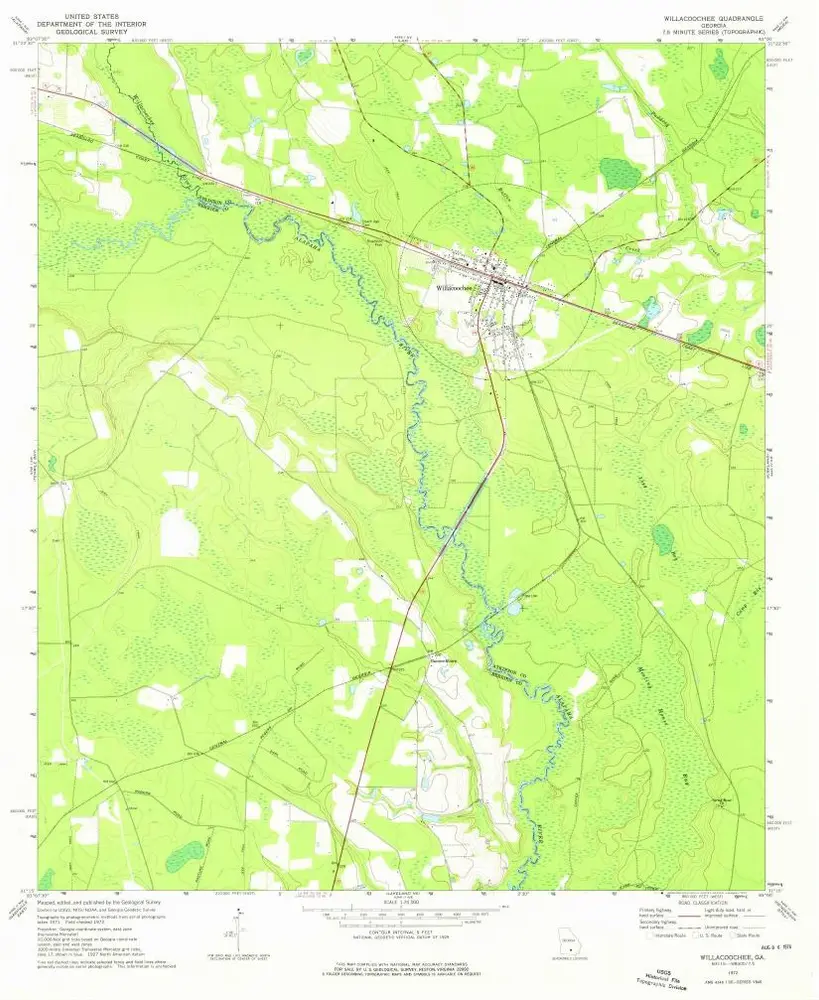
Willacoochee
1972
1:24k
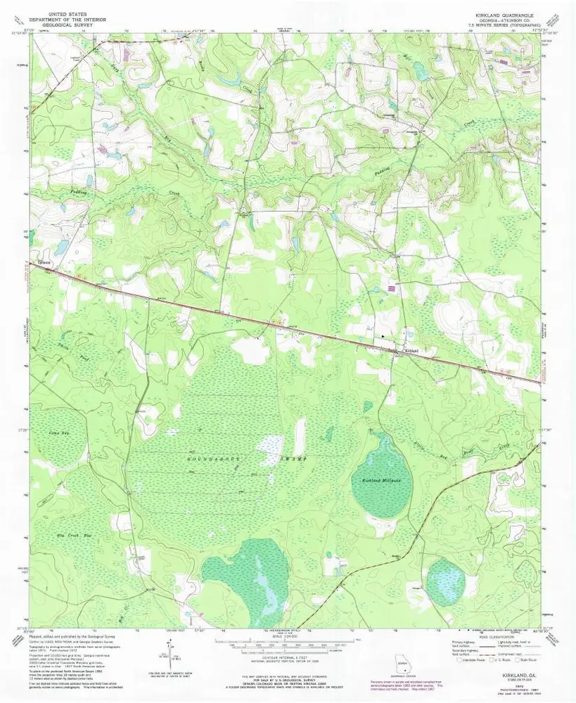
Kirkland
1972
1:24k
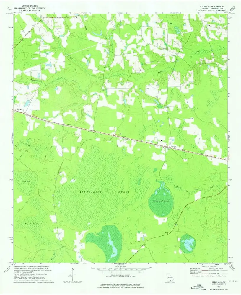
Kirkland
1972
1:24k
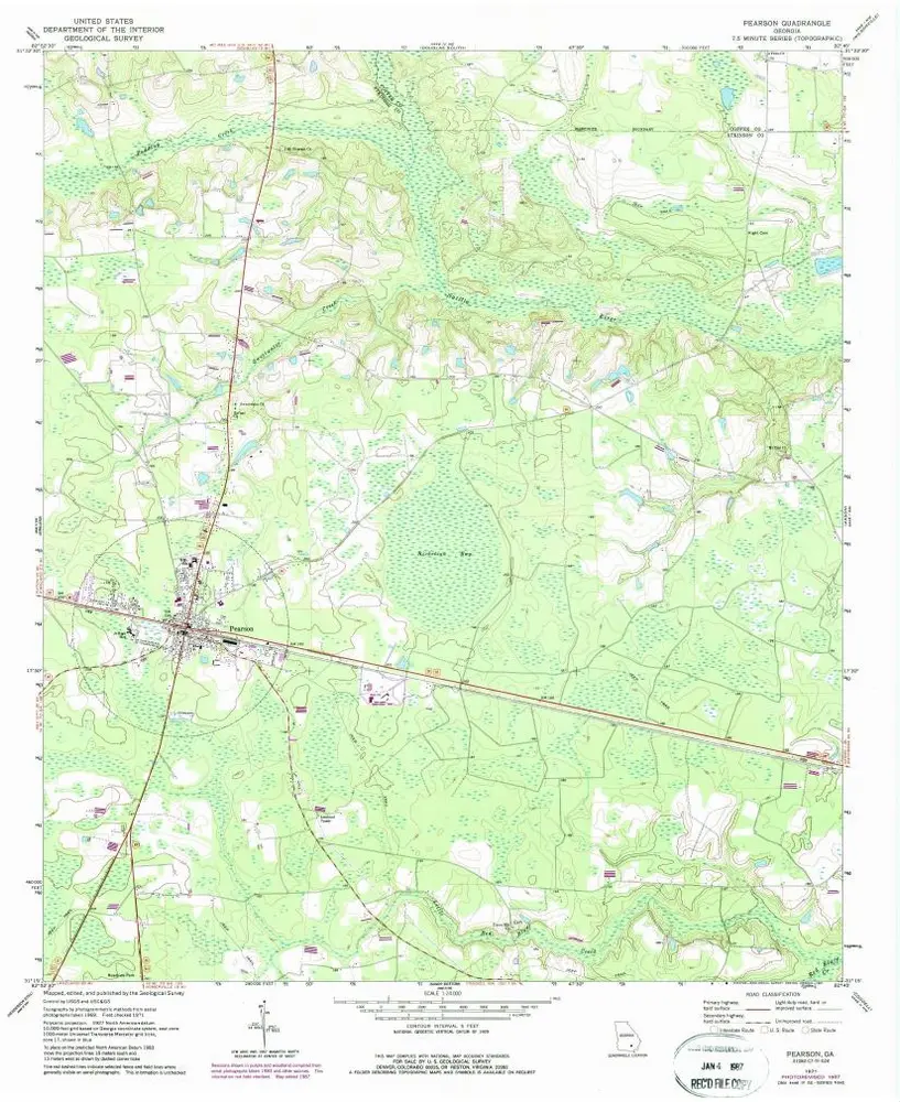
Pearson
1971
1:24k
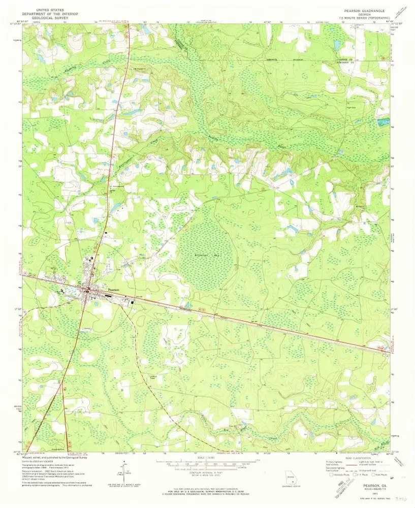
Pearson
1971
1:24k
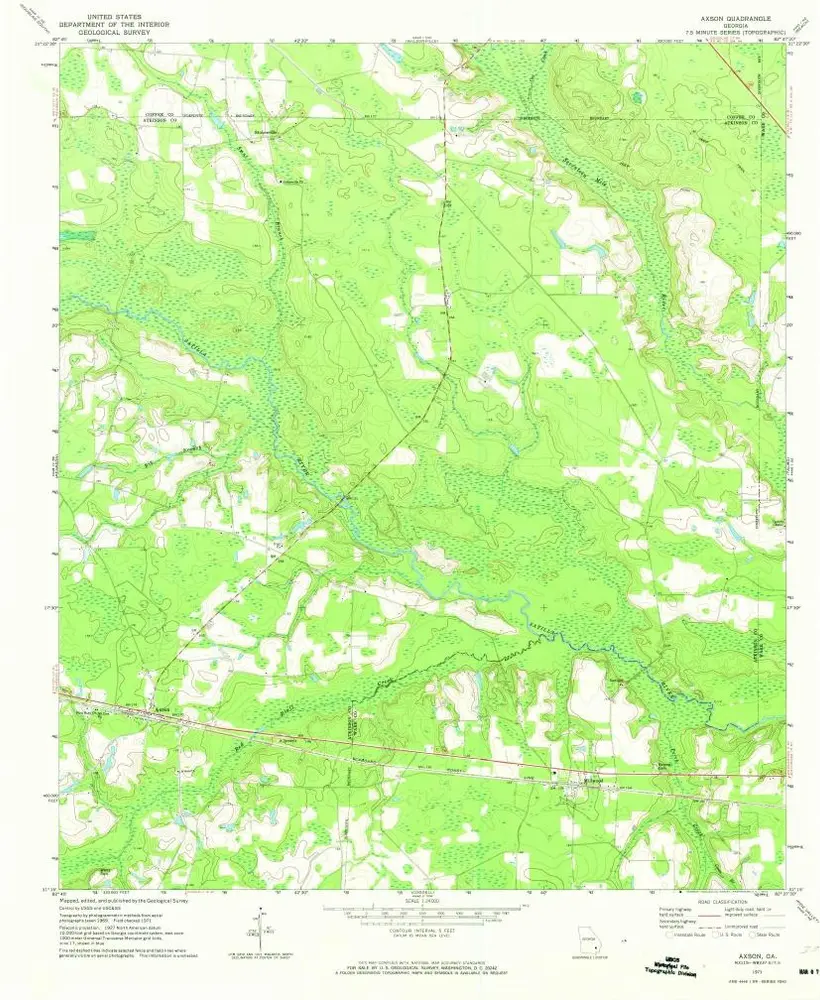
Axson
1971
1:24k
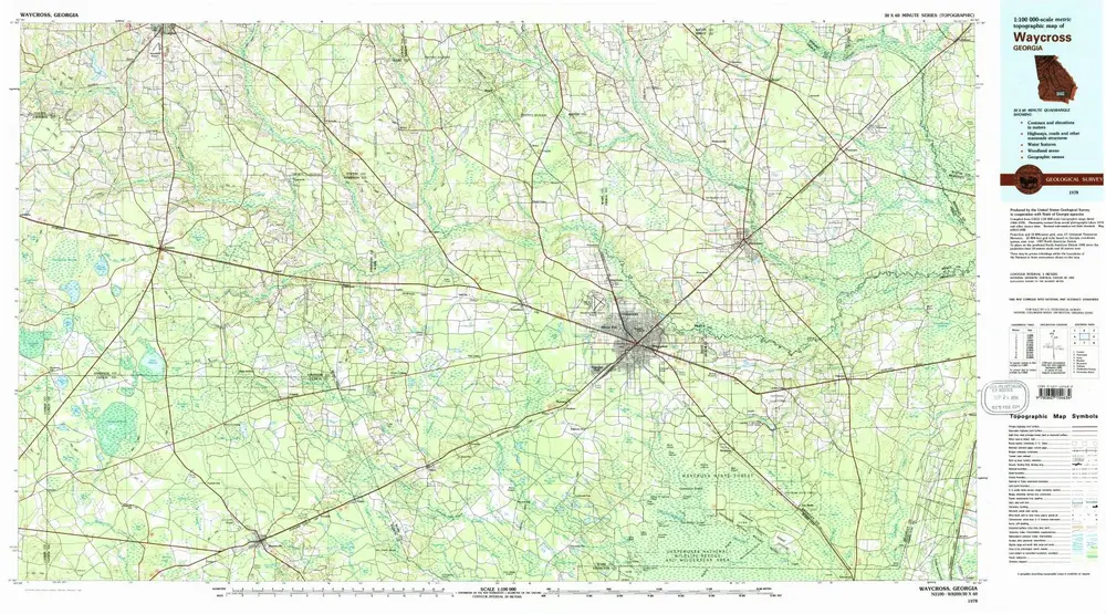
Waycross
1978
1:100k
Henderson Still
1978
1:24k
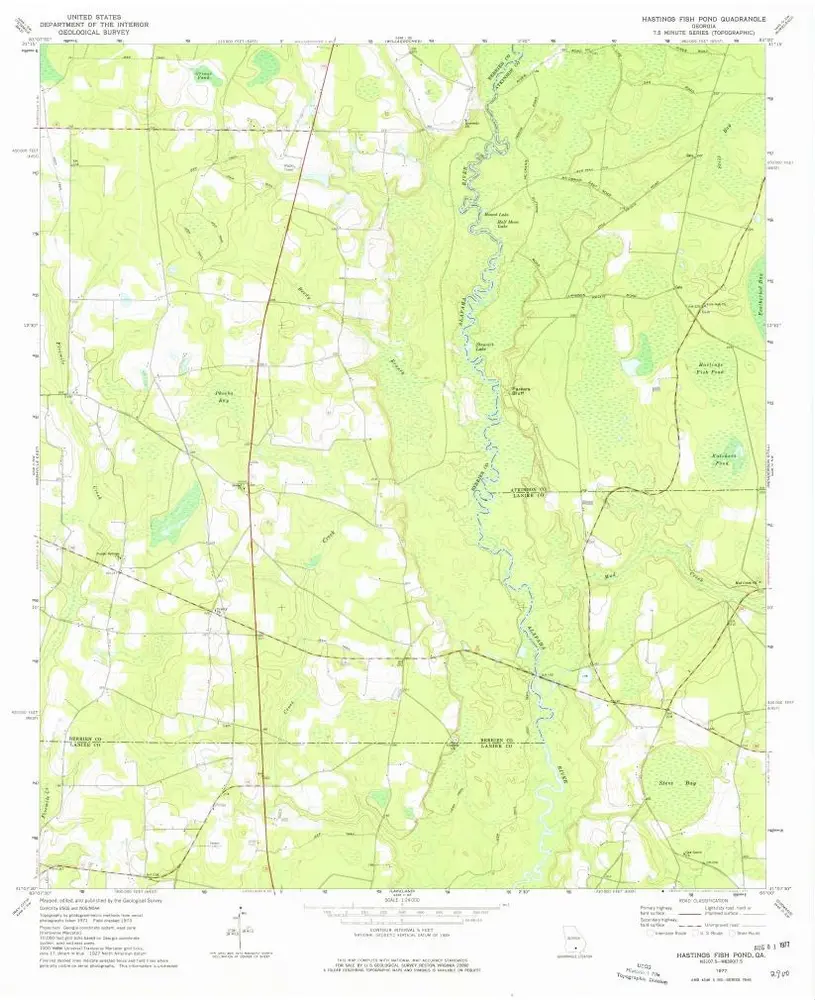
Hastings Fish Pond
1977
1:24k
Henderson Still
1972
1:24k
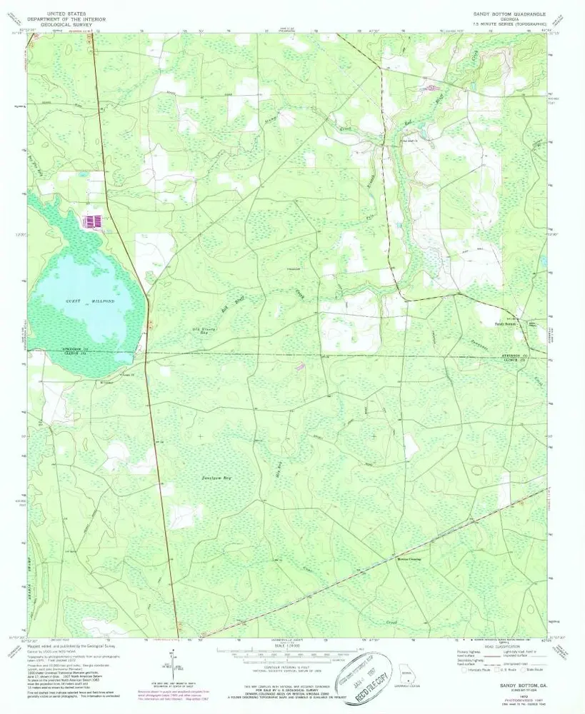
Sandy Bottom
1972
1:24k
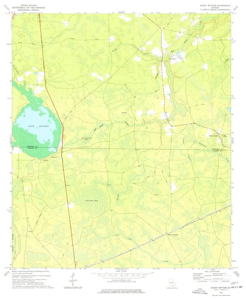
Sandy Bottom
1972
1:24k
L'histoire