Project
Community
News
My App
My maps
Katalogisierte Karte
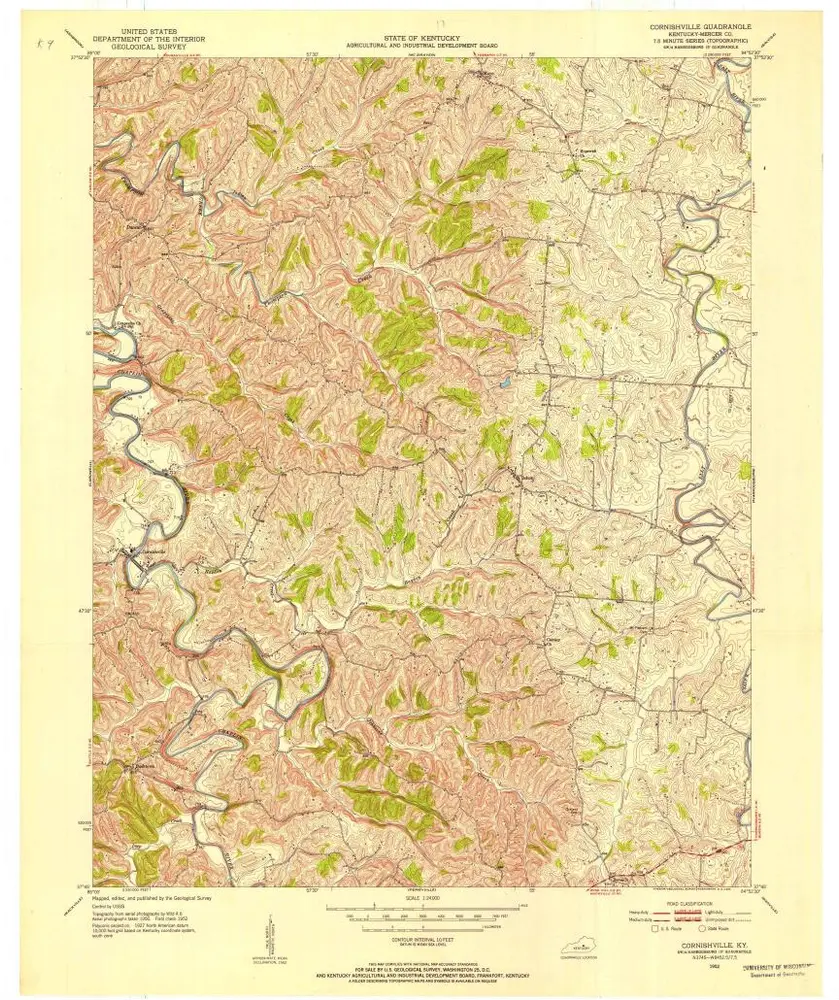
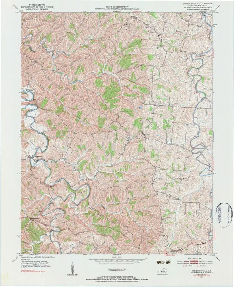
Cornishville
View on external website
View digitized
Einrichtung:
United States Geological Survey
Vollständiger Titel:
Cornishville
Jahr der Abbildung:
1952
Veröffentlichungsdatum:
1953
Maßstab der Karte:
1:24 000
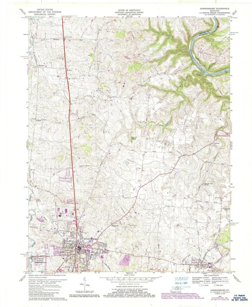
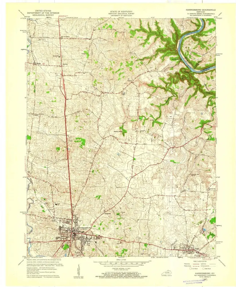
Harrodsburg
1967
1:24k
Harrodsburg
1967
1:24k
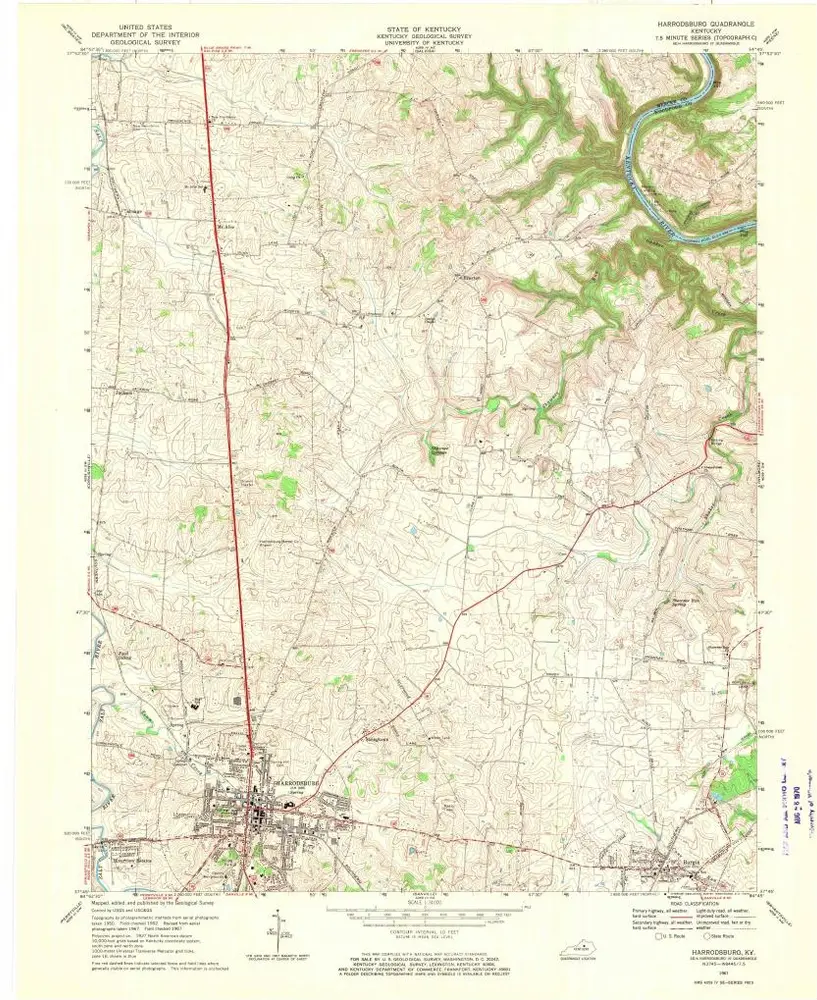
Harrodsburg
1967
1:24k
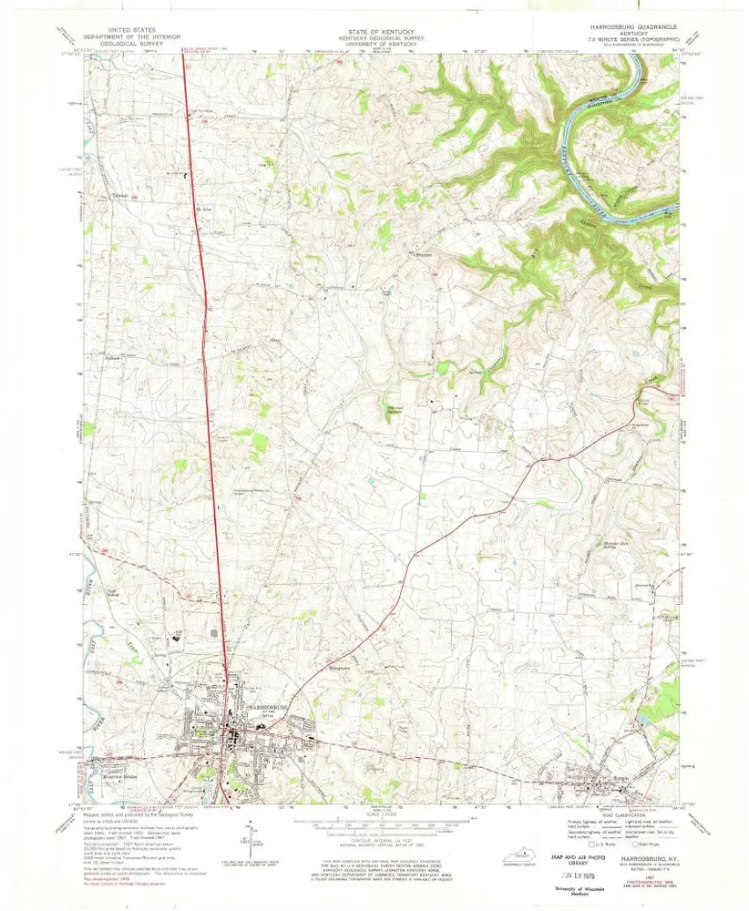
Harrodsburg
1959
1:24k
Cornishville
1952
1:24k
Cornishville
1952
1:24k
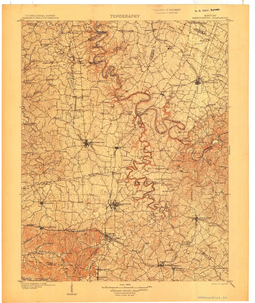
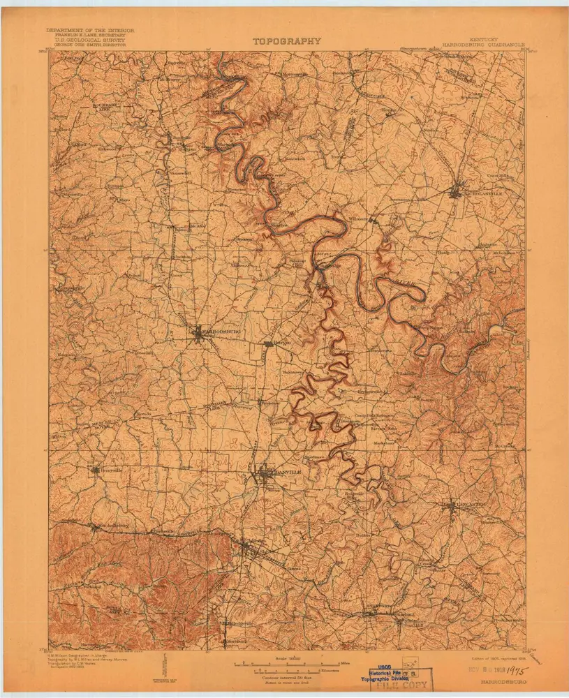
Harrodsburg
1905
1:125k
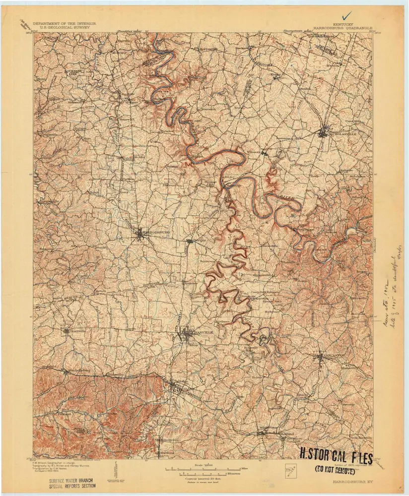
Harrodsburg
1905
1:125k
Harrodsburg
1905
1:125k
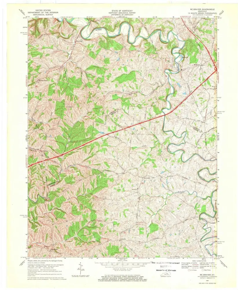
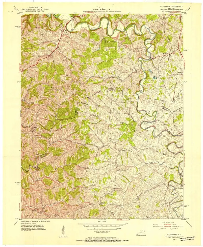
Mc Brayer
1967
1:24k
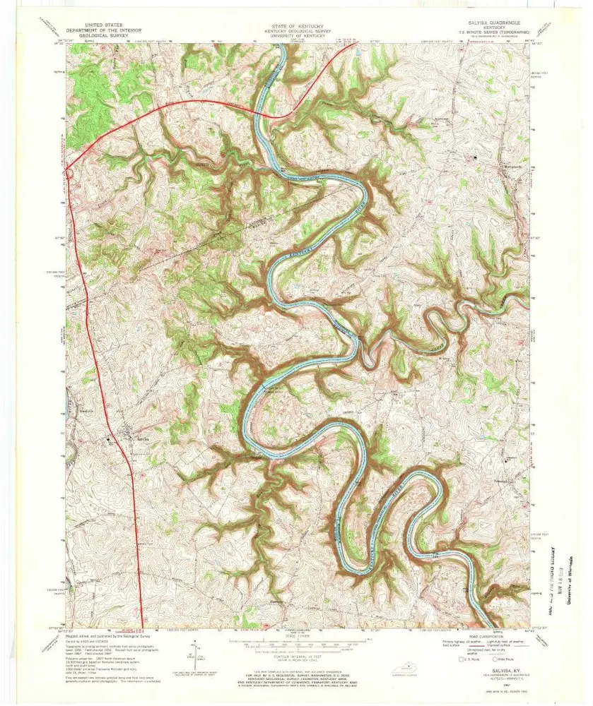
Salvisa
1967
1:24k
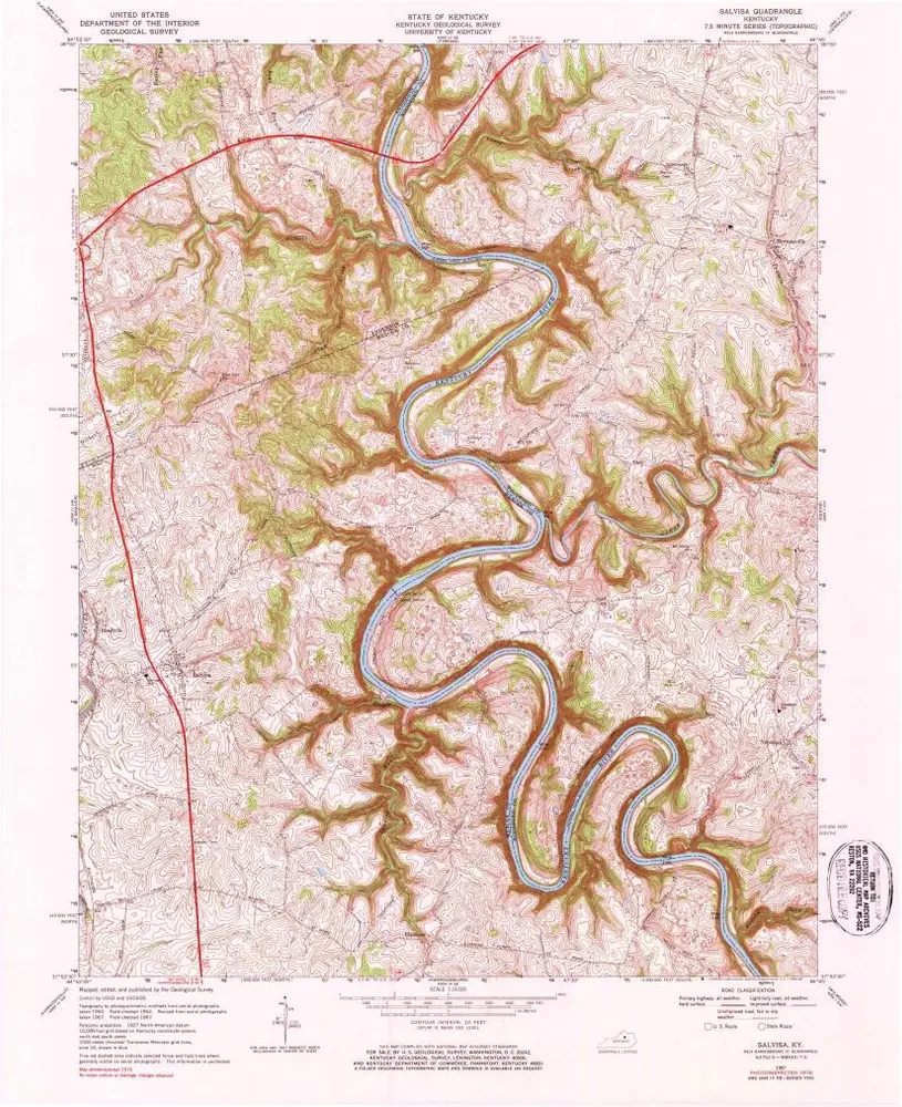
Salvisa
1967
1:24k
Mc Brayer
1952
1:24k
Salvisa
1952
1:24k
Geschichte