Project
Community
News
My App
My maps
Katalogisierte Karte
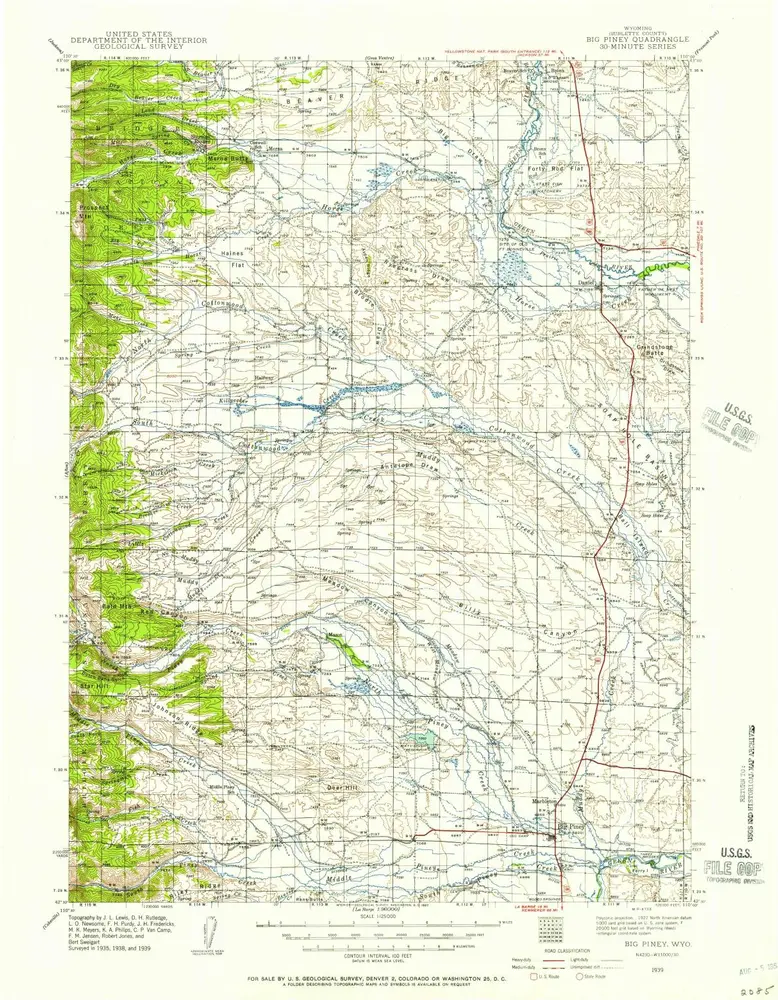
Big Piney
View on external website
View digitized
Einrichtung:
United States Geological Survey
Vollständiger Titel:
Big Piney
Jahr der Abbildung:
1939
Veröffentlichungsdatum:
1957
Maßstab der Karte:
1:125 000
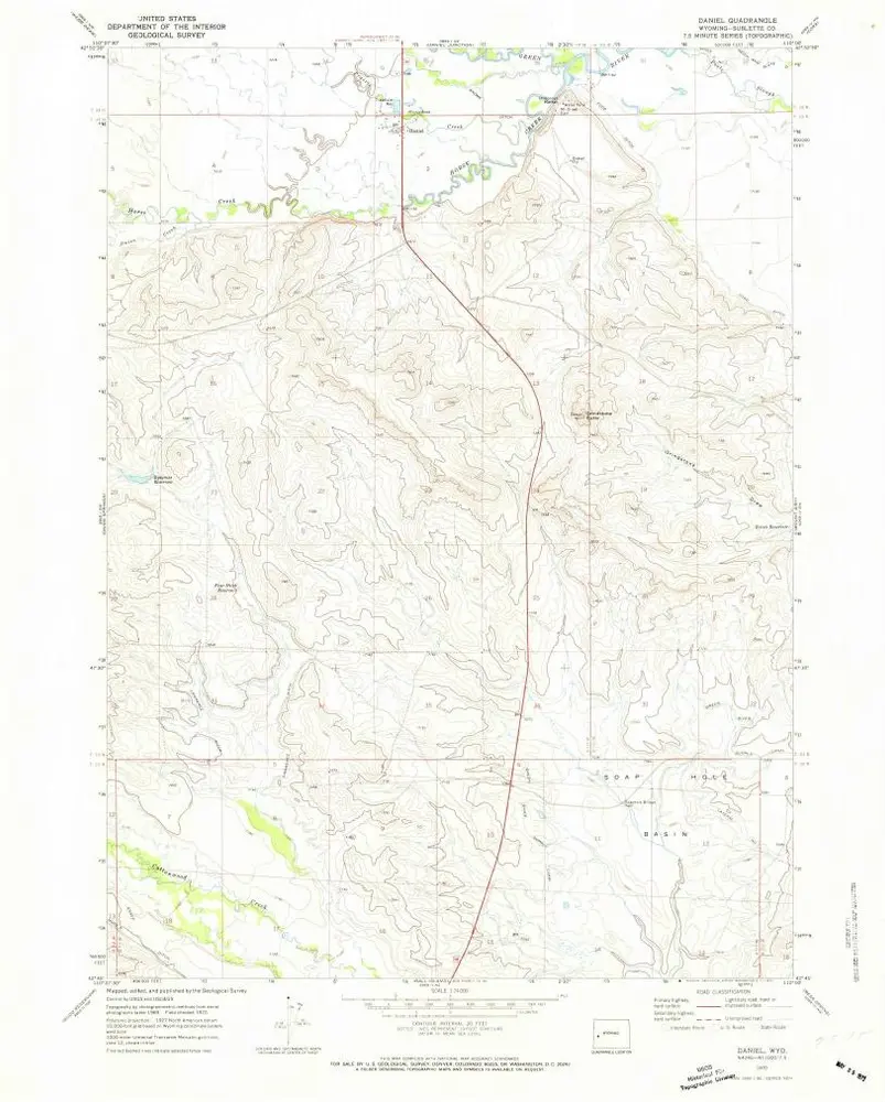
Daniel
1970
1:24k
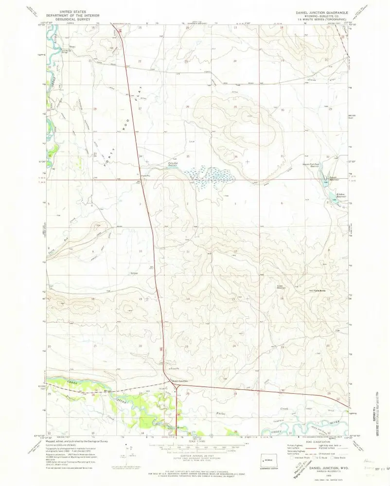
Daniel Junction
1970
1:24k
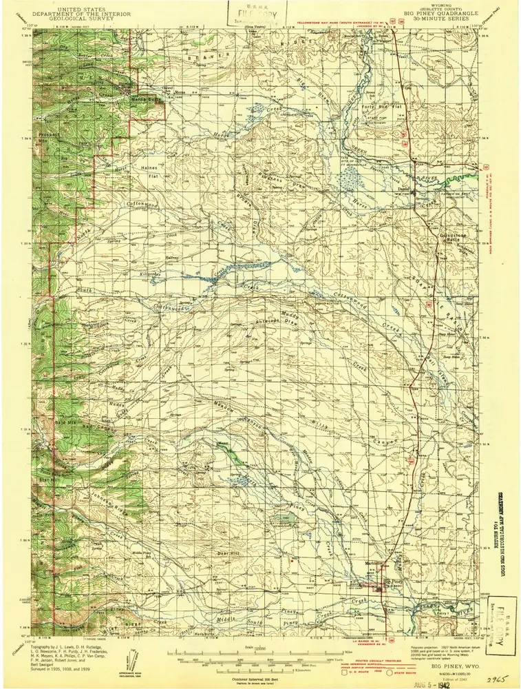
Big Piney
1942
1:125k
Big Piney
1939
1:125k
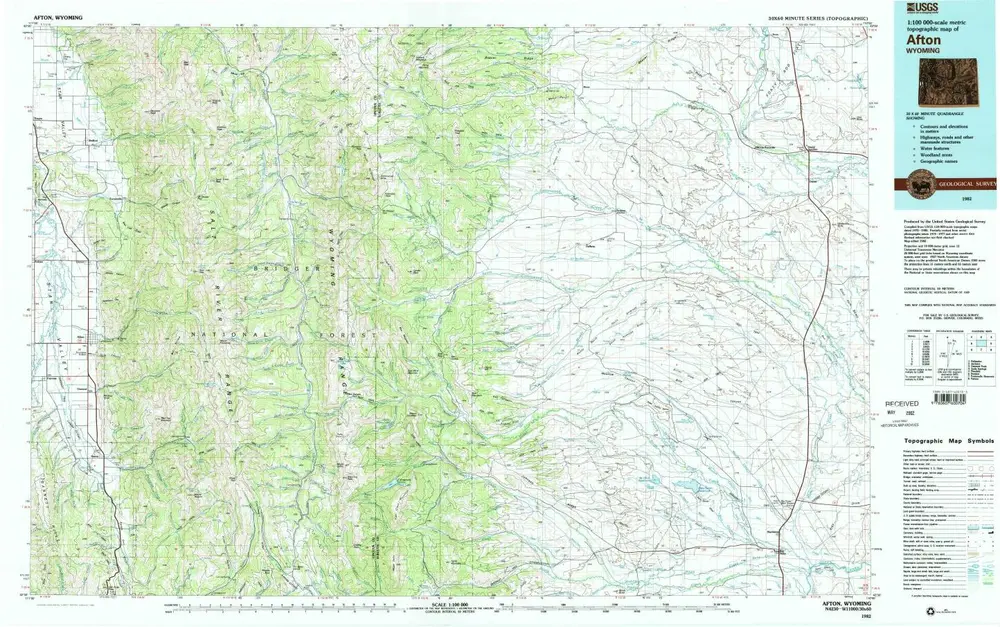
Afton
1982
1:100k
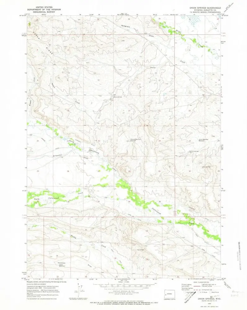
Onion Springs
1970
1:24k
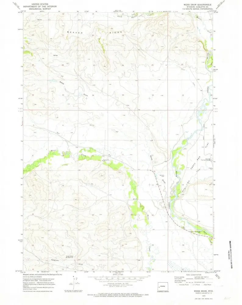
Webb Draw
1970
1:24k
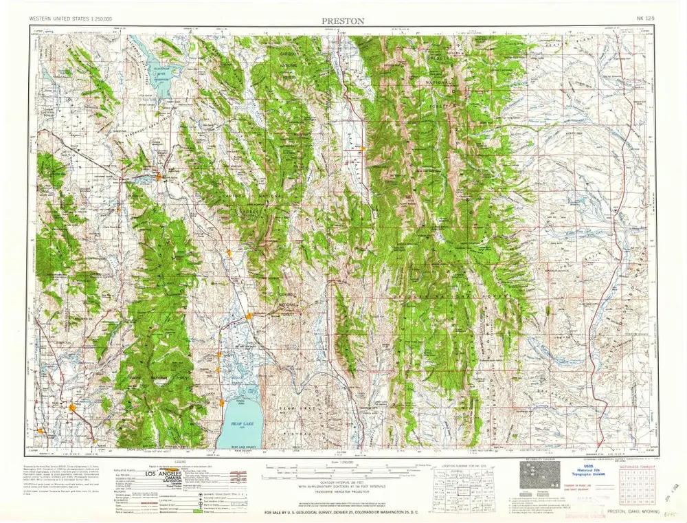
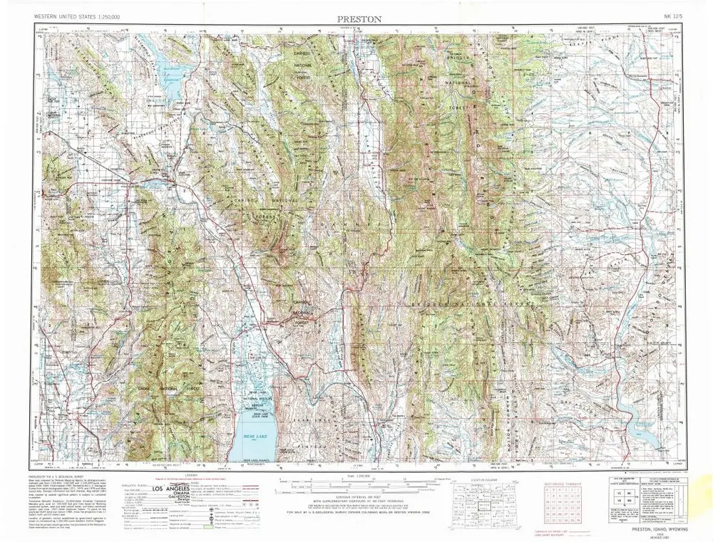
Preston
1962
1:250k
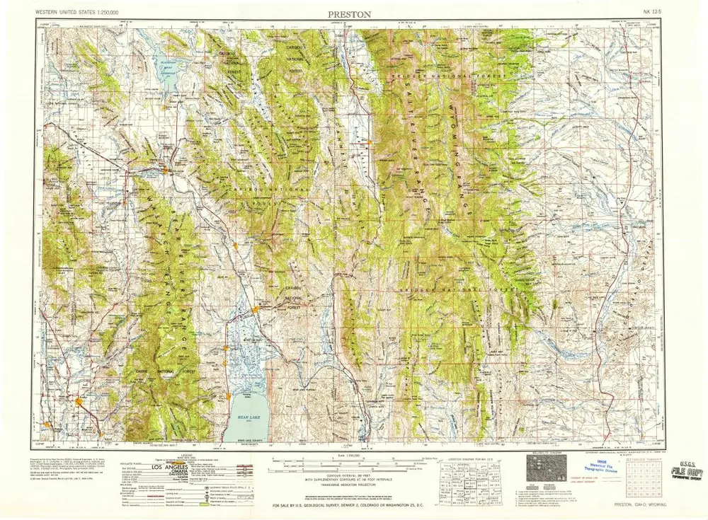
Preston
1958
1:250k
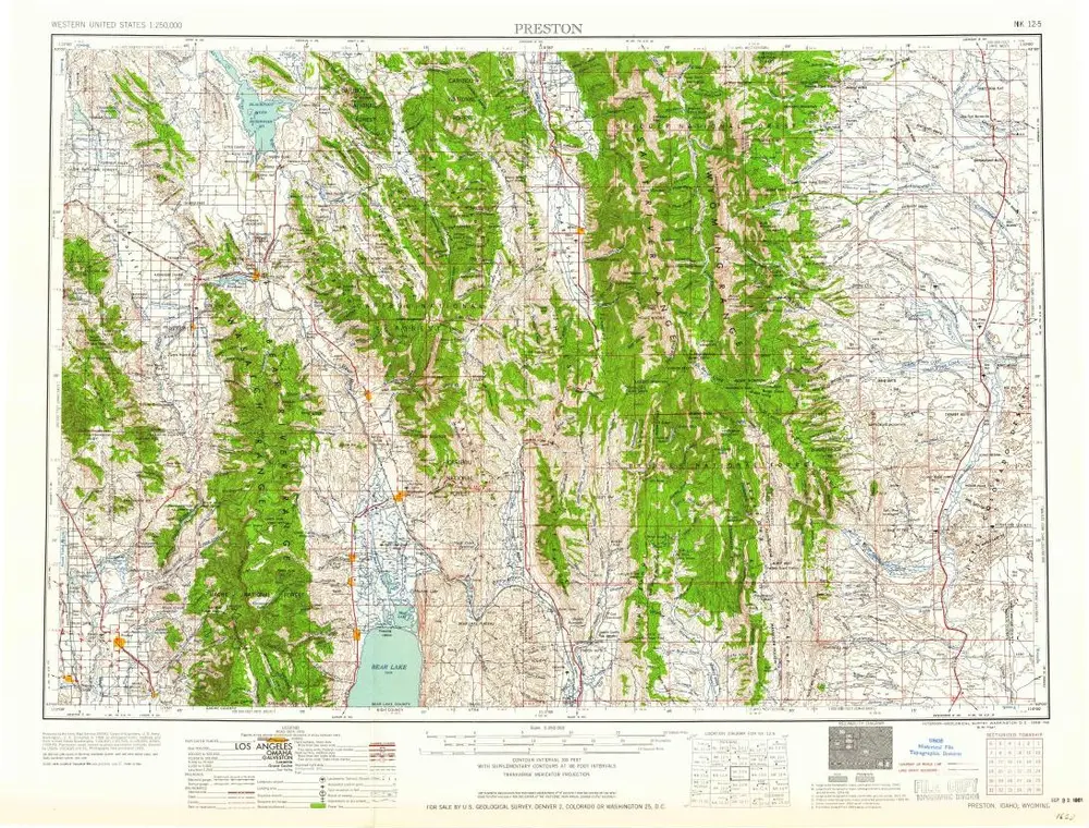
Preston
1958
1:250k
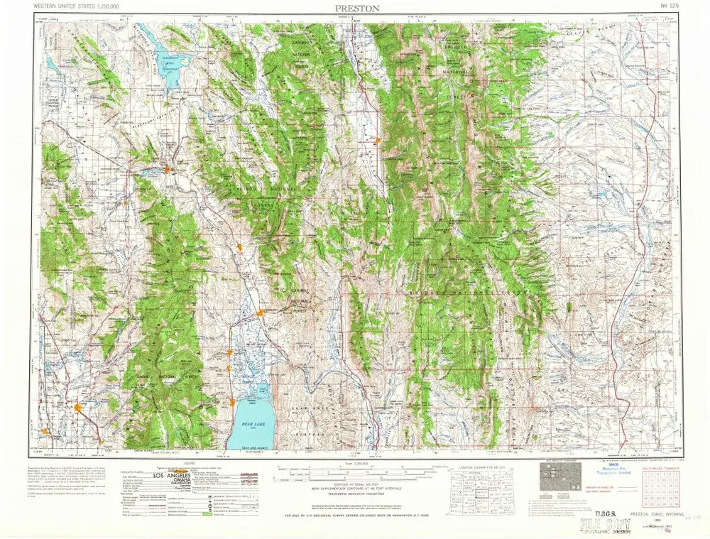
Preston
1955
1:250k
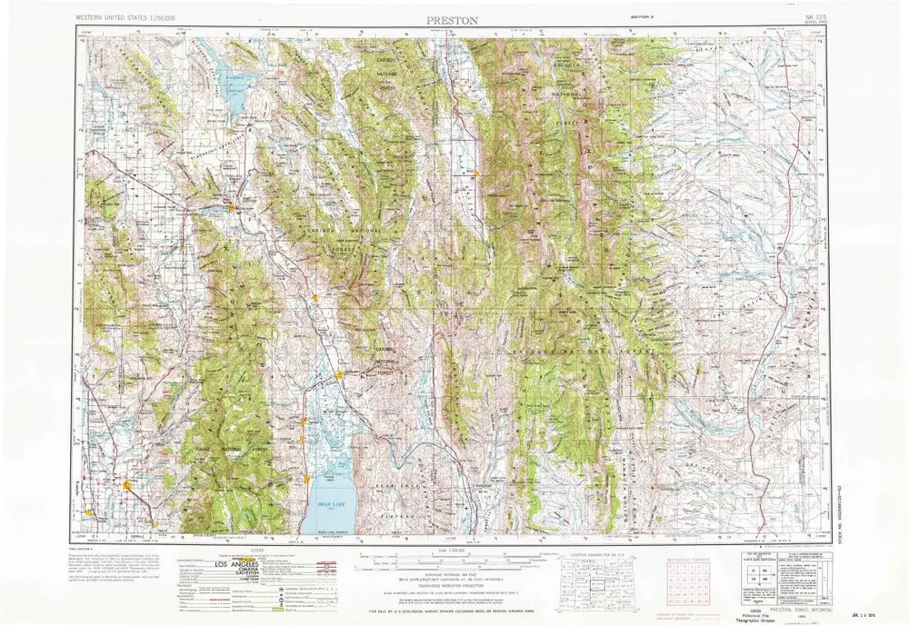
Preston
1955
1:250k
Preston
1955
1:250k
Geschichte