Project
Community
News
My App
My maps
Gecatalogiseerde kaart
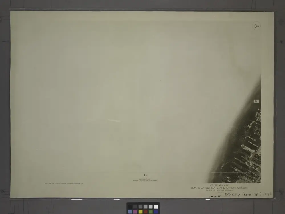
8A - N.Y. City (Aerial Set).
View on external website
Volledige titel:
8A - N.Y. City (Aerial Set).
Jaar illustratie:
1924
Catalog
maps.nypl.org
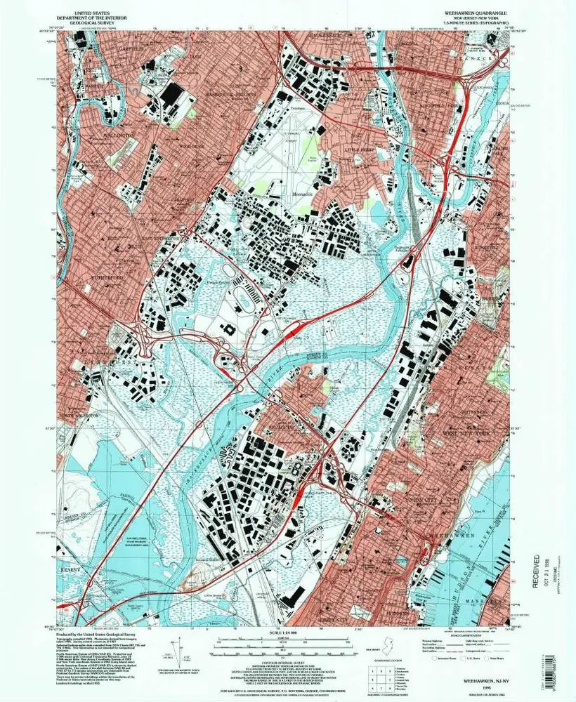
Weehawken
1995
1:24k
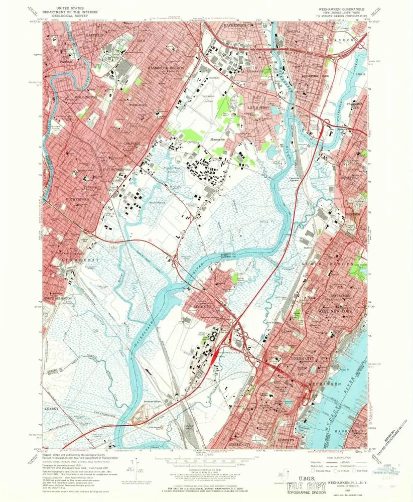
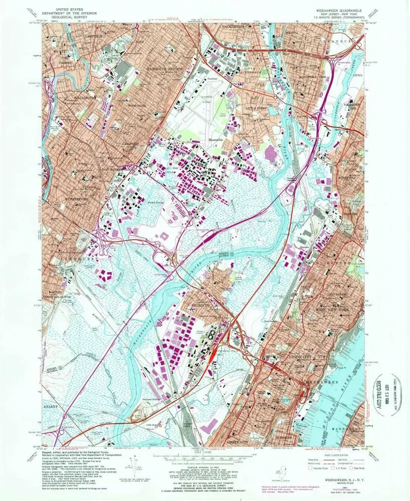
Weehawken
1967
1:24k
Weehawken
1967
1:24k
Weehawken
1967
1:24k
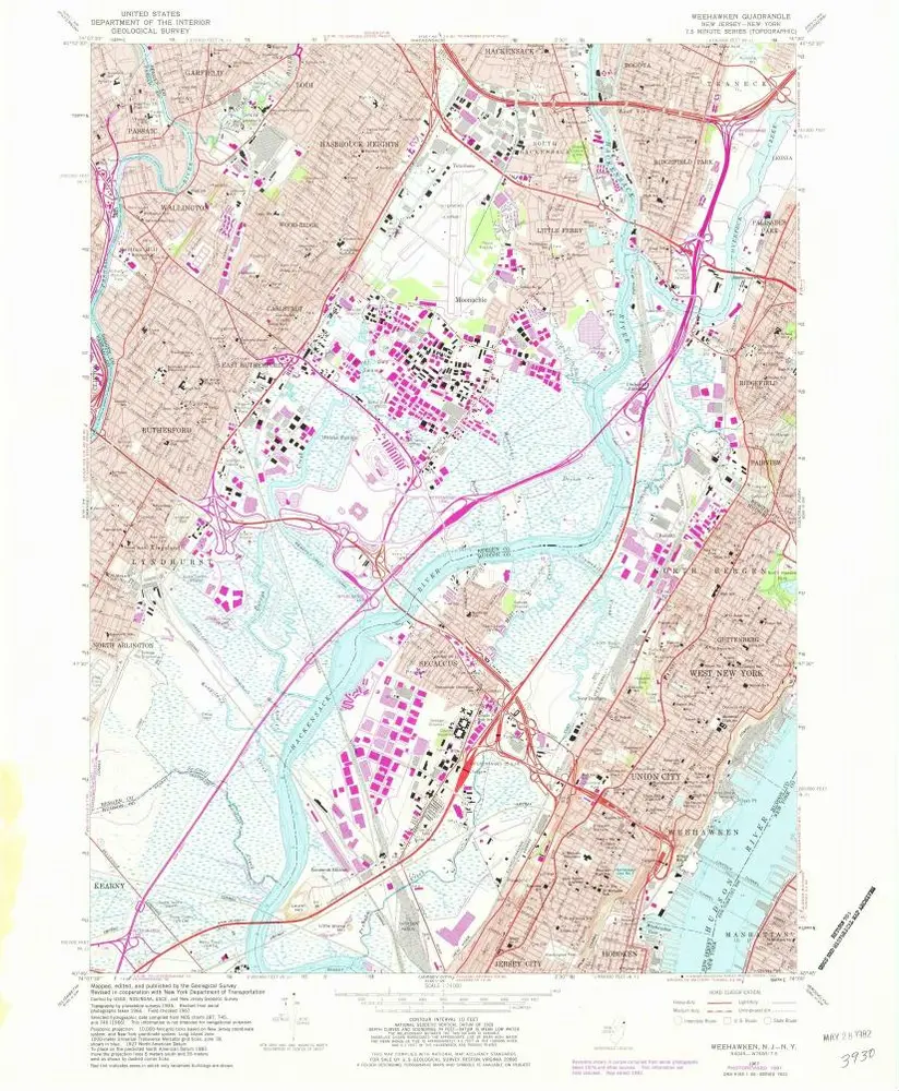
Weehawken
1947
1:25k
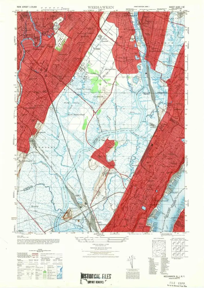
Weehawken
1943
1:25k
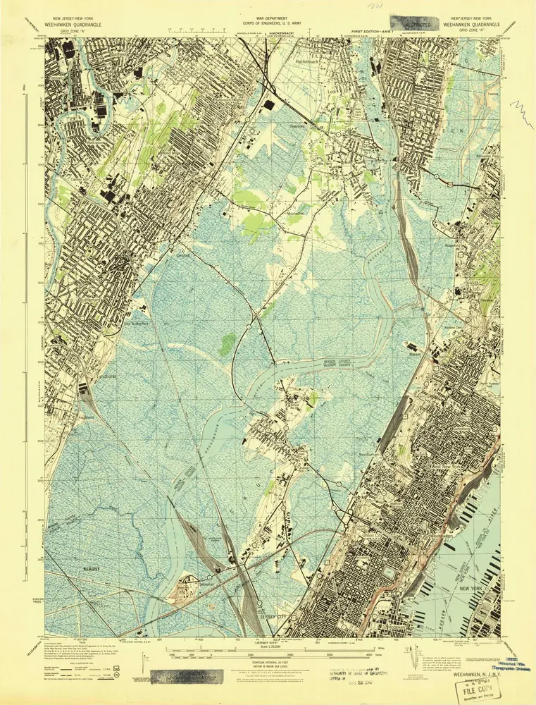
Weehawken
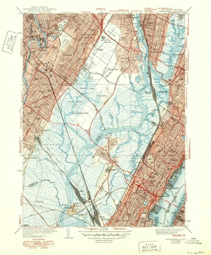
1940
1:32k
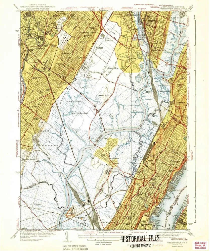
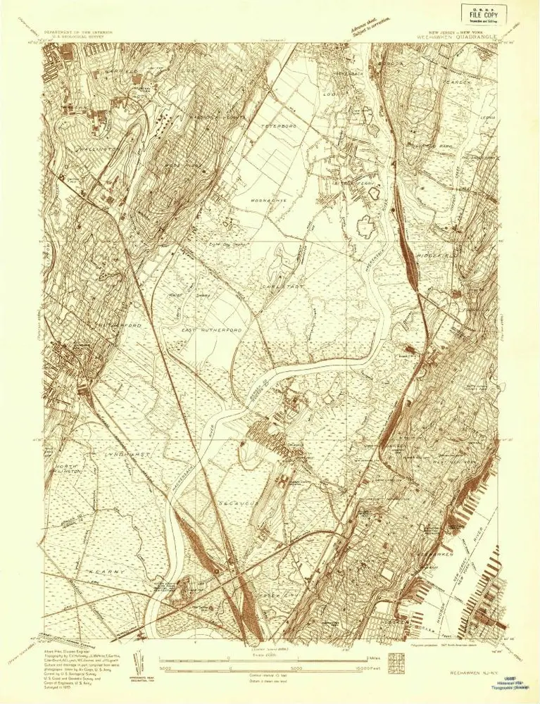
Weehawken
1940
1:32k
Weehawken
1935
1:24k
8A - N.Y. City (Aerial Set).
1924
Geschiedenis