Project
Community
News
My App
My maps
Katalogisierte Karte
South Milwaukee
View on external website
View digitized
Einrichtung:
United States Geological Survey
Vollständiger Titel:
South Milwaukee
Jahr der Abbildung:
1958
Veröffentlichungsdatum:
1960
Maßstab der Karte:
1:62 500
Oak Creek township, Milwaukee County, Wisconsin
1840
1:32k
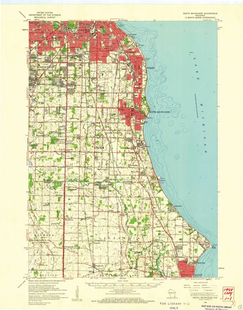
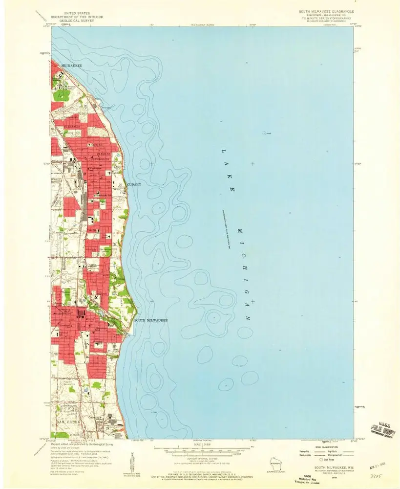
South Milwaukee
1958
1:63k
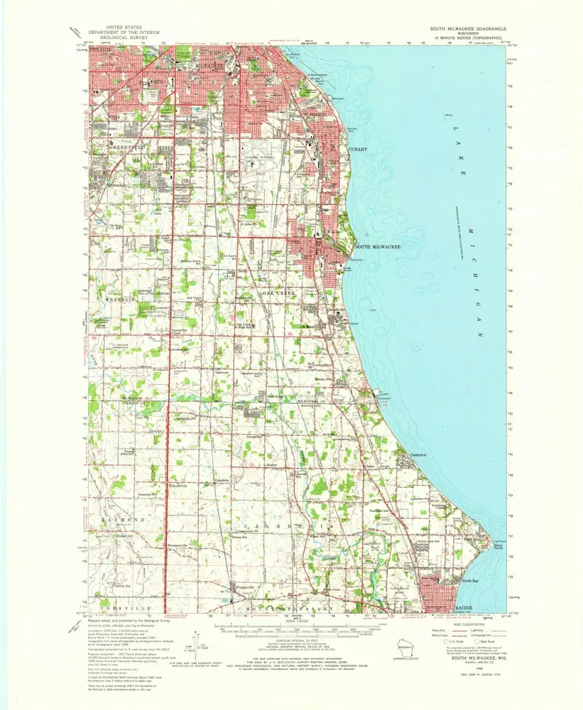
South Milwaukee
1958
1:63k
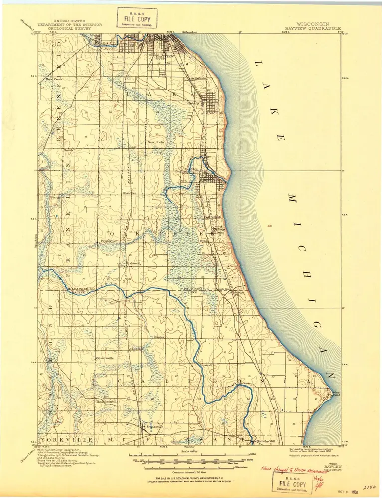
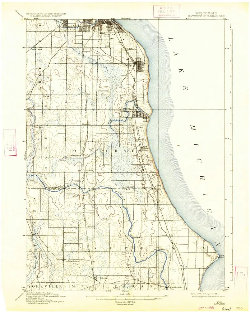
Bayview
1901
1:63k
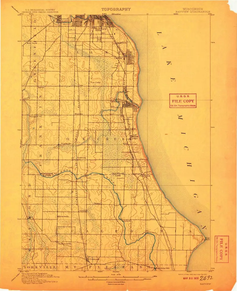
Bayview
1901
1:63k
Bayview
1901
1:63k
Bayview
1901
1:63k
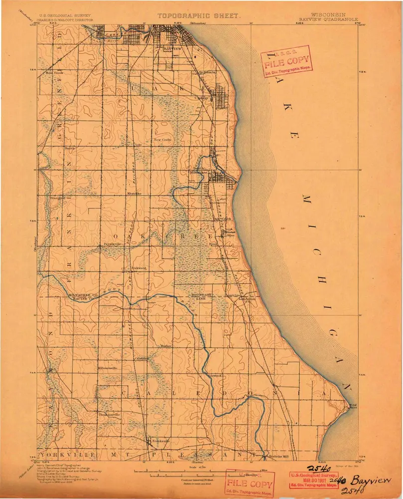
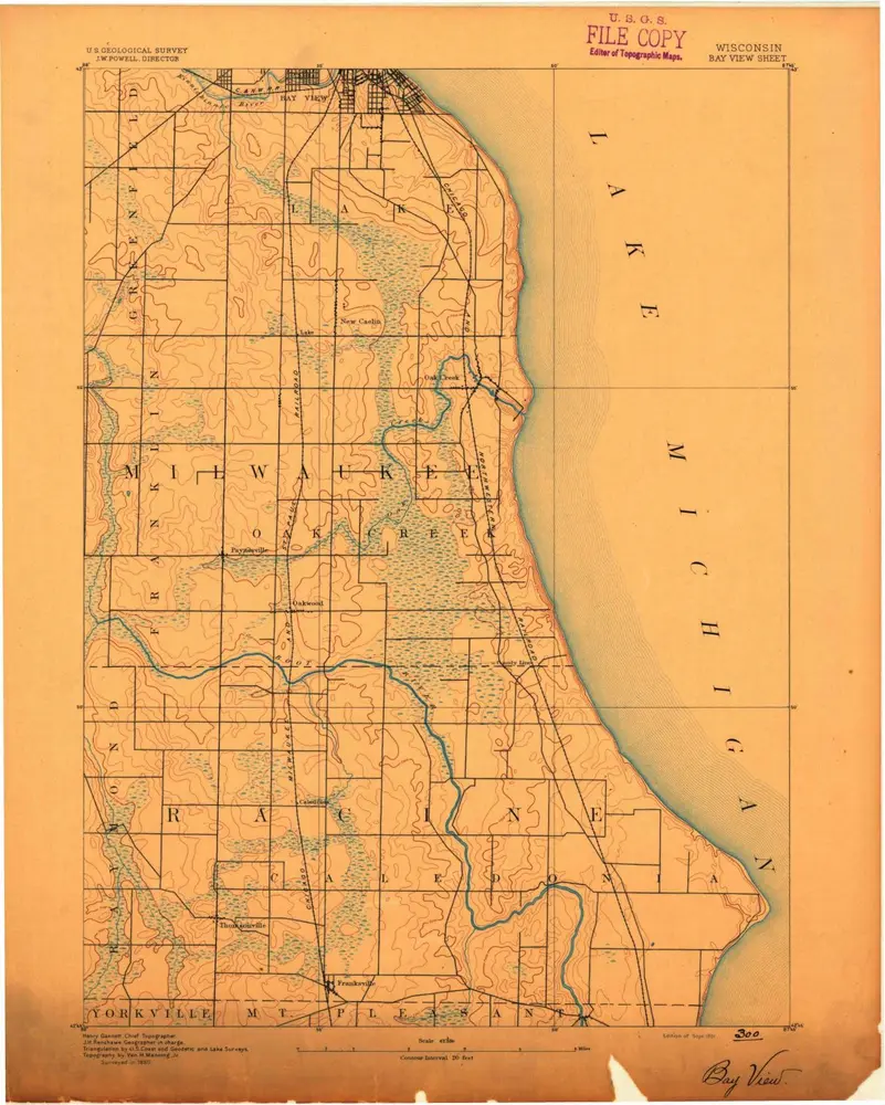
Bayview
1891
1:63k
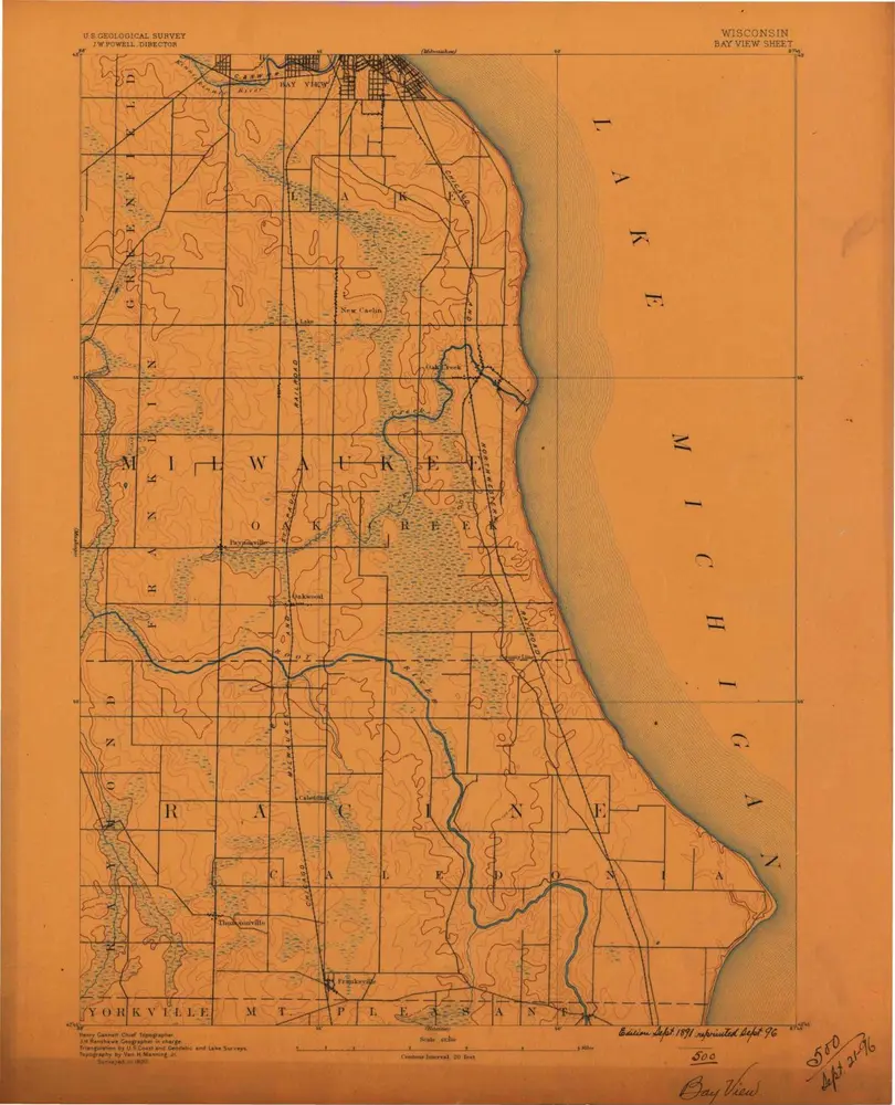
Bayview
1891
1:63k
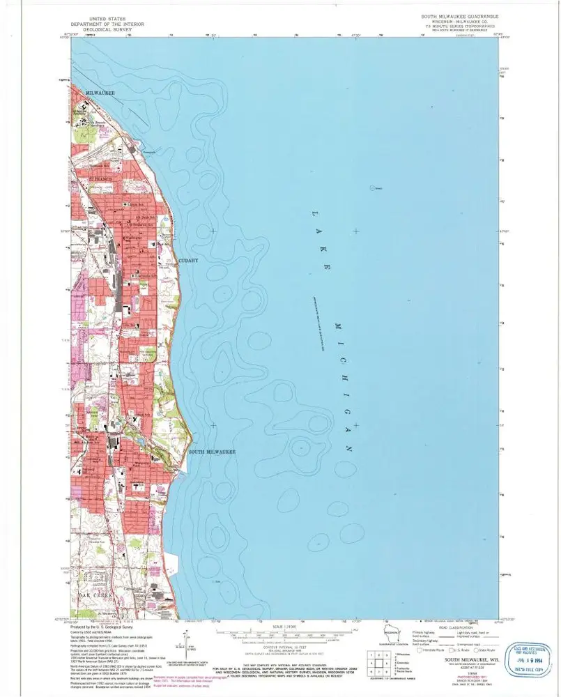
South Milwaukee
1958
1:24k
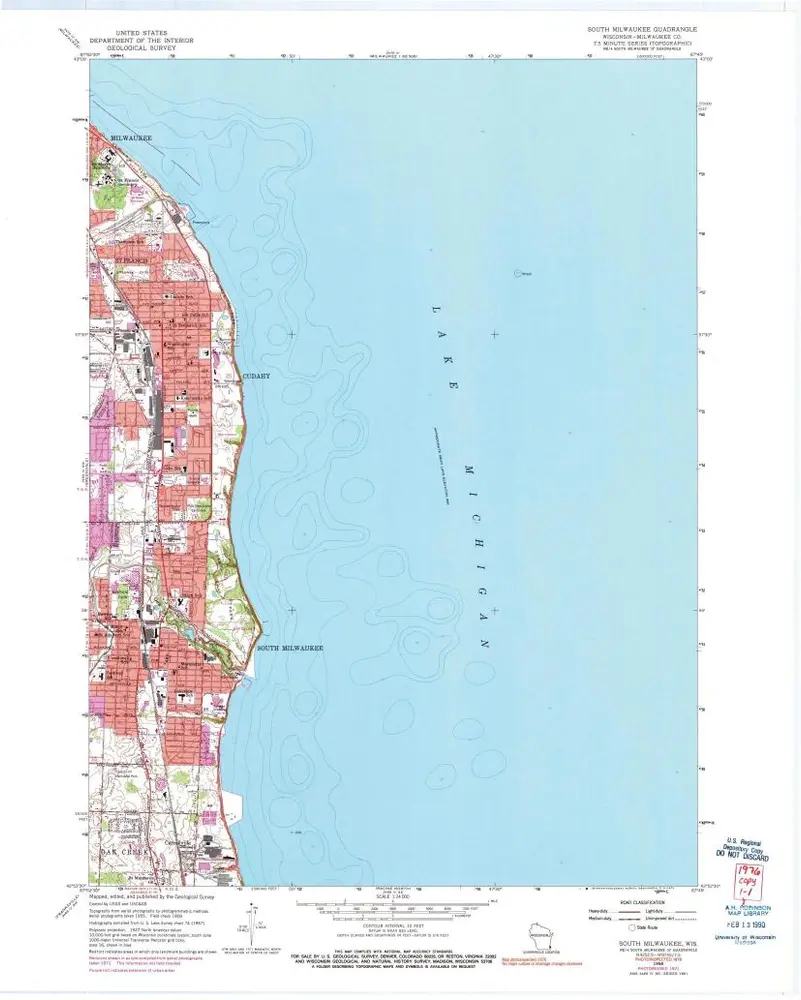
South Milwaukee
1958
1:24k
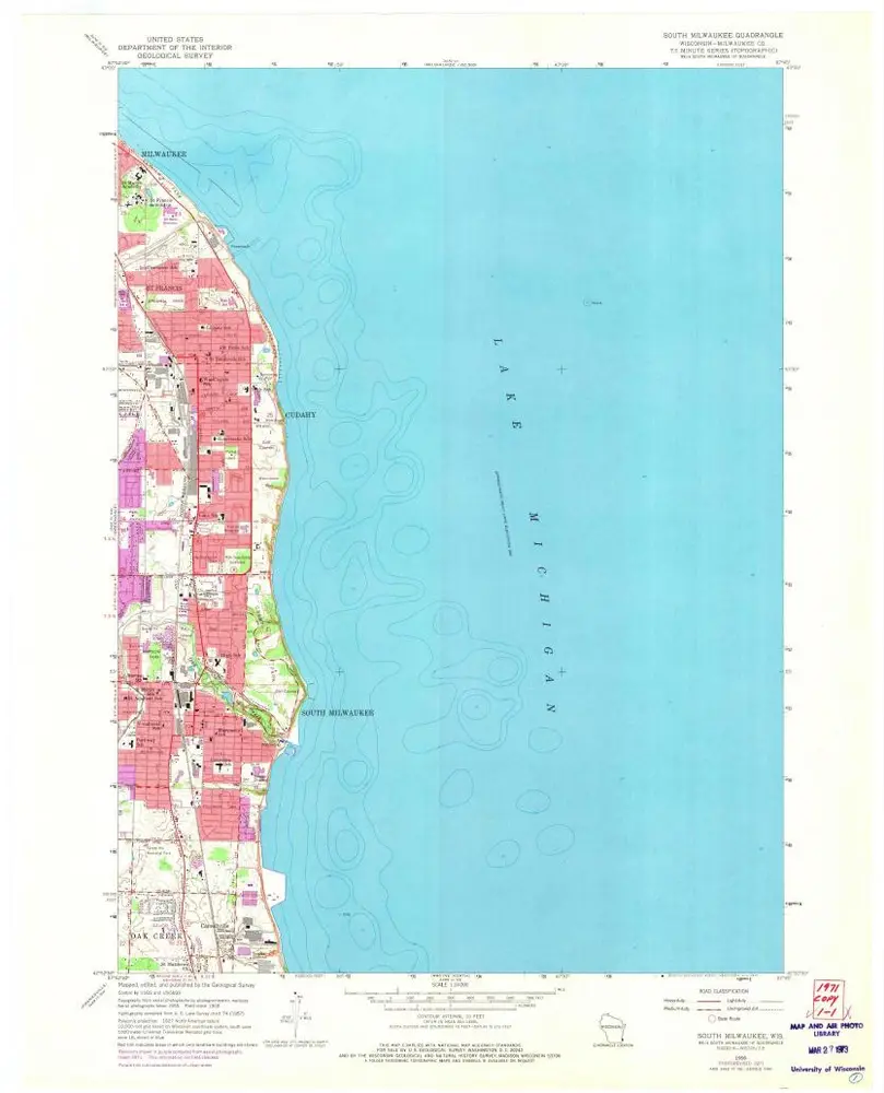
South Milwaukee
1958
1:24k
South Milwaukee
1958
1:24k
Geschichte