Project
Community
News
My App
My maps
Katalogisierte Karte
Nahwatzel Lake
View on external website
View digitized
Einrichtung:
United States Geological Survey
Vollständiger Titel:
Nahwatzel Lake
Jahr der Abbildung:
1943
Maßstab der Karte:
1:62 500
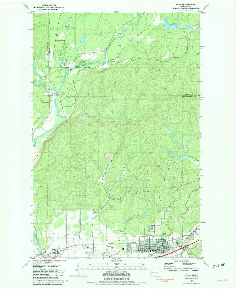
Elma
1981
1:24k
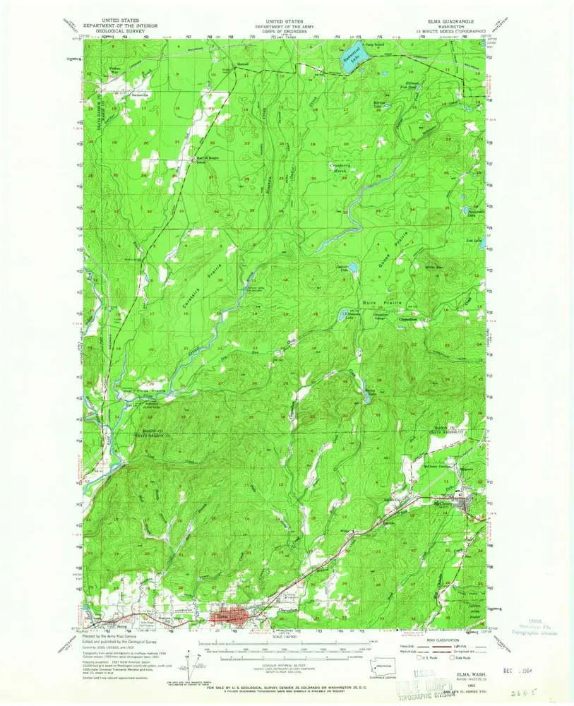
Elma
1953
1:63k
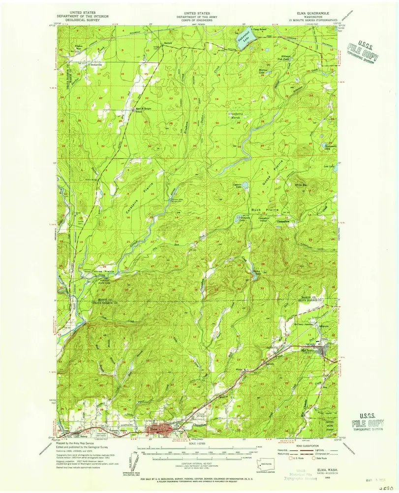
Elma
1953
1:63k
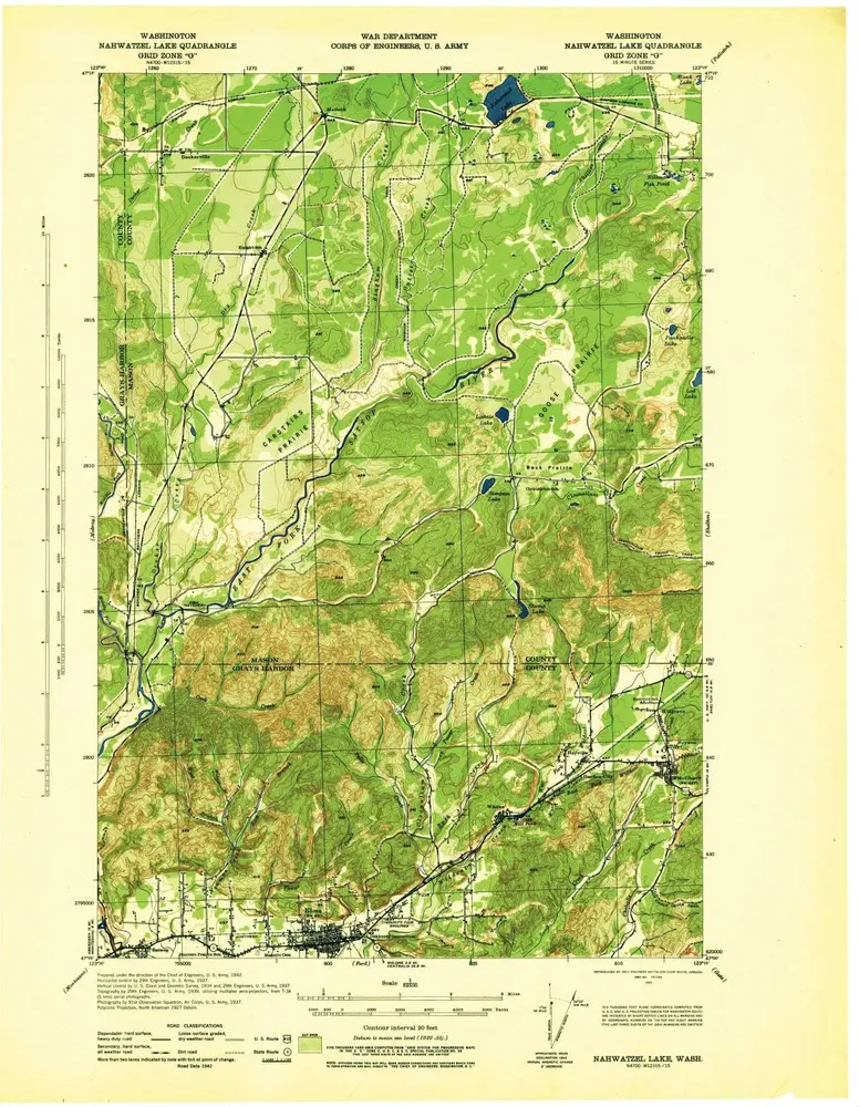
Nahwatzel Lake
1943
1:63k
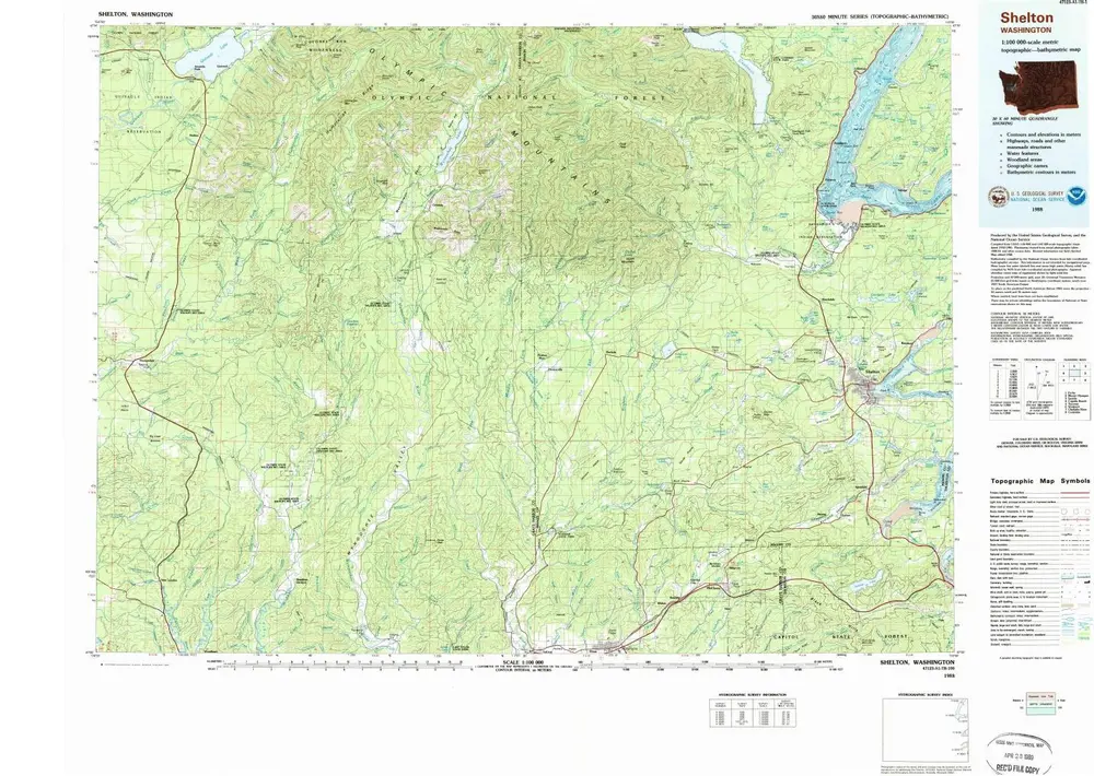
Shelton
1988
1:100k
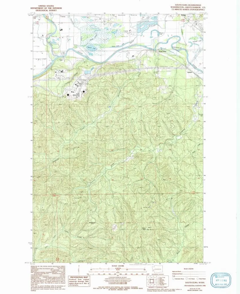
South Elma
1986
1:24k
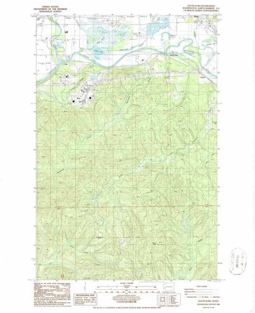
South Elma
1986
1:24k
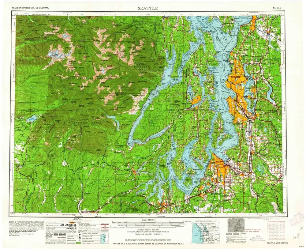
Seattle
1962
1:250k
Seattle
1958
1:250k
Seattle
1958
1:250k
Seattle
1958
1:250k
Geschichte