Project
Community
News
My App
My maps
Katalogisierte Karte
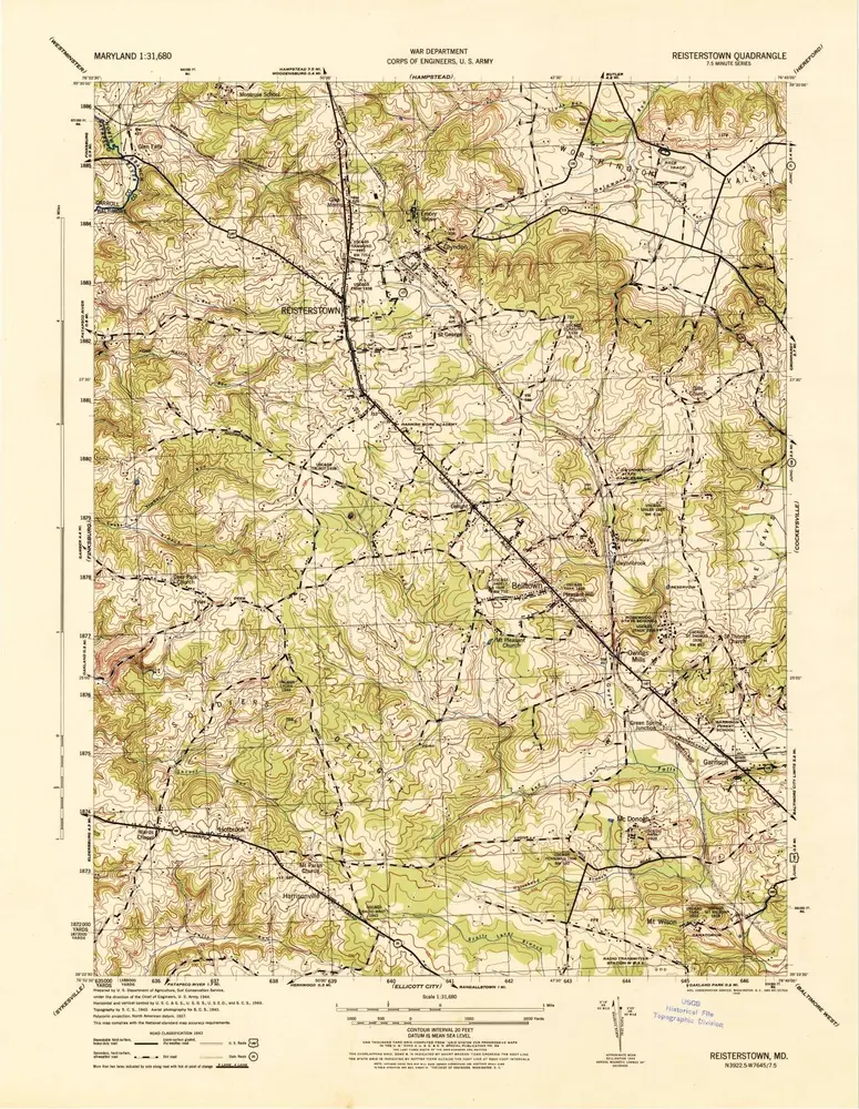
Reisterstown
View on external website
View digitized
Einrichtung:
United States Geological Survey
Vollständiger Titel:
Reisterstown
Jahr der Abbildung:
1944
Maßstab der Karte:
1:31 680
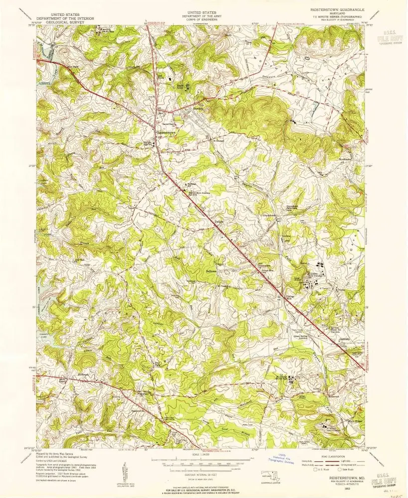
Reisterstown
1953
1:24k
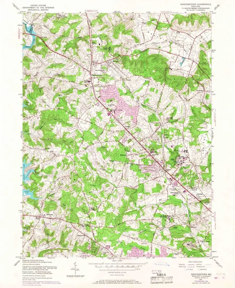
Reisterstown
1953
1:24k
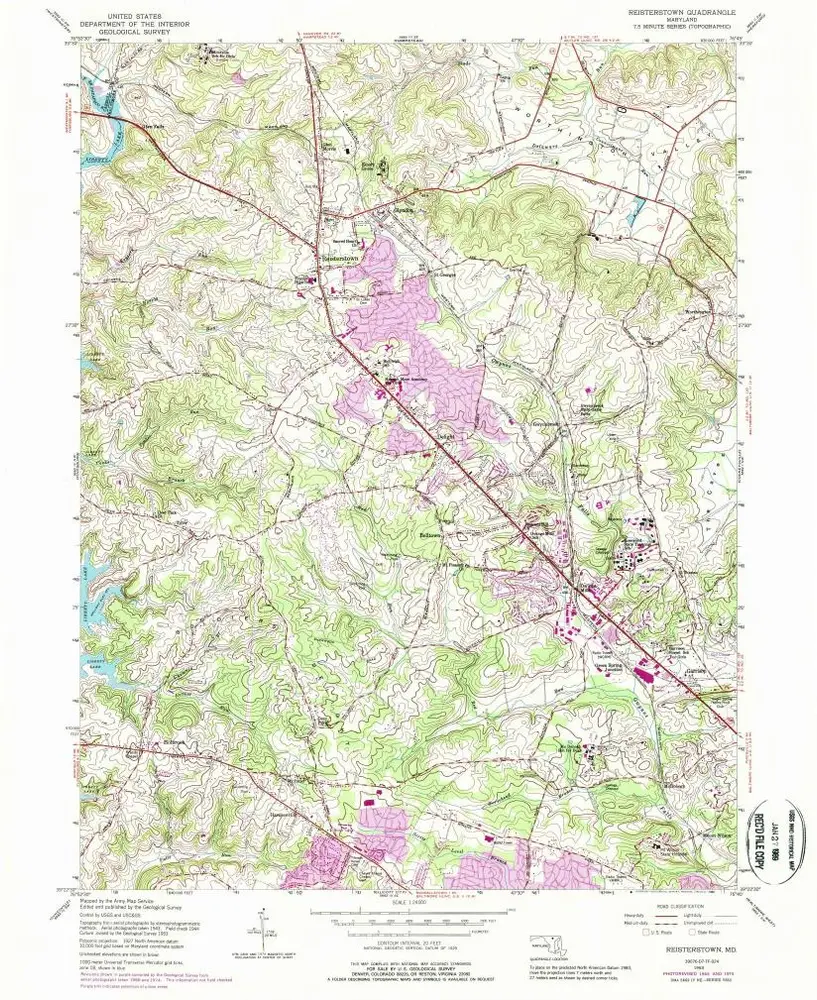
Reisterstown
1953
1:24k
Reisterstown
1944
1:32k
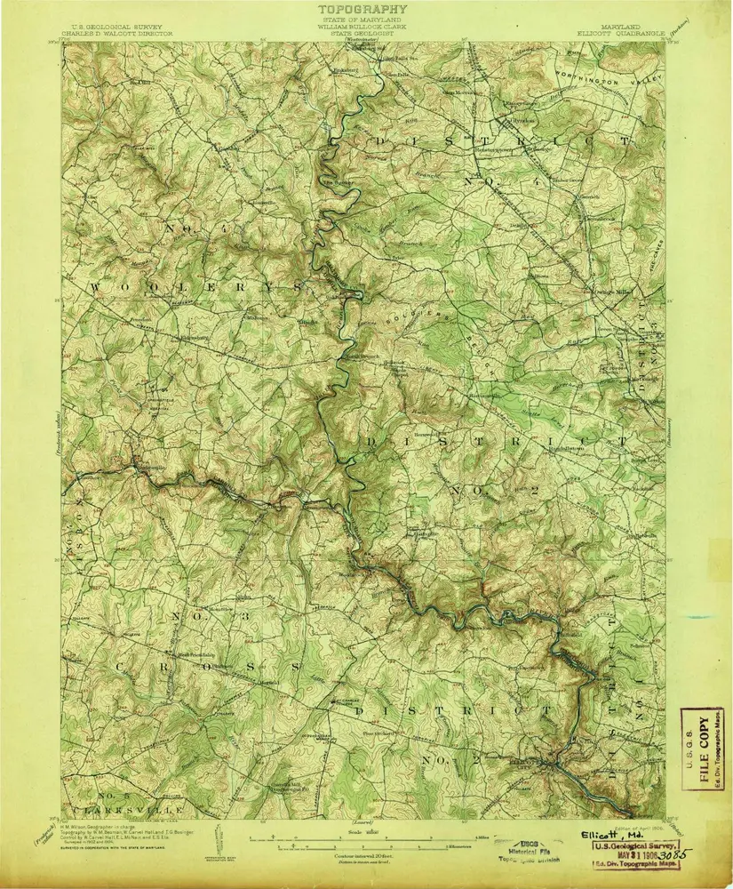
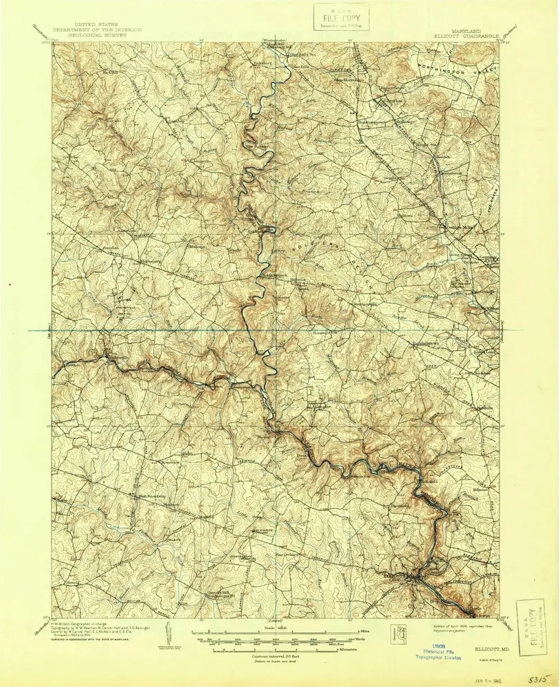
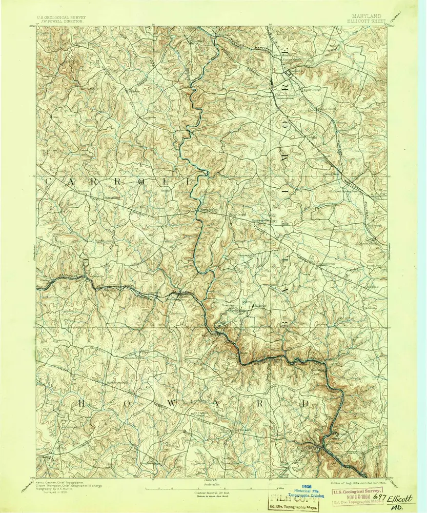
Ellicott
1906
1:63k
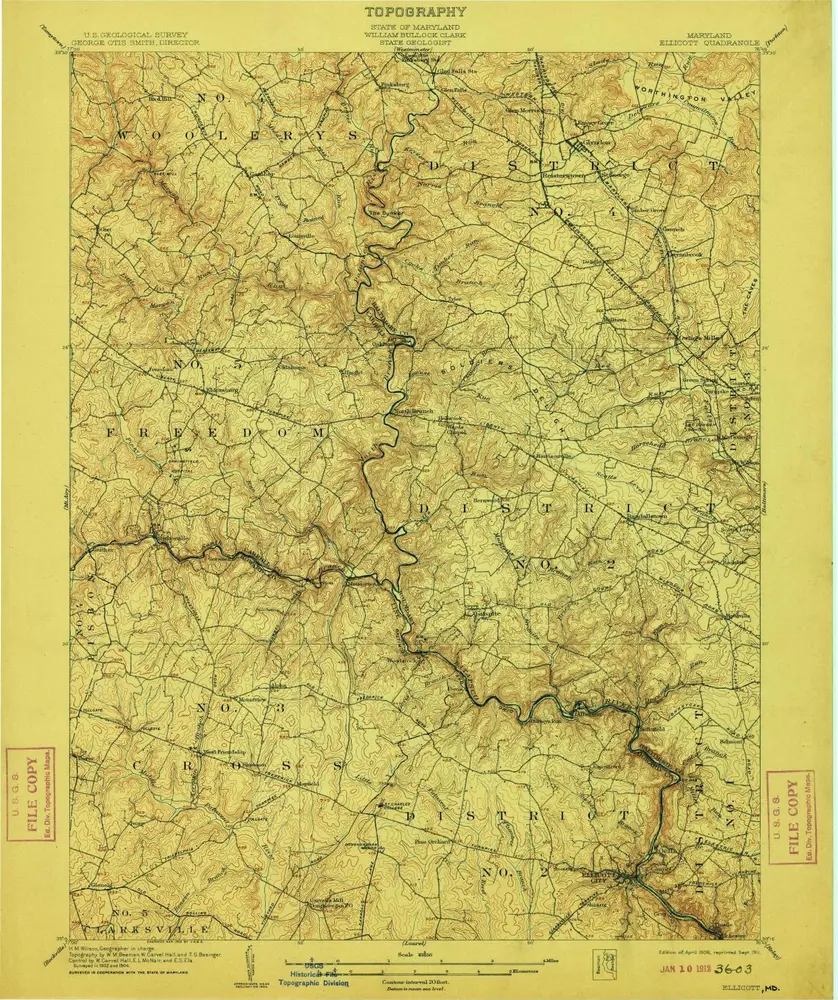
Ellicott
1906
1:63k
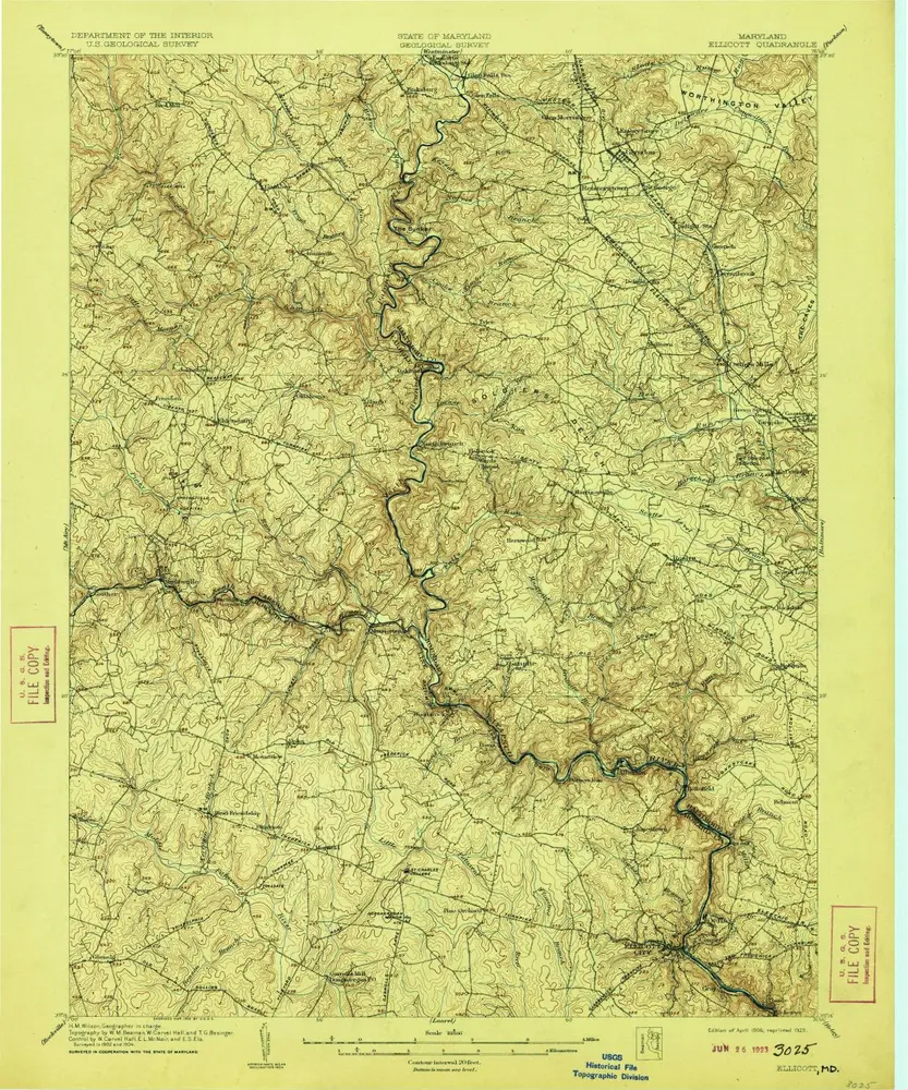
Ellicott
1906
1:63k
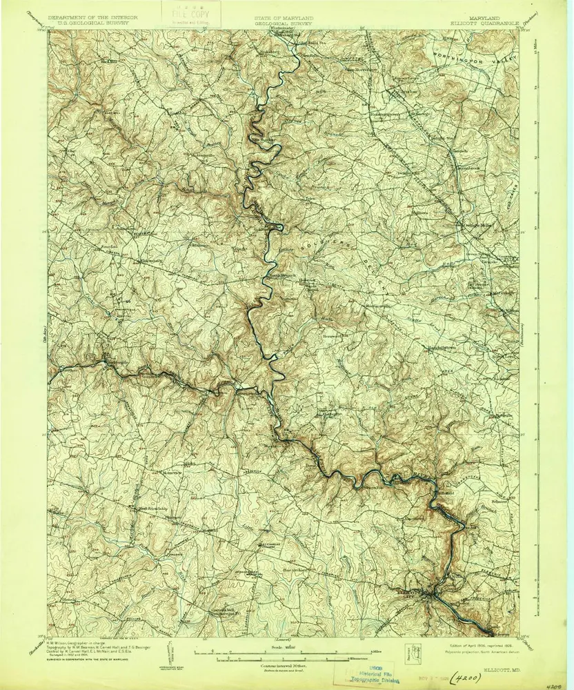
Ellicott
1906
1:63k
Ellicott
1906
1:63k
Ellicott
1906
1:63k
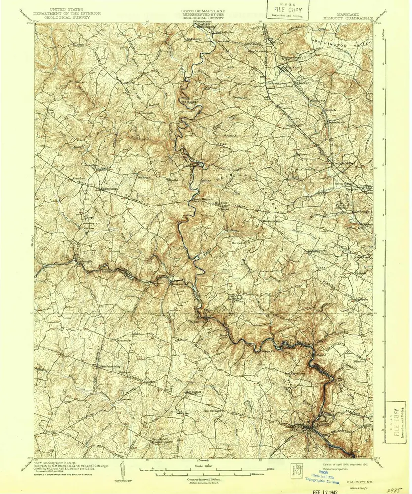
Ellicott
1894
1:63k
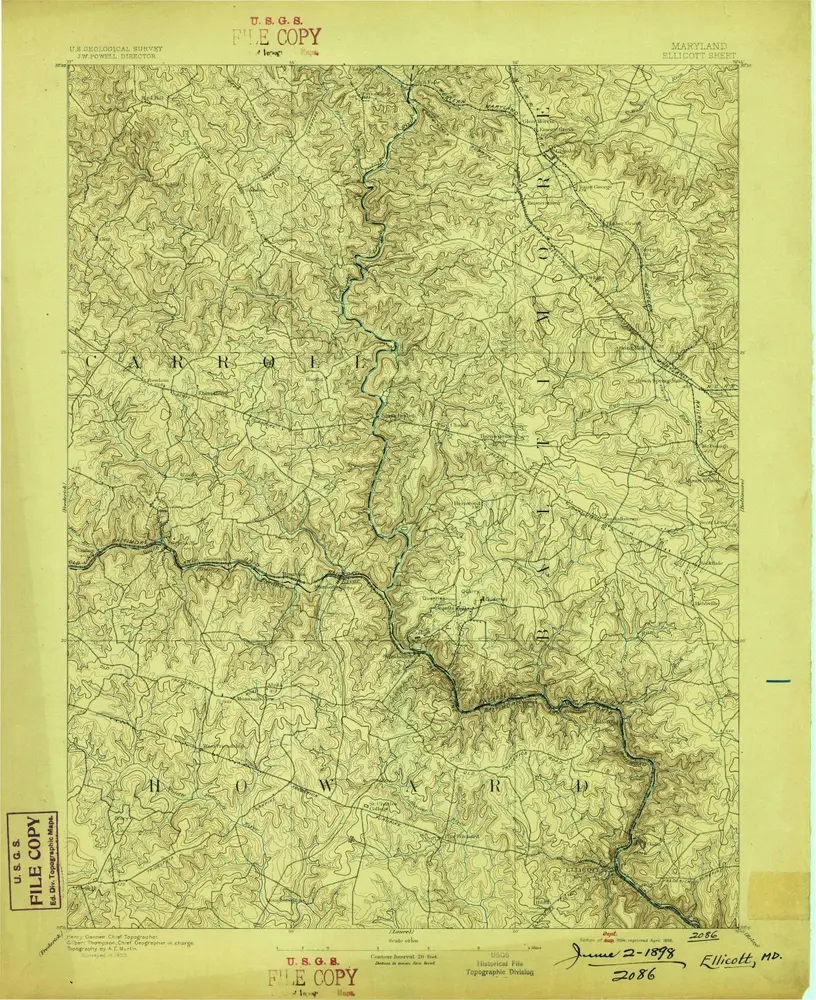
Ellicott
1894
1:63k
Ellicott
1894
1:63k
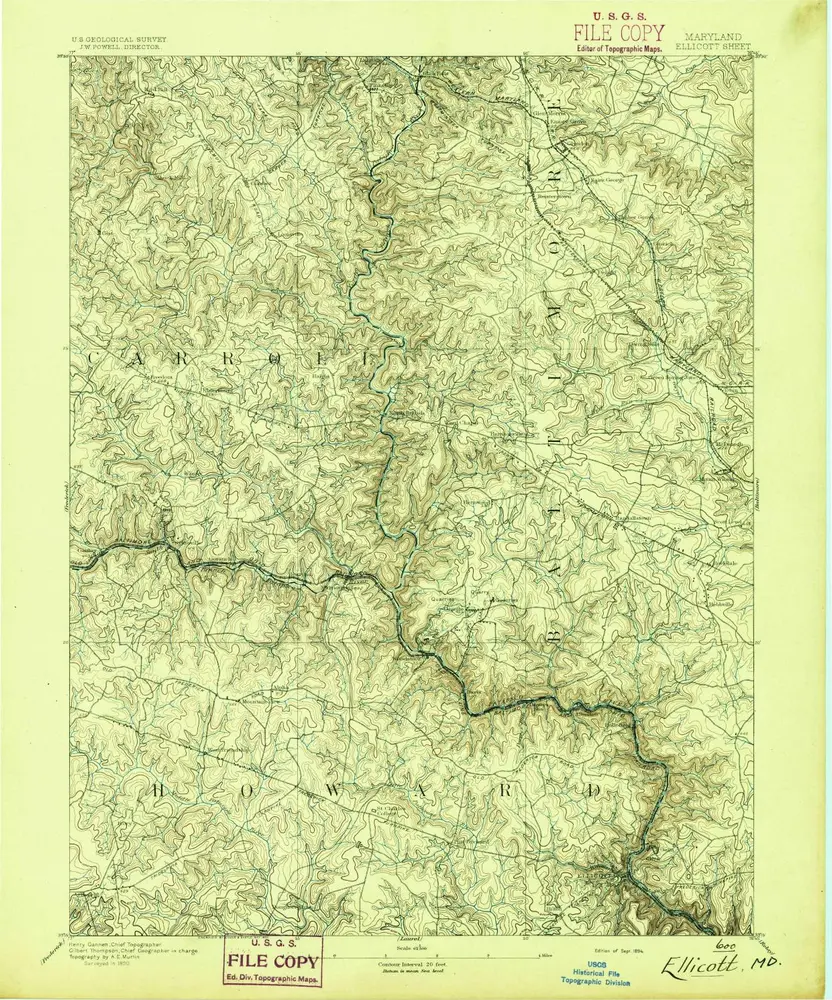
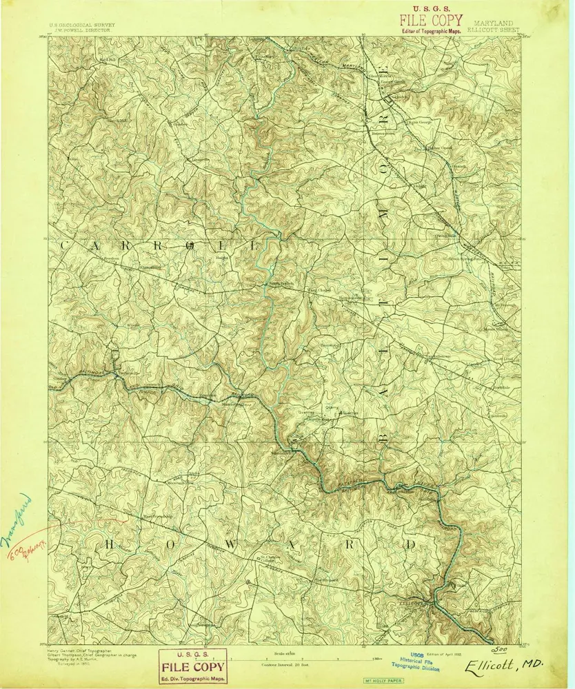
Ellicott
1892
1:63k
Geschichte