编目地图

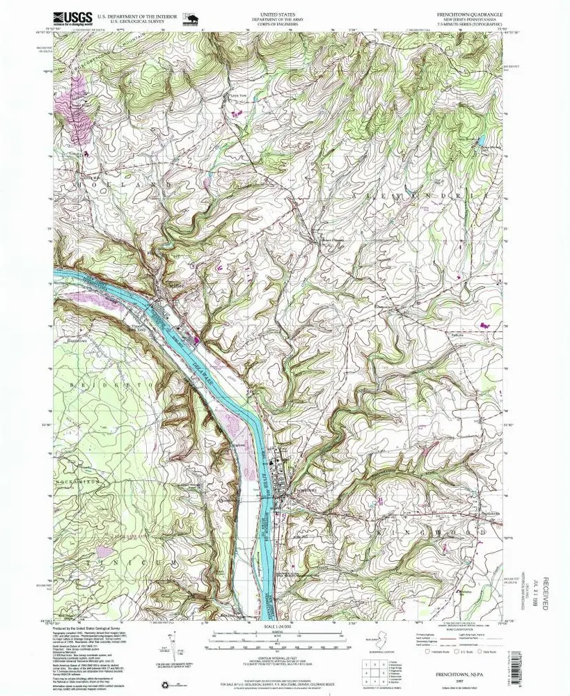
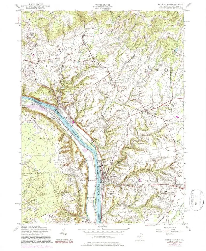
Frenchtown
1997
1:24k
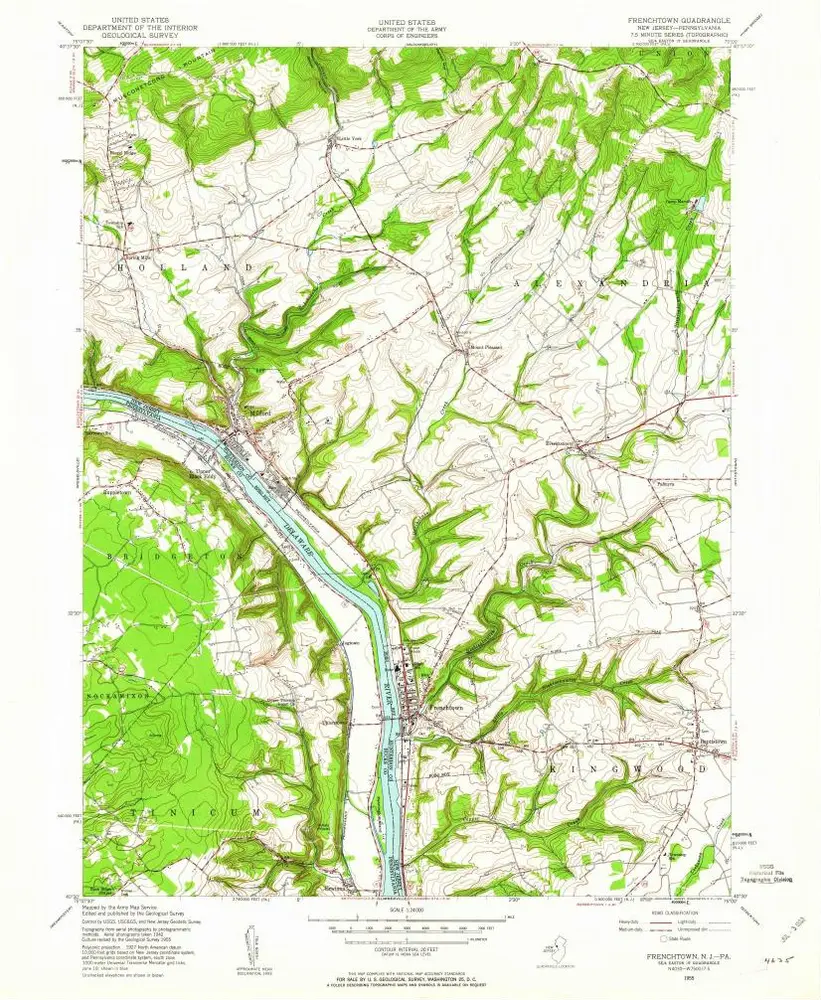
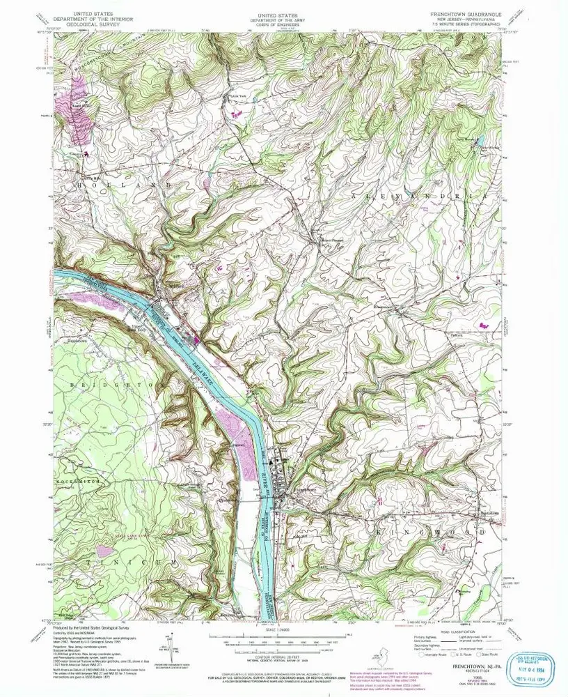
Frenchtown
1955
1:24k
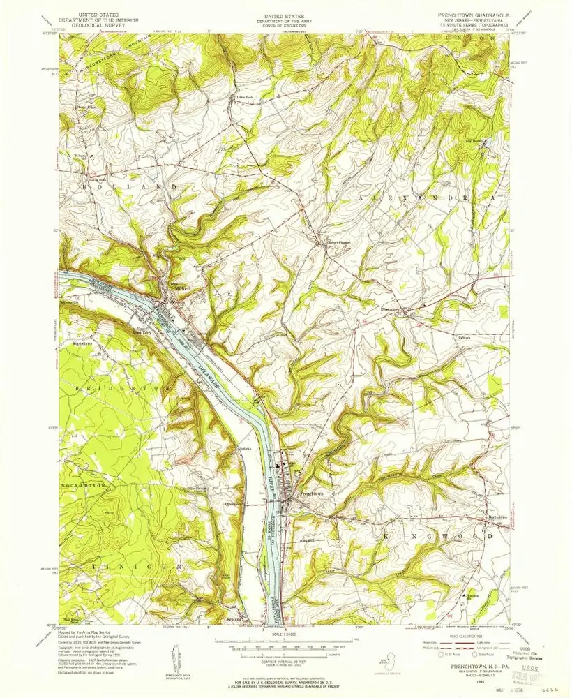
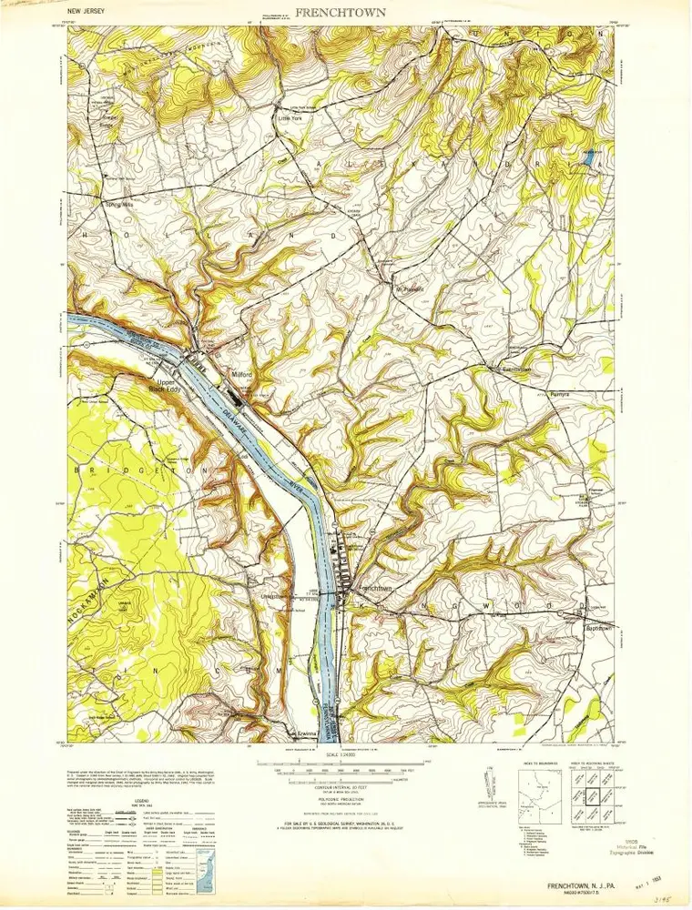
Frenchtown
1955
1:24k
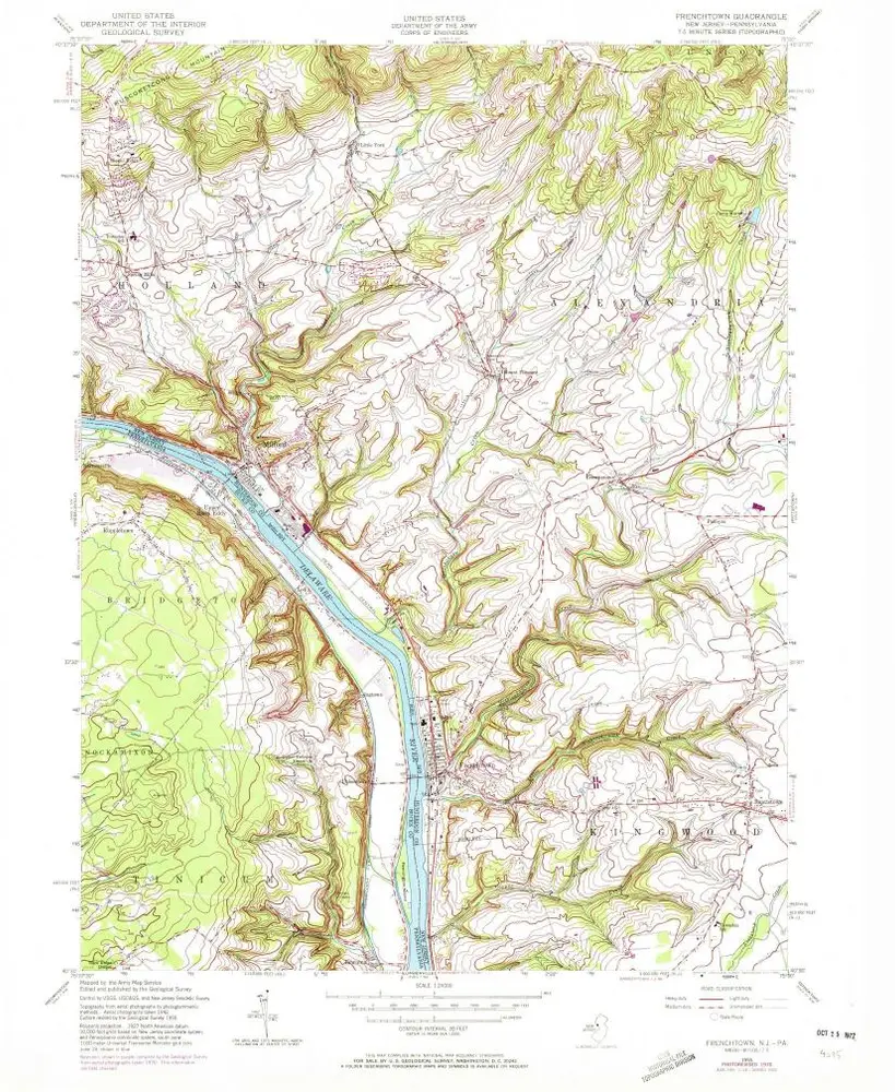
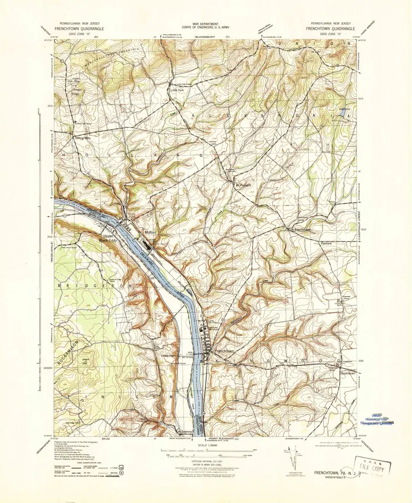
Frenchtown
1955
1:24k
Frenchtown
1955
1:24k
Frenchtown
1955
1:24k
Frenchtown
1953
1:24k
Frenchtown
1943
1:32k
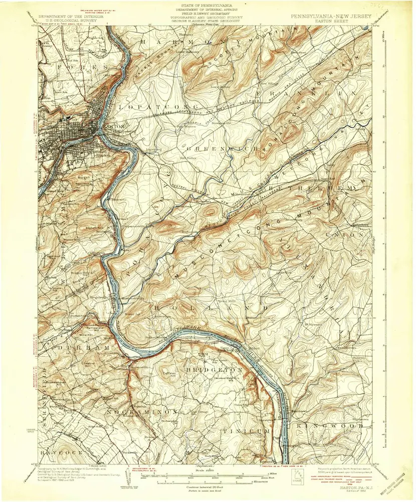
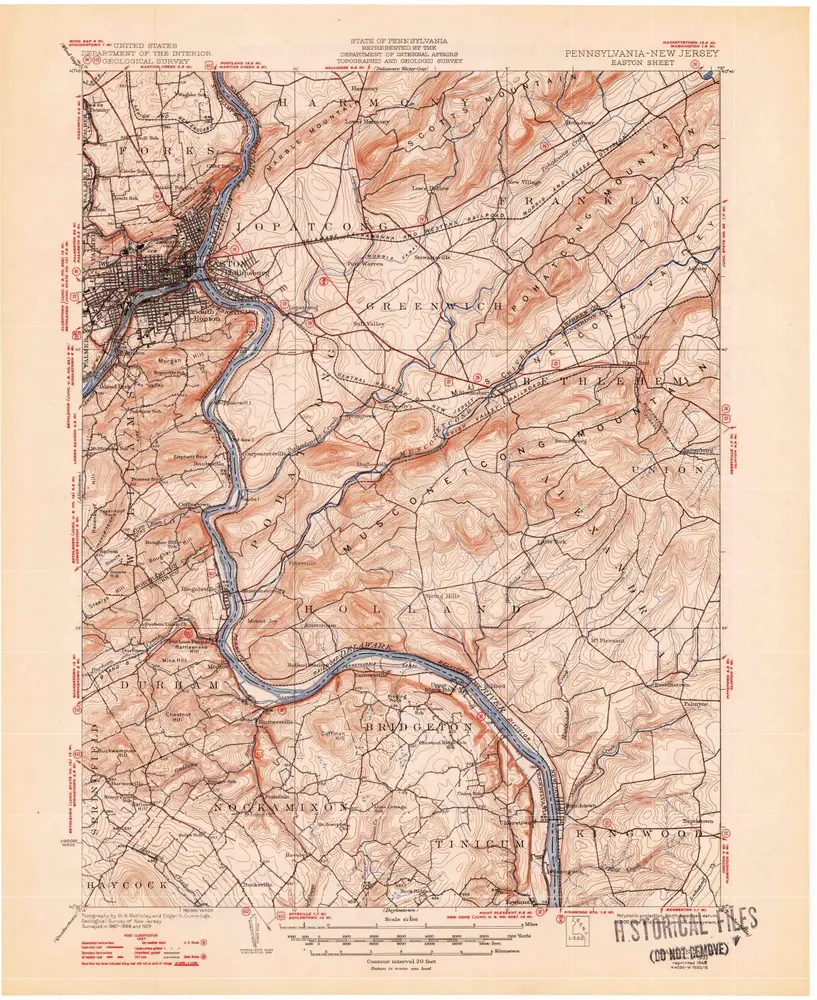
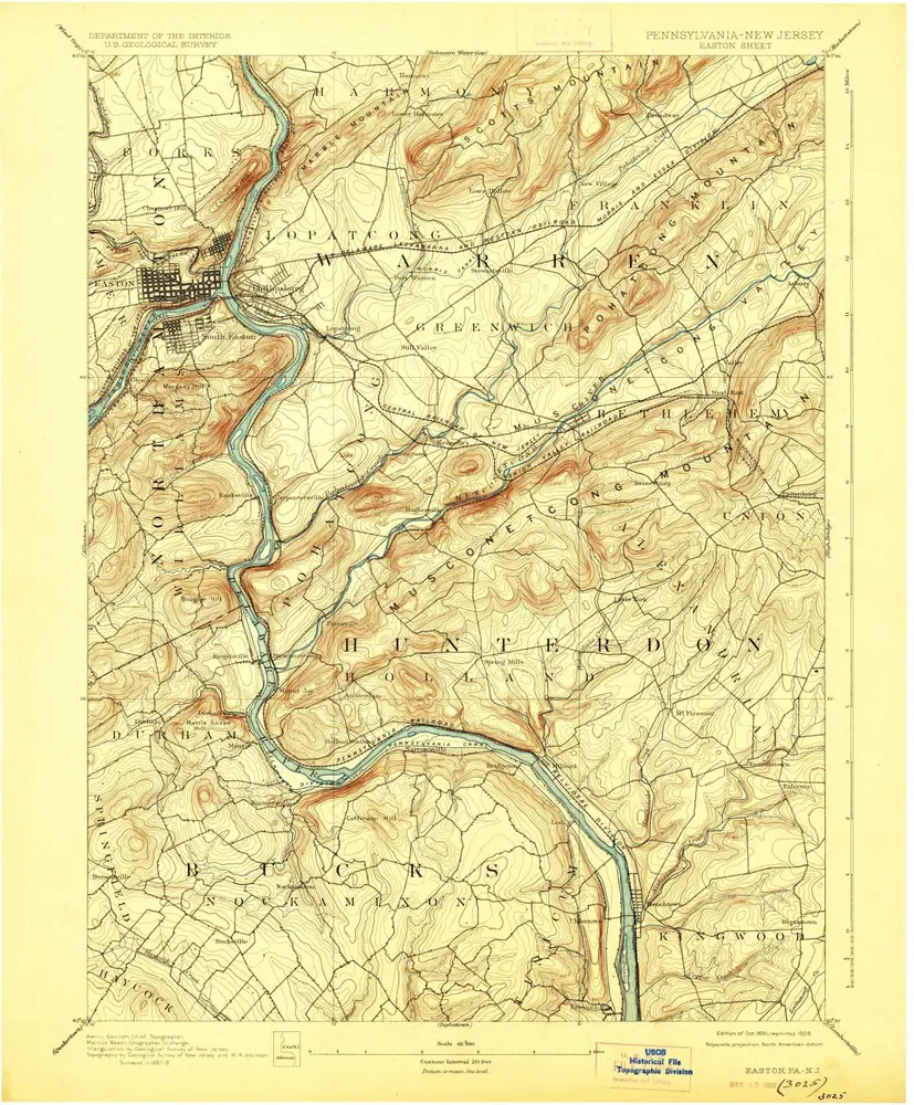
Easton
1932
1:63k
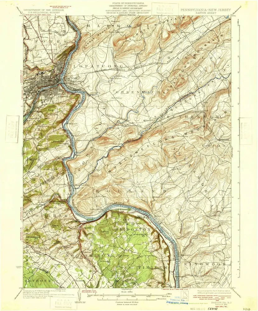
Easton
1932
1:63k
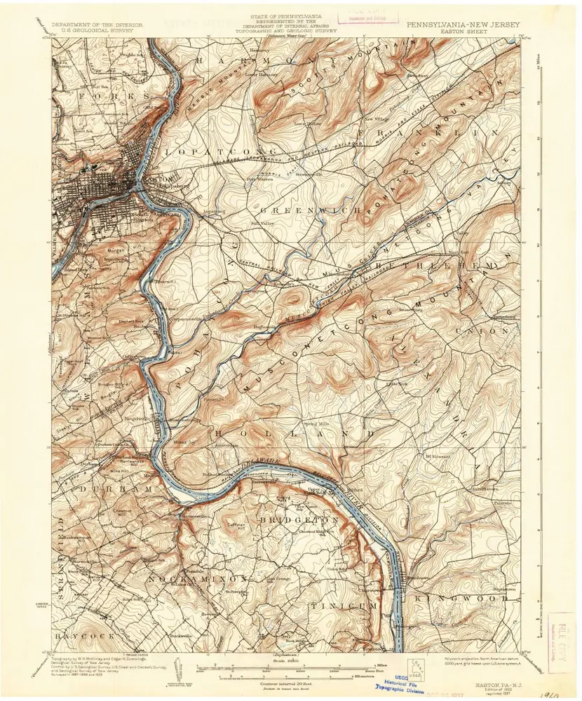
Easton
1932
1:63k
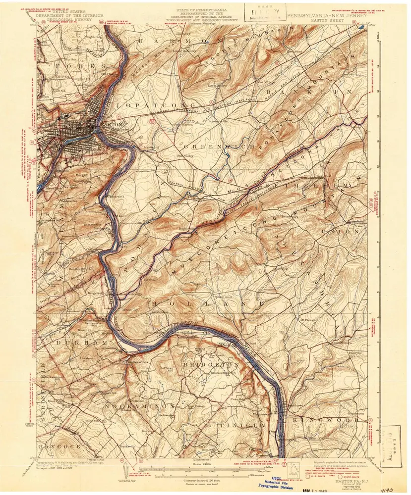
Easton
1932
1:63k
Easton
1932
1:63k
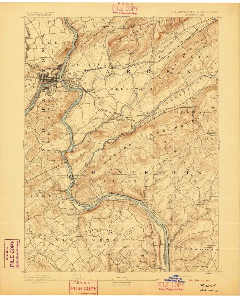
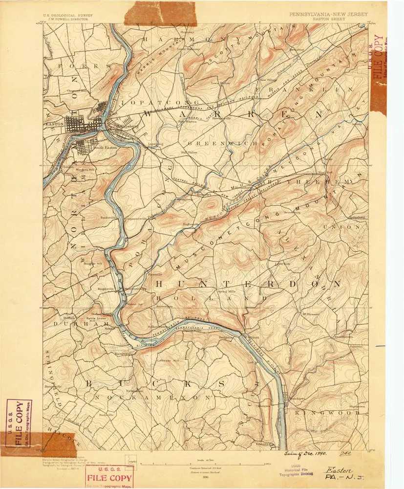
Easton
1891
1:63k
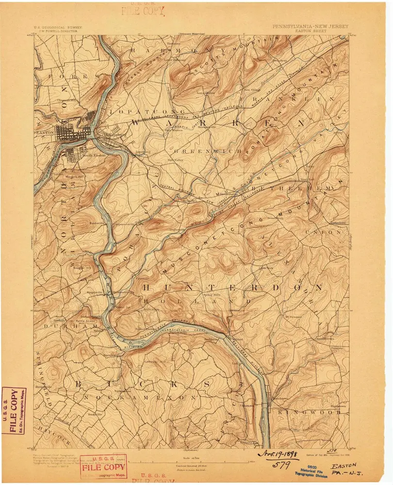
Easton
1891
1:63k
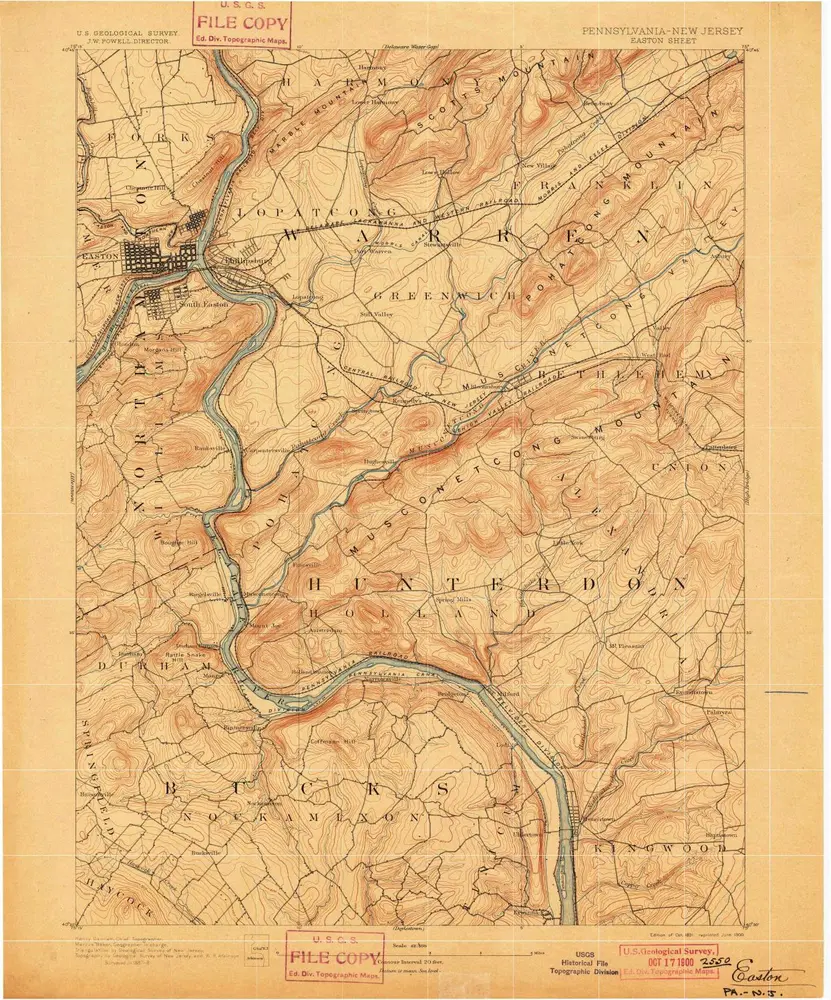
Easton
1891
1:63k
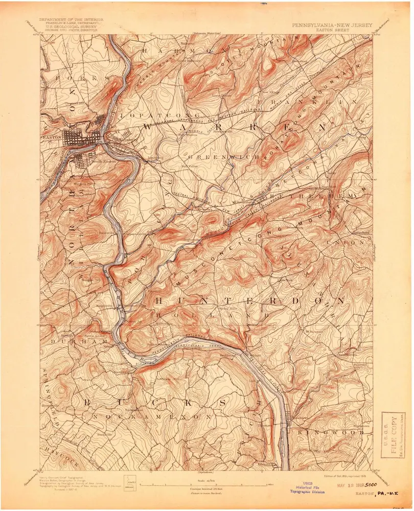
Easton
1891
1:63k
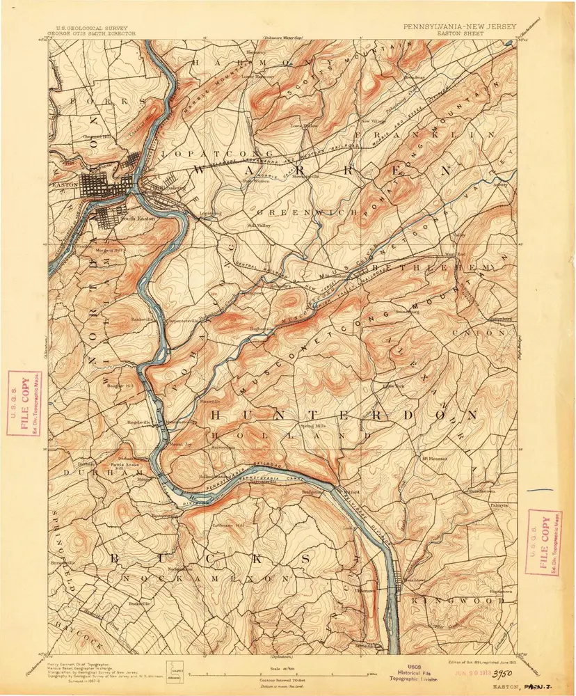
Easton
1891
1:63k
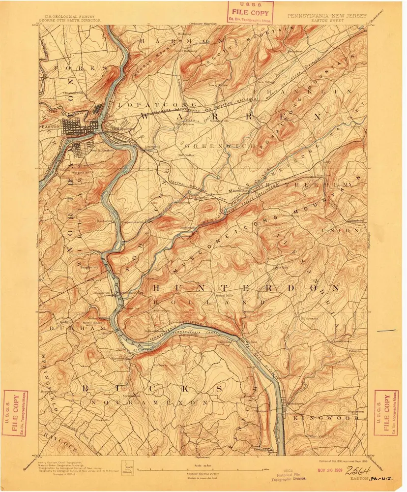
Easton
1891
1:63k
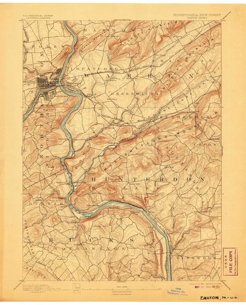
Easton
1891
1:63k
Easton
1891
1:63k
Easton
1890
1:63k