カタログ地図
Map of Hampshire, including the Isle of Wight, 5


フルタイトル:Map of Hampshire, including the Isle of Wight, 5
描かれている:1759
出版社:s.n.

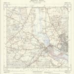
Southampton (Hills) - OS One-Inch Revised New Series
1893
Ordnance Survey
1:63k

Southampton (Outline) - OS One-Inch Revised New Series
1893
Ordnance Survey
1:63k
Map of Hampshire, including the Isle of Wight, 5
1759
s.n.

Ringwood (Hills) - OS One-Inch Revised New Series
1902
Ordnance Survey
1:63k

Ringwood (Outline) - OS One-Inch Revised New Series
1894
Ordnance Survey
1:63k

Lymington (Outline) - OS One-Inch Revised New Series
1893
Ordnance Survey
1:63k

Lymington (Hills) - OS One-Inch Revised New Series
1893
Ordnance Survey
1:63k
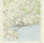
Bournemouth - OS One-Inch Map
1956
Ordnance Survey
1:63k
Map of Hampshire, including the Isle of Wight, 3
1759
s.n.
SU31 - OS 1:25,000 Provisional Series Map
1938
Ordnance Survey
1:25k