Katalogisierte Karte
Baltimore East

Einrichtung:United States Geological Survey
Vollständiger Titel:Baltimore East
Jahr der Abbildung:1953
Veröffentlichungsdatum:1976
Maßstab der Karte:1:24 000
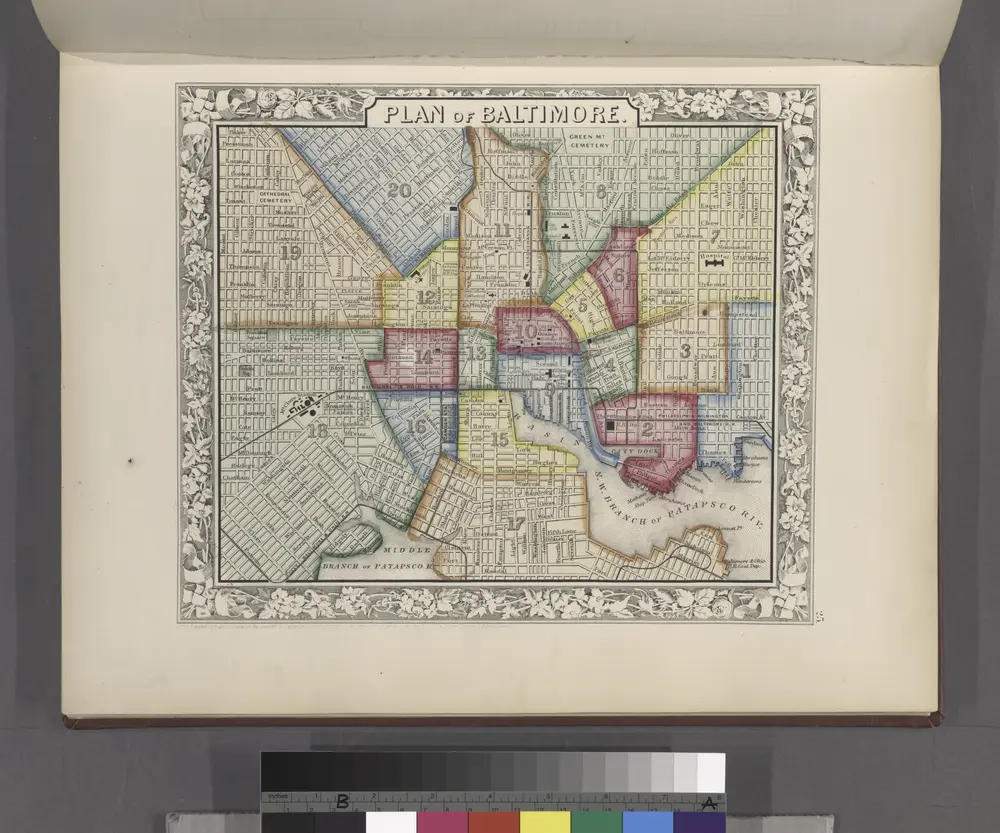
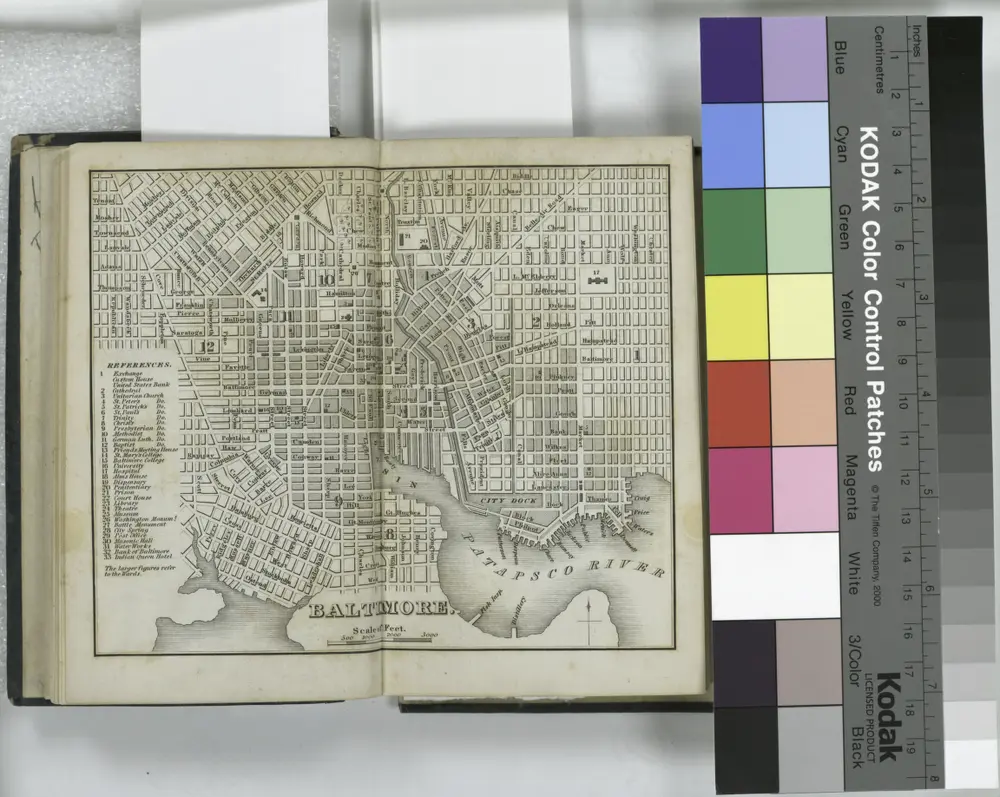
Plan of Baltimore.
1860
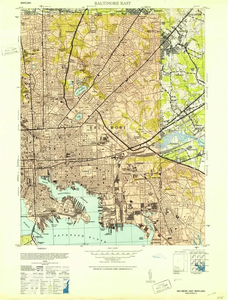
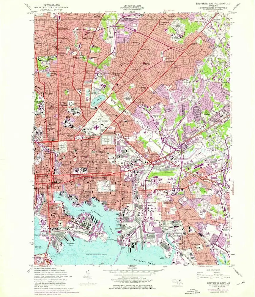
Baltimore East
1953
1:24k
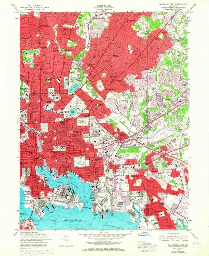
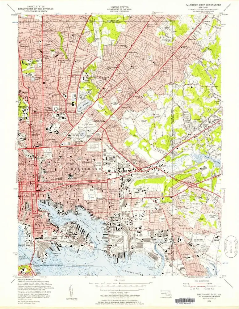
Baltimore East
1953
1:24k
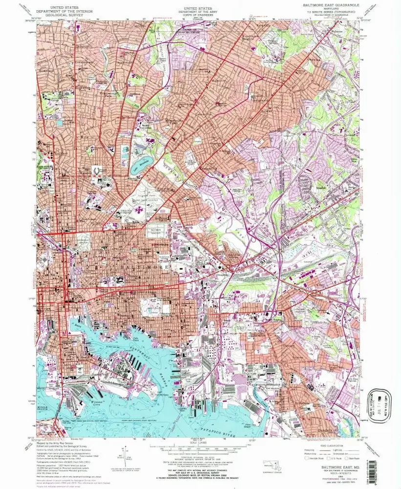
Baltimore East
1953
1:24k
Baltimore East
1953
1:24k
Baltimore East
1953
1:24k
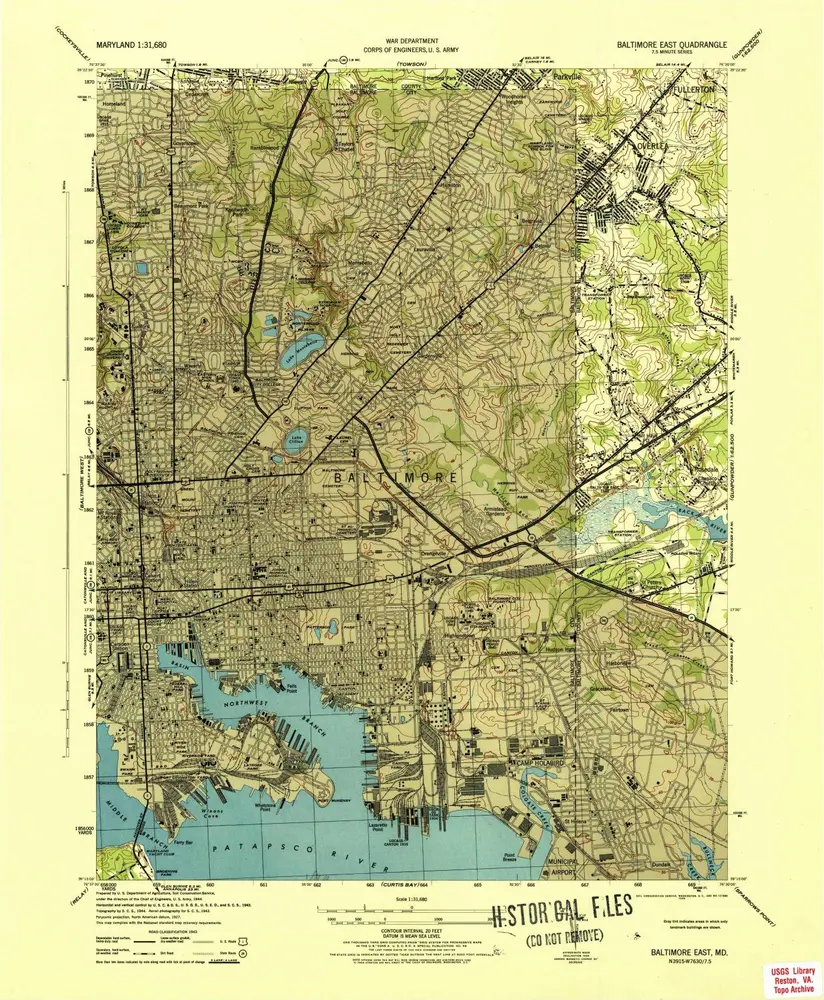
Baltimore East
1944
1:32k
Baltimore.
1836
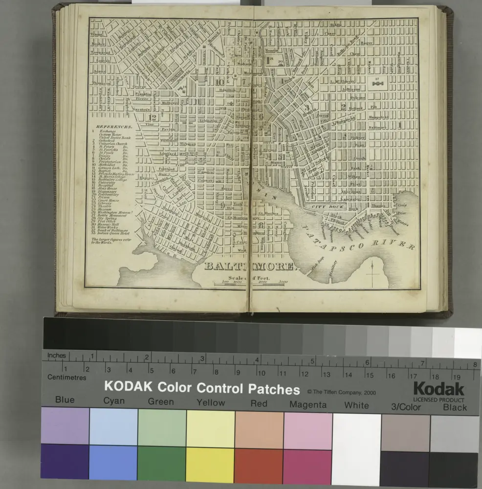
Baltimore.
1839
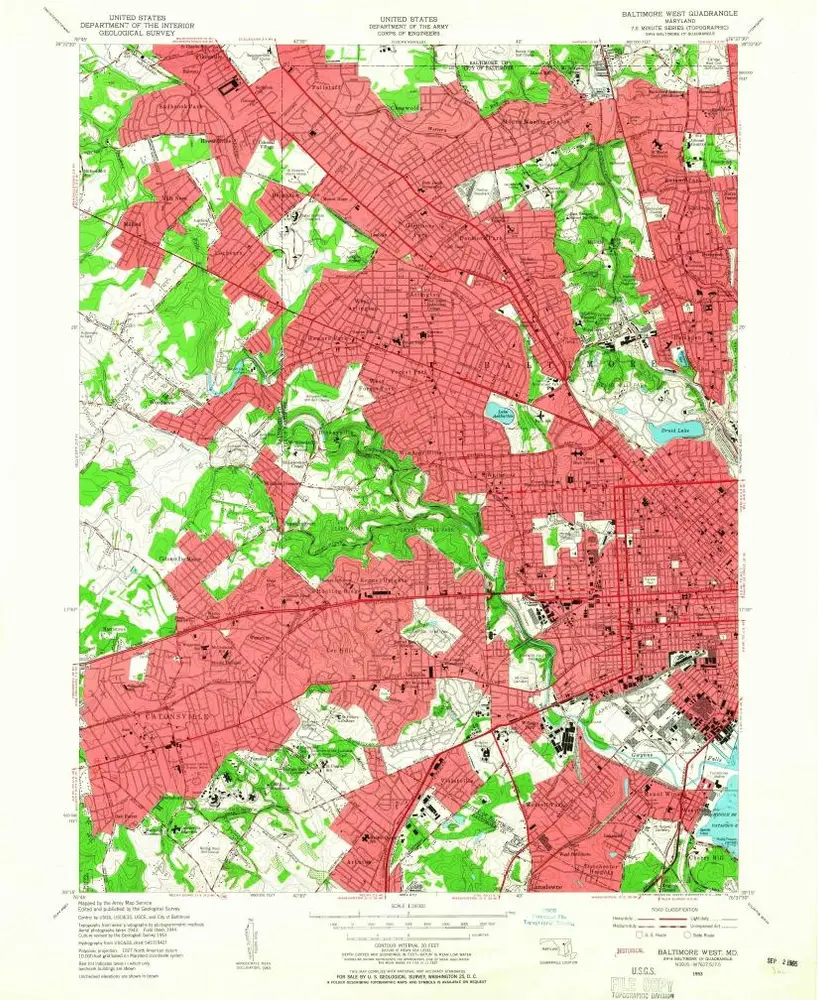
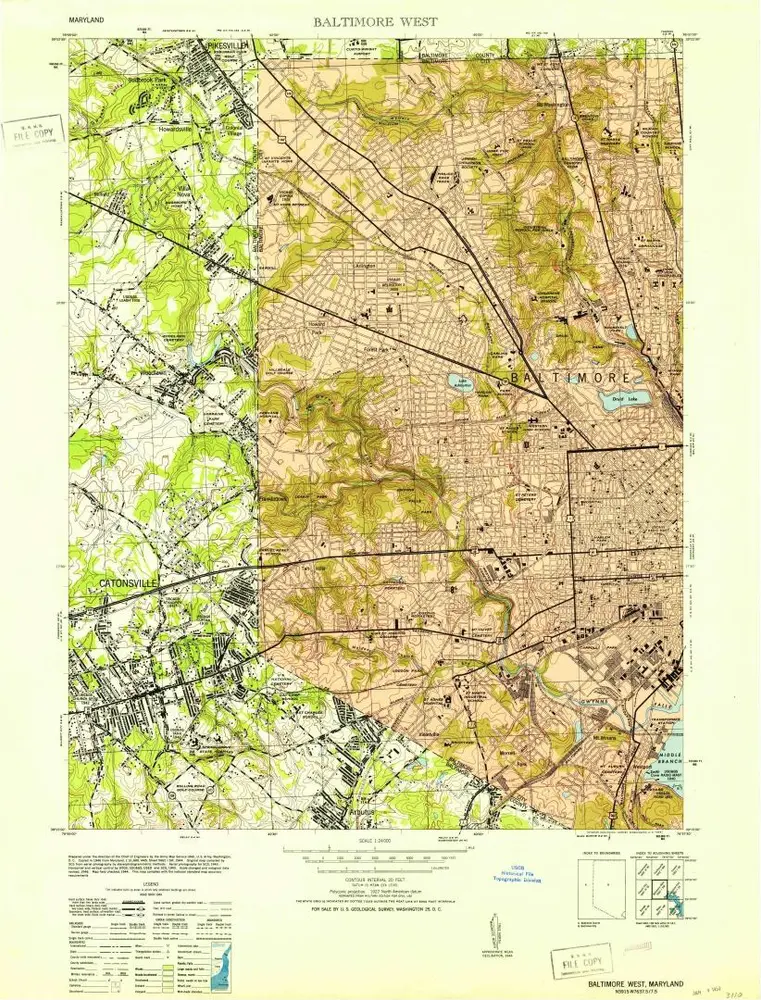
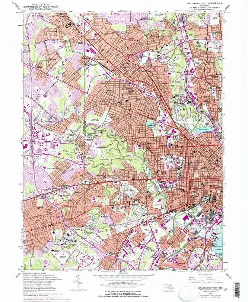
Baltimore West
1953
1:24k
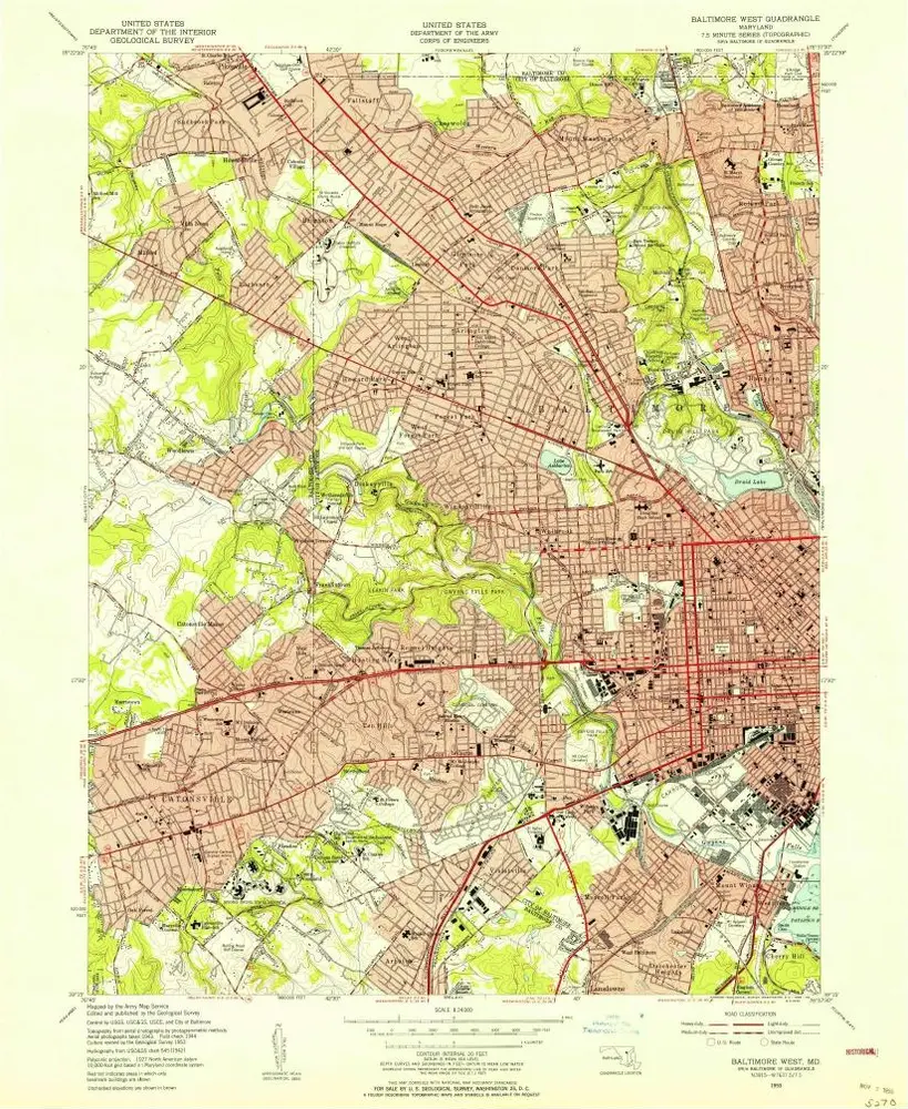
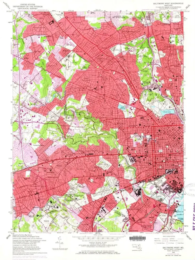
Baltimore West
1953
1:24k
Baltimore West
1953
1:24k
Baltimore West
1953
1:24k
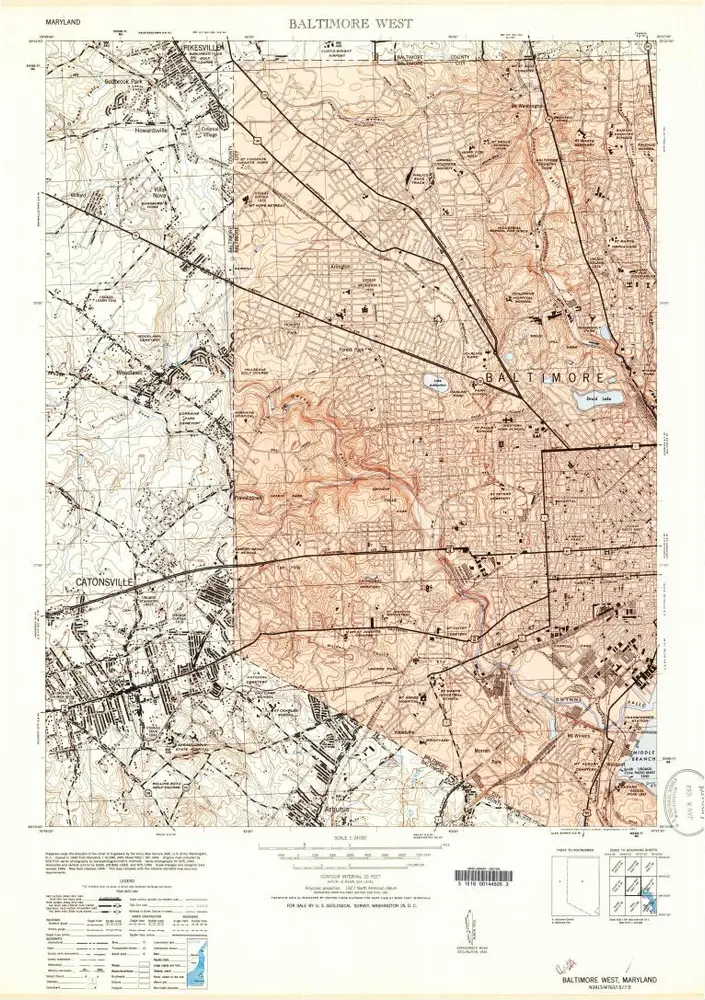
Baltimore West
1953
1:24k
Baltimore West
1953
1:24k
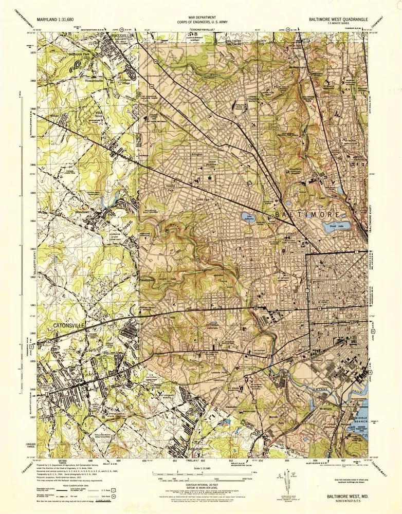
Baltimore West
1944
1:32k