Project
Community
News
My App
My maps
Katalogisierte Karte
Southeast Muskogee
View on external website
View digitized
Einrichtung:
United States Geological Survey
Vollständiger Titel:
Southeast Muskogee
Jahr der Abbildung:
1974
Veröffentlichungsdatum:
1978
Maßstab der Karte:
1:24 000
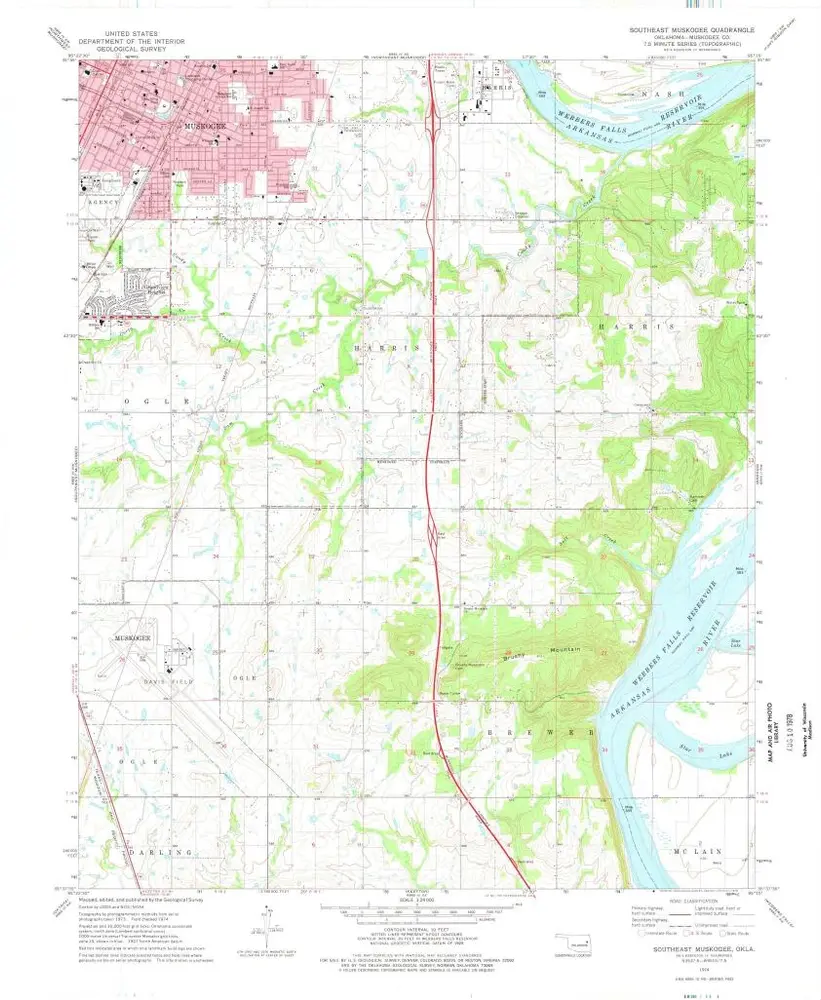
Southeast Muskogee
1974
1:24k
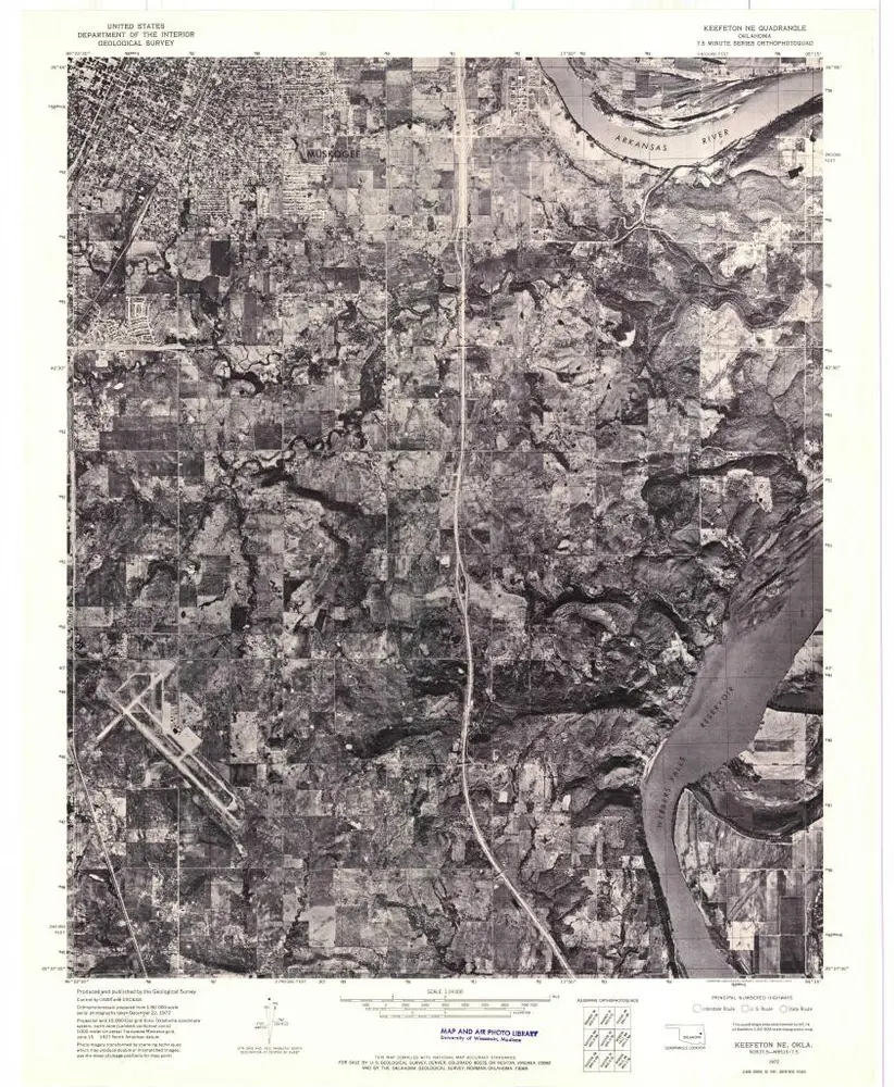
Keefeton NE
1972
1:24k
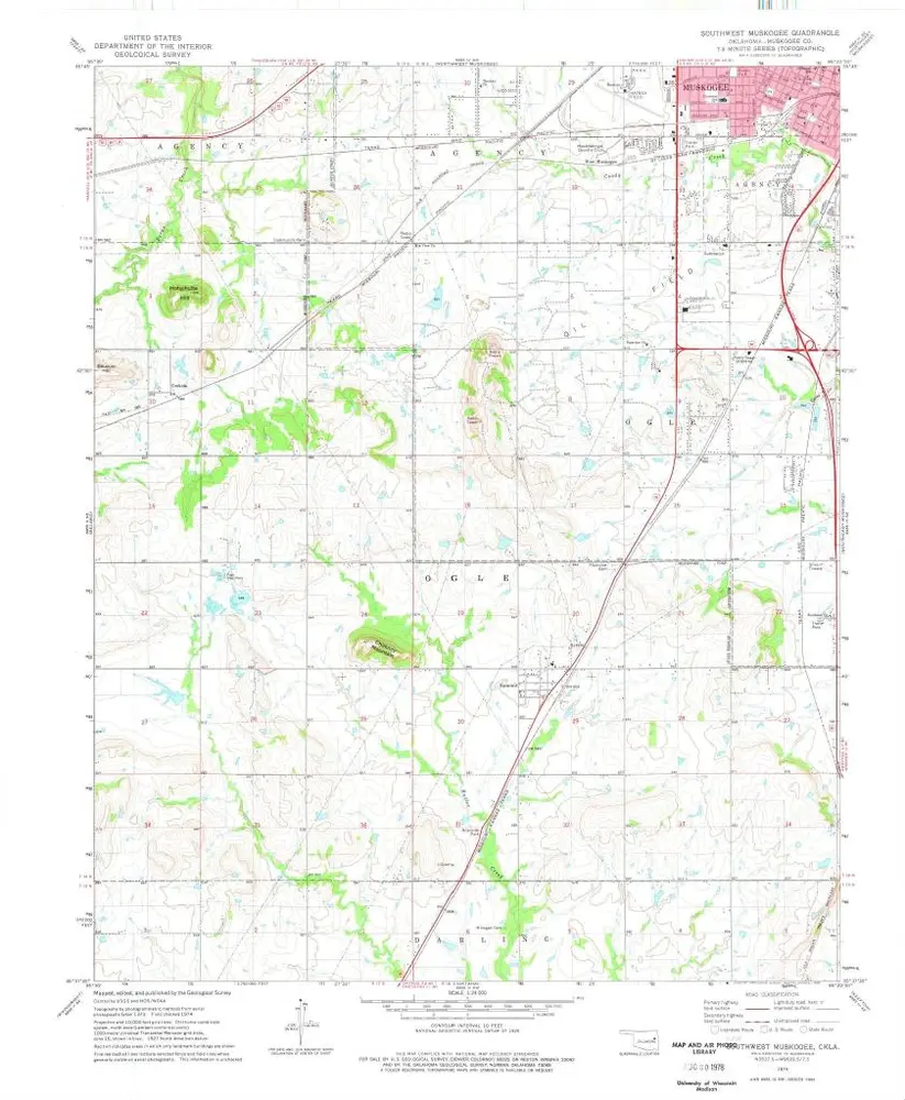
Southwest Muskogee
1974
1:24k
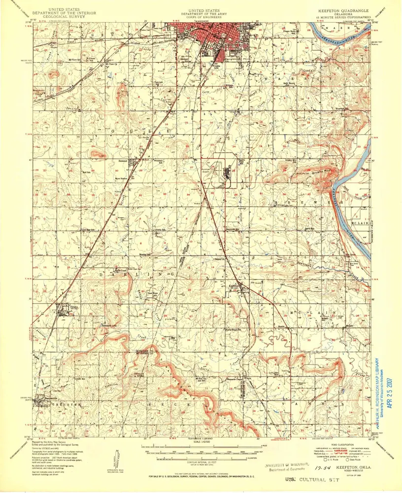
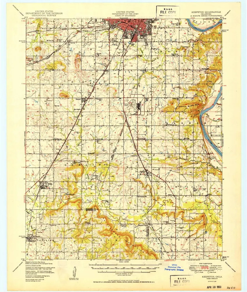
Keefeton
1950
1:63k
Keefeton
1950
1:63k
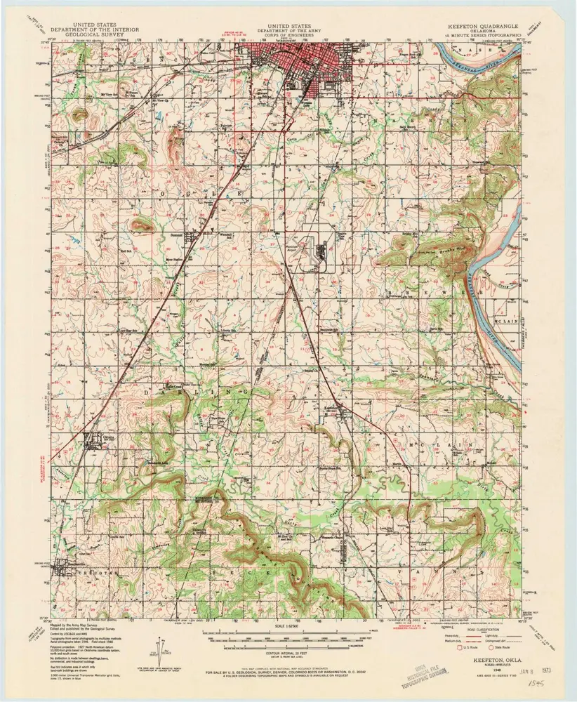
Keefeton
1948
1:63k
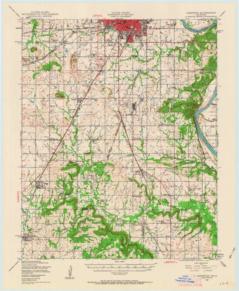
Keefeton
1948
1:63k
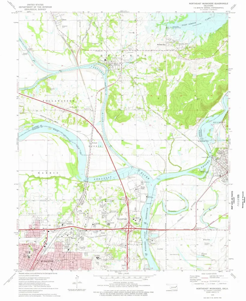
Northeast Muskogee
1974
1:24k
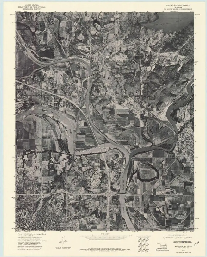
Wagoner SE
1972
1:24k
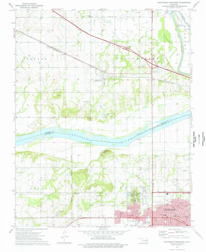
Northwest Muskogee
1974
1:24k
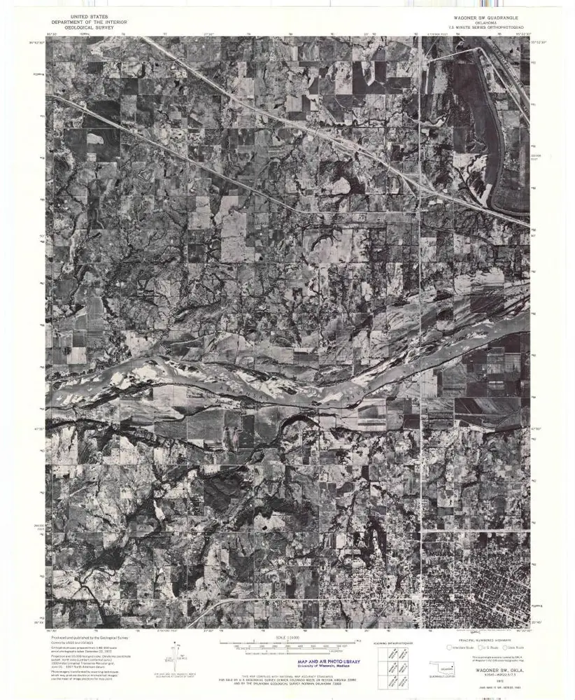
Wagoner SW
1972
1:24k
Geschichte