Project
Community
News
My App
My maps
编目地图
Vinita
View on external website
View digitized
机构:
United States Geological Survey
完整标题:
Vinita
描述:
1913
发布日期:
1949
地图比例尺:
1:125 000
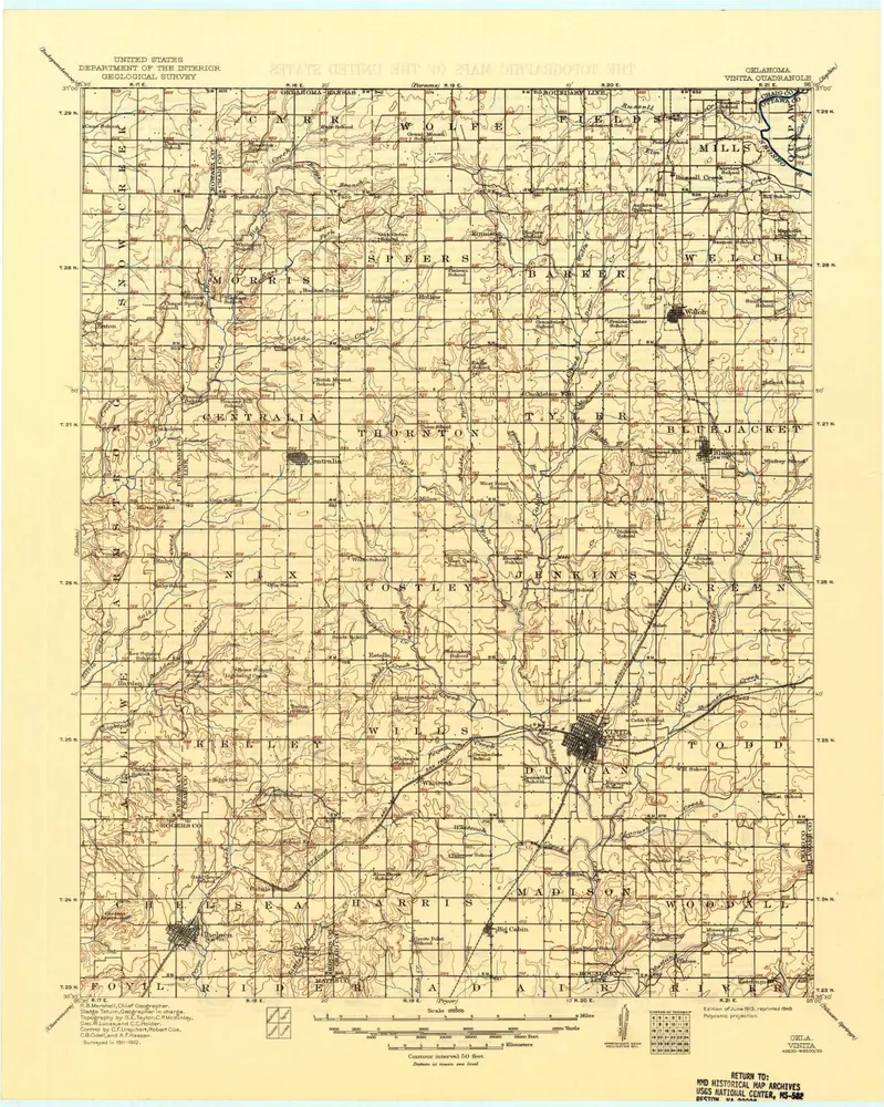
Vinita
1913
1:125k
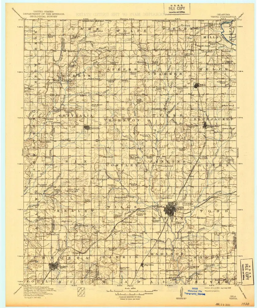
Vinita
1913
1:125k
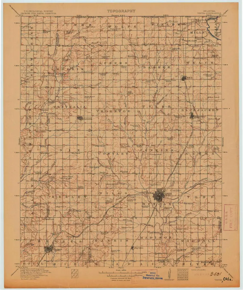
Vinita
1913
1:125k
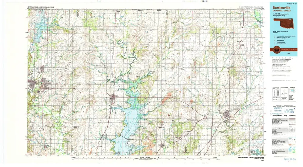
Bartlesville
1985
1:100k
Bartlesville
1985
1:100k
Estella
1972
1:24k
Estella
1972
1:24k
Vinita
1971
1:24k
Centralia
1972
1:24k
Pyramid Corners
1971
1:24k
历史