Project
Community
News
My App
My maps
Katalogisierte Karte
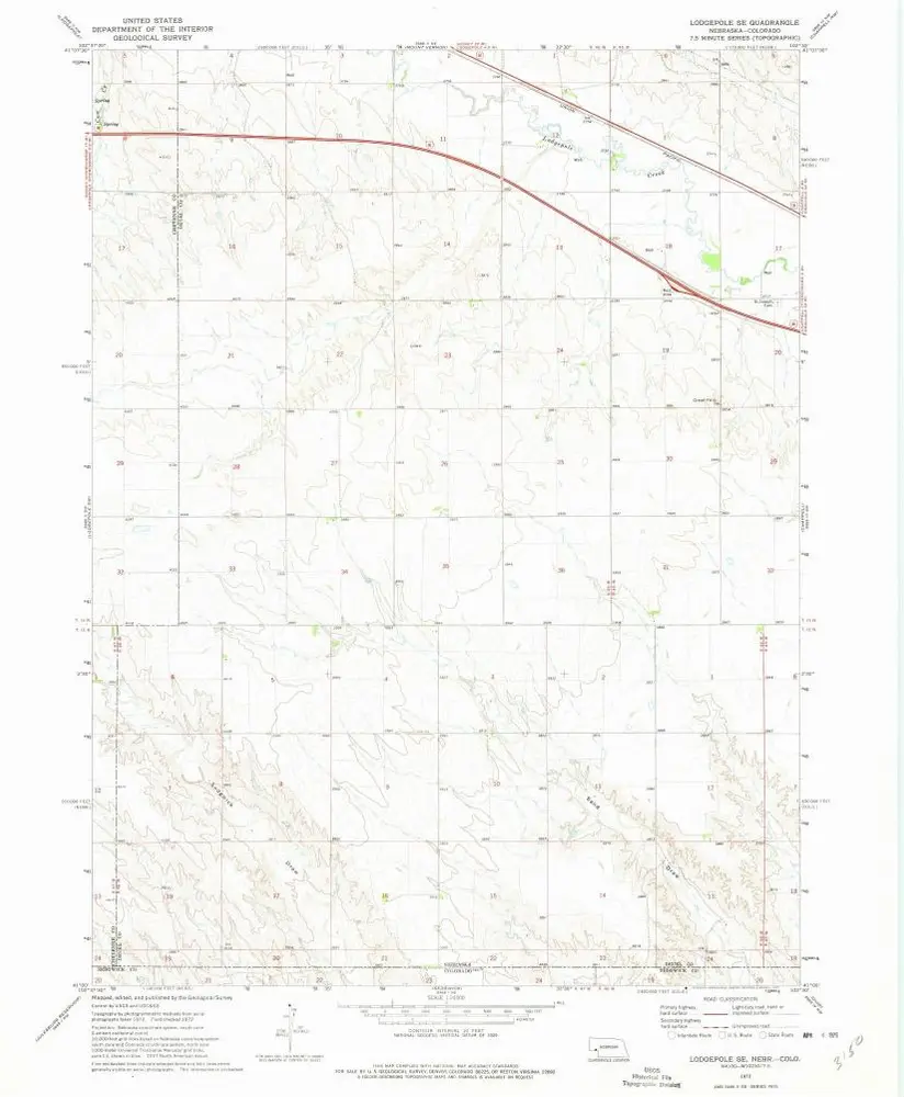
Lodgepole SE
View on external website
View digitized
Einrichtung:
United States Geological Survey
Vollständiger Titel:
Lodgepole SE
Jahr der Abbildung:
1972
Veröffentlichungsdatum:
1975
Maßstab der Karte:
1:24 000
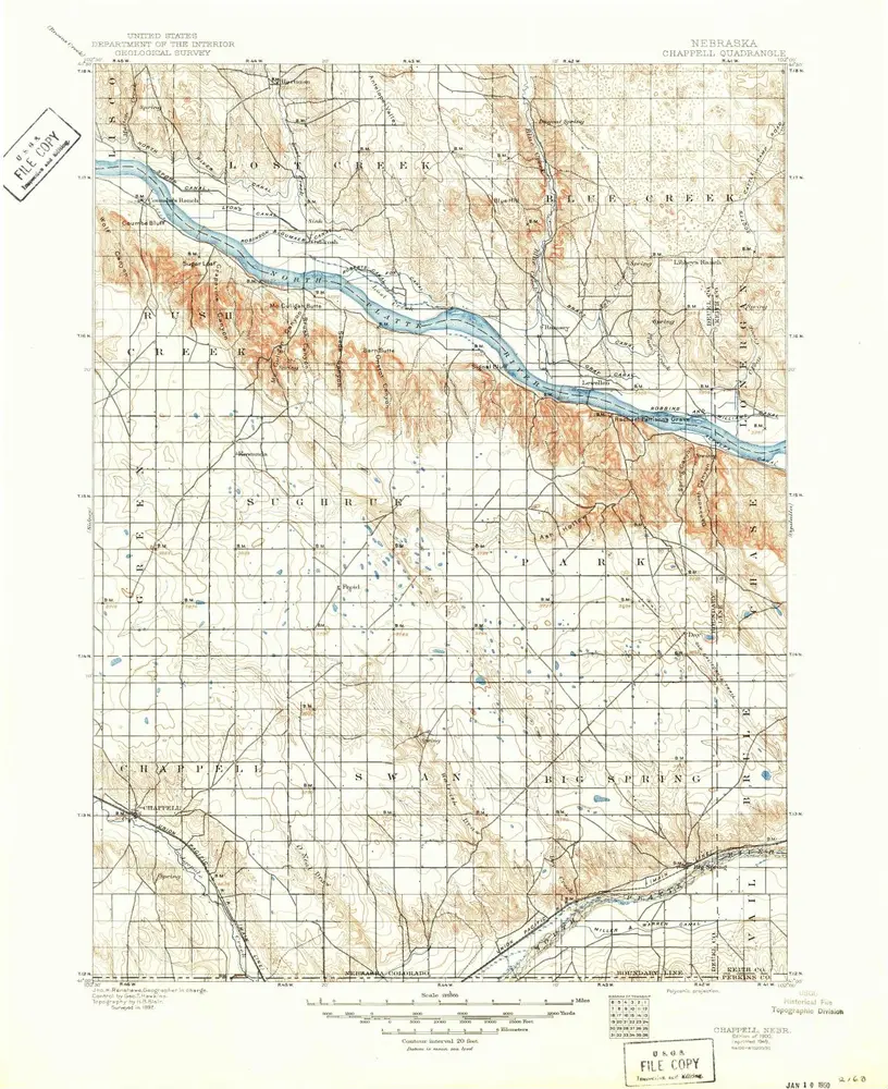
Chappell
1900
1:125k
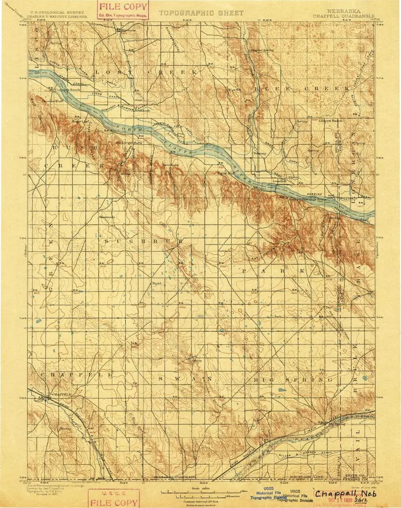
Chappell
1900
1:125k
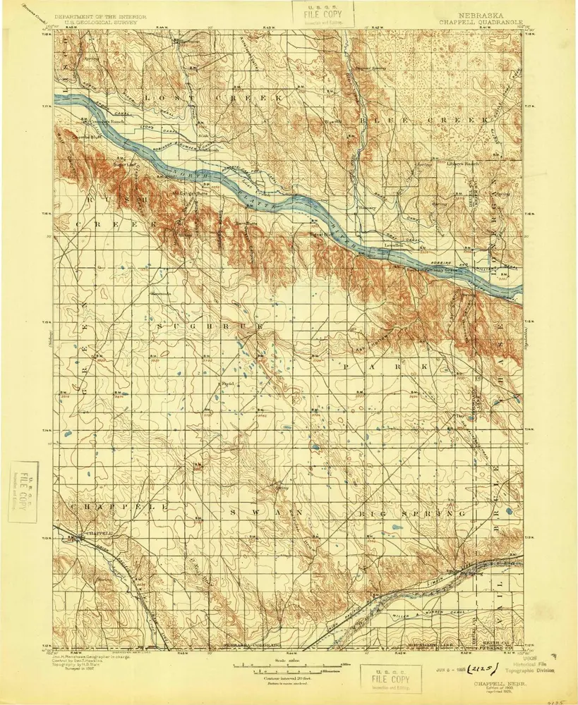
Chappell
1900
1:125k
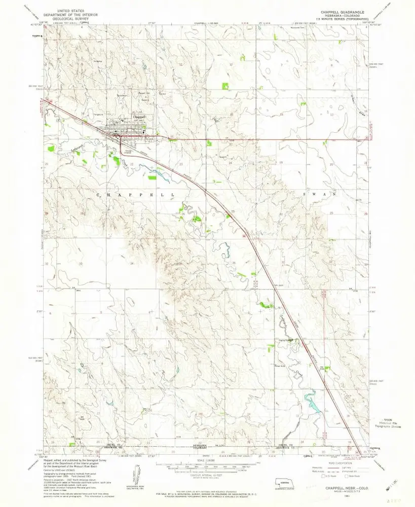
Chappell
1961
1:24k
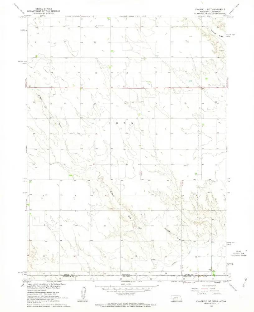
Chappell SE
1961
1:24k
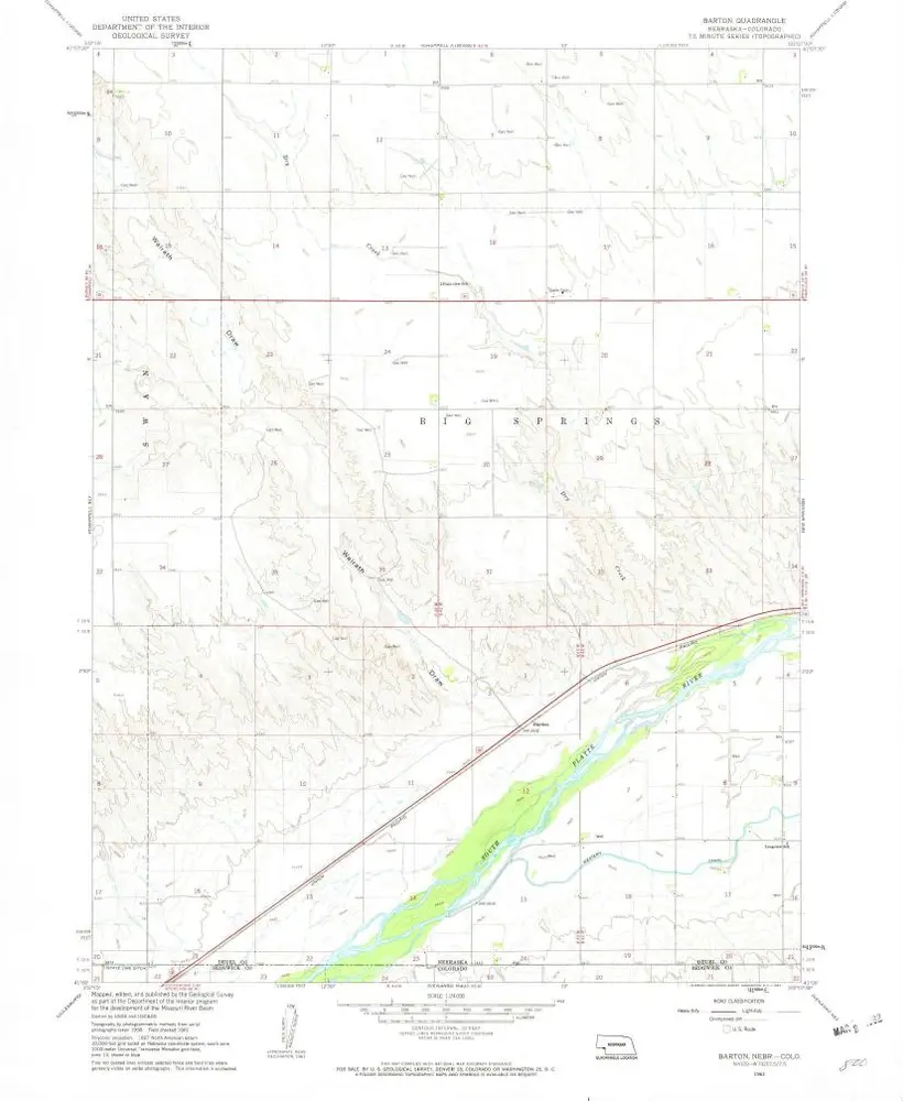
Barton
1961
1:24k
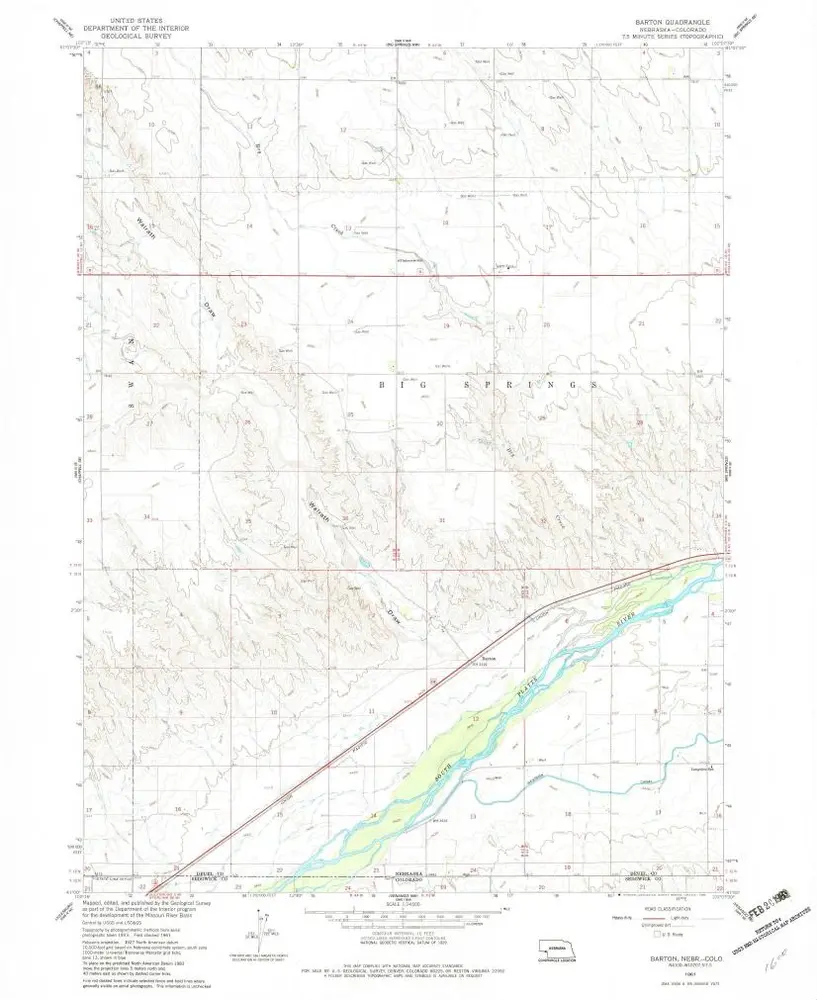
Barton
1961
1:24k
Lodgepole SE
1972
1:24k
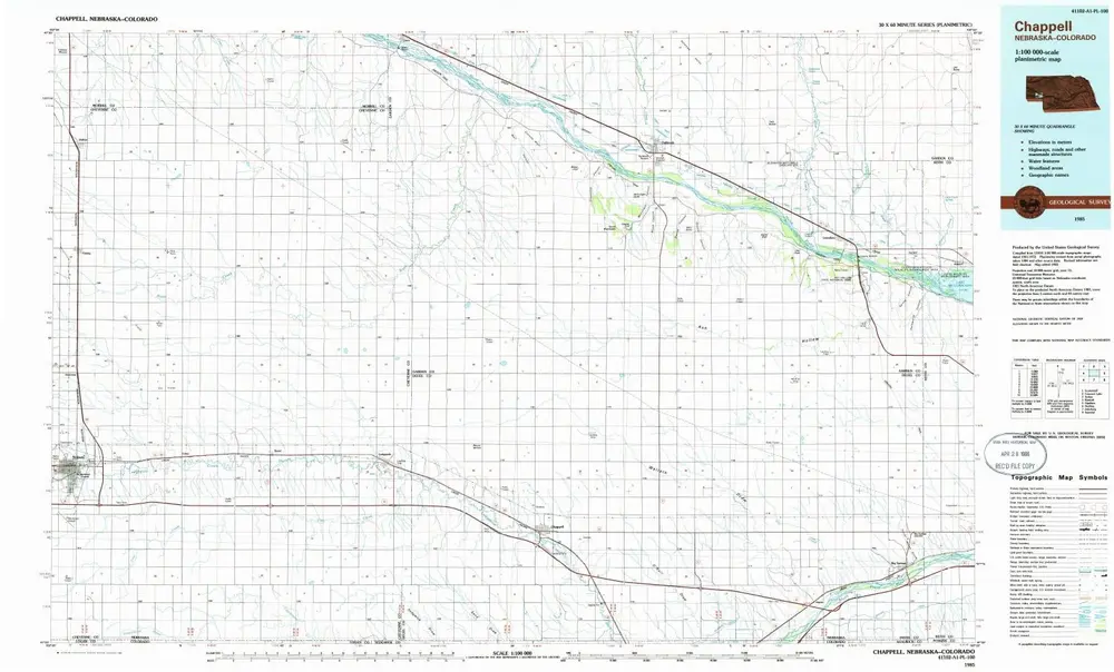
Chappell
1985
1:100k
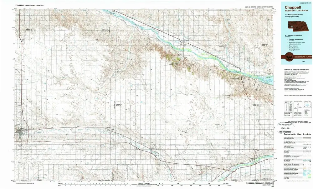
Chappell
1985
1:100k
Geschichte