Project
Community
News
My App
My maps
Katalogisierte Karte
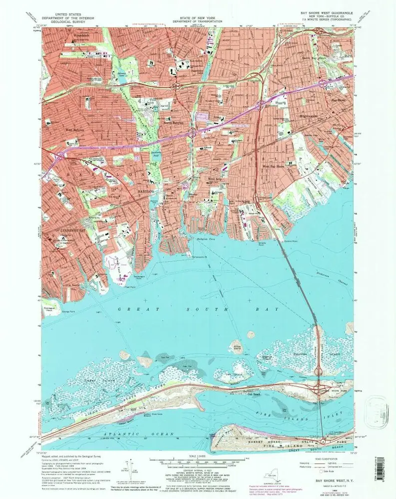
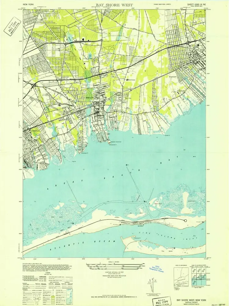
Bay Shore West
View on external website
View digitized
Einrichtung:
United States Geological Survey
Vollständiger Titel:
Bay Shore West
Jahr der Abbildung:
1969
Veröffentlichungsdatum:
1979
Maßstab der Karte:
1:24 000
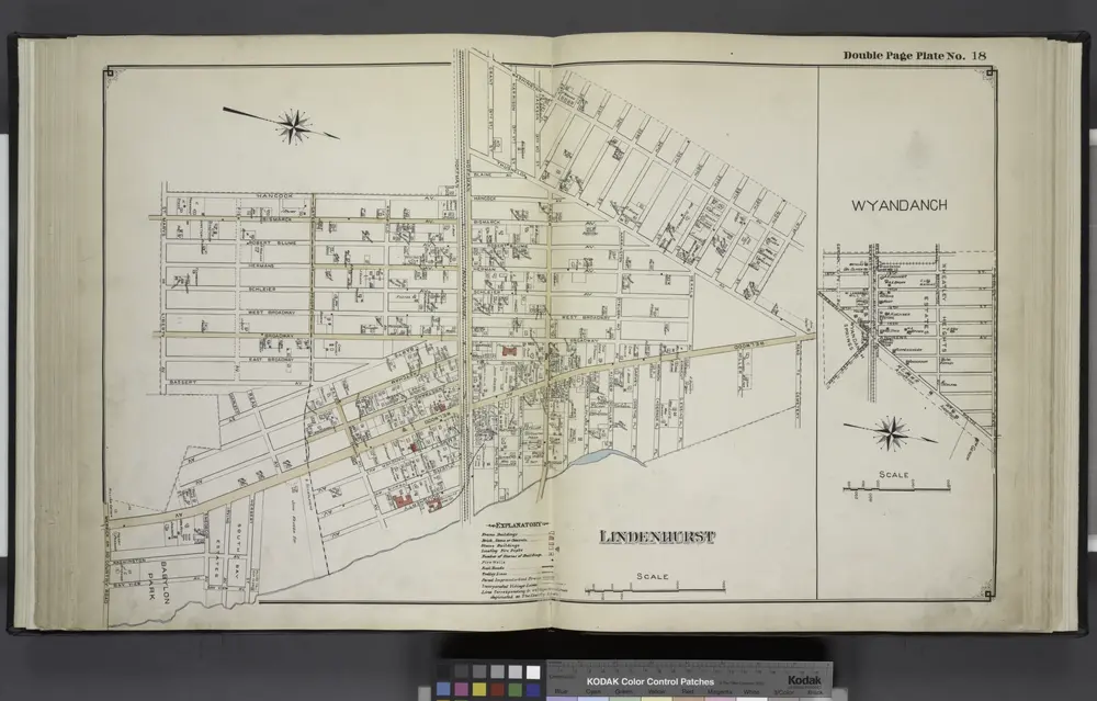
Lindenhurst; Wyandanch
1915
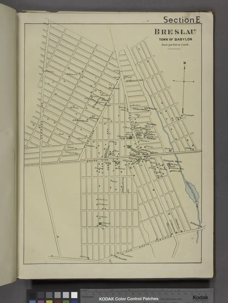
Breslau. [Village]
1888
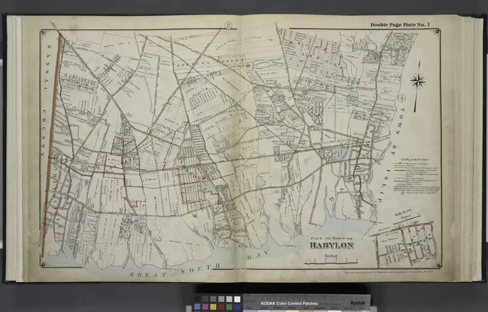
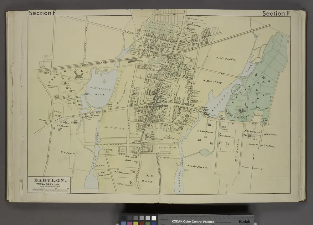
Part of Town Babylon
1915
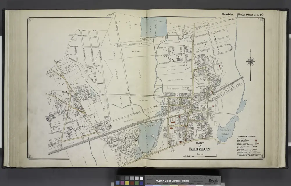
Part of Babylon
1915
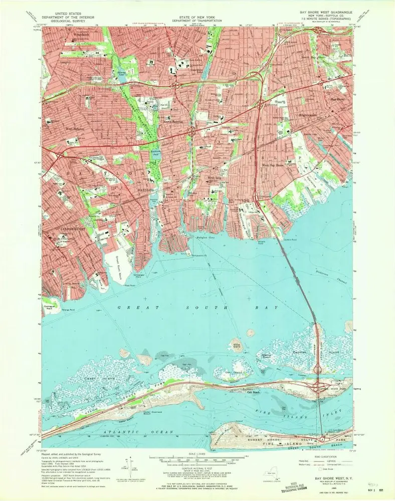
Bay Shore West
1969
1:24k
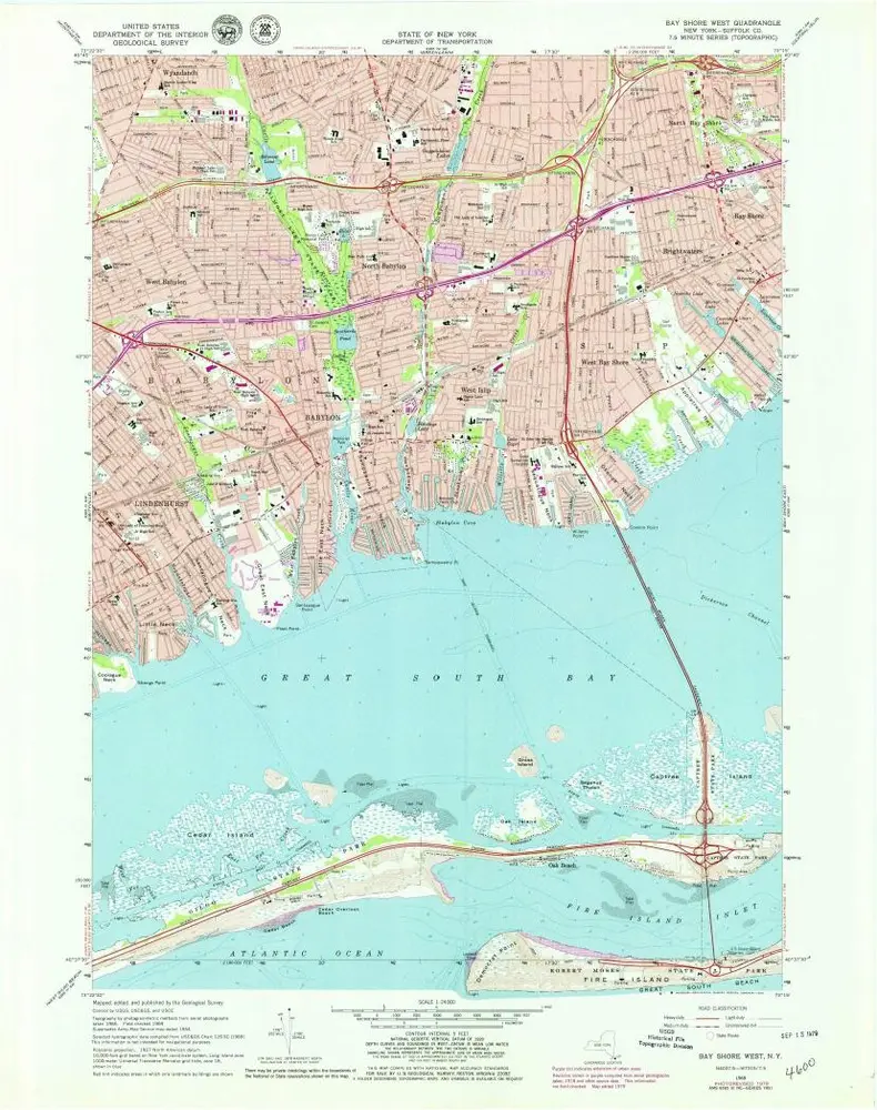
Bay Shore West
1969
1:24k
Bay Shore West
1969
1:24k
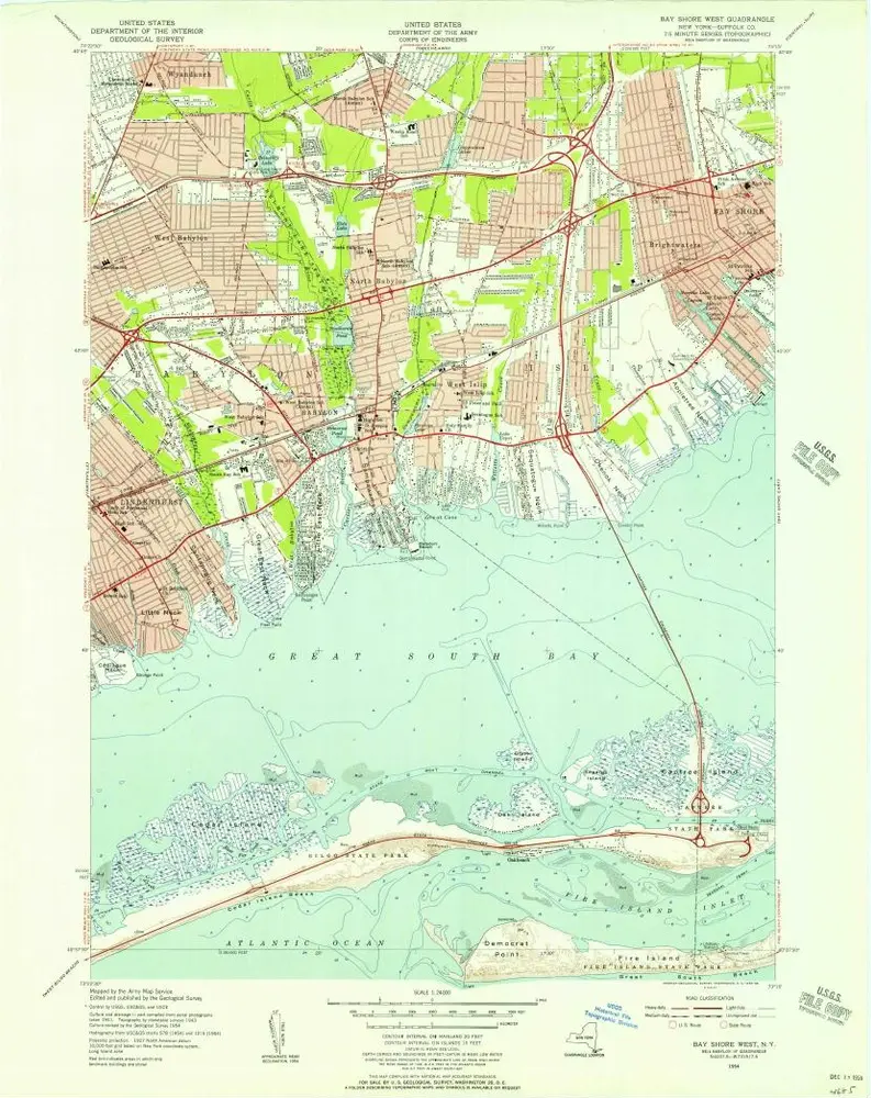
Bay Shore West
1954
1:24k
Bay Shore West
1941
1:24k
Babylon. [Village]
1888
Geschichte