Project
Community
News
My App
My maps
Carte cataloguée
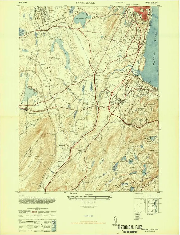
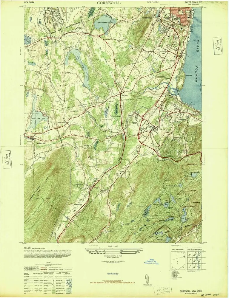
Cornwall
View on external website
View digitized
Institution:
United States Geological Survey
Titre complet:
Cornwall
Année de l'image:
1947
Échelle de la carte:
1:24 000
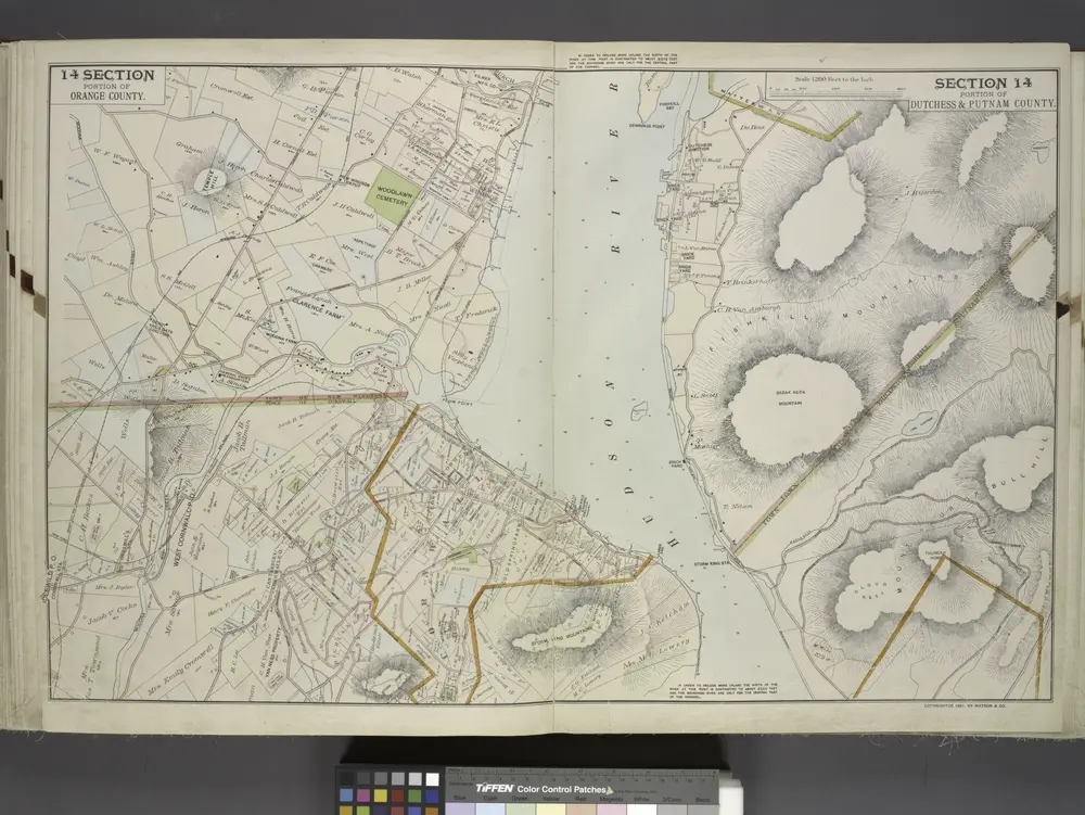
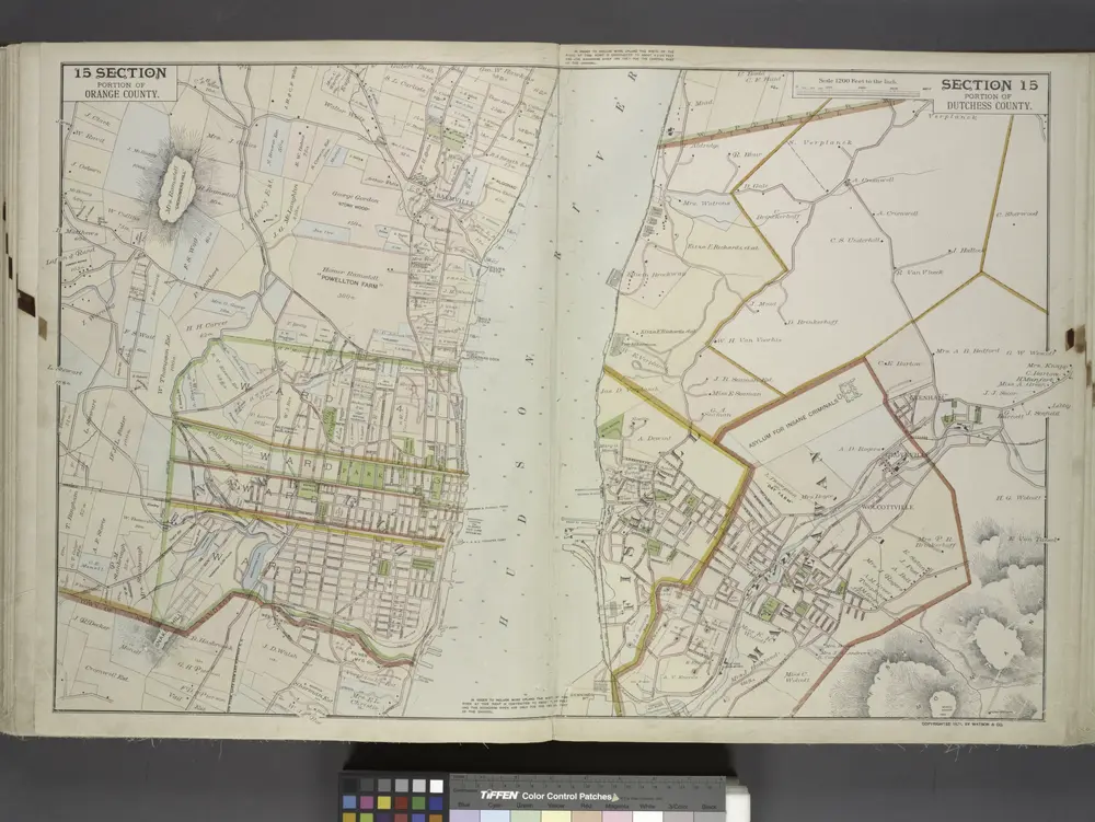
Portion of Orange County. ; Portion of Dutchess & Putnam County.
1891
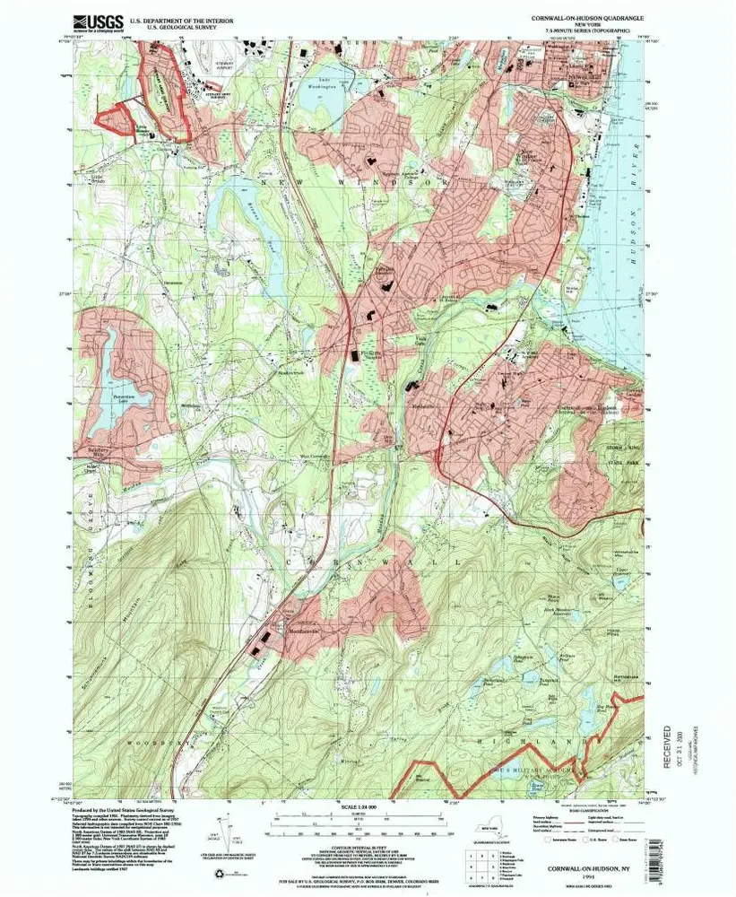
Cornwall-on-Hudson
1994
1:24k
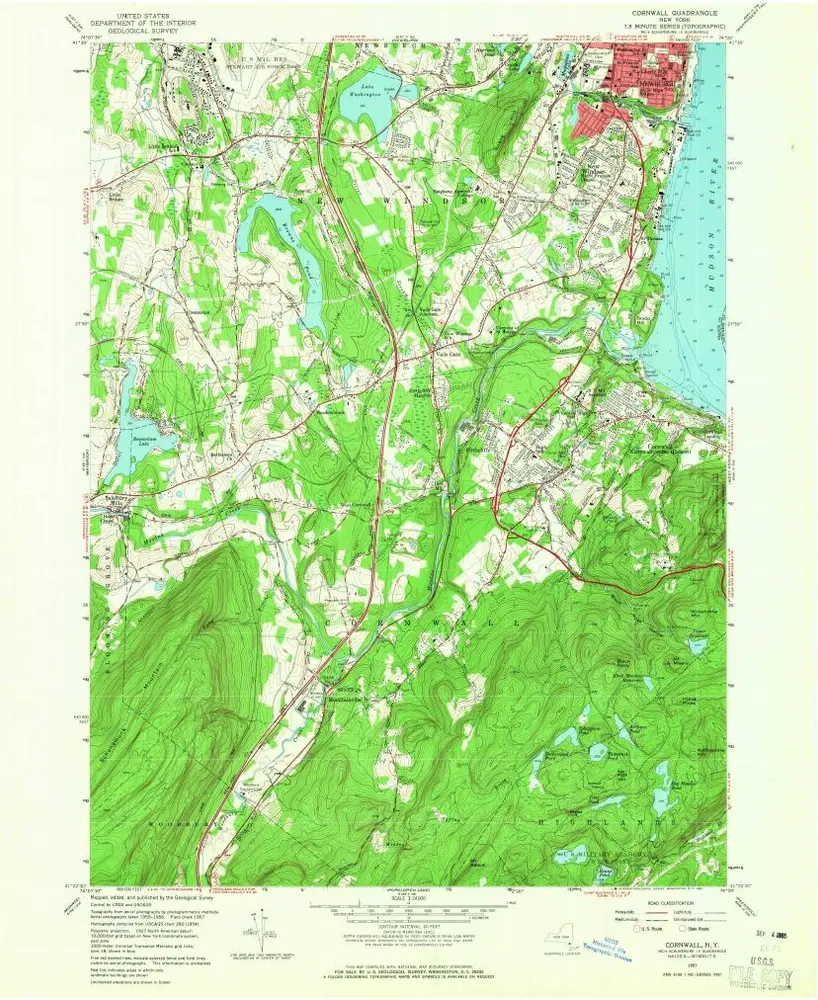
Cornwall
1957
1:24k
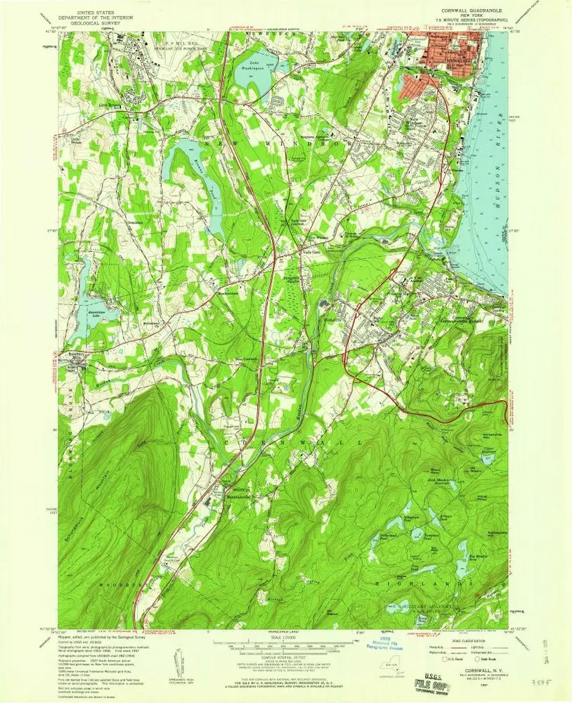
Cornwall
1957
1:24k
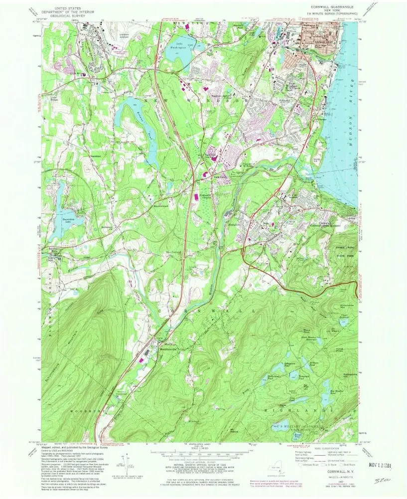
Cornwall
1957
1:24k
Cornwall
1957
1:24k
Cornwall
1957
1:24k
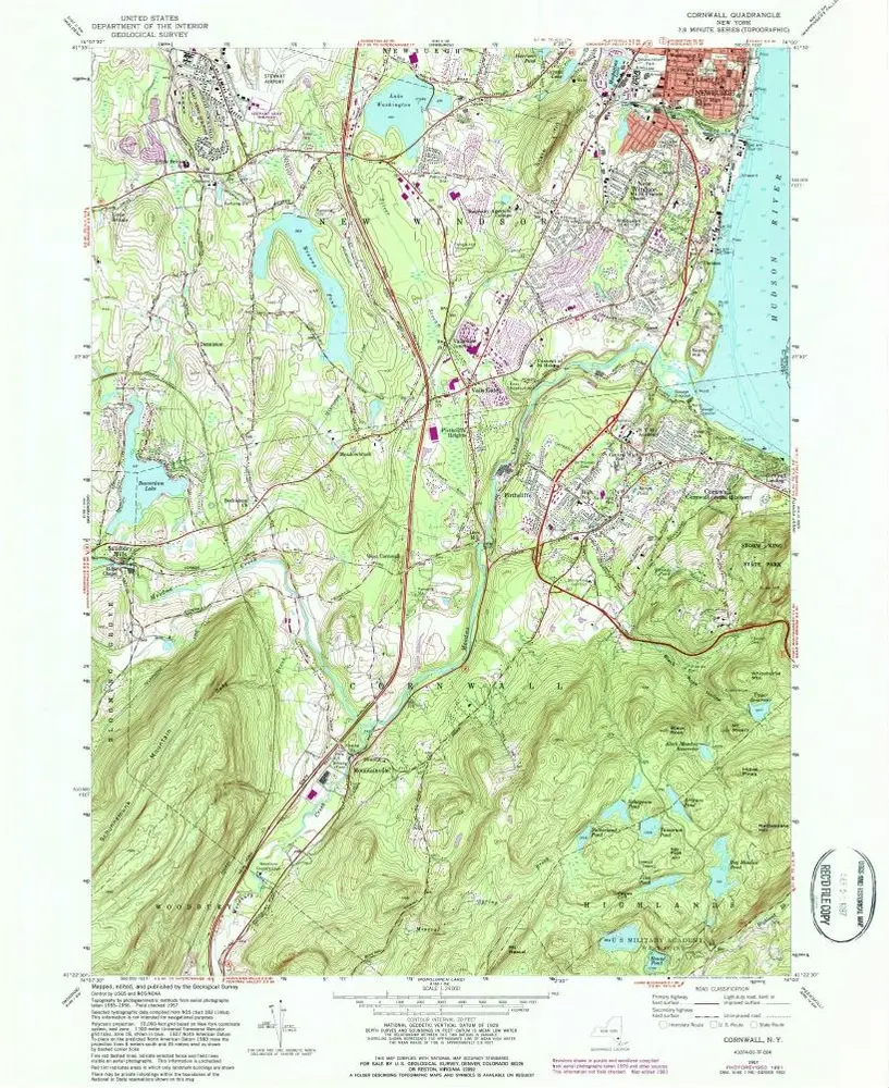
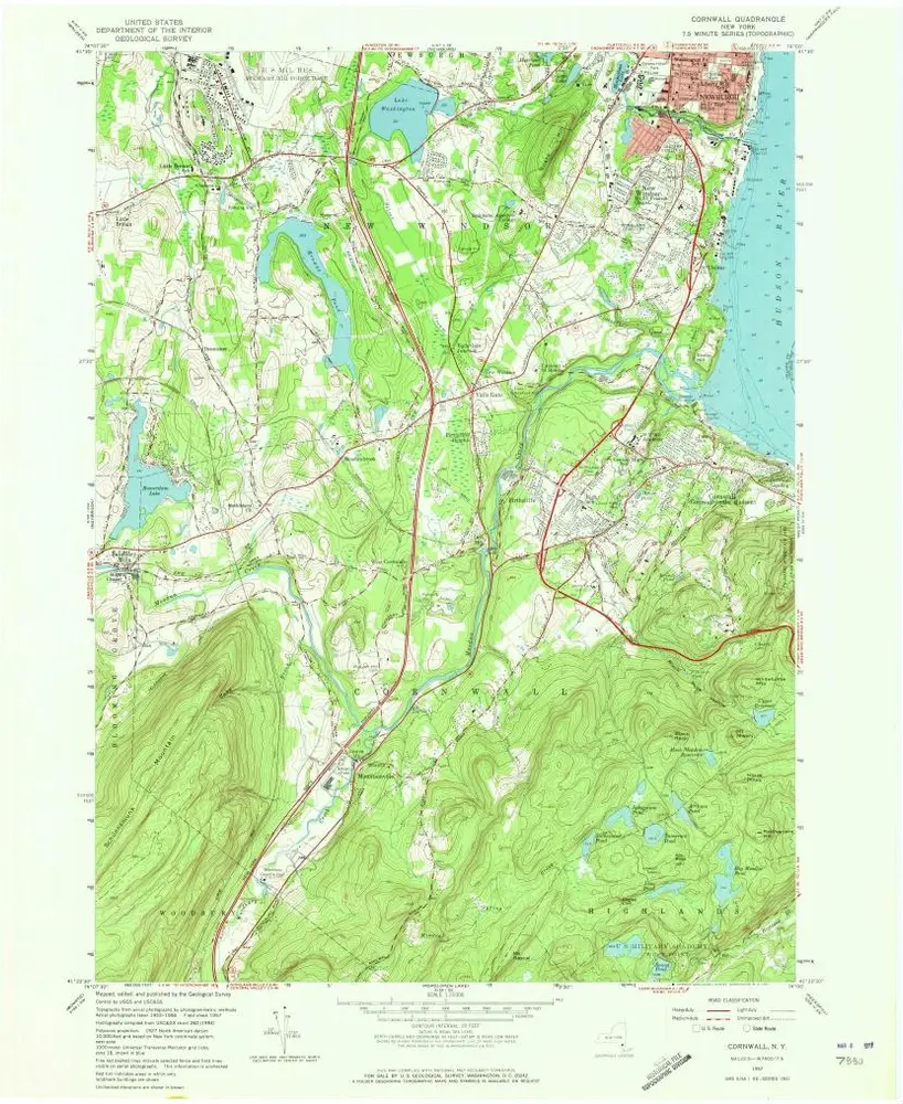
Cornwall
1947
1:24k
Cornwall
1947
1:24k
Portion of Orange County. ; Portion of Dutchess County.
1891
L'histoire