Project
Community
News
My App
My maps
Katalogisierte Karte
Wheaton
View on external website
View digitized
Einrichtung:
United States Geological Survey
Vollständiger Titel:
Wheaton
Jahr der Abbildung:
1954
Veröffentlichungsdatum:
1955
Maßstab der Karte:
1:24 000
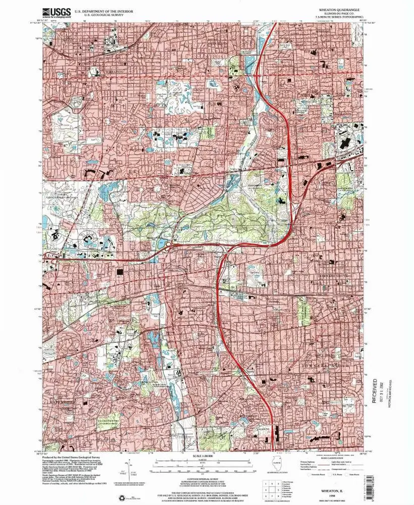
Wheaton
1998
1:24k
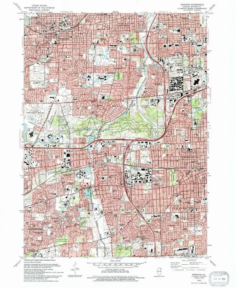
Wheaton
1993
1:24k
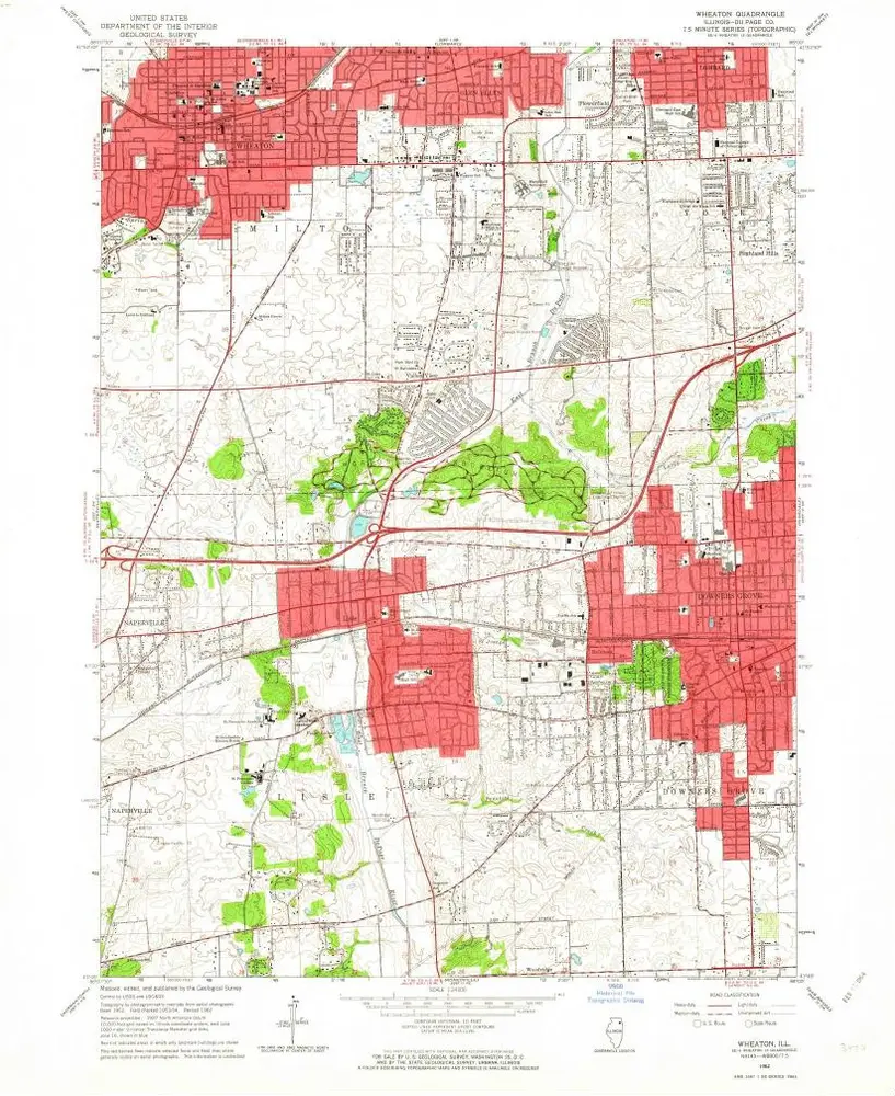
Wheaton
1962
1:24k
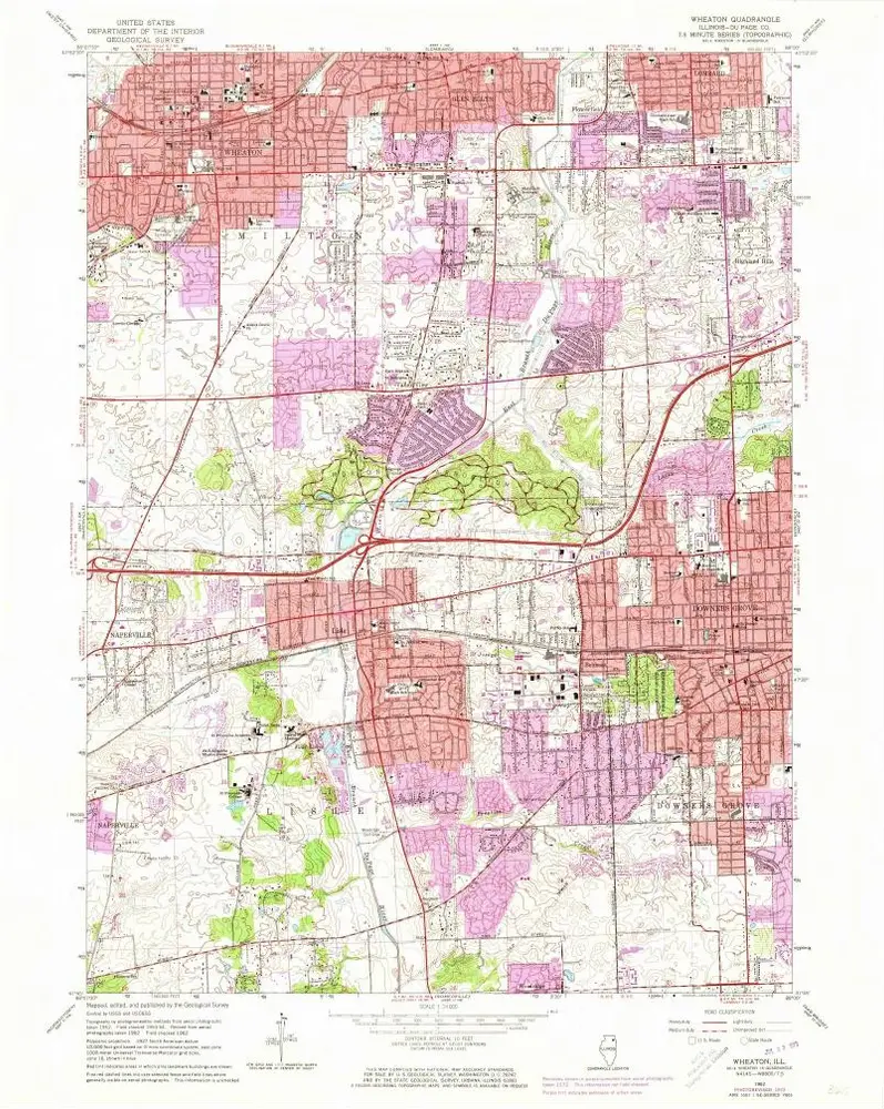
Wheaton
1962
1:24k
Wheaton
1962
1:24k
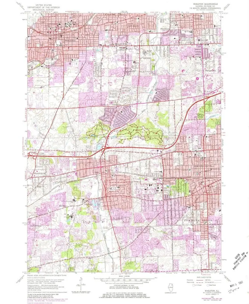
Wheaton
1962
1:24k
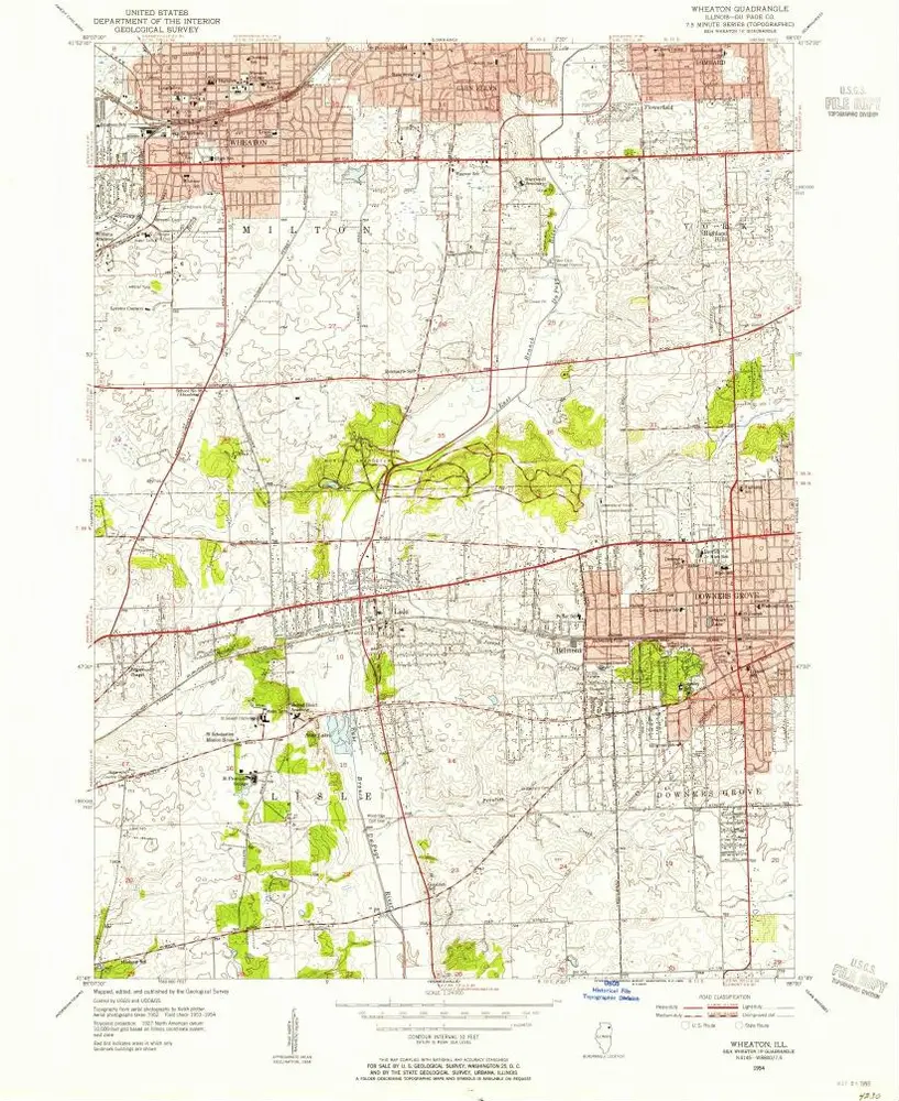
Wheaton
1954
1:24k
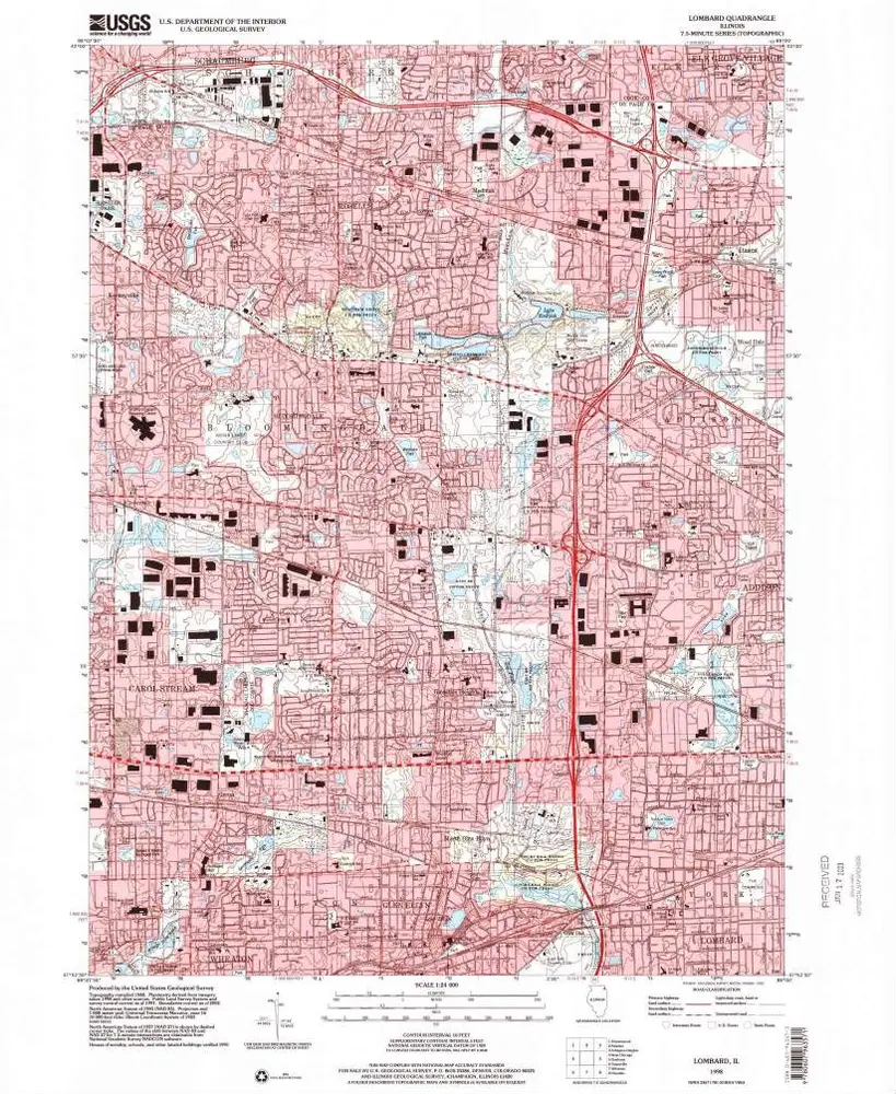
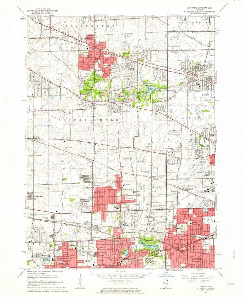
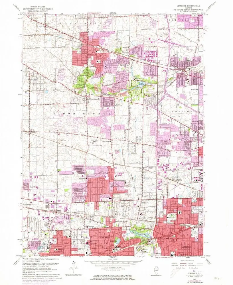
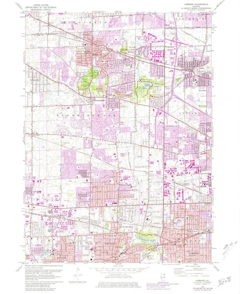
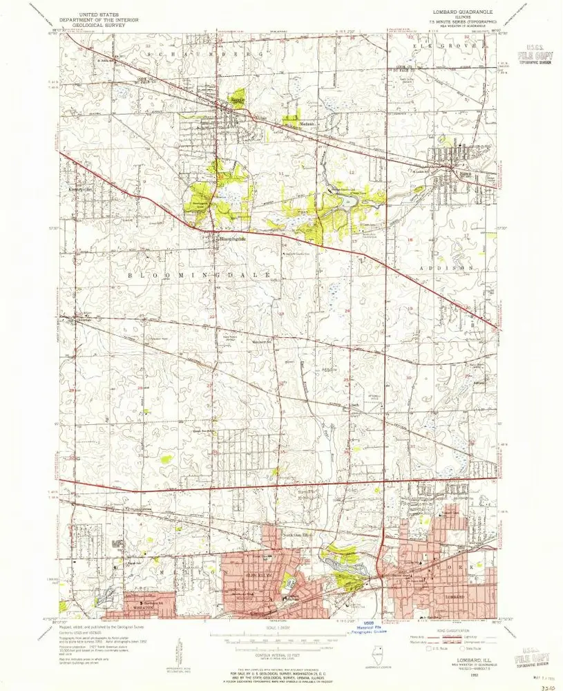
Lombard
1998
1:24k
Lombard
1993
1:24k
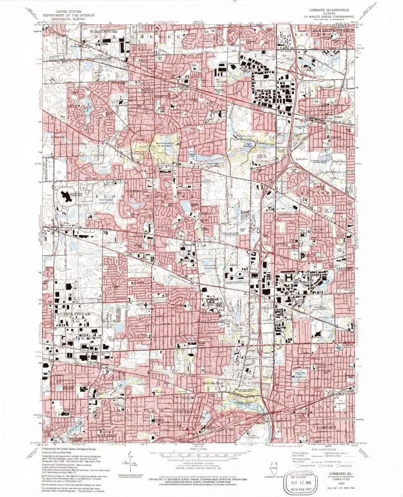
Lombard
1962
1:24k
Lombard
1962
1:24k
Lombard
1962
1:24k
Lombard
1953
1:24k
Geschichte